Global Volcanism Program | Image GVP-10690
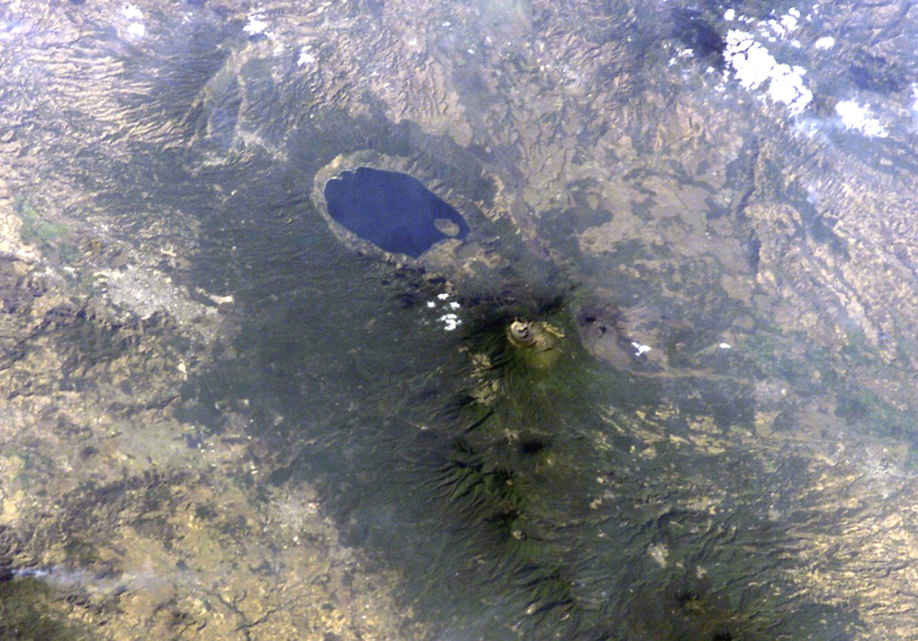
Lake-filled Coatepeque caldera is prominent in this International Space Station image with north to the lower left. A post-caldera lava dome forms an island at the SW side of the lake. The nested summit craters of Santa Ana volcano are visible below and to the right of Coatepeque, and the unvegetated cone of Izalco volcano is to the right of Santa Ana. Small stratovolcanoes of the Sierra de Apaneca form the forested ridge at the bottom right. The light-colored area at the left-center is the city of Santa Ana, the second largest in El Salvador.
NASA International Space Station image ISS004-E-9398, 2002 (http://eol.jsc.nasa.gov/).
![]() This image is made available as a Public Domain Work, but proper attribution is appreciated.
This image is made available as a Public Domain Work, but proper attribution is appreciated.
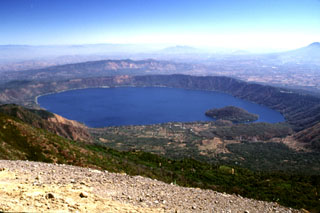
Coatepeque Caldera
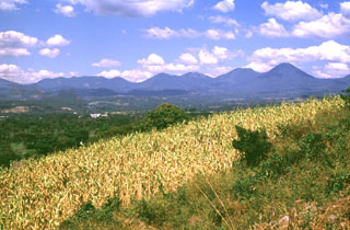
Apaneca Range

Santa Ana