Global Volcanism Program | Image GVP-11247
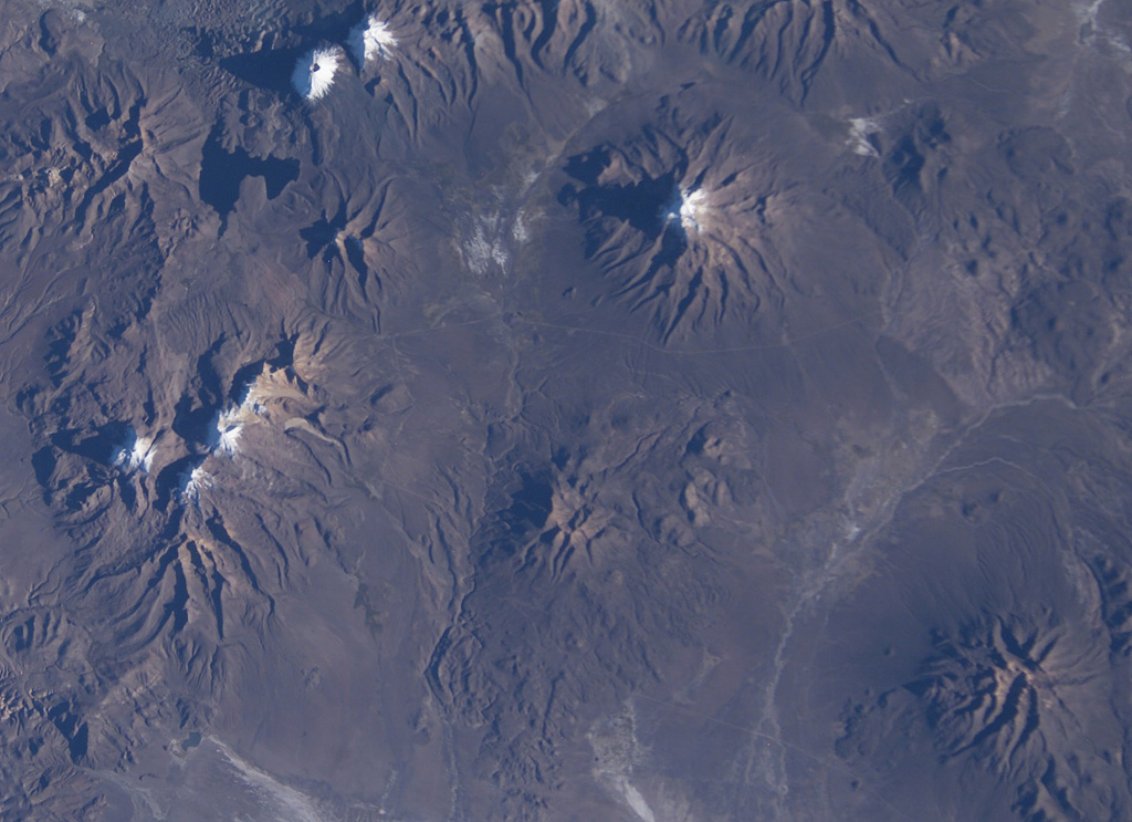
Snow capped volcanoes dot this NASA International Space Station image (with north to the upper right) taken along the Chile-Bolivia border. The snow-capped peak at the far left-center is Guallatiri volcano, and to its right are the three peaks of Nevados Quimsachata, which includes Acotango volcano. The two peaks at the upper left are Pomerape and Parinacota, with Laguna Chungara below. Nevado del Sajama in Bolivia lies at the upper right-center. At the lower right is the snow-free volcano of Macizo de Larancagua.
NASA International Space Station image ISS009-E-6848, 2004 (http://eol.jsc.nasa.gov/).
![]() This image is made available as a Public Domain Work, but proper attribution is appreciated.
This image is made available as a Public Domain Work, but proper attribution is appreciated.
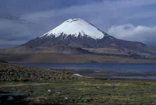
Parinacota
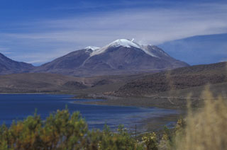
Guallatiri