Global Volcanism Program | Image GVP-11473
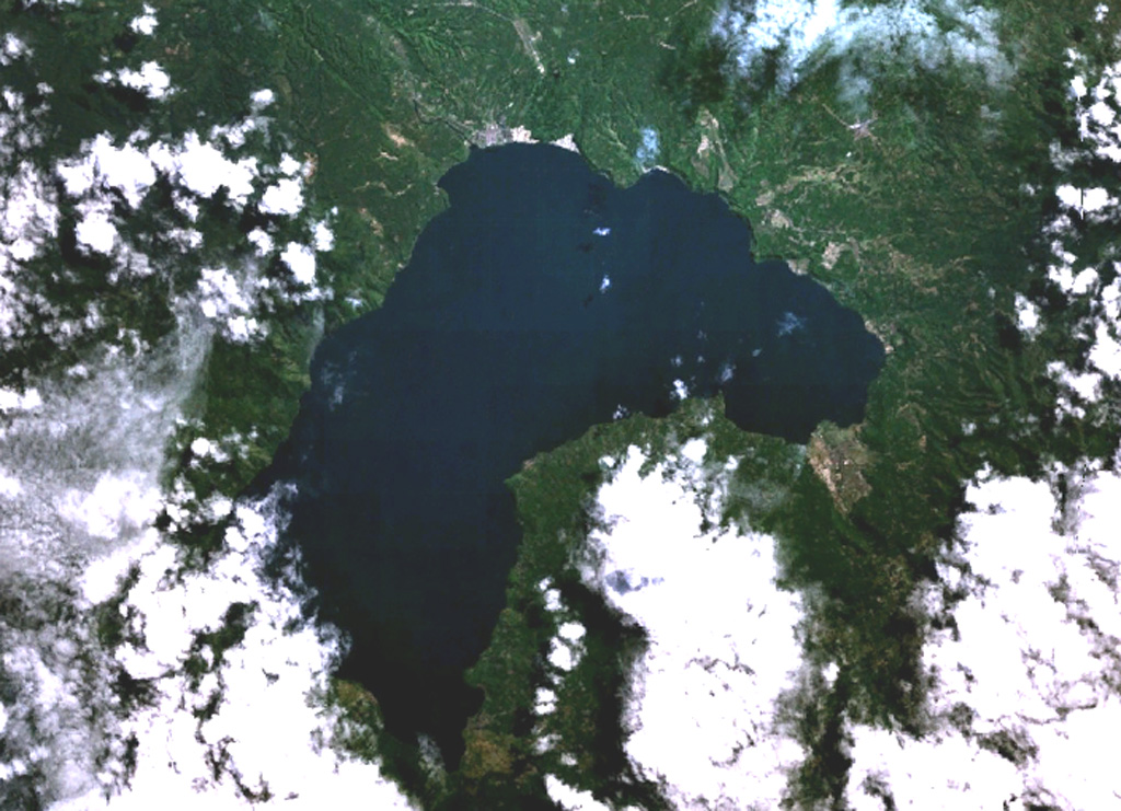
Lake Ranau partially fills the 8 x 13 km Ranau caldera. A morphologically young post-caldera stratovolcano, Gunung Semuning, its summit obscured by clouds below the bottom center lake shore in this NASA Landsat image (N is to the top), was constructed within the SE side of the caldera to a height of more than 1,600 m above the caldera lake surface. The age of the most recent eruptions at Ranau are not known, but fish kills and the smell of sulfur in the late 19th and early 20th centuries may have been related to eruptions within the lake.
NASA Landsat 7 image (worldwind.arc.nasa.gov)
![]() This image is made available as a Public Domain Work, but proper attribution is appreciated.
This image is made available as a Public Domain Work, but proper attribution is appreciated.
Keywords: crater | crater lake

Ranau