Image GVP-11723
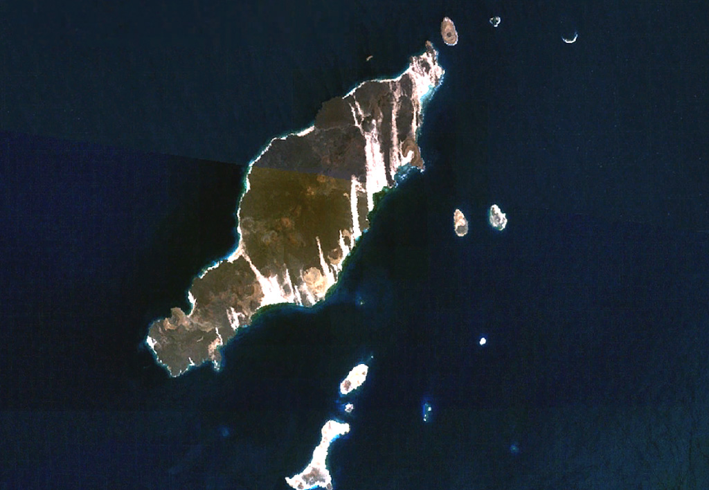
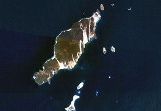
The 20-km-long island of Hanish is seen in this composite NASA Landsat image (with north to the top). Alignment of vents along a prominent NE-SW trend gives the island its elongated shape. Short lava flows reached the coast on both sides of the island, including a very youthful flow prominent on the NW coast. Initial phreatic eruptions were followed by the formation of basaltic tuff and spatter cones that produced fluid lava flows. Suyul Hanish Island lies at the bottom center, and other offshore island lie along the regional NE-SW trend.
NASA Landsat 7 image (worldwind.arc.nasa.gov)
![]() This image is made available as a Public Domain Work, but proper attribution is appreciated.
This image is made available as a Public Domain Work, but proper attribution is appreciated.
Keywords: remote sensing | island volcano
Hanish