Global Volcanism Program | Image GVP-11731
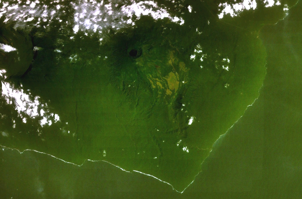
A dark-colored lake partially fills a small caldera (top-center) occupying the summit of San Joaquin volcano in this NASA Landsat view with north to the top. This basaltic shield volcano, also known as Pico Biao, lies on the SE side of Bioko (Fernando Poo) Island in the Gulf of Guinea. Part of the broad summit caldera of neighboring San Carlos volcano can be seen at the left.
NASA Landsat 7 image (worldwind.arc.nasa.gov)
![]() This image is made available as a Public Domain Work, but proper attribution is appreciated.
This image is made available as a Public Domain Work, but proper attribution is appreciated.
San Joaquin