Global Volcanism Program | Image GVP-11910
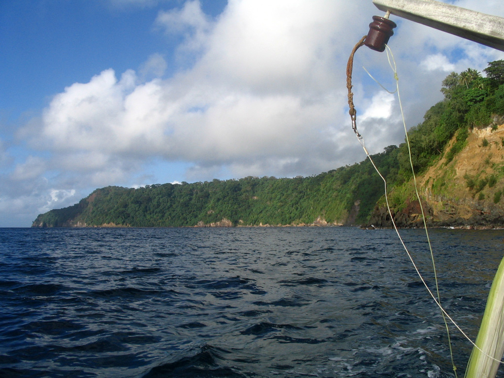
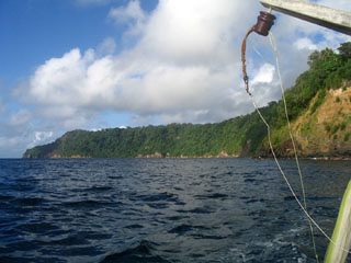
The forested cliff marks the upper caldera wall of the largely-submarine Kuwae caldera between Epi and Tongoa islands. The 6 x 12 km caldera contains two basins that cut the NW end of Tongoa Island and the flank of the late-Pleistocene or Holocene Tavani Ruru volcano on the SE tip of Epi Island. The Karua volcano lies near the northern rim of the caldera. It has formed several ephemeral islands since it was first observed in eruption during 1897.
Photo by Karoly Nemeth, 2005 (Massey University).
![]() This image is made available under the Creative Commons BY-NC 4.0 license terms.
This image is made available under the Creative Commons BY-NC 4.0 license terms.
Keywords: caldera
Kuwae