Global Volcanism Program | Image GVP-12161
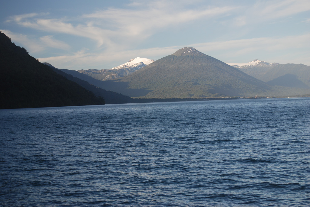
Symmetrical forested Volcán Hornopirén is seen from the SW from a ferry approaching the town of the same name at the head of a fjord at the NE end of the Gulf of Ancud. The 1572-m-high volcano, whose name means "snow oven," lies along a graben defined by the major regional Liquiñe-Ofqui fault zone. The volcano was said to be in eruption in 1835, although no details are known. Glacier-capped Yate volcano appears in the background to the left of Hornopirén.
Photo by Jon Major, 2011 (USGS, Cascades Volcano Observatory).
![]() This image is made available as a Public Domain Work, but proper attribution is appreciated.
This image is made available as a Public Domain Work, but proper attribution is appreciated.
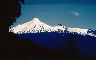
Yate
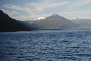
Hornopirén