Global Volcanism Program | Image GVP-12304
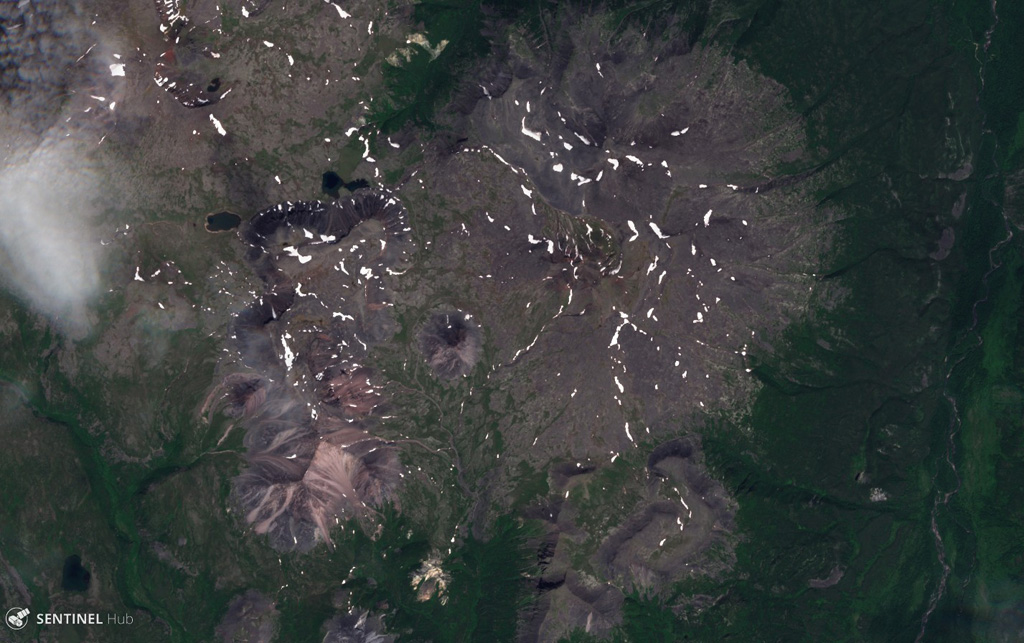
Maly Payalpan has a northern and southern peak, visible in this 27 July 2019 Sentinel-2 satellite image (N is at the top). The complex covers an area of 65 km2 and contains obsidian lava flows. This image is approximately 14 km across.
Satellite image courtesy of Copernicus Sentinel Data, 2019.
![]() This image is made available under the Creative Commons BY-SA 4.0 license terms.
This image is made available under the Creative Commons BY-SA 4.0 license terms.
Maly Payalpan