Global Volcanism Program | Image GVP-12354
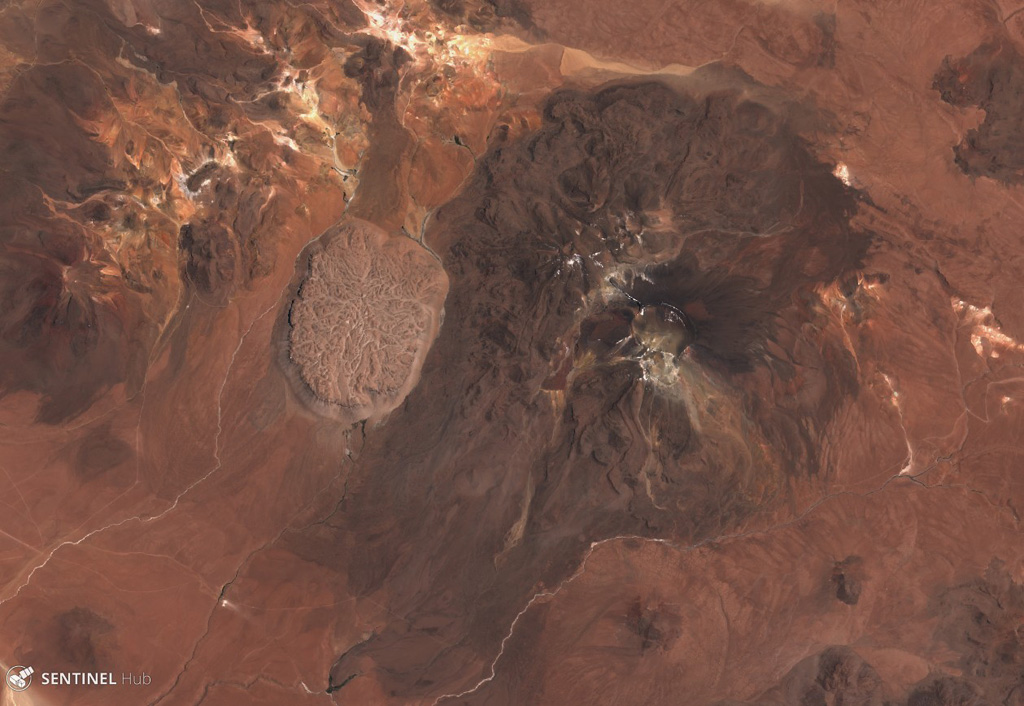
The Cerro la Torta lava dome formed on the western flank of Cerros de Tocorpuri around 34 ka, shown in this 5 November 2019 Sentinel-2 satellite image (N is at the top). The N-S length of the dome is 4 km with an areal extent of 12 km2, and a 4.7 km3 volume. The complex is located along the Chile-Bolivia border.
Satellite image courtesy of Copernicus Sentinel Data, 2019.
![]() This image is made available under the Creative Commons BY-SA 4.0 license terms.
This image is made available under the Creative Commons BY-SA 4.0 license terms.
Keywords: lava dome
Cerros de Tocorpuri