Global Volcanism Program | Image GVP-12404

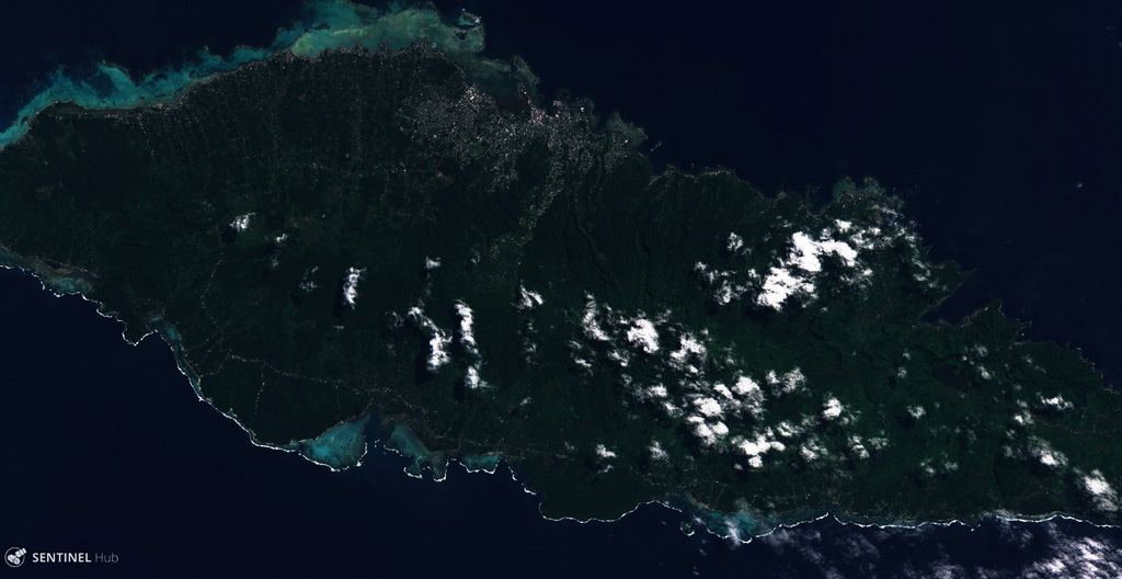
Upolo Island in Samoa is shown in this 8 august 2018 Sentinel-2 satellite image (N is at the top; this image is approximately 70 km across). Younger monogenetic cones and craters that produced lava flows are aligned along the WNW-ESE central ridge, with some lava flows having reached the coast.
Satellite image courtesy of Copernicus Sentinel Data, 2019.
![]() This image is made available under the Creative Commons BY-SA 4.0 license terms.
This image is made available under the Creative Commons BY-SA 4.0 license terms.
Keywords: island volcano

Upolu
