Image GVP-12466
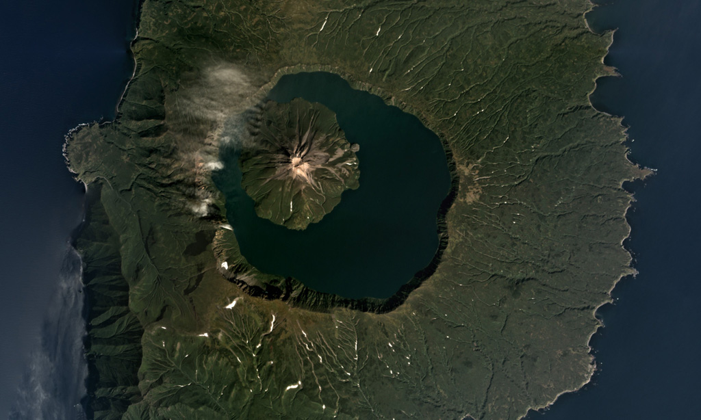
The 7-km-wide Tao-Rusyr Caldera at the southern end of Onekotan Island is shown in this September 2017 Planet Labs satellite image monthly mosaic (N is at the top). The caldera formed at the summit of the broader 16-17 km diameter edifice during an eruption 7,500 years ago, and emplaced a large non-welded ignimbrite deposit. The Krenitsyn Peak cone formed in the NW side of the caldera.
Satellite image courtesy of Planet Labs Inc., 2017 (https://www.planet.com/).
Copyrighted image used with permission. All Rights Reserved. Contact photographer for any usage requests.
Galleries: Calderas
Keywords: caldera
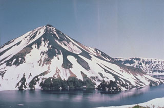
Tao-Rusyr Caldera