Global Volcanism Program | Image GVP-12469
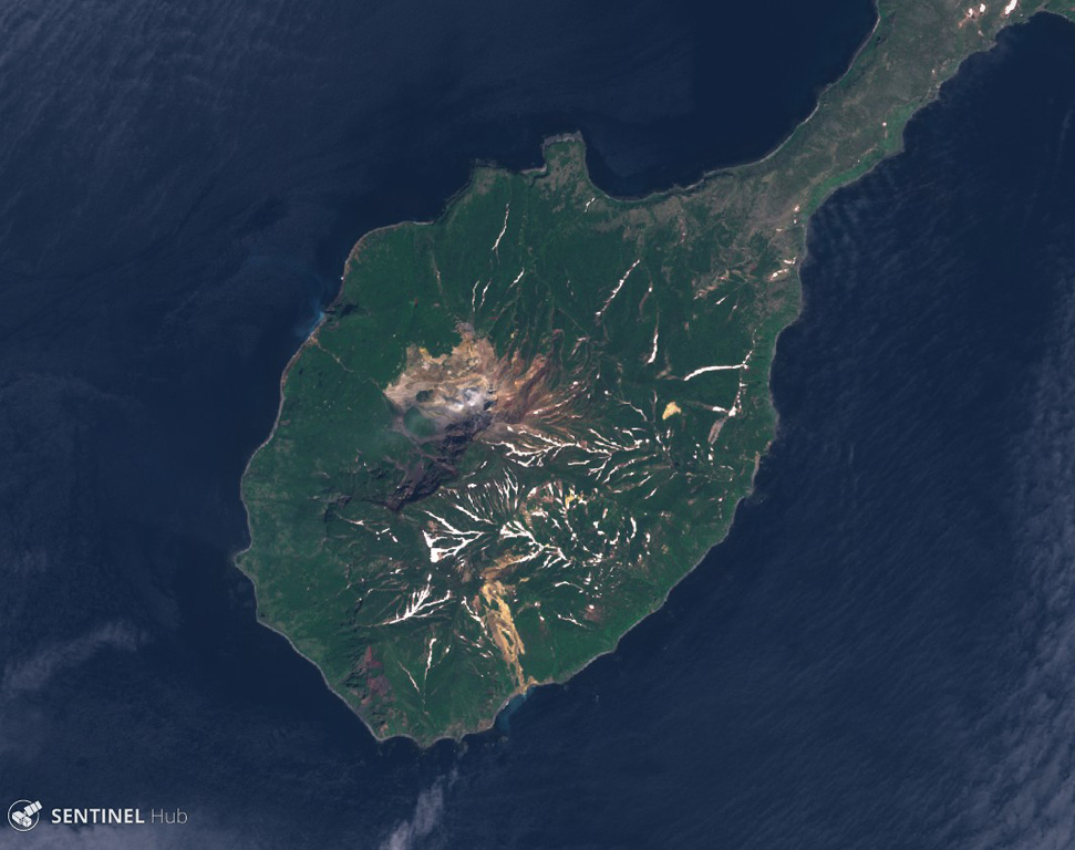
Kuntomintar comprises the southern part of Shiashkotan Island, shown in this June 2020 Planet Labs satellite image monthly mosaic (N is at the top; this image is approximately 8.5 km across). Several Holocene craters are preserved along the summit and geothermal activity occurs within the active crater inside the large scarp that opens to the NW.
Satellite image courtesy of Planet Labs Inc., 2019 (https://www.planet.com/).
Copyrighted image used with permission. All Rights Reserved. Contact photographer for any usage requests.
Keywords: landslide scarp
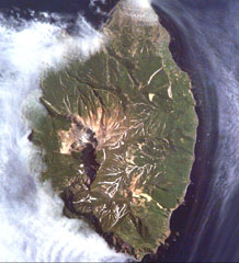
Kuntomintar