Global Volcanism Program | Image GVP-12503
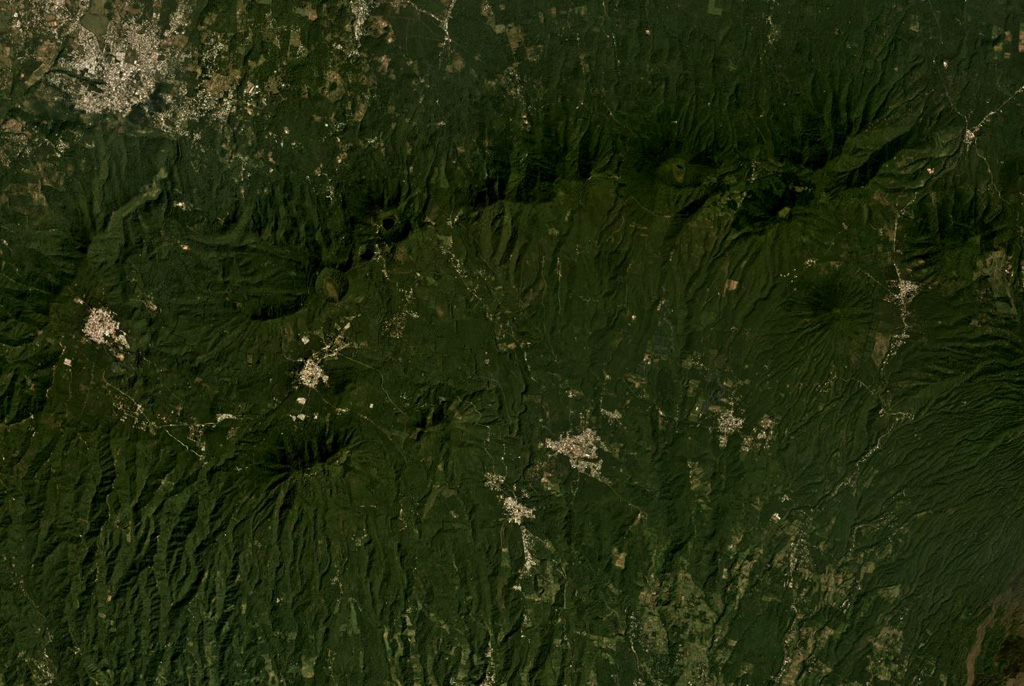
The E-W trending Apaneca Range is across the middle of this November 2019 Planet Labs satellite image monthly mosaic (N is at the top; this image is approximately 25 km across). The range includes the roughly E-W ridge along the upper half of this image, and the two cones below it – the linear Cerro de Apaneca and Cuyotepe just E of it. The crater on the western end of the ridge is Laguna las Ninfas, and the small lake NE is Cerro Laguna Verde. West of those is the Concepción de Ataco caldera.
Satellite image courtesy of Planet Labs Inc., 2019 (https://www.planet.com/).
Copyrighted image used with permission. All Rights Reserved. Contact photographer for any usage requests.
Keywords: erosion | stratovolcano | crater
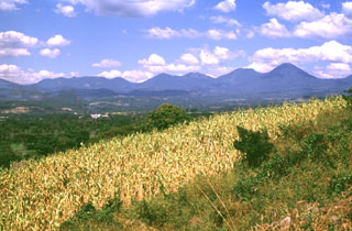
Apaneca Range