Global Volcanism Program | Image GVP-12668
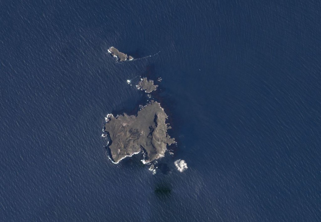
The roughly 2-km-wide, 3 km2 Nightingale (lower), Middle, and Stoltenhoff (top) islands in the South Atlantic Ocean are shown in this January 2018 Planet Labs satellite image monthly mosaic (N is at the top). The heavily eroded Island is the southernmost of the Tristan da Cunha group, and a submarine eruption occurred in 2004.
Satellite image courtesy of Planet Labs Inc., 2018 (https://www.planet.com/).
Copyrighted image used with permission. All Rights Reserved. Contact photographer for any usage requests.
Keywords: island volcano

Nightingale Island