Report on Kadovar (Papua New Guinea) — May 1978
Scientific Event Alert Network Bulletin, vol. 3, no. 5 (May 1978)
Managing Editor: David Squires.
Kadovar (Papua New Guinea) Thermal activity declines slightly
Please cite this report as:
Global Volcanism Program, 1978. Report on Kadovar (Papua New Guinea) (Squires, D., ed.). Scientific Event Alert Network Bulletin, 3:5. Smithsonian Institution. https://doi.org/10.5479/si.GVP.SEAN197805-251002
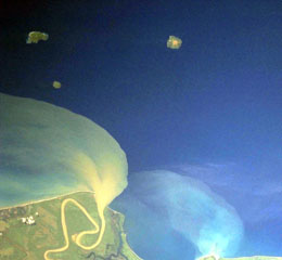
Kadovar
Papua New Guinea
3.608°S, 144.588°E; summit elev. 365 m
All times are local (unless otherwise noted)
Thermal activity was continuing in late March. An aerial inspection 21 March and a ground inspection the next day revealed that although principal fumaroles remained at the same level of activity as before, a slight decrease of activity in the main (S flank) thermal zone is indicated by minor revegetation. The odor of acid gases was no longer present at several groups of fumaroles and temperatures have dropped slightly (from 100 to 97-97.5°C). However, another area of thermal activity (high on the E side of the lava dome) had produced a significant vegetation kill in the past few months.
Geological Summary. The 2-km-wide island of Kadovar is the emergent summit of a Bismarck Sea stratovolcano of Holocene age. It is part of the Schouten Islands, and lies off the coast of New Guinea, about 25 km N of the mouth of the Sepik River. Prior to an eruption that began in 2018, a lava dome formed the high point of the andesitic volcano, filling an arcuate landslide scarp open to the south; submarine debris-avalanche deposits occur in that direction. Thick lava flows with columnar jointing forms low cliffs along the coast. The youthful island lacks fringing or offshore reefs. A period of heightened thermal phenomena took place in 1976. An eruption began in January 2018 that included lava effusion from vents at the summit and at the E coast.
Information Contacts: R. Cooke, RVO.