Global Volcanism Program | Image GVP-01830
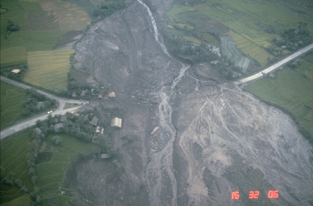
Lahars from the 1984 eruption of Mayon volcano swept down the NW and SW flanks. This 24 September view shows lahar deposits burying the highway at the Santa Domingo junction on the lower E flank, about 8 km from the summit. Lahars from this eruption reached the Albay Gulf at several points.
Photo by Norm Banks, 1984 (U.S. Geological Survey).
![]() This image is made available as a Public Domain Work, but proper attribution is appreciated.
This image is made available as a Public Domain Work, but proper attribution is appreciated.
Galleries: Human Impacts | Lahars
Keywords: lahar | human impacts | damaged roads | deposit | environmental impact

Mayon