Global Volcanism Program | Image GVP-02895
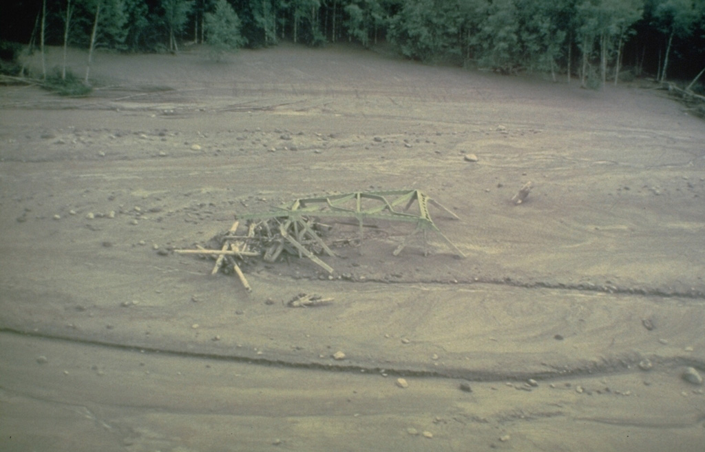
The twisted girders of a highway bridge within lahar deposits from Mount St. Helens. This 18 May 1980 mudflow was produced by dewatering (meltwater coming out) of the debris avalanche deposit in the North Fork Toutle River that traveled as far as the Columbia River, decreasing the depth of the navigational channel from 11 to 4 m.
Photo by Dan Miller, 1980 (U.S. Geological Survey).
![]() This image is made available as a Public Domain Work, but proper attribution is appreciated.
This image is made available as a Public Domain Work, but proper attribution is appreciated.
Galleries: Lahars
Keywords: damaged structures | damaged roads | lahar | human impacts | inundation | environmental impact

St. Helens