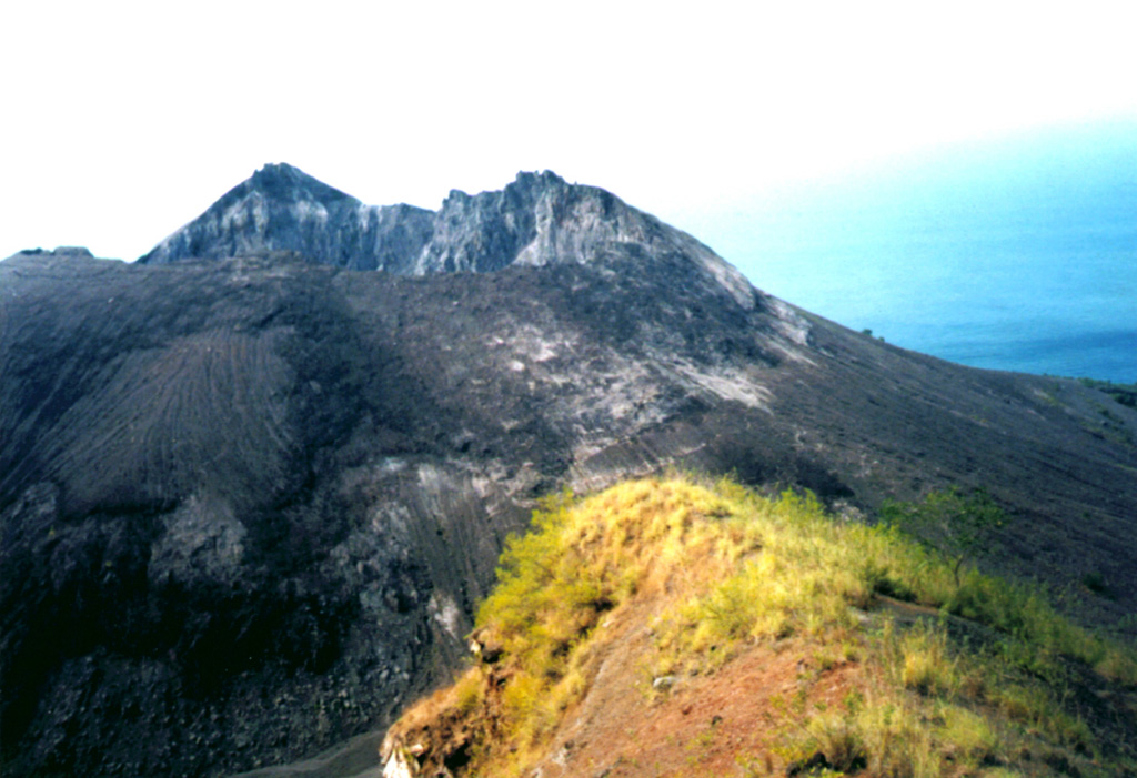
Barren Island (India) | 26 November-2 December 2025 | New Activity / Unrest
 Cite this Report Cite this Report
|
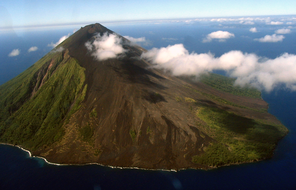
 Barren Island Barren Island
Andaman Volcanic Province
|
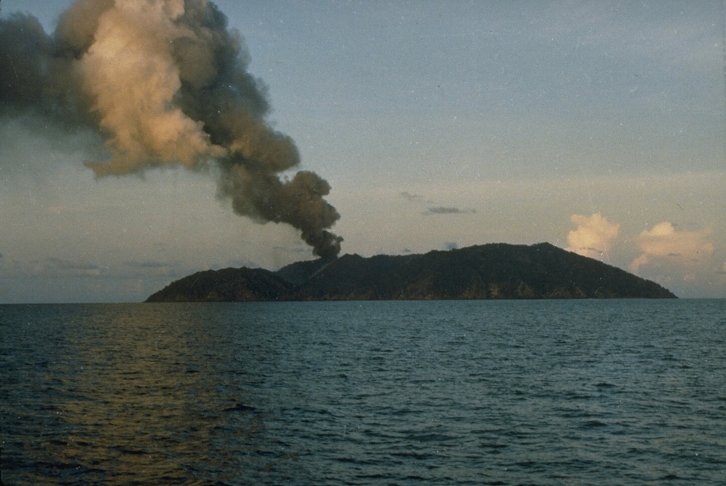
Eruptive activity continued at Barren Island during 28-29 November. The Darwin Volcanic Ash Advisory Centre (VAAC) reported that ash plumes were identified in satellite images rising 1.8-2.1 km (6,000-7,000 ft) a.s.l. and drifting SE, SW, and W. Weather clouds sometimes obscured views.
Source: Darwin Volcanic Ash Advisory Centre (VAAC)
|
Bezymianny (Russia) | 26 November-2 December 2025 | New Activity / Unrest
Cite this Report
|
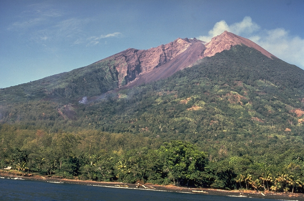
 Bezymianny Bezymianny
Eastern Kamchatka Volcanic Arc
|
The Kamchatkan Volcanic Eruption Response Team (KVERT) reported that activity at Bezymianny gradually increased during 21-25 November and intensified during 26-27 November. The Far Eastern Branch of the Russian Academy of Sciences (FEB RAS) reported that during 21-25 November hot avalanches descended the SE flank, the lava dome was occasionally incandescent, and a thermal anomaly was identified in satellite images; weather clouds sometimes obscured views, especially on 23 November. KVERT reported that on 25 November ash plumes from hot avalanches drifted 54 km NE.
Activity escalated on 26 November. At 0220 explosions produced ash plumes that rose 7 km (23,000 ft) a.s.l. and drifted 150 km E. At 0335 explosions generated ash plumes that rose to 10 km (32,800 ft) a.s.l. and drifted E, prompting KVERT to raise the Aviation Color Code to Red (the highest level on a four-color scale). FEB RAS noted that pyroclastic flows traveled down the SE flank. An hour later satellite image captured an ash plume covering a 70 x 50 km area, rising to 11.4 km (37,400 ft) a.s.l. and drifting 70 km W. By 1119 explosions and ash emissions were no longer being detected so the Aviation Color Code was lowered to Orange. Effusive activity remained high with gas-and-steam emissions and hot avalanches of material descending the flanks. At 2130 satellite images showed two plumes, one 660 km long and the other 480 km long, each as up to 50 km wide at the leading edge, drifting NW and E. The farthest point of the ash plumes was 1,040 km from the summit. Effusion and hot avalanches continued during 26-27 November. Ash plumes rose 3-4 km a.s.l. and drifted 60 km E from 2130 on 26 November to 0200 on 27 November; by 0331 no new ash clouds were visible. At 2256 the Aviation Color Code was lowered to Yellow. Dates are reported in UTC; specific events are in local time where noted.
Sources: Kamchatkan Volcanic Eruption Response Team (KVERT), Kamchatka Volcanological Station, Institute of Volcanology and Seismology (IVS) of the Far Eastern Branch of the Russian Academy of Sciences (FEB RAS)
|
Erta Ale (Ethiopia) | 26 November-2 December 2025 | New Activity / Unrest
Cite this Report
|
 Erta Ale Erta Ale
Afar Rift Volcanic Province
|
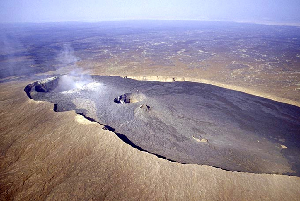
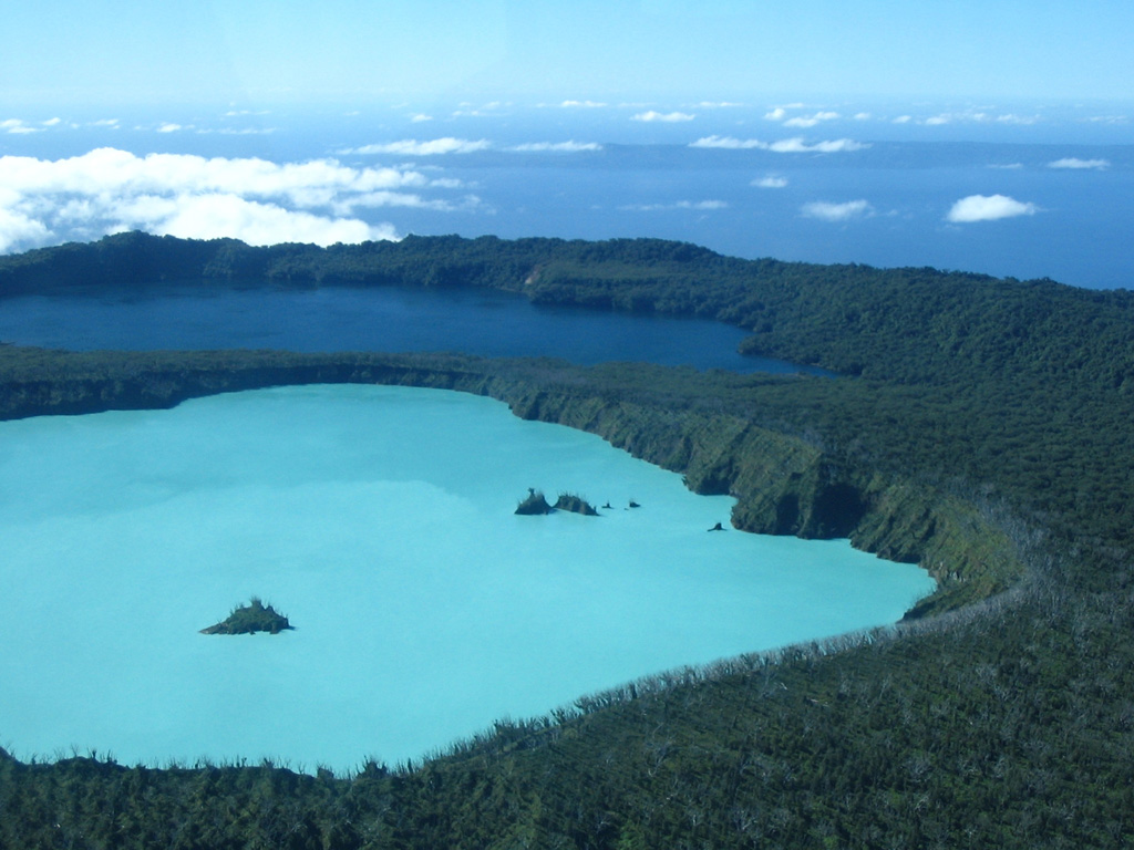
Satellite images captured Erta Ale and the surrounding region on 23 and 25 November, before and after the 23 November eruption at Hayli Gubbi. The 25 November image showed extensive ashfall across Erta Ale and a new collapsed area, in the northern caldera SE of the previously active pit craters, was about 685 m NNW-SSE and about 385 m ENE-WSW. White plumes rose from both the N and S pit craters in both images.
Source: Copernicus
|
Hayli Gubbi (Ethiopia) | 26 November-2 December 2025 | New Activity / Unrest
Cite this Report
|
 Hayli Gubbi Hayli Gubbi
Afar Rift Volcanic Province
|
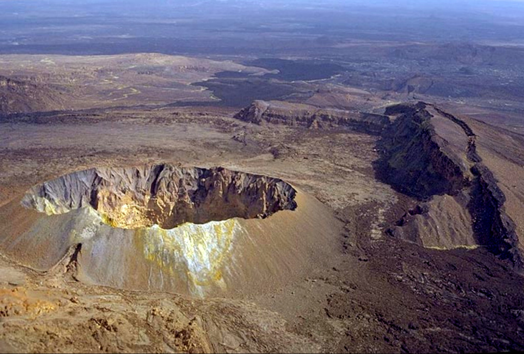
The first recorded explosive eruption at Hayli Gubbi was detected in satellite data at around 1130 on 23 November. Explosions produced a significant gas-and-ash plume that rose 10-15 km (32,800-50,000 ft) a.s.l. and drifted E and ENE over several countries, reaching China by the next day. A plume of pyroclastic material also traveled N about 130 km, spreading about 60 km laterally; it was unknown if the plume was related to a pyroclastic density current (PDC) or ash and gas drifting at a low altitude. Photos in news reports suggested that the eruption produced potentially far-reaching PDCs. According to a Centre for Observation and Modelling of Earthquakes, Volcanoes and Tectonics (COMET) uplift of a few centimeters at most was detected during 13-19 November.
Satellite images captured Hayli Gubbi, Erta Ale, and the region on 23 and 25 November, before and after the eruption. The 25 November image showed extensive ashfall to the NNW, NE, and E. The main crater was enlarged, expanding from around 330 to 390 m in diameter N-S and around 330 to 360 m in diameter E-W. Two new craters had formed. The first was located about 100 m ESE of the main crater and was about 255 m in diameter. The second new crater adjacent to S of the first new crater was smaller, about 110 m in diameter. A white plume was rising from the main crater.
News reports noted that although there were no deaths the ashfall contaminated water and food sources, covering grazing fields for livestock.
Sources: Copernicus, The UK Centre for Observation and Modelling of Earthquakes, Volcanoes and Tectonics (COMET), NDTV
|
Iliwerung (Indonesia) | 26 November-2 December 2025 | New Activity / Unrest
Cite this Report
|
 Iliwerung Iliwerung
Sunda Volcanic Arc
|
The Pusat Vulkanologi dan Mitigasi Bencana Geologi (PVMBG) reported increased seismicity at Iliwerung during November, notably on 29 November. Deep volcanic earthquakes were occasionally recorded in 2025, notably there were 21 events on 1 January, 11 events on 6 September, and 47 events on 14 September. During 1-28 November the seismic network recorded seven deep volcanic earthquakes, 27 local tectonic earthquakes, 18 felt earthquakes, and 108 distant tectonic earthquakes. On 29 November there were 19 deep volcanic earthquakes, six local tectonic earthquakes, one felt earthquake, and four distant tectonic earthquakes. During 0000-1100 on 30 November the network recorded four deep volcanic earthquakes and 1one local tectonic earthquake. No activity was observed during 1-30 November at locations around the crater nor at submarine locations. The increased seismicity prompted PVMBG to raise the Alert Level to 2 (on a scale of 1-4) at 1200 on 30 November. The public was warned to stay 2 km away from the crater and to be cautious around the Bualan area.
Source: Pusat Vulkanologi dan Mitigasi Bencana Geologi (PVMBG, also known as CVGHM)
|
Lewotobi (Indonesia) | 26 November-2 December 2025 | New Activity / Unrest
Cite this Report
|
 Lewotobi Lewotobi
Sunda Volcanic Arc
|
In a special report posted on 3 December the Pusat Vulkanologi dan Mitigasi Bencana Geologi (PVMBG) provided details about a lahar that impacted local villages near Lewotobi Laki-laki. The lahar descended the flanks and flowed into residential areas during 0517-0636. Weather conditions prevented views of the flanks, though rumbling could be heard within a radius of 3 km. Three houses in Dulipali Village (4 km NW) were severely damaged and one house in Klatanlo Village (4 km NW) was buried by 40 cm of lahar material. A collapsed utility pole in Dulipali resulted in power outages. The Maumere–Larantuka road was temporarily blocked by the lahar. The Alert Level remained at 4 (the highest level on a scale of 1-4) and the public was warned to stay 6 km away from the center of Laki-laki and 7 km in an area clockwise from NW to NE.
Source: Pusat Vulkanologi dan Mitigasi Bencana Geologi (PVMBG, also known as CVGHM)
|
Piton de la Fournaise (France) | 26 November-2 December 2025 | New Activity / Unrest
Cite this Report
|
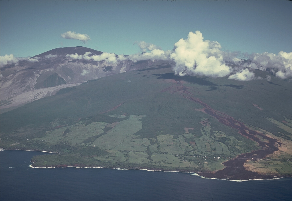 Piton de la Fournaise Piton de la Fournaise
Reunion Hotspot Volcano Group
|
The Observatoire Volcanologique du Piton de la Fournaise (OVPF) reported that unrest increased at Piton de la Fournaise during September and November. Deep seismicity with signals located at depths of 20 km, began in mid-September and continued in November. Inflation began to be detected in late November with Global Navigation Satellite System (GNSS) data indicating that the magmatic source was shallow and about 2.5 km below the summit. Seismicity increased on 22 November characterized by low-magnitude signals ~4-5 km deep beneath the N rim of Dolomieu Crater; a total of 26 deep volcano-tectonic earthquakes were recorded during 24-26 November. Several long-period (LP) events began to be detected on 24 November. During 26-30 November there was a notable increase in daily shallow volcano-tectonic events. The increase in seismicity was accompanied by increased sulfur dioxide emissions, though fluxes were low, close to the detection threshold. The hazard status of "Vigilance" (or a Yellow Alert) was initiated on 28 November and described as “a possible eruption in medium term (a few days or weeks) or presence of risks on the sector (rockfalls, increase of gas emissions, still hot lava flows)”.
Source: Observatoire Volcanologique du Piton de la Fournaise (OVPF)
|
Purace (Colombia) | 26 November-2 December 2025 | New Activity / Unrest
Cite this Report
|
 Purace Purace
Northern Andean Volcanic Arc
|
The Servicio Geologico Colombiano (SGC) reported increased activity and gas-and-ash emissions at Puracé. Continuous volcanic tremor was recorded by the seismic network during 19-25 November. Seismic signals indicting rock fracturing occurred at similar levels compared to the week before with events located between the Puracé, Piocollo, and Curiquinga volcanoes at depths of 1-3 km. Sulfur dioxide emissions remained within the range recorded in previous weeks. Slow deformation between the Puracé, Piocollo, and Curiquinga volcanoes had continued since the eruptive episode at Curiquinga on 20 January. On 23 November the characteristics of seismic signals indicating fluid movement changed, with some signals accompanied by ash emissions identified by the monitoring network and observed by surrounding communities and SCG employees conducting fieldwork. The earthquakes were mainly located beneath the W flank at depths less than 1 km. At 0638 on 25 November a gas-and-ash plume rose 1.6 km above the summit and drifted SW. On 27 November ashfall was reported in various locations NW in the municipality of Puracé, specifically in rural areas including Cristales, Anambío (7 km NW), Alto Michabala, and Chapío, and to the W in the municipal seat of Coconuco (11 km WNW). Minor ashfall and strong sulfur odors during 0800-1000 on 29 November were reported by residents of the Río Negro village in the Paletará district (16 km SW), from the Mina de Azufre, Agua Hirviendo (10 km WNW), and Totoró road areas, and the N part of Popayán (28 km NW). Activity intensified during the morning of 30 November. The seismic network detected an increase in both the intensity and number of earthquakes associated with fluid movement. Several ash-and-gas plumes were observed rising as high as 1 km above the summit and drifting NW. At 0830 the Alert Level was raised to Orange (the second highest level on a four-color scale) and the public was warned to stay away from the crater. Unidad Nacional para la Gestión del Riesgo de Desastres (UNGRD) recommended that local authorities consider evacuating about 70 residents living in a high-threat sector.
On 1 December a resident of Pululó village (about 7 km SW) noted that the color of the San Francisco River had changed color and had a brown hue, possibly related to rain transporting ash into the river. Ashfall was noted in San Juan de Puracé area at around 1400. Later that day, at 2327 a tremor signal was associated with a gas-and-ash plume that rose 500 m above the summit and drifted SE. During 1-2 December seismicity remained elevated and was associated with continuous gas-and-steam emissions that drifted in various directions. Some of the emissions contained ash and rose around 500 m above the summit, though weather conditions sometimes obscured views.
Sources: Servicio Geológico Colombiano (SGC), Gestión del Riesgo de Desastres (UNGRD), Gobernación del Cauca
|
Semeru (Indonesia) | 26 November-2 December 2025 | New Activity / Unrest
Cite this Report
|
 Semeru Semeru
Sunda Volcanic Arc
|
The Pusat Vulkanologi dan Mitigasi Bencana Geologi (PVMBG) reported that after the large 19 November pyroclastic density currents at Semeru small- to medium-scale eruptive activity continued and instrumental data indicated no new supply of magma at depth. During 20-29 November the seismic network recorded low levels volcanic earthquake activity, and no post-event deformation was seen in tiltmeter or GPS data. At 0900 on 29 November the Alert level was lowered to 3 (the second highest level on a scale of 1-4) and the public was warned to stay at least 5 km away from the summit in all directions, 13 km from the summit on the SE flank along the Kobokan drainage, and 500 m from the banks of the Kobokan drainage as far as 17 km SE of the summit.
Multiple daily eruptive events were recorded during 26 November-2 December; sometimes weather conditions prevented visual confirmation. Daily white-and-gray ash plumes were visible rising 400-900 m above the summit and drifting SW and S. Incandescence at the summit on the upper SE flank was visible in several nighttime webcam images.
Source: Pusat Vulkanologi dan Mitigasi Bencana Geologi (PVMBG, also known as CVGHM)
|
Aira (Japan) | 26 November-2 December 2025 | Continuing ActivityCite this Report |
 Aira Aira
Ryukyu Volcanic Arc
|
The Japan Meteorological Agency (JMA) reported ongoing eruptive activity at Minamidake Crater (Aira Caldera’s Sakurajima volcano) during 24 November-1 December with five eruptive events and two explosions. Nightly crater incandescence was visible in webcam images. Sulfur dioxide emissions were characterized as extremely high, averaging 4,500 tons per day on 25 November. An explosion at 2120 on 24 November ejected blocks 600-900 m from the vent; emission characteristics were unknown. At 0223 on 27 November an explosion generated an ash plume that rose 3 km above the summit and ejected blocks 300-500 m from the vent. By 0800 notable ashfall was reported in Kagoshima City (about 10 km W). Ash plumes from eruptive events at 0254 and at 1440 on 27 November, at 1332 on 28 November, and at 1631 on 30 November rose 1-1.4 km above the crater rim and drifted NE, E, and SE. The Alert Level remained at 3 (on a 5-level scale), and the public was warned to be cautious within 2 km of both the Minimadake and Showa craters.
Source: Japan Meteorological Agency (JMA)
|
Ambae (Vanuatu) | 26 November-2 December 2025 | Continuing ActivityCite this Report |
 Ambae Ambae
Vanuatu Volcanic Arc
|
The Vanuatu Meteorology and Geohazards Department (VMGD) reported ongoing unrest at Ambae during the month of November based on seismic and satellite data and webcam images. Sulfur dioxide emissions at variable rates were identified in satellite images during 1-3, 5-13, 15-17, and 19-24 November. Steam and/or gas emissions were visible in satellite and webcam observations during 3-4, 6-10, 12, 14, 18-19, and 23-25 November. A low-level thermal anomaly was also detected in satellite images during 3, 5-7, 10-12, and 25 November. According to the Wellington Volcanic Ash Advisory Center (VAAC) a low-level ash plume rose to 2.4 km (8,000 ft) a.s.l. and drifted NE on 1 and 3 December. The Alert Level remained at 2 (on a scale of 0-5), and the public was warned to stay outside of Danger Zone A, defined as a 2-km radius around the active vents in Lake Voui, and to stay away from drainages during heavy rains.
Sources: Vanuatu Meteorology and Geohazards Department (VMGD), Wellington Volcanic Ash Advisory Center (VAAC)
|
Ambrym (Vanuatu) | 26 November-2 December 2025 | Continuing ActivityCite this Report |
 Ambrym Ambrym
Vanuatu Volcanic Arc
|
The Vanuatu Meteorology and Geohazards Department (VMGD) reported ongoing unrest at Ambrym during November. Small fumarolic plumes rose from both craters based on 2 November observations photos. A weak thermal anomaly was detected in satellite images during 3, 5-7, and 11 November. Seismic data confirmed ongoing unrest and was characterized by volcanic tremor and several volcano-seismic events. The Alert Level remained at 2 (on a scale of 0-5). VMGD warned the public to stay outside of Permanent Danger Zone A, defined as a 1-km radius around Benbow Crater and a 2-km radius around Marum Crater, and to stay 500 m away from the ground cracks created by the December 2018 eruption.
Source: Vanuatu Meteorology and Geohazards Department (VMGD)
|
Fuego (Guatemala) | 26 November-2 December 2025 | Continuing ActivityCite this Report |
 Fuego Fuego
Central America Volcanic Arc
|
The Instituto Nacional de Sismología, Vulcanologia, Meteorologia e Hidrología (INSIVUMEH) reported that eruptive activity at Fuego continued during 25 November-2 December. Daily Strombolian explosions recorded by the seismic network, at rates of 4-15 per hour, generated gas-and-ash plumes that rose as high as 1.1 km above the summit and drifted as far as 40 km NW, W, and SW. Occasional rumbling sounds, shock waves, and/or sounds associated with gas emissions were reported. Explosions occasionally ejected incandescent material as high as 200 m above the summit and showered the upper flanks with incandescent material. Daily incandescent avalanches of material descended the flanks, including the Las Lajas (SE), Seca (W), Taniluya (SSW), Trinidad (SSW), Santa Teresa (W), El Jute (ESE), Honda, and Ceniza (SSW) drainages, occasionally reaching vegetated areas. Ashfall was reported in areas downwind on most days including Panimache (8 km SW), Sangre de Cristo, Finca Palo Verde, El Porvenir (10 km S), Morelia (10 km SW), Santa Sofia (12 km SW), Los Yucales (12 km SW), and Yepocapa. The Coordinadora Nacional para la Reducción de Desastres (CONRED) reported that a tourist climbing near the crater on 30 November was injured and had to be carried down by companions and rescuers.
Sources: Instituto Nacional de Sismologia, Vulcanologia, Meteorologia, e Hidrologia (INSIVUMEH), Coordinadora Nacional para la Reducción de Desastres (CONRED)
|
Great Sitkin (United States) | 26 November-2 December 2025 | Continuing ActivityCite this Report |
 Great Sitkin Great Sitkin
Aleutian Ridge Volcanic Arc
|
The Alaska Volcano Observatory (AVO) reported that slow lava effusion continued to feed a thick flow in Great Sitkin’s summit crater during 26 November-2 December. Satellite data indicated that both the SW and SE parts of the flow margins had advanced during the previous week. Seismicity was low. Weather clouds obscured satellite and webcam views. The Volcano Alert Level remained at Watch (the third level on a four-level scale) and the Aviation Color Code remained at Orange (the third color on a four-color scale).
Source: US Geological Survey Alaska Volcano Observatory (AVO)
|
Ibu (Indonesia) | 26 November-2 December 2025 | Continuing ActivityCite this Report |
 Ibu Ibu
Halmahera Volcanic Arc
|
The Pusat Vulkanologi dan Mitigasi Bencana Geologi (PVMBG) reported that the eruption at Ibu continued during 26 November-2 December. Dense gray, gray-to-brown, or white-to-gray ash plumes rose 300-800 m above the summit and drifted NE, E, and SE on most days; weather conditions prevented visual confirmation on 2 December. Incandescence at the summit was visible in a few nighttime webcam images. The Alert Level remained at 2 (the second lowest level on a four-level scale) and the public was advised to stay 2 km away from the active crater and 3.5 km away from the N crater wall opening.
Source: Pusat Vulkanologi dan Mitigasi Bencana Geologi (PVMBG, also known as CVGHM)
|
Kanlaon (Philippines) | 26 November-2 December 2025 | Continuing ActivityCite this Report |
 Kanlaon Kanlaon
Negros-Sulu Volcanic Arc
|
The Philippine Institute of Volcanology and Seismology (PHIVOLCS) reported continuing eruptive activity at Kanlaon during 24 November-2 December. The seismic network recorded 0-5 daily volcanic earthquakes. Gas-and-steam emissions of variable densities rose 75-600 m above the crater rim and drifted NW, SW, and SSW; weather clouds obscured views on 25 November. Daily sulfur dioxide emissions ranged from 523 to 2,667 tonnes per day. Two ash emissions, six and 31 minutes long, were recorded on 24 November. One of the ash plumes, observed at 0554, rose 75 m above the crater rim and drifted SW. The Alert Level remained at 2 (on a scale of 0-5); the public was warned to stay out of the 4-km-radius Permanent Danger Zone (PDZ) and pilots were advised to avoid flying close to the summit.
Source: Philippine Institute of Volcanology and Seismology (PHIVOLCS)
|
Kilauea (United States) | 26 November-2 December 2025 | Continuing ActivityCite this Report |
 Kilauea Kilauea
Hawaiian-Emperor Hotspot Volcano Group
|
The Hawaiian Volcano Observatory (HVO) reported that the eruption within Kilauea’s Kaluapele summit caldera, characterized by episodic fountaining, incandescence, and intermittent spatter from craters along the SW margin of Halema’uma’u Crater, continued at variable levels during 25 November-2 December. Following several days of precursory overflows (76 total since 0930 on 21 November) and low dome fountaining, a sustained lava overflow at the N vent began at 1415 on 25 November and as followed by lava fountaining at 1430. Two sustained lava fountains rose as high as 180 m for 9.2 hours, erupting lava at a combined rate of 190 cubic meters per second. An estimated 6.3 million cubic meters of lava flows covered about 75 percent of the crater floor. The eruptive plume rose higher than 4.2 km (14,000 ft) a.s.l. Lava did not erupt from the S vent, though weak spattering and persistent flaming was visible. The N vent abruptly ceased erupting at 2339. During 26 November-2 December peaks in tremor were indicative of gas pistoning at depth within the vents. Incandescence at the S vent was visible during dark hours and incandescence at the N vent was visible during dark hours starting on 29 November. White gas emissions rose from the craters. Weak spattering at the N vent was visible overnight during 1-2 December. The Volcano Alert Level remained at Watch (the third level on a four-level scale) and the Aviation Color Code remained at Orange (the third color on a four-color scale).
Source: US Geological Survey Hawaiian Volcano Observatory (HVO)
|
Krasheninnikov (Russia) | 26 November-2 December 2025 | Continuing ActivityCite this Report |
 Krasheninnikov Krasheninnikov
Eastern Kamchatka Volcanic Arc
|
The Kamchatkan Volcanic Eruption Response Team (KVERT) reported that the eruption at Krasheninnikov continued during 21-27 November. A daily large thermal anomaly over the volcano was identified in satellite images. The Northern Cone continued to effuse lava onto the E flank. The Aviation Color Code remained at Orange (the second highest level on a four-color scale). Dates and times are provided in Coordinated Universal Time (UTC); specific events are indicated in local time where specified.
Source: Kamchatkan Volcanic Eruption Response Team (KVERT)
|
Lopevi (Vanuatu) | 26 November-2 December 2025 | Continuing ActivityCite this Report |
 Lopevi Lopevi
Vanuatu Volcanic Arc
|
The Vanuatu Meteorology and Geohazards Department (VMGD) reported continuing unrest at Lopevi during November. Seismicity was characterized by volcanic tremor and several volcano-seismic events. Small fumarolic steam plumes were continuously emitted from the summit crater during 3, 6-9, 13, 18, 20, and 24-25 November based on webcam images. Low-level thermal anomalies were identified in satellite images on 5, 7, and 10 November. The Alert Level remained at 2 (on a scale of 0-4).
Source: Vanuatu Meteorology and Geohazards Department (VMGD)
|
Manam (Papua New Guinea) | 26 November-2 December 2025 | Continuing ActivityCite this Report |
 Manam Manam
Bismarck Volcanic Arc
|
The Darwin Volcanic Ash Advisory Centre (VAAC) reported that an ash plume from Manam was identified in a satellite image at 1730 on 30 November drifting NW. Weather clouds obscured the area later that day and early on 1 December.
Source: Darwin Volcanic Ash Advisory Centre (VAAC)
|
Marapi (Indonesia) | 26 November-2 December 2025 | Continuing ActivityCite this Report |
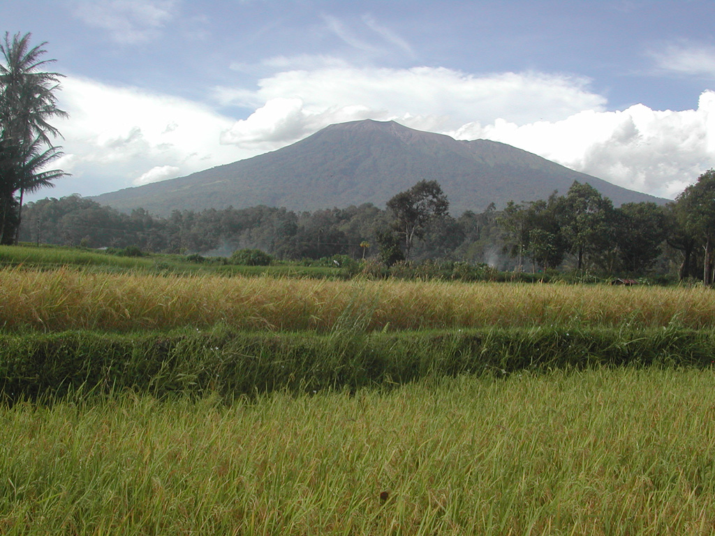 Marapi Marapi
Sunda Volcanic Arc
|
The Pusat Vulkanologi dan Mitigasi Bencana Geologi (PVMBG) reported that an eruptive event at Marapi (on Sumatra) was recorded at 2234 on 2 December. Emissions were not observed. The Alert Level remained at 2 (on a scale of 1-4) and the public was warned to stay 3 km away from the active crater.
Source: Pusat Vulkanologi dan Mitigasi Bencana Geologi (PVMBG, also known as CVGHM)
|
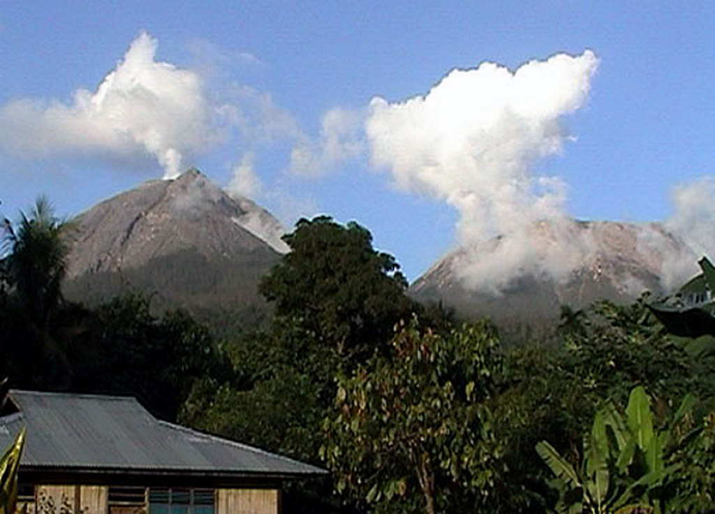
Merapi (Indonesia) | 26 November-2 December 2025 | Continuing ActivityCite this Report |
 Merapi Merapi
Sunda Volcanic Arc
|
The Pusat Vulkanologi dan Mitigasi Bencana Geologi (PVMBG) reported that the eruption at Merapi continued during 26 November-2 December. The seismic network recorded the descent of pyroclastic flows during 27-28 and 30 November. The SW lava dome produced nine lava avalanches that traveled as far as 1.9 km SW down the Bebeng drainage on 28 November, one that traveled 1.8 km down the Bebeng drainage on 30 November, 19 that traveled as far as 1.7 km SW down the Krasak drainage on 1 December, and six that traveled 2 km W down the Sat/Putih drainage. The Alert Level remained at 3 (on a scale of 1-4), and the public was warned to stay 3-7 km away from the summit, based on location.
Source: Pusat Vulkanologi dan Mitigasi Bencana Geologi (PVMBG, also known as CVGHM)
|
Sabancaya (Peru) | 26 November-2 December 2025 | Continuing ActivityCite this Report |
 Sabancaya Sabancaya
Central Andean Volcanic Arc
|
The Instituto Geofísico del Perú’s (IGP) Centro Vulcanológico Nacional (CENVUL) reported that daily gas-and-steam plumes at Sabancaya rose 300-1,100 m above the crater rim and drifted less than 10 km in multiple directions during 25 November-2 December. One to two thermal anomalies on the summit crater floor were detected almost daily. The seismic network detected 7-11 daily signals indicating the movement of magma and gases. The Alert Level remained at Orange (the third level on a four-color scale) and the public was warned to stay outside of a 12 km radius from the summit.
Source: Instituto Geofísico del Perú (IGP)
|
Sheveluch (Russia) | 26 November-2 December 2025 | Continuing ActivityCite this Report |
 Sheveluch Sheveluch
Eastern Kamchatka Volcanic Arc
|
The Kamchatkan Volcanic Eruption Response Team (KVERT) reported continuing eruptive activity at Sheveluch’s “300 years of RAS” dome on the SW flank of Old Sheveluch and at the Young Sheveluch dome during 20-27 November. Thermal anomalies over the domes were identified in satellite images during 21-22 and 25-27 November; the volcano was obscured by weather clouds on the other days. Three explosions during 26-27 November generated ash plumes that rose around 5 km, 8.6 km, and 10 km a.s.l., respectively, and drifted 385 km NE. The Aviation Color Code remained at Orange (the second highest level on a four-color scale). Dates are based on UTC; specific events are in local time where noted.
Source: Kamchatkan Volcanic Eruption Response Team (KVERT)
|
Stromboli (Italy) | 26 November-2 December 2025 | Continuing ActivityCite this Report |
 Stromboli Stromboli
Aeolian Volcanic Arc
|
The Sezione di Catania - Osservatorio Etneo (INGV) reported that eruptive activity continued at Stromboli during 24-30 November. Webcam images showed Strombolian activity at five vents in Area N within the upper part of the Sciara del Fuoco, and from at least two vents in Area C-S (South-Central Crater) on the crater terrace. The vents in Area N (two in sector N1 and three in sector N2) continued to produce low- to medium-intensity explosions at a rate of 16-21 events per hour, ejecting lapilli and bombs less than 150 m above the vents. Spattering at both sectors was visible, though the activity was more intense at N1 during 24, 26, and 28-29 November. Low- to medium-intensity explosions ejected tephra from two vents in Area C-S at a rate of 0-4 times per hour. A lava flow began to descend the Sciara del Fuoco at 0135 on 29 November extending about halfway down. The flow appeared to be cooling after a few hours. The Alert Level remained at Yellow (the second lowest level on a four-level scale) according to the Dipartimento della Protezione Civile.
Sources: Sezione di Catania - Osservatorio Etneo (INGV), Dipartimento della Protezione Civile
|
Suwanosejima (Japan) | 26 November-2 December 2025 | Continuing ActivityCite this Report |
 Suwanosejima Suwanosejima
Ryukyu Volcanic Arc
|
The Japan Meteorological Agency (JMA) reported that eruptive activity at Suwanosejima's Ontake Crater continued during 21-28 November. Incandescence was observed nightly in webcam images and ashfall was reported in Toshima Village (3.5 km SSW). At 0310 on 23 November an eruptive event produced an ash plume that rose 1.3 km above the crater rim and drifted N. The Alert Level remained at 2 (the second level on a five-level scale) and the public was warned to be cautious within 1.5 km of the crater.
Source: Japan Meteorological Agency (JMA)
|
Taal (Philippines) | 26 November-2 December 2025 | Continuing ActivityCite this Report |
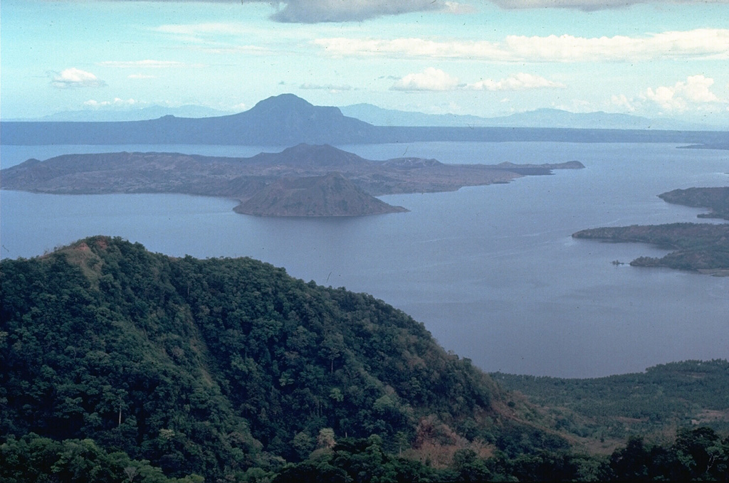 Taal Taal
Luzon Volcanic Arc
|
The Philippine Institute of Volcanology and Seismology (PHIVOLCS) reported eruptive activity at Taal during 23 November-2 December. The seismic network recorded 3-40 daily volcanic earthquakes along with periods of volcanic tremor lasting one minute long to days long. Daily gas-and-steam emissions with variable densities rose 600-1,800 m above the crater rim and drifted mainly SW, W, and NW. Sulfur dioxide emissions averaged 208 tonnes per day (t/d) on 27 November. One minor phreatomagmatic event occurred during 0948-0950 on 23 November and produced a grayish plume that rose 750 m above the crater rim and drifted SW. The Alert Level remained at 1 (on a scale of 0-5); PHIVOLCS reminded the public that the entire Taal Volcano Island (TVI) was a Permanent Danger Zone (PDZ) and recommended that the Main Crater and areas along the Daang Kastila fissure should remain prohibited. Pilots were warned to avoid flying over TVI.
Source: Philippine Institute of Volcanology and Seismology (PHIVOLCS)
|
Whakaari/White Island (New Zealand) | 26 November-2 December 2025 | Continuing ActivityCite this Report |
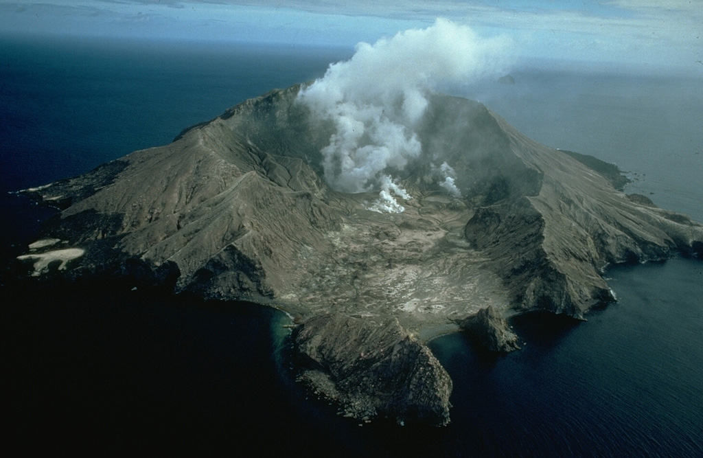 Whakaari/White Island Whakaari/White Island
Taupo Volcanic Arc
|
According to the Wellington Volcanic Ash Advisory Center (VAAC) low-level gas-and-steam emissions at Whakaari/White Island were detected during 24, 26, 28, and 30 November and sometimes contained ash. The plumes rose 900 m (3,000 ft) a.s.l. and drifted S and E based on pilot observations, satellite images, and webcam images.
Source: Wellington Volcanic Ash Advisory Center (VAAC)
|
Yasur (Vanuatu) | 26 November-2 December 2025 | Continuing ActivityCite this Report |
 Yasur Yasur
Vanuatu Volcanic Arc
|
The Vanuatu Meteorology and Geohazards Department (VMGD) reported that activity at Yasur continued at a level of “major unrest,” as defined by the Alert Level 2 status (on a scale of 0-5) during November. Activity was characterized by continuous explosions, voluminous and high emissions of gas, steam, and/or ash plumes, and nighttime incandescence. Sulfur dioxide gas emissions were at moderate-to-high levels and low-to-moderate power thermal anomalies were identified in satellite images. Seismic data confirmed continuing volcanic activity with explosions that were occasionally strong. The report warned that ejected material from explosions could fall in and around the crater. The public was reminded to not enter the restricted area within 600 m around the boundaries of the Permanent Exclusion Zone, defined by Danger Zone A on the hazard map.
Source: Vanuatu Meteorology and Geohazards Department (VMGD)
|
