Report on Sotara (Colombia) — 15 August-21 August 2012
Smithsonian Institution / US Geological Survey
Weekly Volcanic Activity Report, 15 August-21 August 2012
Managing Editor: Sally Sennert.
Please cite this report as:
Global Volcanism Program, 2012. Report on Sotara (Colombia) (Sennert, S, ed.). Weekly Volcanic Activity Report, 15 August-21 August 2012. Smithsonian Institution and US Geological Survey.
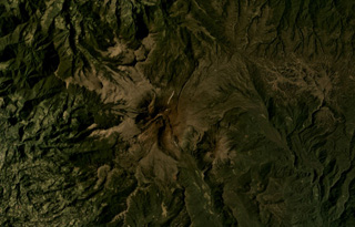
Sotara
Colombia
2.108°N, 76.592°W; summit elev. 4400 m
All times are local (unless otherwise noted)
According to INGEOMINAS, the Observatorio Vulcanológico and Sismológico de Popayán reported that during 8-14 August seismic activity at Sotará increased. The seismic network recorded 110 magnitude 0.2-1.6 events mainly located in an area 0.1-5 km NE of the peak, at depths of 2-6 km. Inflation was detected in the NE area, coincident with the zone of increased seismicity. Web-camera views showed no morphological changes. The Alert Level was raised to III (Yellow; "changes in the behavior of volcanic activity"), or the second lowest level.
Geological Summary. Volcán Sotará, also known as Cerro Azafatudo, is an andesitic-dacitic stratovolcano about 25 km SSE of Popayán city in southern Colombia, SW of Puracé volcano. Three calderas, 4.5, 2.5, and 1 km in diameter, give the summit an irregular profile. No historical eruptions are known, though there is current fumarolic and hot spring activity.