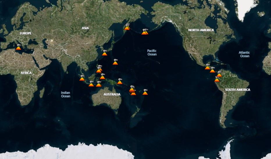
Activity for the week of 7 March-13 March 2007
The Weekly Volcanic Activity Report is a cooperative project between the Smithsonian's Global Volcanism Program and the US Geological Survey's Volcano Hazards Program. Updated by 2300 UTC every Wednesday, notices of volcanic activity posted on these pages are preliminary and subject to change as events are studied in more detail. This is not a comprehensive list of all of Earth's volcanoes erupting during the week, but rather a summary of activity at volcanoes that meet criteria discussed in detail in the "Criteria and Disclaimers" section. Carefully reviewed, detailed reports on various volcanoes are published monthly in the Bulletin of the Global Volcanism Network.
New Activity / Unrest
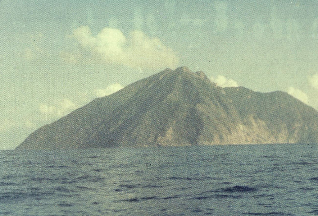
Batu Tara
| Komba Island (Indonesia)
| 7.791°S, 123.585°E
| Elevation 633 m
Based on satellite imagery, the Darwin VAAC reported that an ash cloud from Batu Tara reached an altitude of 4.3 km (14,000 ft) a.s.l. on 13 March and drifted N. The plume was identified on 14 March drifting NE.
Source: Darwin Volcanic Ash Advisory Centre (VAAC)
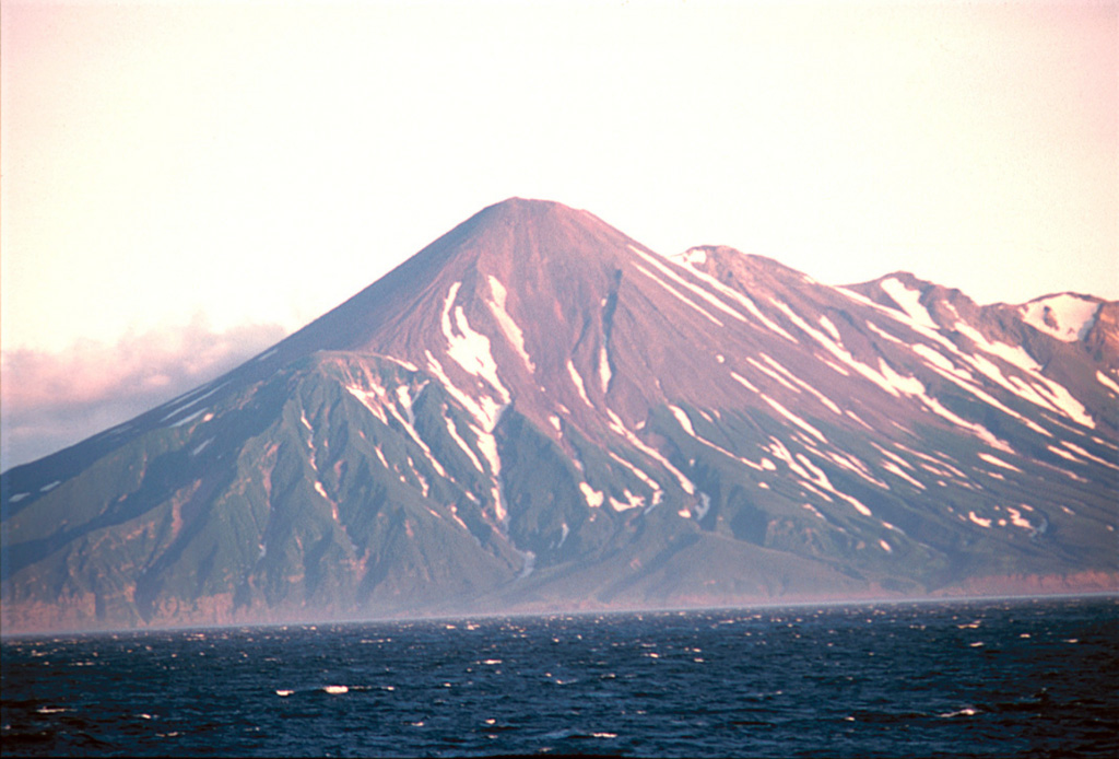
Chikurachki
| Paramushir Island (Russia)
| 50.324°N, 155.461°E
| Elevation 1781 m
During 11-12 March, a diffuse ash plume from Chikurachki was seen on satellite imagery drifting E. The plume rose to an estimated altitude of below 4.6 km (15,000 ft) a.s.l.
Source: US Geological Survey Alaska Volcano Observatory (AVO)
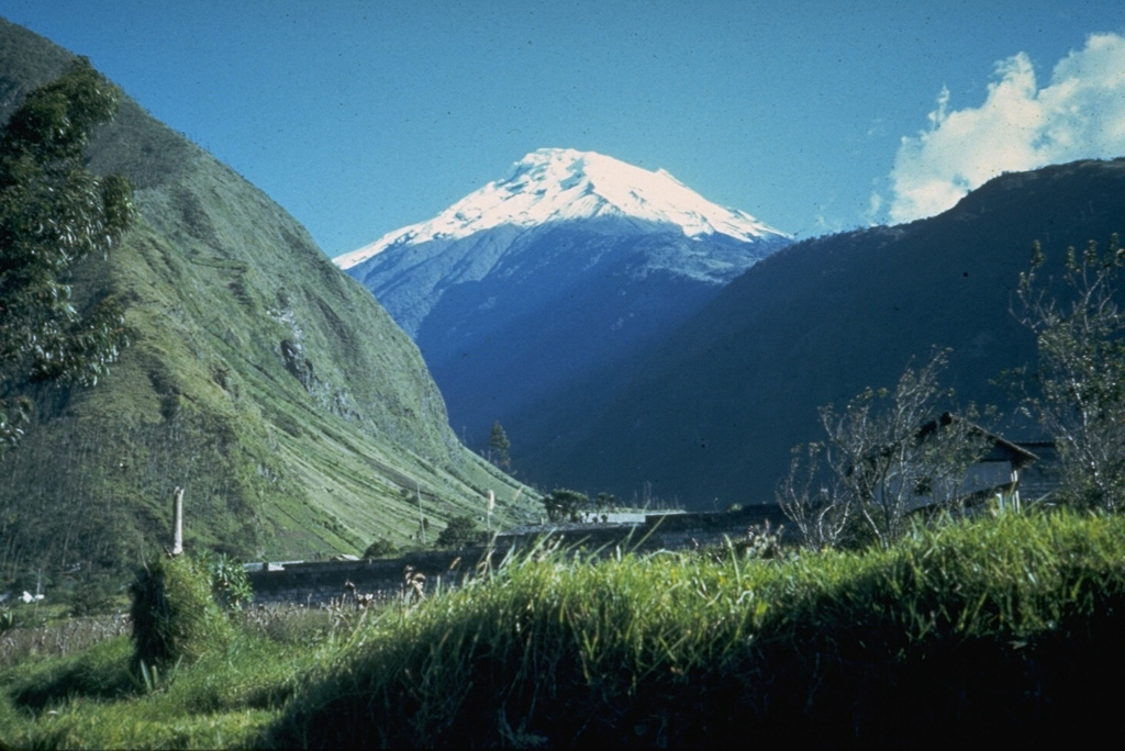
Tungurahua
| Ecuador
| 1.467°S, 78.442°W
| Elevation 5023 m
IG reported that during 7-13 March, explosions from Tungurahua were accompanied by noises that resembled "cannon shots." Ash plumes rose to altitudes of 5.5-9 km (18,000-30,000 ft) a.s.l. and drifted NW and W. Ashfall was reported from areas downwind during 7-8 and 10-13 March. Incandescent material was ejected and rolled 300-500 m down the flanks during 7-10 and 12 March.
Source: Instituto GeofÃsico-Escuela Politécnica Nacional (IG)
Ongoing Activity
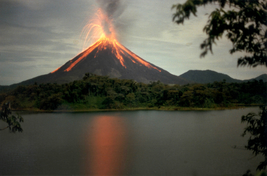
Arenal
| Costa Rica
| 10.463°N, 84.703°W
| Elevation 1670 m
In February, activity originating from Arenal's Crater C consisted of gas emissions, sporadic Strombolian eruptions, lava flows traveling N, and occasional avalanches from lava-flow fronts. Blocks from the lava-flow fronts traveled N, NE, and NW, periodically reaching vegetation where they started small fires. Volcanic activity was at relatively low levels, however, with few eruptions occurring and a small amount of pyroclastic material ejected. Eruptions produced ash plumes that rose about 2.2 km (7,100 ft) a.s.l. Ash and acid rain fell on the NE and SE flanks. Small avalanches of volcanic material traveled down several ravines. Crater D showed only fumarolic activity.
Source: Observatorio Vulcanologico y Sismologico de Costa Rica-Universidad Nacional (OVSICORI-UNA)
Bagana
| Bougainville (Papua New Guinea)
| 6.137°S, 155.196°E
| Elevation 1855 m
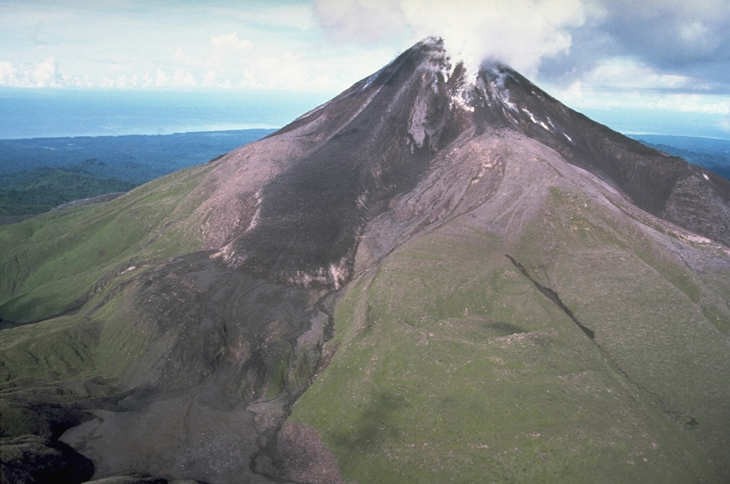
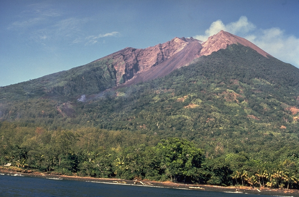
RVO reported that white vapor emissions from Bagana continued during 10 January-9 March. Emissions were occasionally forceful, and on 3 March were accompanied by an ash cloud that drifted E. Summit incandescence was visible on 7 and 8 March. Based on satellite imagery, the Darwin VAAC reported that a diffuse plume rose to an altitude of 2.4 km (8,000 ft) a.s.l. and drifted WSW on 10 March.
Sources: Rabaul Volcano Observatory (RVO), Darwin Volcanic Ash Advisory Centre (VAAC)
Fuego
| Guatemala
| 14.473°N, 90.88°W
| Elevation 3763 m
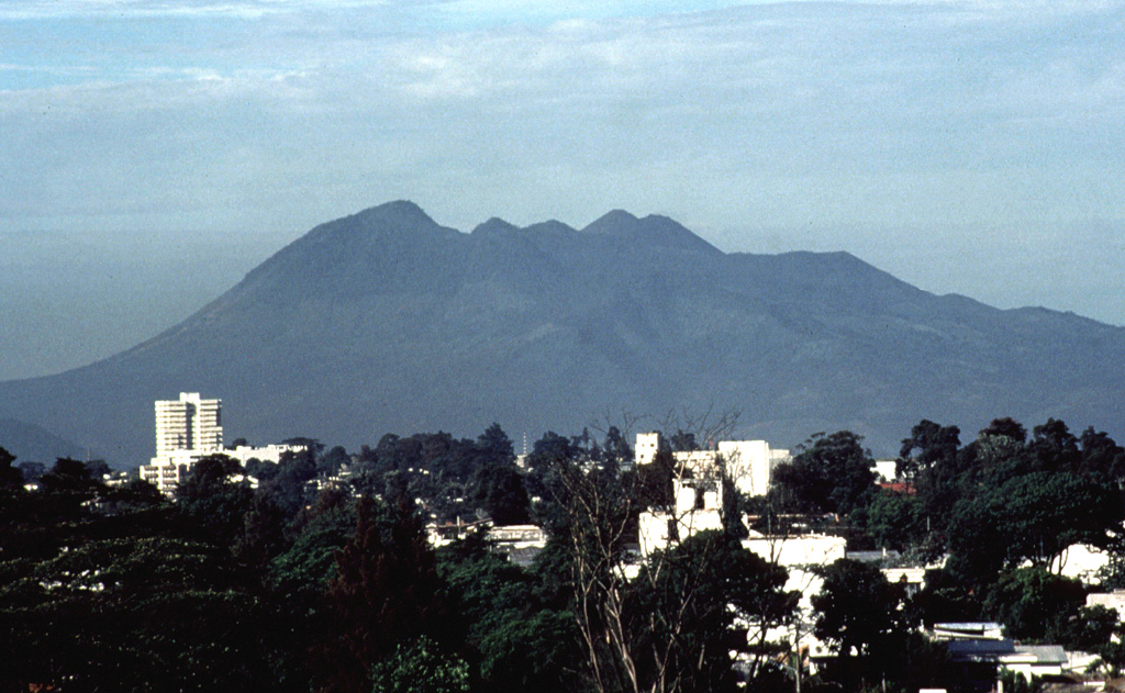
INSIVUMEH reported on 9 and 13 March that explosions from Fuego produced ash plumes that rose to altitudes of 4-4.2 km (13,000-13,800 ft) a.s.l. and drifted SE. Rumbling noises were heard from surrounding villages. Lava flows extended ~100-150 m W toward the Taniluyá River valley and avalanches occurred from the lava-flow fronts. On 12 March, incandescent material was ejected about 15-20 m above the central crater.
Source: Instituto Nacional de Sismologia, Vulcanologia, Meteorologia, e Hidrologia (INSIVUMEH)
Kilauea
| Hawaiian Islands (USA)
| 19.421°N, 155.287°W
| Elevation 1222 m
During 7-13 March, lava from Kilauea continued to flow across lava deltas into the ocean at the East Lae'apuki and Kamokuna entries. On 10 March, lava no longer entered the ocean at East Ka'ili'ili and likely branched off W towards the Royal Gardens subdivision. Steam plumes at East Ka'ili'ili possibly from water washing onto hot rocks, were visible on subsequent days. Incandescence was intermittently visible from several breakouts on the pali and from several vents in Pu'u 'O'o's crater. Tremor at Kilauea's summit continued at low levels.
Source: US Geological Survey Hawaiian Volcano Observatory (HVO)
Langila
| New Britain (Papua New Guinea)
| 5.525°S, 148.42°E
| Elevation 1330 m
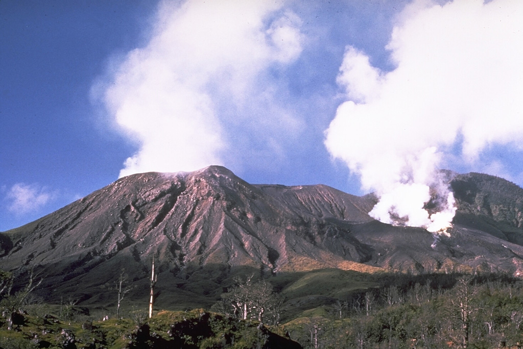
RVO reported that emission of ash clouds from Langila's Crater 2 continued during 23 February-9 March. Incandescence was visible on 24 and 25 February and 6 and 8 March. Plumes rose to less that 2.3 km (7,500 ft) a.s.l. and drifted SE during 7-9 March.
Source: Rabaul Volcano Observatory (RVO)
Lascar
| Chile
| 23.37°S, 67.73°W
| Elevation 5592 m
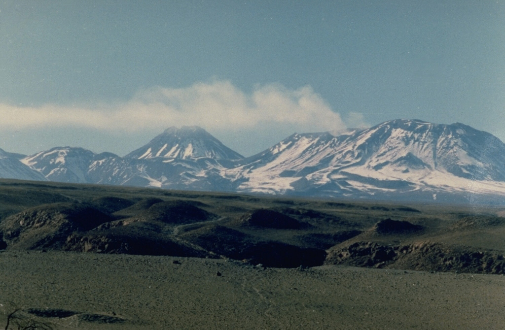
The Buenos Aires VAAC reported that on 11 March an ash cloud from Lascar rose to 5.5-6.7 km (18,000-22,000 ft) a.s.l. and drifted E.
Source: Buenos Aires Volcanic Ash Advisory Center (VAAC)
Manam
| Papua New Guinea
| 4.08°S, 145.037°E
| Elevation 1807 m
RVO reported that Manam's Main Crater emitted gray ash plumes on 22 February and during 3-11 March. The plumes rose to altitudes of 2.3-2.8 km (7,500-9,200 ft) a.s.l. and drifted SE. Incandescence was visible on 22 February and during 2-5 and 9-11 March. Vapor clouds and occasional diffuse ash clouds were emitted from South Crater during 3-11 March.
Source: Rabaul Volcano Observatory (RVO)
Pacaya
| Guatemala
| 14.382°N, 90.601°W
| Elevation 2569 m
INSIVUMEH reported that on 9 and 12 March, fumurolic activity from Pacaya's MacKenney Cone produced plumes that rose to 3 km (9,800 ft) a.s.l. and drifted S and SW. Incandescence was reflected in the plumes on 9 March. A lava flow from a crater on the NE flank was visible on 12 and 13 March to distances of 300 m.
Source: Instituto Nacional de Sismologia, Vulcanologia, Meteorologia, e Hidrologia (INSIVUMEH)
Rabaul
| New Britain (Papua New Guinea)
| 4.271°S, 152.203°E
| Elevation 688 m
RVO reported that during 6-13 March, Rabaul caldera's Tavurvur cone emitted ash plumes that rose to 0.9-2.7 km (3,000-8,900 ft) a.s.l. and drifted S, SE, W, and E. Loud roaring noises occasionally accompanied emissions and ashfall was reported from surrounding villages. Multiple explosions occurred. Large explosions produced shockwaves that rattled windows in Rabaul town and surrounding areas. The flanks were showered with incandescent lava fragments during 7-13 March.
Source: Rabaul Volcano Observatory (RVO)
Sangay
| Ecuador
| 2.005°S, 78.341°W
| Elevation 5286 m
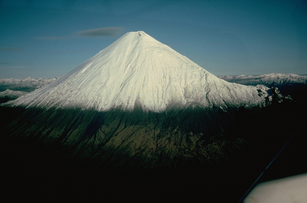
Based on information from IG, pilot reports, and satellite imagery, the Washington VAAC reported that eruptions from Sangay during 12-13 March produced ash plumes that rose to 7 km (23,000 ft) a.s.l. and drifted W. A hotspot was seen on satellite imagery.
Source: Washington Volcanic Ash Advisory Center (VAAC)
Soufriere Hills
| Montserrat
| 16.72°N, 62.18°W
| Elevation 915 m
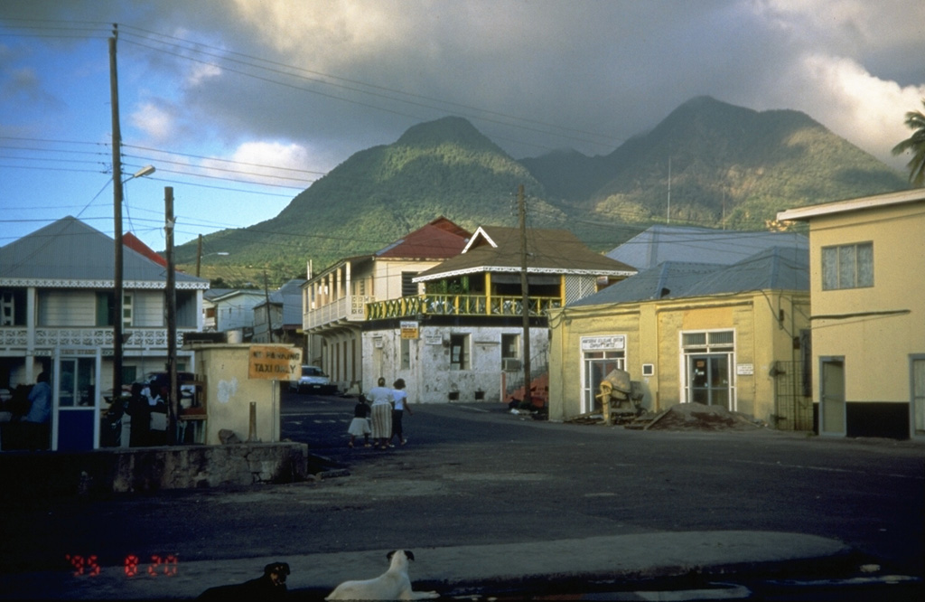
During 2-9 March, lava-dome growth at Soufrière Hills continued and was concentrated on an E-facing lobe topped with blocky, spine-like protrusions. Rockfalls affected the E and NE flanks. Pyroclastic flows traveled 2 km and were confined E in the Tar River Valley. Heightened pyroclastic activity on 7 March resulted in an ash plume that rose to an estimated 2.4 km (8,000 ft) a.s.l. and drifted W. On 11 March, a pyroclastic flow traveled down the NE flank into White's Ghaut. On 12 March, a large, blocky spine leaned steeply towards the NE.
Based on satellite imagery, San Juan Weather Forecast Agency (WFO), and pilot reports, the Washington VAAC reported light ash and haze over several Caribbean islands during 7-10 March. Based on news articles, the presence of ash and dust from the Sahara Desert prompted some airlines in Puerto Rico to delay and cancel flights on 10 March.
Sources: Montserrat Volcano Observatory (MVO), Washington Volcanic Ash Advisory Center (VAAC), Associated Press
St. Helens
| United States
| 46.2°N, 122.18°W
| Elevation 2549 m
Data from deformation-monitoring instruments showed that during 7-13 March, the lava dome at Mount St. Helens continued to grow. Seismicity continued at low levels, punctuated by M 1.5-2.5 and occasionally larger earthquakes. Inclement weather occasionally inhibited visual observations.
Source: US Geological Survey Cascades Volcano Observatory (CVO)
Ubinas
| Peru
| 16.355°S, 70.903°W
| Elevation 5672 m
Based on pilot reports, the Buenos Aires VAAC reported continuous emissions from Ubinas on 11 March. Ash plumes rose to 5.5-6.1 km (18,000-20,000 ft) a.s.l. and drifted N.
Source: Buenos Aires Volcanic Ash Advisory Center (VAAC)
Criteria & Disclaimers
Criteria
The Weekly Volcanic Activity Report does not necessarily include all volcanic activity that occurred on Earth during the week. More than a dozen volcanoes globally have displayed more-or-less continuous eruptive activity for decades or longer, and such routine activity is typically not reported here. Moreover, Earth's sea-floor volcanism is seldom reported even though in theory it represents the single most prolific source of erupted material. The Weekly Volcanic Activity Report summarizes volcanic activity that meets one or more of the following criteria:
- A volcano observatory raises or lowers the alert level at the volcano.
- A volcanic ash advisory has been released by a volcanic ash advisory center (VAAC) stating that an ash cloud has been produced from the volcano.
- A verifiable news report of new activity or a change in activity at the volcano has been issued.
- Observers have reported a significant change in volcanic activity. Such activity can include, but is not restricted to, pyroclastic flows, lahars, lava flows, dome collapse, or increased unrest.
Volcanoes are included in the "New Activity/Unrest" section of the Weekly Volcanic Activity Report if the activity occurs after at least 3 months of quiescence. Once a volcano is included in the "New Activity/Unrest" section, updates will remain in that section unless the activity continues for more than 1 month without escalating, after which time updates will be listed in the "Continuing Activity" section. Volcanoes are also included in the "New Activity/Unrest" section if the volcano is undergoing a period of relatively high unrest, or increasing unrest. This is commonly equal to Alert Level Orange on a scale of Green, Yellow, Orange, Red, where Red is the highest alert. Or alert level 3 on a scale of 1-4 or 1-5.
It is important to note that volcanic activity meeting one or more of these criteria may occur during the week, but may not be included in the Weekly Volcanic Activity Report because we did not receive a report.
Disclaimers
1. The Weekly Volcanic Activity Report is intended to provide timely information about global volcanism on a weekly basis. Consequently, the report is generated rapidly by summarizing volcanic reports from various sources, with little time for fact checking. The accuracy of the Weekly Volcanic Activity Report is dependent upon the quality of the volcanic activity reports we receive. Reports published in the Bulletin of the Global Volcanism Network are monthly, and more carefully reviewed, although all of the volcanoes discussed in the Weekly Volcanic Activity Report are not necessarily reported in the Bulletin. Because of our emphasis on rapid reporting on the web we have avoided diacritical marks. Reports are updated on the Weekly Volcanic Activity Report web page as they are received, therefore information may be included regarding events that occurred before the current report period.
2. Rapidly developing events lead to coverage that is often fragmentary. Volcanoes, their eruptions, and their plumes and associated atmospheric effects are complex phenomena that may require months to years of data analysis in order to create a comprehensive summary and interpretation of events.
3. Preliminary accounts sometimes contain exaggerations and "false alarms," and accordingly, this report may include some events ultimately found to be erroneous or misleading.
4. Many news agencies do not archive the articles they post on the Internet, and therefore the links to some sources may not be active. To obtain information about the cited articles that are no longer available on the Internet contact the source.
5. USGS Disclaimer Statement for this Website:
Information presented on this website is considered public information and may be distributed or copied. Use of appropriate byline/photo/image credit is requested. We strongly recommend that USGS data be acquired directly from a USGS server and not through other sources that may change the data in some way. While USGS makes every effort to provide accurate and complete information, various data such as names, telephone numbers, etc. may change prior to updating. USGS welcomes suggestions on how to improve our home page and correct errors. USGS provides no warranty, expressed or implied, as to the accuracy, reliability or completeness of furnished data.
Some of the documents on this server may contain live references (or pointers) to information created and maintained by other organizations. Please note that USGS does not control and cannot guarantee the relevance, timeliness, or accuracy of these outside materials.
For site security purposes and to ensure that this service remains available to all users, this government computer system employs software programs to monitor network traffic to identify unauthorized attempts to upload or change information, or otherwise cause damage. Unauthorized attempts to upload information or change information on this website are strictly prohibited and may be punishable under the Computer Fraud and Abuse Act of 1986 and the National Information Infrastructure Protection Act. Information may also be used for authorized law enforcement investigations. (Last modified September 21, 1999.)
U.S. Department of the Interior, U.S. Geological Survey, Reston, VA, USA
URL https://volcano.si.edu/reports_weekly.cfm
Contact: USGS Web Team
USGS Privacy Statement
RSS and CAP Feeds
An RSS (Really Simple Syndication) feed for the Weekly Volcanic Activity Report first made available on 5 March 2008 can be utilized with the aid of various free downloadable readers. The report content of the news feed is identical to the Weekly Volcanic Activity Report minus some features including the header information (latitude and longitude and summit elevation), the Geologic Summary, and a link to the volcano's page from the Global Volcanism Program. Each volcano report includes a link from the volcano's name back to the more complete information in the Weekly Volcanic Activity Report on the Smithsonian website. On 12 March 2009, GeoRSS tags were added so that the latitude and longitude for each volcano could be included with the feed.
At the end of each individual report is a list of the sources used. We would like to emphasize that the World Organization of Volcano Observatories (WOVO) website (http://www.wovo.org/) lists the regional volcano observatories that have the most authoritative data for many of these events.
CAP (Common Alerting Protocol) feeds are XML files specifically formatted for disaster management.
Google Earth Placemarks
A Google Earth network link for the Weekly Volcanic Activity Report was first made available on 1 April 2009. This file can be loaded into the free Google Earth software, and in turn will load placemarks for volcanoes in the current weekly report. Placemark balloons include the volcano name, report date, report text, sources, and links back to the GVP volcano page for that volcano and to the complete Weekly Report for that week.