Aira (Japan) | 12 May-18 May 2021 | Continuing Activity Cite this Report Cite this Report |
 Aira Aira
Ryukyu Volcanic Arc
|
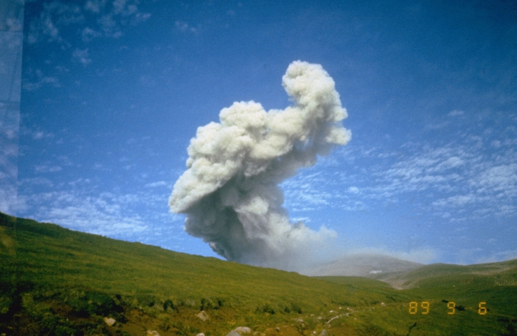
JMA reported that during 10-17 May nightly incandescence from Minamidake Crater (at Aira Caldera’s Sakurajima volcano) was visible. Very small eruptive events were occasionally recorded. The Alert Level remained at 3 (on a 5-level scale), and residents were warned to stay 2 km away from the crater.
Source: Japan Meteorological Agency (JMA)
|
Dukono (Indonesia) | 12 May-18 May 2021 | Continuing ActivityCite this Report |
 Dukono Dukono
Halmahera Volcanic Arc
|
Based on satellite and wind model data, the Darwin VAAC reported that during 11-17 May ash plumes from Dukono rose to 2.1-2.4 km (7,000-8,000 ft) a.s.l. and drifted in multiple directions. The Alert Level remained at 2 (on a scale of 1-4), and the public was warned to remain outside of the 2-km exclusion zone.
Sources: Darwin Volcanic Ash Advisory Centre (VAAC), Pusat Vulkanologi dan Mitigasi Bencana Geologi (PVMBG, also known as CVGHM)
|
Ebeko (Russia) | 12 May-18 May 2021 | Continuing ActivityCite this Report |
 Ebeko Ebeko
Kuril Volcanic Arc
|
Volcanologists in Severo-Kurilsk (Paramushir Island), about 7 km E of Ebeko, observed explosions during 6, 9, and 12-13 May that sent ash plumes to 3.5 km (11,500 ft) a.s.l. and drifted N, NE, E, and SE. The Aviation Color Code remained at Orange (the second highest level on a four-color scale).
Source: Kamchatkan Volcanic Eruption Response Team (KVERT)
|
Fagradalsfjall (Iceland) | 12 May-18 May 2021 | Continuing ActivityCite this Report |
 Fagradalsfjall Fagradalsfjall
Iceland Neovolcanic Rift Volcanic Province
|
IMO reported that the fissure eruption in the W part of the Krýsuvík-Trölladyngja volcanic system, close to Fagradalsfjall on the Reykjanes Peninsula, continued during 11-18 May. The lava effusion rate was 10.8 meters per second, lower than the 12.9 meters per second rate recorded the week before. Pulsating lava fountains from crater 5, about 7-8 episodes per hour, sent material higher than 300 m. Very high fountains were visible in Reykjavik. Lava continued to flow into the Meradalir Valley; on 17 May video showed sections of the cone’s rim collapsing into the crater. By 18 May the area of the flow field had grown to 2.06 square kilometers, the total volume erupted was 38 million cubic meters. Authorities directed the construction of earthen barriers to prevent lava flowing into the Nátthaga valley and possibly overtaking Highway 427 (Suðurstrandarvegur) to the S, protecting the road and buried fiberoptic cables. The Aviation Color Code remained at Orange due to the lack of ash and tephra emissions. Authorities warned of increased gas emissions hazards.
Sources: Icelandic Meteorological Office (IMO), Institute of Earth Sciences, Icelandic National Broadcasting Service (RUV), National Commissioner of the Icelandic Police (NCIP) Department of Civil Protection and Emergency Management
|
Ibu (Indonesia) | 12 May-18 May 2021 | Continuing ActivityCite this Report |
 Ibu Ibu
Halmahera Volcanic Arc
|
PVMBG reported that during 11-12 and 15-17 gray-and-white ash plumes from Ibu rose 200-800 m above the summit and drifted mainly N, W, and S. Inclement weather sometimes prevented visual observations, especially during 13-14 May. The Alert Level remained at 2 (on a scale of 1-4), and the public was warned to stay at least 2 km away from the active crater and 3.5 km away on the N side.
Source: Pusat Vulkanologi dan Mitigasi Bencana Geologi (PVMBG, also known as CVGHM)
|
Karymsky (Russia) | 12 May-18 May 2021 | Continuing ActivityCite this Report |
 Karymsky Karymsky
Eastern Kamchatka Volcanic Arc
|
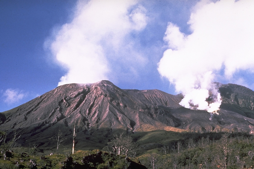
KVERT reported that a weak thermal anomaly over Karymsky was visible in satellite images on 7 and 9 May; weather clouds prevented observations during 8-14 May. The Aviation Color Code remained at Orange (the second highest level on a four-color scale).
Source: Kamchatkan Volcanic Eruption Response Team (KVERT)
|
Kilauea (United States) | 12 May-18 May 2021 | Continuing ActivityCite this Report |
 Kilauea Kilauea
Hawaiian-Emperor Hotspot Volcano Group
|
HVO reported that the W vent on the inner NW wall of Kilauea's Halema`uma`u Crater continued to supply the 229-m-deep lava lake at a low rate through a submerged inlet during 12-18 May. Lava circulated in two small pools in the W part. The solidified portion comprised 99 percent of the total area, based on thermal measurements acquired on 13 May. The sulfur dioxide emission rate was 115-225 tons per day during 12-14 May, continuing a downward trend that began in mid-April. The Aviation Color Code remained at Orange and the Volcano Alert Level remained at Watch.
Source: US Geological Survey Hawaiian Volcano Observatory (HVO)
|
Langila (Papua New Guinea) | 12 May-18 May 2021 | Continuing ActivityCite this Report |
 Langila Langila
Bismarck Volcanic Arc
|
Based on analyses of satellite imagery and wind model data, the Darwin VAAC reported that on 15 May ash plumes from Langila rose as high as 3 km (5,000 ft) a.s.l. A lower portion of the cloud at 2.4 km (8,000 ft) a.s.l. drifted NW at the upper portion drifted S. On 16 May an ash plume rose to 2.1 km
Source: Darwin Volcanic Ash Advisory Centre (VAAC)
|
Lewotolok (Indonesia) | 12 May-18 May 2021 | Continuing ActivityCite this Report |
 Lewotolok Lewotolok
Sunda Volcanic Arc
|
PVMBG reported that white-and-gray plumes from Lewotolok rose as high as 600 m and drifted W and NW during 12-17 May. Incandescent material was ejected 100-300 m above the summit during 14-16 May and 300 m SE on 15 May. Rumbling and thumping sounds were heard during 14-17 May. The Alert Level remained at 3 (on a scale of 1-4) and the public was warned to stay 3 km away from the summit crater.
Source: Pusat Vulkanologi dan Mitigasi Bencana Geologi (PVMBG, also known as CVGHM)
|
Merapi (Indonesia) | 12 May-18 May 2021 | Continuing ActivityCite this Report |
 Merapi Merapi
Sunda Volcanic Arc
|
BPPTKG reported that the lava dome just below Merapi’s SW rim and the lava dome in the summit crater both continued to extrude lava during 7-13 May. The SW rim lava-dome volume was an estimated 1.16 million cubic meters on 2 May, with a growth rate of about 11,500 cubic meters per day, and continued to shed material down the flank. A total of four pyroclastic flows traveled a maximum of 1.5 km down the SW flank. Incandescent avalanches, recorded 49 times, traveled as far as 1.8 km down the SW flank and twice went 700 m SE. The summit lava dome grew 2 m taller during 6-16 May. Electronic Distance Measurement (EDM) data showed a distance shortening between points in the NW at a rate of 0.7 cm per day, indicating minor inflation. The Alert Level remained at 3 (on a scale of 1-4), and the public was warned to stay 5 km away from the summit.
Source: Balai Penyelidikan dan Pengembangan Teknologi Kebencanaan Geologi (BPPTKG)
|
Pacaya (Guatemala) | 12 May-18 May 2021 | Continuing ActivityCite this Report |
 Pacaya Pacaya
Central America Volcanic Arc
|
INSIVUMEH reported that during 12-18 May the cone on Pacaya’s N flank (near Cerro Chino) continued to be active, feeding lava flows and occasionally ejecting incandescent material as high as 40 m. The lava flow slowly advanced mainly W, though remained about 2.4 km long. The flow also spread laterally and shed incandescent blocks, especially along the flow margins and where the flow travels down steep slopes. Gas-and-ash plumes visible almost daily rose as high as 900 m above the summit and drifted W, SW, and S. Ashfall was reported in El Rodeo (4 km WSW) during 15-16 May and in El Patrocinio (about 5 km W) during 15-17 May.
Source: Instituto Nacional de Sismologia, Vulcanologia, Meteorologia, e Hidrologia (INSIVUMEH)
|
Piton de la Fournaise (France) | 12 May-18 May 2021 | Continuing ActivityCite this Report |
 Piton de la Fournaise Piton de la Fournaise
Reunion Hotspot Volcano Group
|
OVPF reported that the eruption at Piton de la Fournaise continued during 12-18 May at both craters, though at low levels. Lava flows mainly traveled though lava tubes and emerged from the end of the flow field, advancing E to 920 m elevation by 13 May. Minor inflation of the summit area was recorded. Dense gas plumes rose from both craters. The Alert Level remained at 2-2.
Source: Observatoire Volcanologique du Piton de la Fournaise (OVPF)
|
Sabancaya (Peru) | 12 May-18 May 2021 | Continuing ActivityCite this Report |
 Sabancaya Sabancaya
Central Andean Volcanic Arc
|
Instituto Geofísico del Perú (IGP) reported a daily average of 37 explosions at Sabancaya during 10-16 May. Gas-and-ash plumes rose as high as 3.5 km above the summit and drifted S, SE, E, and NE. Ashfall was reported in the district of Chivay (NE), in the area of Achacota. Eight thermal anomalies originating from the lava dome in the summit crater were identified in satellite data. Minor inflation continued to be detected near Hualca Hualca (4 km N). The Alert Level remained at Orange (the second highest level on a four-color scale) and the public were warned to stay outside of a 12-km radius.
Source: Instituto Geofísico del Perú (IGP)
|
Sangay (Ecuador) | 12 May-18 May 2021 | Continuing ActivityCite this Report |
 Sangay Sangay
Northern Andean Volcanic Arc
|
IG reported a high level of activity at Sangay during 12-18 May. Weather clouds and rain often prevented visual and webcam observations of the volcano; daily lahars were detected by the seismic network. Ash plumes rose 900-1,200 m and drifted W during 14-15 May. Several dense ash emissions were identified in satellite images on 16 May. According to the Washington VAAC ash plumes rose as high as 12.2 km (40,000 ft) a.s.l. and drifted N; part of the ash plume drifted WSW at 6.4 km (21,000 ft) a.s.l. Minor ashfall was reported in the local community of Ishupamba (Province of Chimborazo), near the volcano. Ash plumes rose 1.2-1.5 km above the volcano and drifted WSW and SW during 17-18 May.
Source: Instituto Geofísico-Escuela Politécnica Nacional (IG-EPN)
|
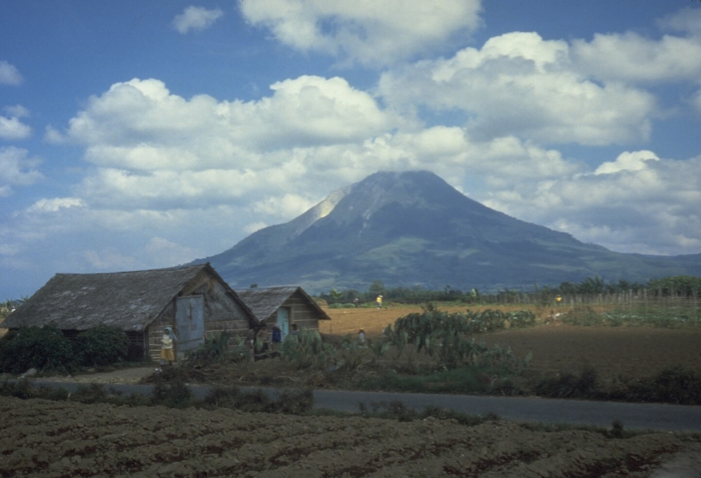
Santa Maria (Guatemala) | 12 May-18 May 2021 | Continuing ActivityCite this Report |
 Santa Maria Santa Maria
Central America Volcanic Arc
|
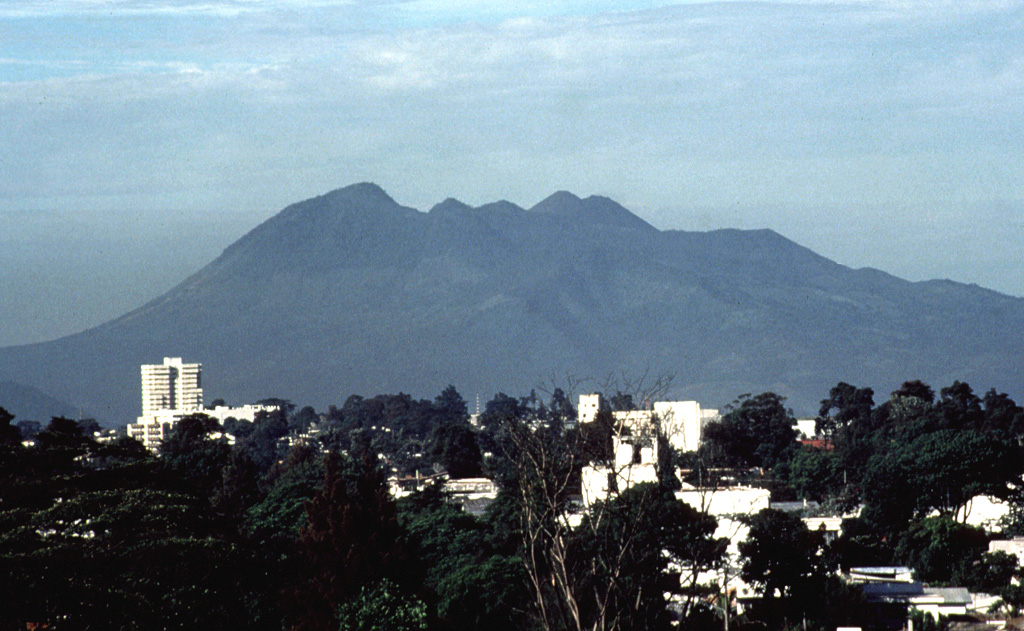
INSIVUMEH reported that on 15 May lahars descended Santa María's Cabello de Ángel (a tributary of Nimá I) drainage, carrying tree trunks, branches, and blocks 1-3 m in diameter. The lahars reached the El Faro estate. The next day lahars descended the Cabello de Ángel and Nimá I drainages carrying blocks up to 1 m in diameter. The lahars were 25 m wide and 1 m deep, and had a sulfur odor.
Source: Instituto Nacional de Sismologia, Vulcanologia, Meteorologia, e Hidrologia (INSIVUMEH)
|
Semeru (Indonesia) | 12 May-18 May 2021 | Continuing ActivityCite this Report |
 Semeru Semeru
Sunda Volcanic Arc
|
PVMBG reported that Semeru continued to erupt during 12-18 May. Dense gray-and-white plumes rose 300-700 m above the summit and drifted SW and N during 13-15 and 17 May. Avalanches of material traveled as far as 200 m down the Kobokan drainage on 13 May. The Alert Level remained at 2 (on a scale of 1-4), with a general exclusion zone of 1 km and extensions to 5 km in the SSE sector.
Source: Pusat Vulkanologi dan Mitigasi Bencana Geologi (PVMBG, also known as CVGHM)
|
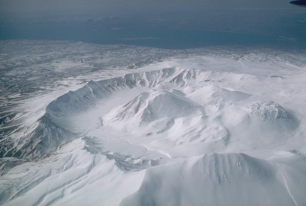
Semisopochnoi (United States) | 12 May-18 May 2021 | Continuing ActivityCite this Report |
 Semisopochnoi Semisopochnoi
Aleutian Ridge Volcanic Arc
|
AVO reported that weakly elevated surface temperatures and sulfur dioxide gas emissions at Semisopochnoi were identified in satellite images during 16-17 May. Several small explosions were recorded in infrasound data during 17-18 May; a small ash cloud was observed in a satellite image from 1521. Sulfur dioxide gas emissions and steaming from the active vents were identified in satellite data. The Aviation Color Code was raised to Orange and the Volcano Alert Level was raised to Watch on 18 May.
Source: US Geological Survey Alaska Volcano Observatory (AVO)
|
Sinabung (Indonesia) | 12 May-18 May 2021 | Continuing ActivityCite this Report |
 Sinabung Sinabung
Sunda Volcanic Arc
|
PVMBG reported that the eruption at Sinabung continued during 12-18 May. Weather conditions often prevented visual observations of the volcano; white fumarolic plumes were visible on 11, 13, and 15 May rising as high as 700 m above the summit and drifting in multiple directions. On 11 May an eruptive event produced a gray ash plume that rose up to 1 km. Avalanches of material traveled 1 km down the E and SE flanks on 12 May. On 13 May gray ash plumes rose 700-1,000 m above the summit, pyroclastic flows traveled 2.5 km down the E and SE flanks, and avalanches moved down the E and SE flanks as far as 1 km. On 14 May pyroclastic flows traveled as far as 4 km SE. The Alert Level remained at 3 (on a scale of 1-4), with a general exclusion zone of 3 km and extensions to 5 km in the SE sector and 4 km in the NE sector.
Source: Pusat Vulkanologi dan Mitigasi Bencana Geologi (PVMBG, also known as CVGHM)
|
Suwanosejima (Japan) | 12 May-18 May 2021 | Continuing ActivityCite this Report |
 Suwanosejima Suwanosejima
Ryukyu Volcanic Arc
|
JMA reported that six explosions at Suwanosejima's Ontake Crater produced eruption plumes that rose as high as 2 km above the crater rim during 7-14 May. Large volcanic bombs were ejected 400 m from the crater. The Alert Level remained at 2 and the public was warned to stay 1 km away from the crater.
Source: Japan Meteorological Agency (JMA)
|
Taal (Philippines) | 12 May-18 May 2021 | Continuing ActivityCite this Report |
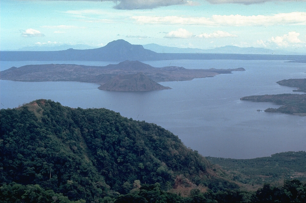 Taal Taal
Luzon Volcanic Arc
|
PHIVOLCS reported that unrest at Taal continued during 11-18 May. Low-level background tremor that had begun at 0905 on 8 April continued, along with 0-201 daily low-frequency events, 2-355 daily volcanic earthquakes, and 0-249 periods of volcanic tremor with variable durations (1-35 minutes); seismicity was the lowest during 13-14 May. Most of the earthquakes were very shallow (less than 5 km deep) beneath Taal Volcano Island (TVI) and the NE part of Taal Lake. Upwelling of hot volcanic fluids in the crater lake during most days was accompanied by steam plumes that were as tall as 300 m. On other days fumarolic plumes from vents in Main Crater rose 5-40 m. Almost-daily measurements of sulfur dioxide emissions were 2,214-3,758 tonnes/day, though a peak of 5,179 tonnes/day was recorded on 12 May and comparable to a 13 January 2020 measurement taken when the volcano was erupting. Tilt data showed a minor but abrupt inflation signal on 17 May; slow and steady inflation of the Taal region was recorded by multiple instruments after the January 2020 eruption. On 18 May PHIVOLCS noted the continuing state of elevated unrest, reminding the public that the Alert Level for Taal remained at 2 (on a scale of 0-5). PHIVOLCS strongly recommended no entry onto the island, and access to the Main Crater, Daang Kastila fissure (along the walking trail), and boating on Taal Lake was strictly prohibited.
Source: Philippine Institute of Volcanology and Seismology (PHIVOLCS)
|
Tengger Caldera (Indonesia) | 12 May-18 May 2021 | Continuing ActivityCite this Report |
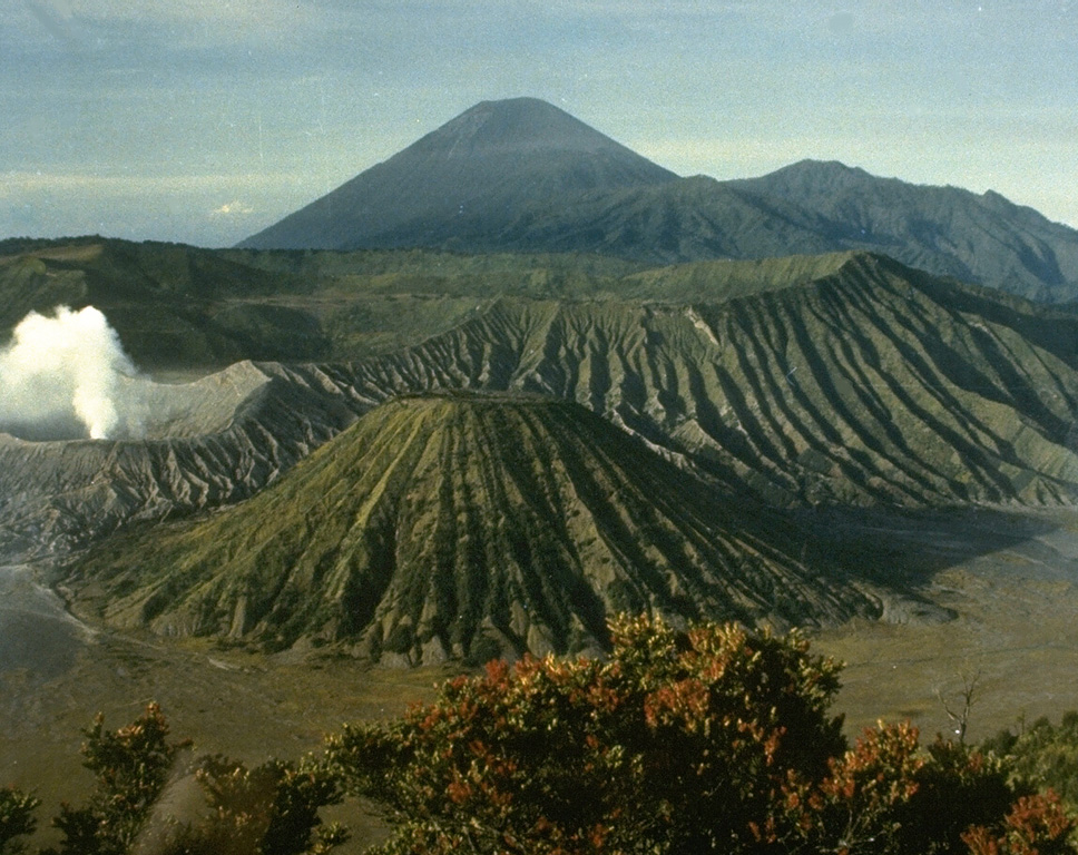 Tengger Caldera Tengger Caldera
Sunda Volcanic Arc
|
PVMBG reported that during 14-17 May white-and-gray plumes rose as high as 500 m above the summit of Tengger Caldera’s Bromo cone and drifted in multiple directions. A sulfur odor was noted at the observation post. The Alert Level remained at 2 (on a scale of 1-4), and visitors were warned to stay outside of a 1-km radius of the crater.
Source: Pusat Vulkanologi dan Mitigasi Bencana Geologi (PVMBG, also known as CVGHM)
|
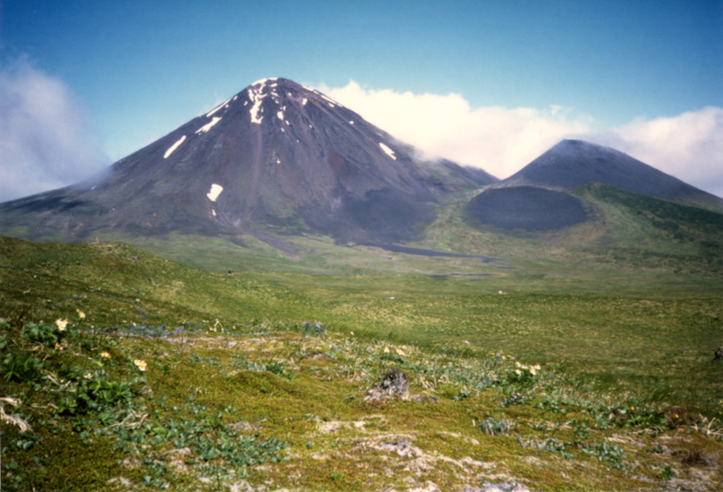
Ugashik-Peulik (United States) | 12 May-18 May 2021 | Continuing ActivityCite this Report |
 Ugashik-Peulik Ugashik-Peulik
Alaska Peninsula Volcanic Arc
|
On 12 May AVO changed the Aviation Color Code and Volcano Alert Level for Ugashik-Peulik to Green and Normal, respectively, reflecting that communication with seismic stations had been re-established, allowing for the location of earthquakes and detection of unrest.
Source: US Geological Survey Alaska Volcano Observatory (AVO)
|
Ukinrek Maars (United States) | 12 May-18 May 2021 | Continuing ActivityCite this Report |
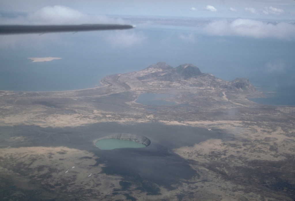 Ukinrek Maars Ukinrek Maars
Alaska Peninsula Volcanic Arc
|
On 12 May AVO changed the Aviation Color Code and Volcano Alert Level for Ukinrek-Maars to Green and Normal, respectively, reflecting that communication with seismic stations had been re-established, allowing for the location of earthquakes and detection of unrest.
Source: US Geological Survey Alaska Volcano Observatory (AVO)
|
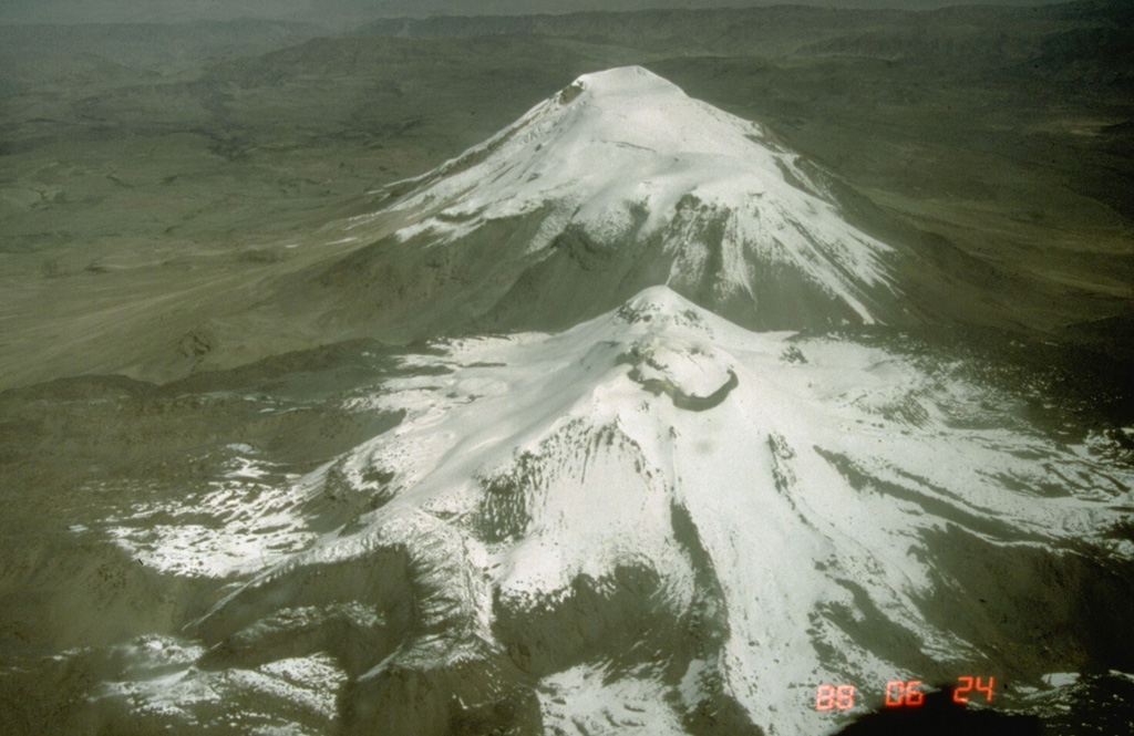
Veniaminof (United States) | 12 May-18 May 2021 | Continuing ActivityCite this Report |
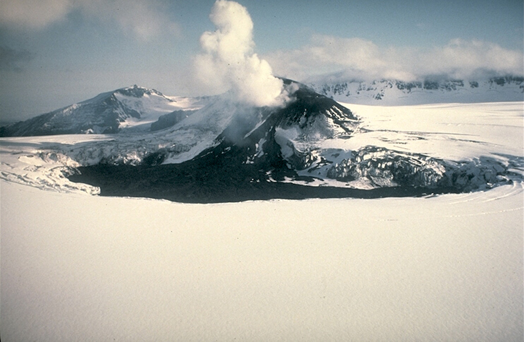 Veniaminof Veniaminof
Aleutian Ridge Volcanic Arc
|
No eruptive activity at Veniaminof had been recorded in seismic or infrasound data since early April. On 12 May AVO changed both the Aviation Color Code and Volcano Alert Level to Unassigned, noting that several seismic station outages impeded the ability to detect seismic unrest at the volcano. Monitoring was ongoing based on the utilization of the remaining seismic stations, the regional infrasound networks, the detection of lightning, and satellite image monitoring.
Source: US Geological Survey Alaska Volcano Observatory (AVO)
|

 Great Sitkin
 Sheveluch
 Stromboli