
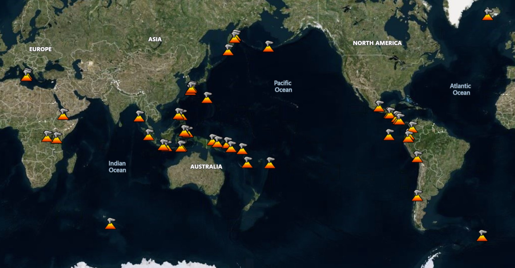
There are 33 volcanoes in the Daily Volcanic Activity Report (DVAR) for 25 August 2026, with 22 describing activity for continuing eruptions. The data shown is for the most recent date with available reports before today or the requested day. These data are the best available as of 28 Sep 2026, but may change as additional information is reviewed, such as from observatories that issue weekly reports. There are typically 40-50 continuing eruptions (map shows current eruptions, not the selected date), and about 20 of those will be actively erupting on any particular day. Data is currently available for dates starting on 1 Feb 2025.
Select Date:
| Name | Country | Volcanic Region | Last Known Activity |
|---|---|---|---|
| Aira | Japan | Ryukyu Volcanic Arc | 2017 Mar 25 - 2026 Mar 23 (continuing) |
| Ambae | Vanuatu | Vanuatu Volcanic Arc | 2025 Nov 24 - 2026 Mar 24 (continuing) |
| Dukono | Indonesia | Halmahera Volcanic Arc | 1933 Aug 13 - 2026 Mar 16 (continuing) |
| Fuego | Guatemala | Central America Volcanic Arc | 2002 Jan 4 - 2026 Mar 18 (continuing) |
| Great Sitkin | United States | Aleutian Ridge Volcanic Arc | 2021 May 25 - 2026 Mar 25 (continuing) |
| Ibu | Indonesia | Halmahera Volcanic Arc | 2008 Apr 5 - 2026 Mar 25 (continuing) |
| Kanlaon | Philippines | Negros-Sulu Volcanic Arc | 2024 Oct 19 - 2026 Mar 25 (continuing) |
| Karangetang | Indonesia | Sangihe Volcanic Arc | 2023 Feb 8 - 2023 Sep 5 |
| Krakatau | Indonesia | Sunda Volcanic Arc | 2021 May 25 - 2024 Feb 20 |
| Kīlauea | United States | Hawaiian-Emperor Hotspot Volcano Group | 2024 Dec 23 - 2026 Mar 25 (continuing) |
| Lewotobi | Indonesia | Sunda Volcanic Arc | 2026 Mar 3 - 2026 Mar 25 (continuing) |
| Lewotolok | Indonesia | Sunda Volcanic Arc | 2025 Jan 16 - 2026 Mar 25 (continuing) |
| Marapi | Indonesia | Sunda Volcanic Arc | 2023 Dec 3 - 2026 Mar 24 (continuing) |
| Mayon | Philippines | Eastern Philippine Volcanic Arc | 2026 Jan 6 - 2026 Mar 25 (continuing) |
| Merapi | Indonesia | Sunda Volcanic Arc | 2020 Dec 31 - 2026 Mar 25 (continuing) |
| Popocatépetl | Mexico | Trans-Mexican Volcanic Arc | 2005 Jan 9 - 2026 Mar 18 (continuing) |
| Poás | Costa Rica | Central America Volcanic Arc | 2025 Jan 5 - 2026 Mar 16 (continuing) |
| Puracé | Colombia | Northern Andean Volcanic Arc | 2025 Nov 23 - 2026 Mar 16 (continuing) |
| Reventador | Ecuador | Northern Andean Volcanic Arc | 2008 Jul 27 - 2026 Mar 25 (continuing) |
| Rincón de la Vieja | Costa Rica | Central America Volcanic Arc | 2021 Jun 28 - 2024 Oct 22 |
| Sabancaya | Peru | Central Andean Volcanic Arc | 2025 Sep 13 - 2026 Mar 25 (continuing) |
| Sangay | Ecuador | Northern Andean Volcanic Arc | 2019 Mar 26 - 2026 Mar 25 (continuing) |
| Santa María | Guatemala | Central America Volcanic Arc | 1922 Jun 22 - 2026 Mar 18 (continuing) |
| Semeru | Indonesia | Sunda Volcanic Arc | 2019 Feb 24 - 2026 Mar 25 (continuing) |
| Taal | Philippines | Luzon Volcanic Arc | 2024 Apr 12 - 2026 Mar 16 (continuing) |
| Name | Country | Volcanic Region | Last Known Activity |
|---|---|---|---|
| Bulusan | Philippines | Eastern Philippine Volcanic Arc | 2025 Apr 28 - 2025 Apr 29 |
| Kupreanof | United States | Aleutian Ridge Volcanic Arc | No Holocene Eruptions Known |
| Pacaya | Guatemala | Central America Volcanic Arc | 2015 Jun 7 ± 1 days - 2021 Aug 13 |
| Shishaldin | United States | Aleutian Ridge Volcanic Arc | 2023 Jul 11 ± 1 days - 2023 Nov 3 |
| Sinabung | Indonesia | Sunda Volcanic Arc | 2020 Aug 8 - 2021 Sep 23 |
| Sorikmarapi | Indonesia | Sunda Volcanic Arc | 1986 Jul 5 - 1986 Jul 14 |
| Turrialba | Costa Rica | Central America Volcanic Arc | 2022 Jul 17 - 2022 Jul 17 |
| Name | Country | Volcanic Region | Last Known Activity |
|---|---|---|---|
| Laguna del Maule | Chile | Southern Andean Volcanic Arc | 0050 BCE (in or before) |
Aira (Japan) | Continuing eruption
|
|
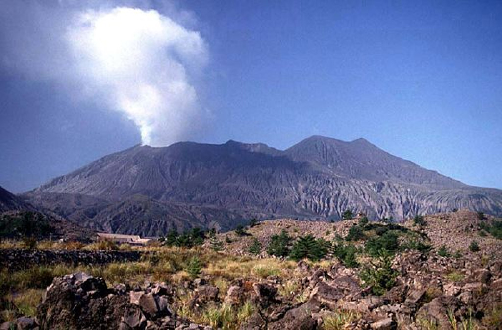 Aira AiraRyukyu Volcanic Arc |
The Japan Meteorological Agency (JMA) reported that the eruption continued at Aira between 24 August 2026 (local) and 25 August 2026 (local). There was 1 explosion reported, with plumes rising to a maximum of 400 m (1,312 ft) above the vent. The alert level remained at "Level 3 - Restriction on proximity to the volcano" (on a 5-level scale).
Observatory Alert Level: "Level 3 - Restriction on proximity to the volcano" (on a 5-level scale) Source: Japan Meteorological Agency (JMA) |
Ambae (Vanuatu) | Eruptive activity increased
|
|
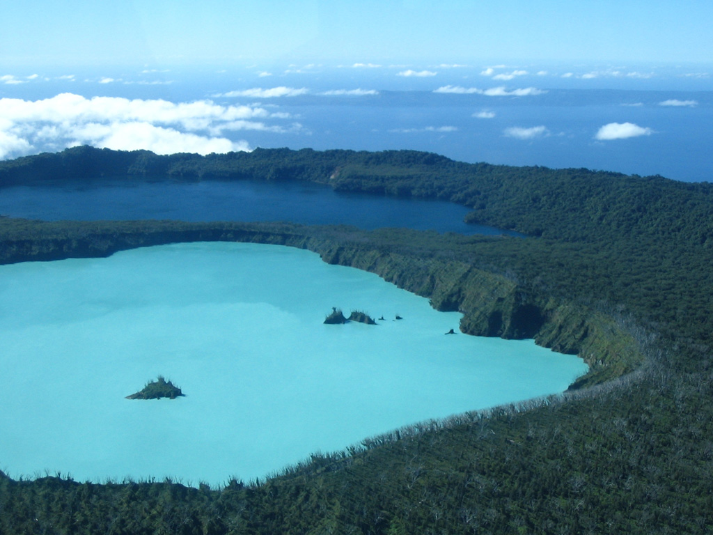 Ambae AmbaeVanuatu Volcanic Arc |
The Vanuatu Meteorology and Geo-Hazards Department-Vanuatu Geohazards Observatory (VMGD-VGO) and Volcanic Ash Advisory Center Global reported that eruptive activity increased at Ambae on 25 August 2026 (local). The Wellington VAAC reported a large eruption at Ambae at about 0940 on 25 August UTC. An ash plume rose to 16.5 km (54,000 ft) above sea level, about 15 km above the vent, and drifted E. Plume heights decreased to 15.2 km (50,000 ft) by 1053 and 12.8 km (42,000 ft) by 1313. The eruption was still ongoing at 1313, and a strong sulfur dioxide signal was reported beginning at the same time. The plume separated into two layers by 1722. The lower layer rose to 3.7 km (12,000 ft) and drifted NW, and the upper rose to 7.6 km (25,000 ft) and drifted NE. Both were still recorded at 2247. Ash was identifiable on satellite imagery in every advisory.
Observatory Alert Level: "3 - Minor Eruption" (on a 0–5 level scale) Source: Vanuatu Meteorology and Geo-Hazards Department-Vanuatu Geohazards Observatory (VMGD-VGO) |
Dukono (Indonesia) | Continuing eruption
|
|
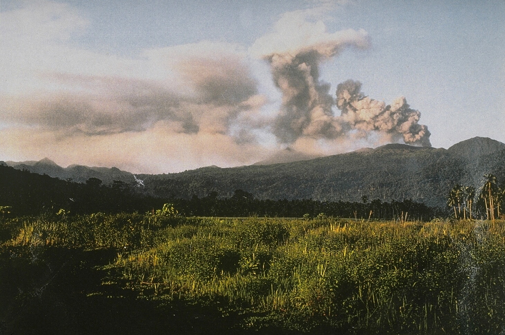 Dukono DukonoHalmahera Volcanic Arc |
The Center for Volcanology and Geological Hazard/Pusat Vulkanologi dan Mitigasi Bencana Geologi (CVGHM/PVMBG) reported that the eruption continued at Dukono on 25 August 2026 (local). Ash and vapor plume(s) rose to a maximum of 500 m (1,640 ft) above the vent. Ashfall covered the solar panel at the field monitoring station, draining the battery and taking the station offline, so no seismic data were available for the day. The alert level remained at "Level 2 - Alert" (on a 4-level scale).
Observatory Alert Level: "Level 2 - Alert" (on a 4-level scale) Source: Center for Volcanology and Geological Hazard/Pusat Vulkanologi dan Mitigasi Bencana Geologi (CVGHM/PVMBG) |
Fuego (Guatemala) | Continuing eruption
|
|
 Fuego FuegoCentral America Volcanic Arc |
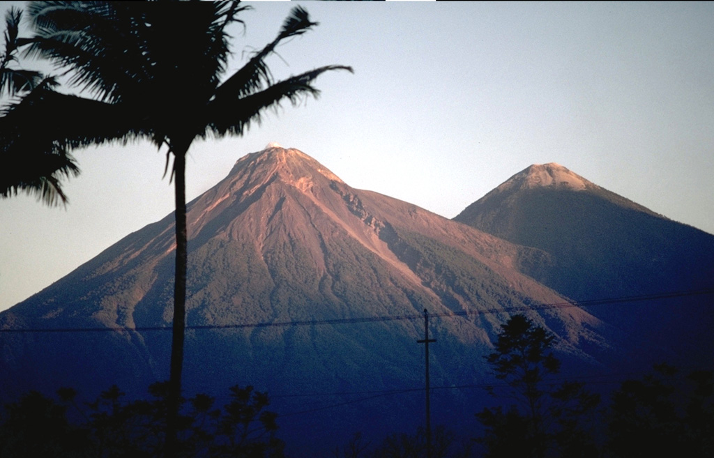
The Instituto Nacional de Sismología, Vulcanología, Meteorología e Hidrología (INSIVUMEH) reported that the eruption continued at Fuego between 24 August 2026 (local) and 25 August 2026 (local). Gas and/or vapor plume(s) rose to a maximum of 200 m (656 ft) above the vent. There were explosions reported, occurring at a rate of up to 10 per hour, with plumes rising to a maximum of 1,037 m (3,402 ft) above the vent. Incandescent material was ejected up to 300 m above the crater in pulses. There were incandescent rockfalls.
Observatory Alert Level: unavailable or not collected Source: Instituto Nacional de Sismología, Vulcanología, Meteorología e Hidrología (INSIVUMEH) |
Great Sitkin (United States) | Continuing eruption
|
|
 Great Sitkin Great SitkinAleutian Ridge Volcanic Arc |
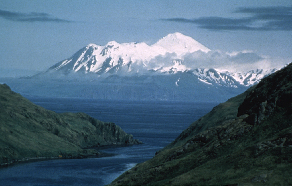
The United States Geological Survey - Alaska Volcano Observatory (USGS-AVO) reported that the eruption continued at Great Sitkin between 24 August 2026 (local) and 25 August 2026 (local). Lava continued to slowly erupt in the summit crater. The alert level remained at "Watch" (level 3 on a 4-level scale). The aviation alert level remained at "Orange" (level 3 on a 4-level scale). Activity also included: thermal anomaly(ies).
Observatory Alert Level: "Watch" (level 3 on a 4-level scale) Source: United States Geological Survey - Alaska Volcano Observatory (USGS-AVO) |
Ibu (Indonesia) | Continuing eruption
|
|
 Ibu IbuHalmahera Volcanic Arc |
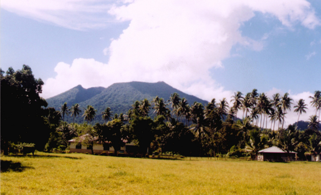
The Center for Volcanology and Geological Hazard/Pusat Vulkanologi dan Mitigasi Bencana Geologi (CVGHM/PVMBG) reported that the eruption continued at Ibu on 25 August 2026 (local). Gas and/or vapor plume(s) rose to a maximum of 200 m (656 ft) above the vent. There were 87 explosions reported, with plumes rising to a maximum of 1,000 m (3,281 ft) above the vent. The alert level remained at "Level 2 - Alert" (on a 4-level scale).
Observatory Alert Level: "Level 2 - Alert" (on a 4-level scale) Source: Center for Volcanology and Geological Hazard/Pusat Vulkanologi dan Mitigasi Bencana Geologi (CVGHM/PVMBG) |
Kanlaon (Philippines) | Continuing eruption
|
|
 Kanlaon KanlaonNegros-Sulu Volcanic Arc |
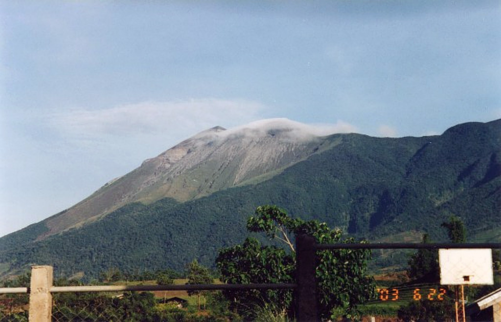
The Philippine Institute of Volcanology and Seismology (PHIVOLCS) reported that the eruption continued at Kanlaon on 25 August 2026 (local). Plume(s) rose to a maximum of 200 m (656 ft) above the vent. The alert level remained at "2 - Moderate Level of Volcanic Unrest" (on a 0–5 level scale).
Observatory Alert Level: "2 - Moderate Level of Volcanic Unrest" (on a 0–5 level scale) Source: Philippine Institute of Volcanology and Seismology (PHIVOLCS) |
Karangetang (Indonesia) | Continuing eruption
|
|
 Karangetang KarangetangSangihe Volcanic Arc |
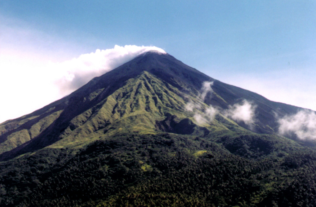
The Center for Volcanology and Geological Hazard/Pusat Vulkanologi dan Mitigasi Bencana Geologi (CVGHM/PVMBG) reported that the eruption continued at Karangetang on 25 August 2026 (local). Gas and/or vapor plume(s) rose to a maximum of 400 m (1,312 ft) above the vent. There were 7 seismically detected rockfalls. Faint rumbling sounds were heard from the North Crater. The alert level remained at "Level 2 - Alert" (on a 4-level scale).
Observatory Alert Level: "Level 2 - Alert" (on a 4-level scale) Source: Center for Volcanology and Geological Hazard/Pusat Vulkanologi dan Mitigasi Bencana Geologi (CVGHM/PVMBG) |
Krakatau (Indonesia) | Continuing eruption
|
|
 Krakatau KrakatauSunda Volcanic Arc |
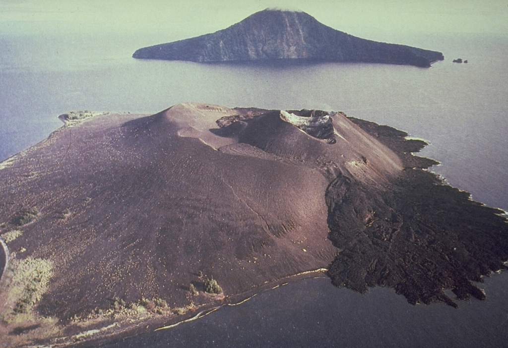
The Center for Volcanology and Geological Hazard/Pusat Vulkanologi dan Mitigasi Bencana Geologi (CVGHM/PVMBG) reported that the eruption continued at Krakatau on 25 August 2026 (local). There were 72 explosions reported, with plumes rising to a maximum of 400 m (1,312 ft) above the vent. The alert level remained at "Level 3 - Standby" (on a 4-level scale).
Observatory Alert Level: "Level 3 - Standby" (on a 4-level scale) Source: Center for Volcanology and Geological Hazard/Pusat Vulkanologi dan Mitigasi Bencana Geologi (CVGHM/PVMBG) |
Kīlauea (United States) | Continuing eruption
|
|
 Kīlauea KīlaueaHawaiian-Emperor Hotspot Volcano Group |
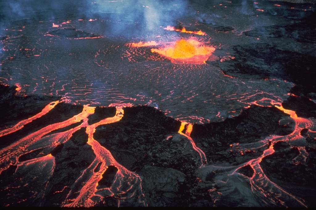
The United States Geological Survey (USGS) and United States Geological Survey - Hawaiian Volcano Observatory (USGS-HVO) reported that the eruption continued at Kilauea between 24 August 2026 (local) and 25 August 2026 (local). Spatter was observed at the north vent just after 1900 on 24 August and became more continuous after midnight. Tremor changed from continuous to well-defined gas piston cycles 5–10 minutes apart. Bright glow and flames at the west vent correlated with tremor peaks produced by drainback during those cycles. Two precursory overflows came from the north vent, from 0616 to 0637 and from 0727 to 0812. A third overflow began at 0852 and continued until it transitioned into lava fountaining. HVO raised the Volcano Alert Level to Watch and the Aviation Color Code to Orange at 0638. Episode 54 began at 1030 and lasted 9 hours. Fountains from the north vent reached a peak of 150 m above ground level around 1215 and remained at that height until about 1300. Fountain heights then decreased to 110 m by 1330, 50 m just before 1900, and 30–60 m in the final half hour. Neither the south nor the west vent fountained. The eruptive plume reached 5,200 m (17,000 ft) above sea level around 1215 and drifted SW. Plume heights decreased to about 2,100 m by the end. The instantaneous effusion rate peaked at about 220 cubic meters per second (m³/s) between 1145 and 1215 and averaged about 110 m³/s over the episode. An estimated 4.0 million m³ of lava covered about 30 percent of the Halemaʻumaʻu Crater floor. The Uēkahuna tiltmeter recorded about 12.7 microradians of deflation. NE winds carried gas, fine ash, and Pele's hair SW. Most tephra fell within the closed area of Hawaiʻi Volcanoes National Park, but HVO received a report of trace Pele's hair in the Kaʻū district. The episode ended abruptly at 1933. The last three minutes were marked by gas jetting and flames. HVO lowered the Volcano Alert Level to Advisory and the Aviation Color Code to Yellow at 1947.
Observatory Alert Level: "Watch" (level 3 on a 4-level scale) Source: United States Geological Survey (USGS); United States Geological Survey - Hawaiian Volcano Observatory (USGS-HVO) |
Lewotobi (Indonesia) | Continuing eruption
|
|
 Lewotobi LewotobiSunda Volcanic Arc |
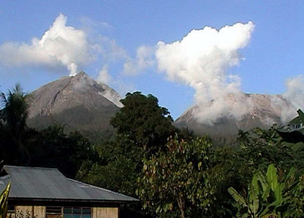
The Center for Volcanology and Geological Hazard/Pusat Vulkanologi dan Mitigasi Bencana Geologi (CVGHM/PVMBG) reported that the eruption continued at Lewotobi (Laki-Laki) on 25 August 2026 (local). Gas and/or vapor plume(s) rose to a maximum of 100 m (328 ft) above the vent. There were 3 explosions reported, with plumes rising to a maximum of 1,200 m (3,937 ft) above the vent. Low-frequency (LF) earthquakes were detected 1 times. The alert level remained at "Level 3 - Standby" (on a 4-level scale). Activity also included: low-frequency (LF) seismicity.
Observatory Alert Level: "Level 3 - Standby" (on a 4-level scale) Source: Center for Volcanology and Geological Hazard/Pusat Vulkanologi dan Mitigasi Bencana Geologi (CVGHM/PVMBG) |
Lewotolok (Indonesia) | Continuing eruption
|
|
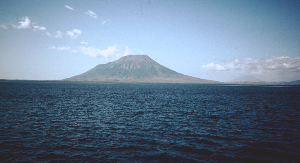 Lewotolok LewotolokSunda Volcanic Arc |
The Center for Volcanology and Geological Hazard/Pusat Vulkanologi dan Mitigasi Bencana Geologi (CVGHM/PVMBG) reported that the eruption continued at Lewotolok on 25 August 2026 (local). Gas and/or vapor plume(s) rose to a maximum of 200 m (656 ft) above the vent. There were 243 seismically detected explosions reported. There were 2 seismically detected rockfalls. The alert level remained at "Level 2 - Alert" (on a 4-level scale).
Observatory Alert Level: "Level 2 - Alert" (on a 4-level scale) Source: Center for Volcanology and Geological Hazard/Pusat Vulkanologi dan Mitigasi Bencana Geologi (CVGHM/PVMBG) |
Marapi (Indonesia) | Continuing eruption
|
|
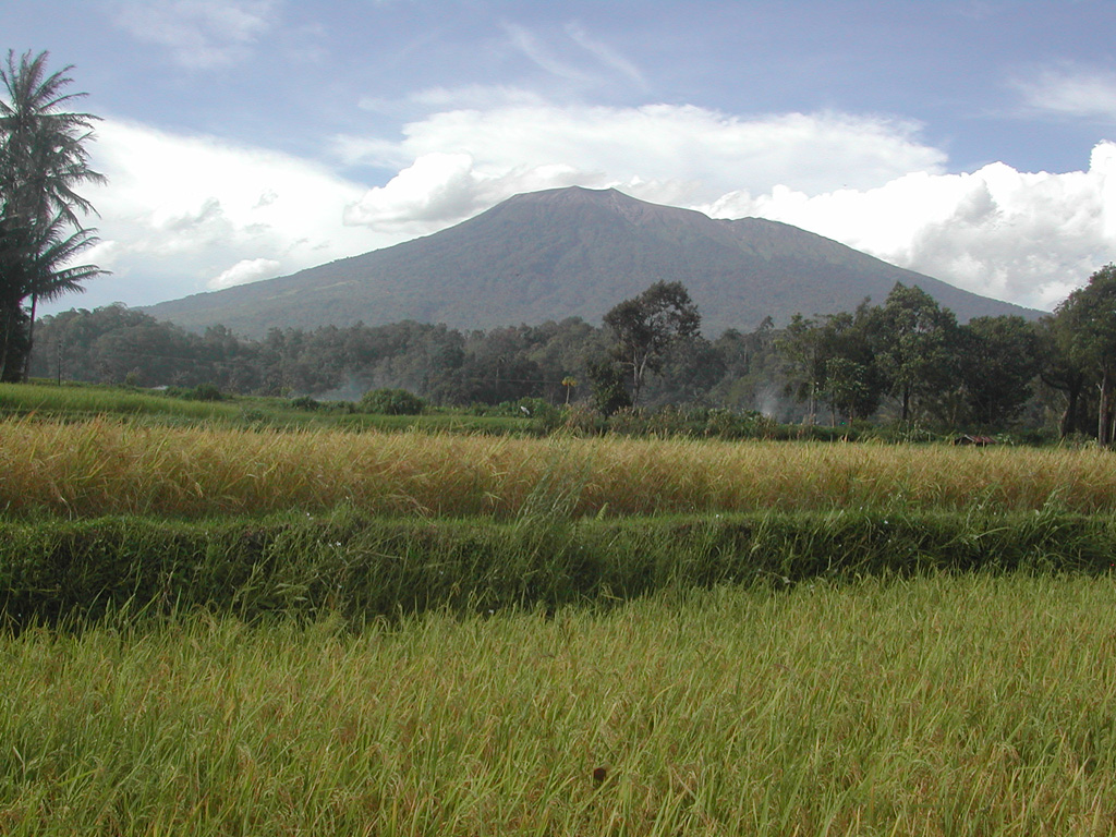 Marapi MarapiSunda Volcanic Arc |
The Center for Volcanology and Geological Hazard/Pusat Vulkanologi dan Mitigasi Bencana Geologi (CVGHM/PVMBG) reported that the eruption continued at Marapi on 25 August 2026 (local). The alert level remained at "Level 2 - Alert" (on a 4-level scale).
Observatory Alert Level: "Level 2 - Alert" (on a 4-level scale) Source: Center for Volcanology and Geological Hazard/Pusat Vulkanologi dan Mitigasi Bencana Geologi (CVGHM/PVMBG) |
Mayon (Philippines) | Continuing eruption
|
|
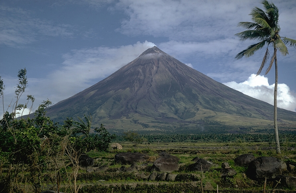 Mayon MayonEastern Philippine Volcanic Arc |
The Philippine Institute of Volcanology and Seismology (PHIVOLCS) reported that the eruption continued at Mayon on 25 August 2026 (local). At 1215 on 25 August, an ash emission from the summit crater lasted 30 seconds and generated a grayish plume that drifted ENE. The alert level remained at "2 - Increasing Unrest" (on a 0–5 level scale).
Observatory Alert Level: "2 - Increasing Unrest" (on a 0–5 level scale) Source: Philippine Institute of Volcanology and Seismology (PHIVOLCS) |
Merapi (Indonesia) | Continuing eruption
|
|
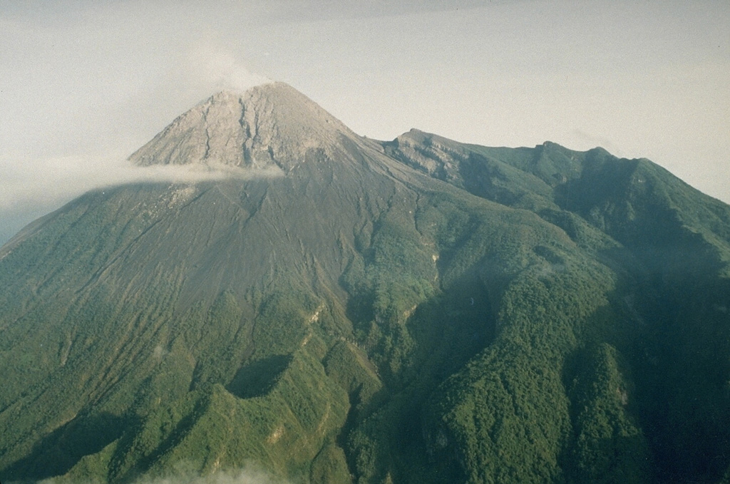 Merapi MerapiSunda Volcanic Arc |
The Center for Volcanology and Geological Hazard/Pusat Vulkanologi dan Mitigasi Bencana Geologi (CVGHM/PVMBG) reported that the eruption continued at Merapi on 25 August 2026 (local). Gas and/or vapor plume(s) rose to a maximum of 400 m (1,312 ft) above the vent. A pyroclastic density current (PDC), or pyroclastic flow, was observed descending 2,000 m toward Kali Sat/Putih on the SW flank. There were 20 hot rockfalls, traveling up to 2,000 m. There were 110 seismically detected rockfalls. The alert level remained at "Level 3 - Standby" (on a 4-level scale).
Observatory Alert Level: "Level 3 - Standby" (on a 4-level scale) Source: Center for Volcanology and Geological Hazard/Pusat Vulkanologi dan Mitigasi Bencana Geologi (CVGHM/PVMBG) |
Popocatépetl (Mexico) | Continuing eruption
|
|
 Popocatépetl PopocatépetlTrans-Mexican Volcanic Arc |
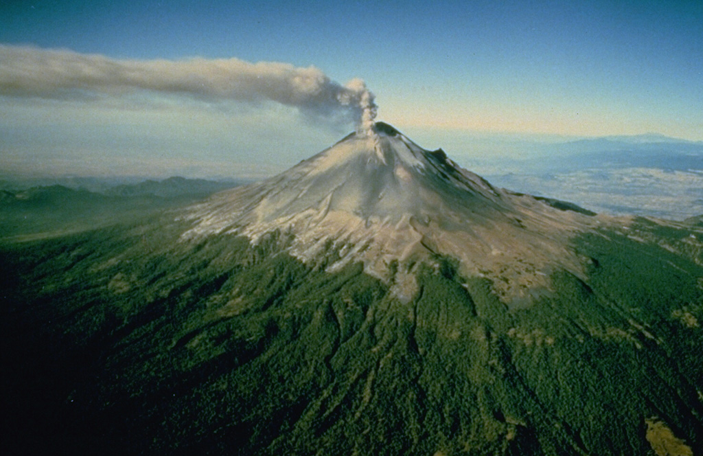
The Centro Nacional de Prevención de Desastres (CENAPRED) reported that the eruption continued at Popocatépetl between 24 August 2026 (local) and 25 August 2026 (local). Ash, gas, and vapor plume(s) were reported. The alert level remained at "Yellow Alert - Phase 2" (level 4 on a 7-level scale).
Observatory Alert Level: "Yellow Alert - Phase 2" (level 4 on a 7-level scale) Source: Centro Nacional de Prevención de Desastres (CENAPRED) |
Poás (Costa Rica) | Continuing eruption
|
|
 Poás PoásCentral America Volcanic Arc |
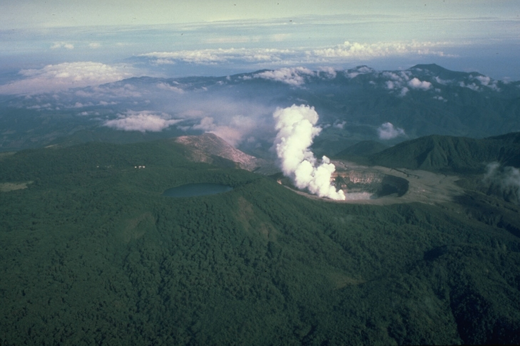
The Observatorio Vulcanológico y Sismológico de Costa Rica - Universidad Nacional (OVSICORI-UNA) reported that the eruption continued at Poás between 24 August 2026 (local) and 25 August 2026 (local). Background tremor evolved toward lower frequencies while amplitude remained high, with a frequency range of 0.5 to 8 Hz. The alert level remained at "Level 2 - Warning" (on a 0–4 level scale).
Observatory Alert Level: "Level 2 - Warning" (on a 0–4 level scale) Source: Observatorio Vulcanológico y Sismológico de Costa Rica - Universidad Nacional (OVSICORI-UNA) |
Puracé (Colombia) | Continuing eruption
|
|
 Puracé PuracéNorthern Andean Volcanic Arc |
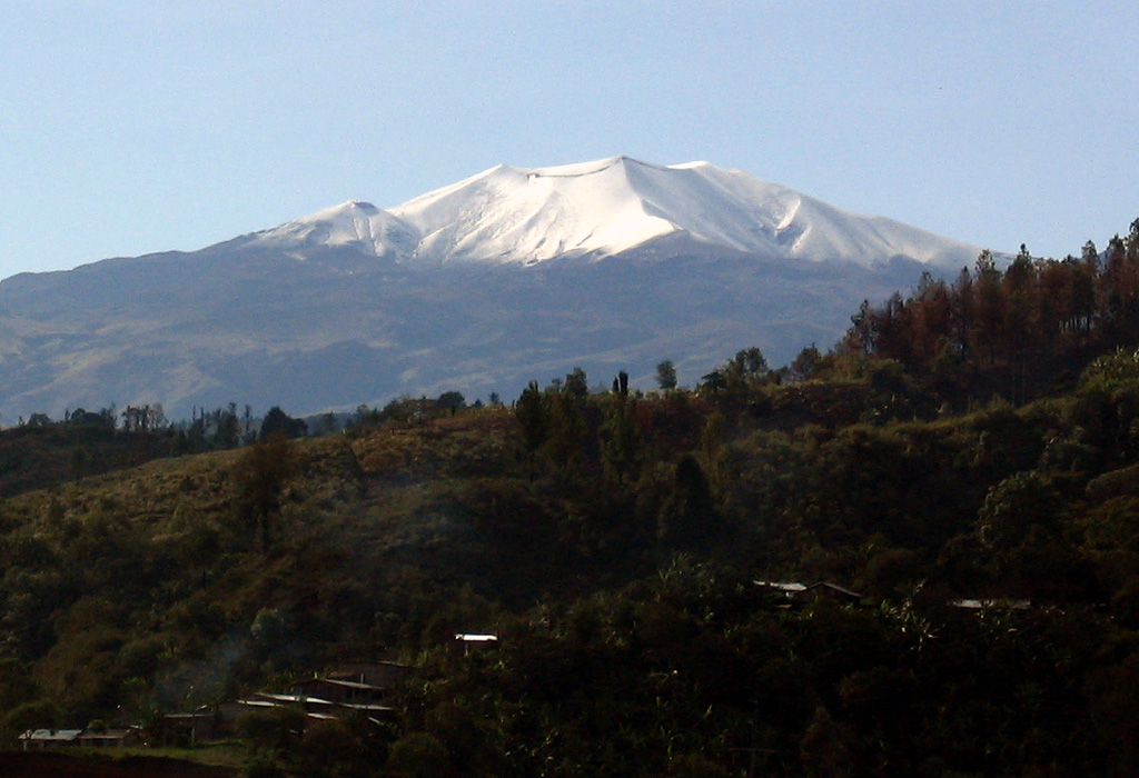
The Servicio Geológico Colombiano (SGC) reported that the eruption continued at Puracé between 24 August 2026 (local) and 25 August 2026 (local). Tremor caused by fluid dynamics in the volcanic conduits dominated the seismic record and intensified between 0100 and 0540 on 25 August. It was located beneath the crater at depths under 2 km. Long-period (LP) events occurred beneath the crater at depths under 2 km. Rock-fracturing seismicity remained low in number and magnitude and was located at less than 4 km below the volcanic edifice. Two ash emission events were confirmed visually on the surveillance webcams. The larger occurred at 0058 and reached 2,600 m above the vent. It was captured by the Mina infrared webcam, 2.2 km NW of the volcano. Residents and community watchers in the village of Cristales reported loud noises. SGC linked them to the 0058 ash emission. Sulfur dioxide remained above the known average for the volcano. Carbon dioxide measured in the soil continued to rise. Slow ground deformation persisted in the sector between the Puracé, Piocollo, and Curiquinga volcanoes. The alert level remained at "Orange" (level 3 on a 4-level scale).
Observatory Alert Level: "Orange" (level 3 on a 4-level scale) Source: Servicio Geológico Colombiano (SGC) |
Reventador (Ecuador) | Continuing eruption
|
|
 Reventador ReventadorNorthern Andean Volcanic Arc |
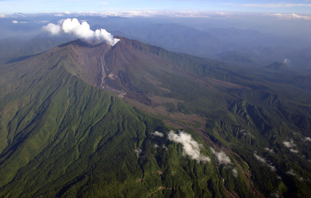
The Instituto Geofísico-Escuela Politécnica Nacional (IG-EPN) reported that the eruption continued at Reventador between 24 August 2026 (local) and 25 August 2026 (local). There were 77 seismically detected explosions reported. Ash and gas plume(s) rose to a maximum of 800 m (2,625 ft) above the vent. The alert level remained at "3 - Orange" (on a 4-level scale).
Observatory Alert Level: "3 - Orange" (on a 4-level scale) Source: Instituto Geofísico-Escuela Politécnica Nacional (IG-EPN) |
Rincón de la Vieja (Costa Rica) | Continuing eruption
|
|
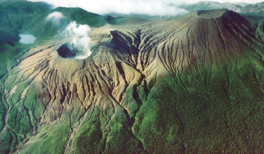 Rincón de la Vieja Rincón de la ViejaCentral America Volcanic Arc |
The Observatorio Vulcanológico y Sismológico de Costa Rica - Universidad Nacional (OVSICORI-UNA) reported that the eruption continued at Rincón de la Vieja between 24 August 2026 (local) and 25 August 2026 (local). Ash and vapor plume(s) rose to a maximum of 1,500 m (4,921 ft) above the vent. There was 1 phreatic explosion reported. The alert level remained at "Level 3 - Caution" (on a 0–4 level scale).
Observatory Alert Level: "Level 3 - Caution" (on a 0–4 level scale) Source: Observatorio Vulcanológico y Sismológico de Costa Rica - Universidad Nacional (OVSICORI-UNA) |
Sabancaya (Peru) | Continuing eruption
|
|
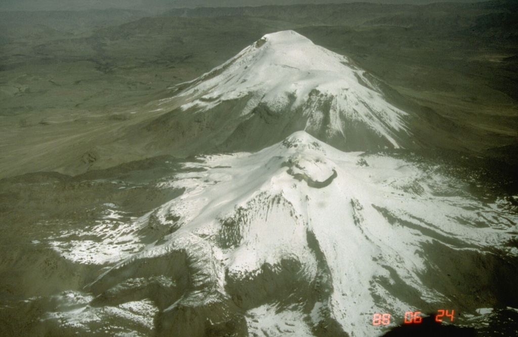 Sabancaya SabancayaCentral Andean Volcanic Arc |
The Centro Vulcanológico Nacional del Instituto Geofísico del Perú (CENVUL-IGP) reported that the eruption continued at Sabancaya between 24 August 2026 (local) and 25 August 2026 (local). Ash, gas, and vapor plume(s) rose to a maximum of 600 m (1,969 ft) above the vent. A total of 6 earthquakes related to the movement of magma and gases were recorded. Thermal anomalies were detected 1 times. The alert level remained at "Orange" (level 3 on a 4-level scale). Activity also included: thermal anomaly(ies).
Observatory Alert Level: "Orange" (level 3 on a 4-level scale) Source: Centro Vulcanológico Nacional del Instituto Geofísico del Perú (CENVUL-IGP) |
Sangay (Ecuador) | Eruptive activity decreased
|
|
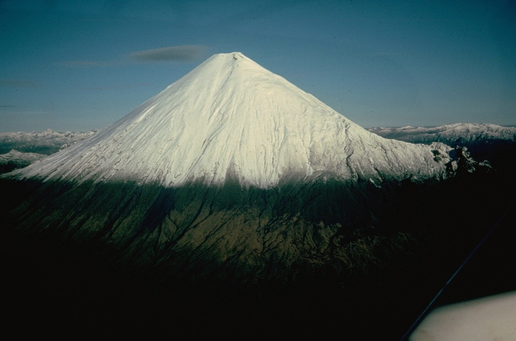 Sangay SangayNorthern Andean Volcanic Arc |
The Instituto Geofísico-Escuela Politécnica Nacional (IG-EPN) reported that eruptive activity decreased at Sangay between 24 August 2026 (local) and 25 August 2026 (local). There were 7 seismically detected explosions reported. The alert level remained at "2 - Yellow" (on a 4-level scale).
Observatory Alert Level: "2 - Yellow" (on a 4-level scale) Source: Instituto Geofísico-Escuela Politécnica Nacional (IG-EPN) |
Santa María (Guatemala) | Continuing eruption
|
|
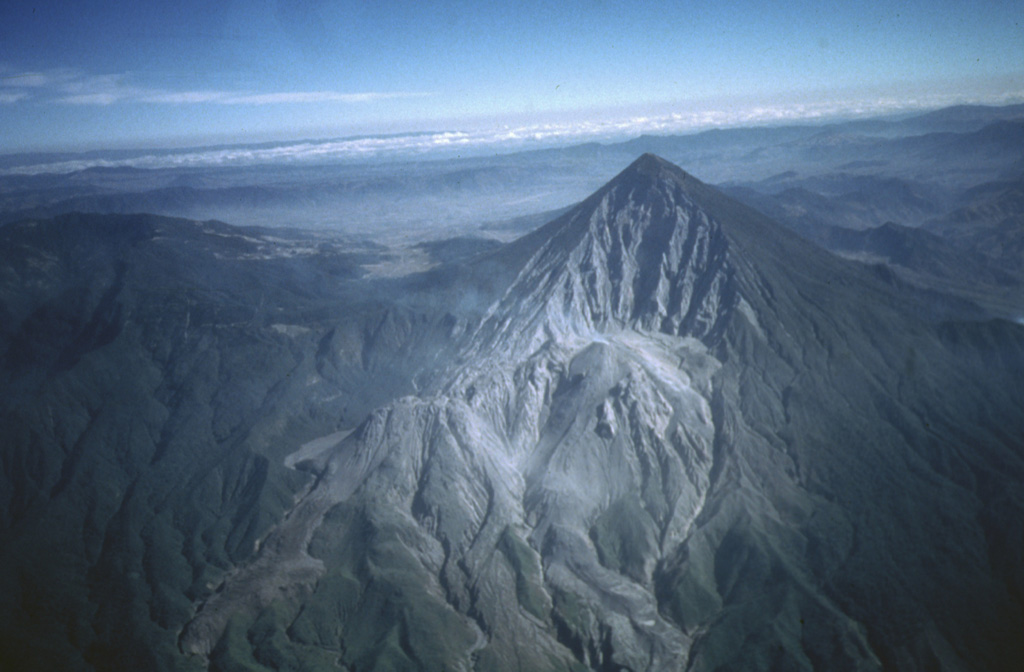 Santa María Santa MaríaCentral America Volcanic Arc |
The Instituto Nacional de Sismología, Vulcanología, Meteorología e Hidrología (INSIVUMEH) reported that the eruption continued at Santa María between 24 August 2026 (local) and 25 August 2026 (local). Gas and/or vapor plume(s) rose to a maximum of 400 m (1,312 ft) above the vent. There were explosions reported, occurring at a rate of up to 3 per hour, with plumes rising to a maximum of 700 m (2,297 ft) above the vent. Crater glow was observed during the night and early morning. There were incandescent rockfalls.
Observatory Alert Level: unavailable or not collected Source: Instituto Nacional de Sismología, Vulcanología, Meteorología e Hidrología (INSIVUMEH) |
Semeru (Indonesia) | Continuing eruption
|
|
 Semeru SemeruSunda Volcanic Arc |
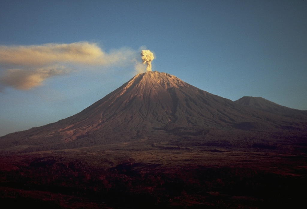
The Center for Volcanology and Geological Hazard/Pusat Vulkanologi dan Mitigasi Bencana Geologi (CVGHM/PVMBG) reported that the eruption continued at Semeru on 25 August 2026 (local). There were 109 explosions reported, with plumes rising to a maximum of 600 m (1,969 ft) above the vent. There were 27 seismically detected rockfalls. The alert level remained at "Level 3 - Standby" (on a 4-level scale).
Observatory Alert Level: "Level 3 - Standby" (on a 4-level scale) Source: Center for Volcanology and Geological Hazard/Pusat Vulkanologi dan Mitigasi Bencana Geologi (CVGHM/PVMBG) |
Taal (Philippines) | Continuing eruption
|
|
 Taal TaalLuzon Volcanic Arc |
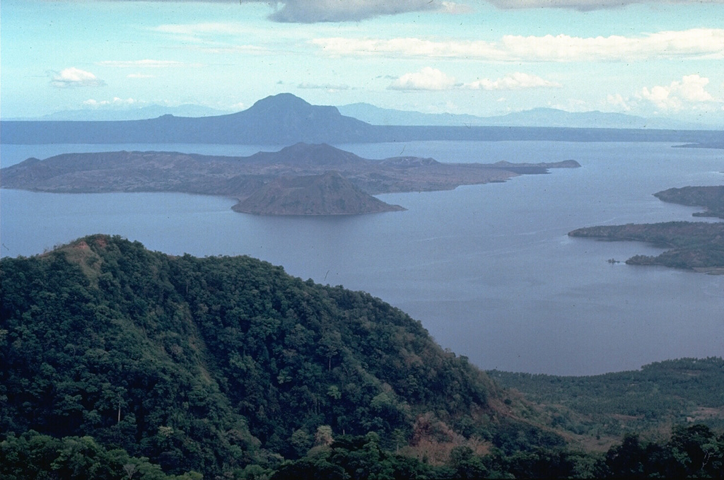
The Philippine Institute of Volcanology and Seismology (PHIVOLCS) reported that the eruption continued at Taal on 25 August 2026 (local). The alert level remained at "1 - Low-Level Unrest" (on a 0–5 level scale).
Observatory Alert Level: "1 - Low-Level Unrest" (on a 0–5 level scale) Source: Philippine Institute of Volcanology and Seismology (PHIVOLCS) |
Bulusan (Philippines) | Unrest
|
|
 Bulusan BulusanEastern Philippine Volcanic Arc |
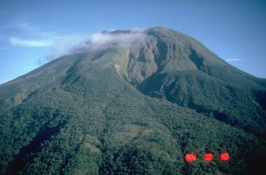
The Philippine Institute of Volcanology and Seismology (PHIVOLCS) reported that unrest continued at Bulusan on 25 August 2026 (local). Plume(s) rose to a maximum of 70 m (230 ft) above the vent. The alert level remained at "1 - Low Level of Volcanic Unrest" (on a 0–5 level scale).
Observatory Alert Level: "1 - Low Level of Volcanic Unrest" (on a 0–5 level scale) Source: Philippine Institute of Volcanology and Seismology (PHIVOLCS) |
Kupreanof (United States) | Unrest
|
|
 Kupreanof KupreanofAleutian Ridge Volcanic Arc |
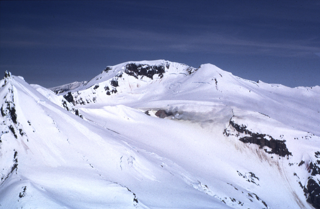
The United States Geological Survey - Alaska Volcano Observatory (USGS-AVO) reported that unrest continued at Kupreanof between 24 August 2026 (local) and 25 August 2026 (local). The alert level remained at "Advisory" (level 2 on a 4-level scale). The aviation alert level remained at "Yellow" (level 2 on a 4-level scale).
Observatory Alert Level: "Advisory" (level 2 on a 4-level scale) Source: United States Geological Survey - Alaska Volcano Observatory (USGS-AVO) |
Pacaya (Guatemala) | Unrest
|
|
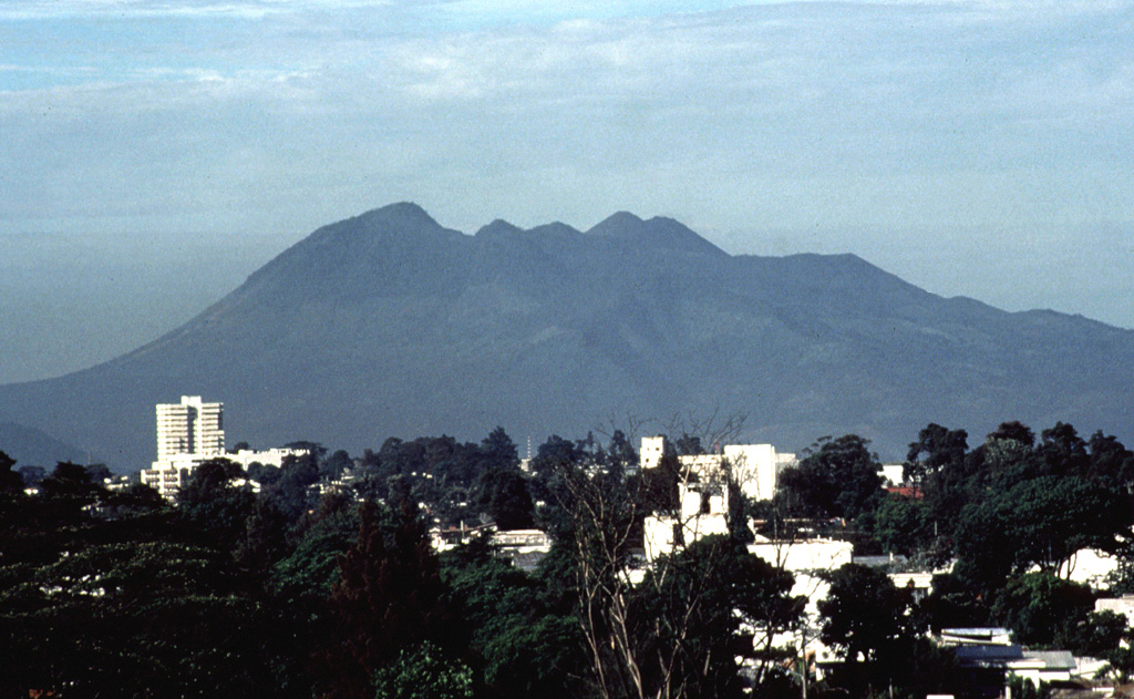 Pacaya PacayaCentral America Volcanic Arc |
The Instituto Nacional de Sismología, Vulcanología, Meteorología e Hidrología (INSIVUMEH) reported that unrest continued at Pacaya between 24 August 2026 (local) and 25 August 2026 (local).
Observatory Alert Level: unavailable or not collected Source: Instituto Nacional de Sismología, Vulcanología, Meteorología e Hidrología (INSIVUMEH) |
Shishaldin (United States) | Unrest
|
|
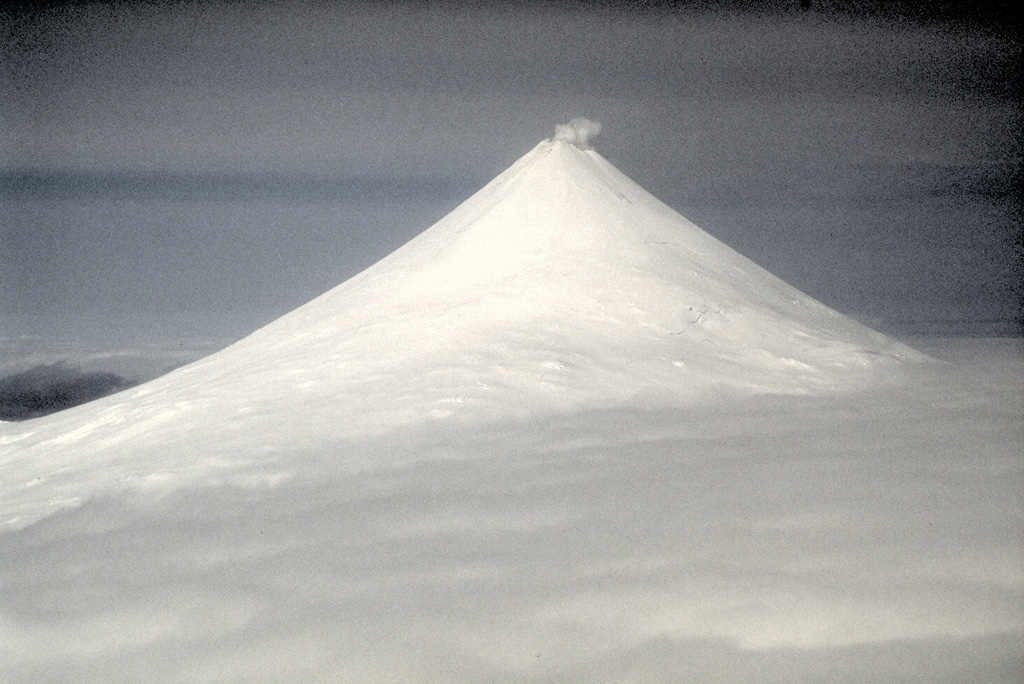 Shishaldin ShishaldinAleutian Ridge Volcanic Arc |
The United States Geological Survey - Alaska Volcano Observatory (USGS-AVO) reported that unrest continued at Shishaldin between 24 August 2026 (local) and 25 August 2026 (local). The alert level remained at "Advisory" (level 2 on a 4-level scale). The aviation alert level remained at "Yellow" (level 2 on a 4-level scale).
Observatory Alert Level: "Advisory" (level 2 on a 4-level scale) Source: United States Geological Survey - Alaska Volcano Observatory (USGS-AVO) |
Sinabung (Indonesia) | Unrest
|
|
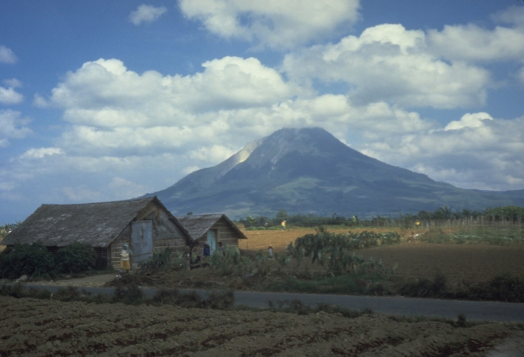 Sinabung SinabungSunda Volcanic Arc |
The Center for Volcanology and Geological Hazard/Pusat Vulkanologi dan Mitigasi Bencana Geologi (CVGHM/PVMBG) reported that unrest continued at Sinabung on 25 August 2026 (local). Gas and/or vapor plume(s) rose to a maximum of 400 m (1,312 ft) above the vent. Volcano-tectonic (VT) earthquakes were detected 1 times. Deep volcanic seismicity (Type A/vulkanik dalam) was recorded 1 times. The alert level remained at "Level 2 - Alert" (on a 4-level scale). Activity also included: deep volcanic seismicity (Type A/vulkanik dalam), volcano-tectonic (VT) seismicity.
Observatory Alert Level: "Level 2 - Alert" (on a 4-level scale) Source: Center for Volcanology and Geological Hazard/Pusat Vulkanologi dan Mitigasi Bencana Geologi (CVGHM/PVMBG) |
Sorikmarapi (Indonesia) | Unrest
|
|
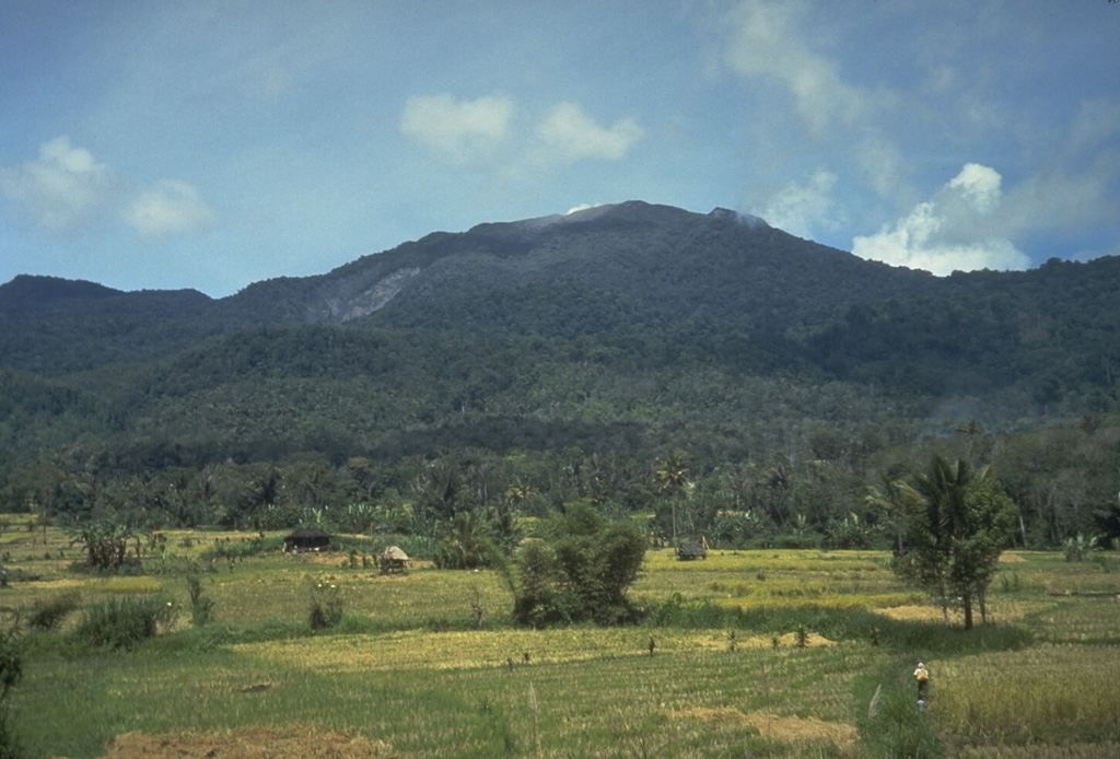 Sorikmarapi SorikmarapiSunda Volcanic Arc |
The Center for Volcanology and Geological Hazard/Pusat Vulkanologi dan Mitigasi Bencana Geologi (CVGHM/PVMBG) reported that unrest continued at Sorikmarapi on 25 August 2026 (local).
Observatory Alert Level: "Level 2 - Alert" (on a 4-level scale) Source: Center for Volcanology and Geological Hazard/Pusat Vulkanologi dan Mitigasi Bencana Geologi (CVGHM/PVMBG) |
Turrialba (Costa Rica) | Unrest
|
|
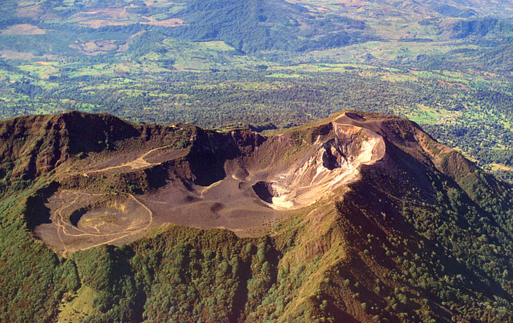 Turrialba TurrialbaCentral America Volcanic Arc |
The Observatorio Vulcanológico y Sismológico de Costa Rica - Universidad Nacional (OVSICORI-UNA) reported that unrest continued at Turrialba between 24 August 2026 (local) and 25 August 2026 (local). The alert level remained at "Level 2 - Warning" (on a 0–4 level scale).
Observatory Alert Level: "Level 2 - Warning" (on a 0–4 level scale) Source: Observatorio Vulcanológico y Sismológico de Costa Rica - Universidad Nacional (OVSICORI-UNA) |
Laguna del Maule (Chile) | Background or normal activity
|
|
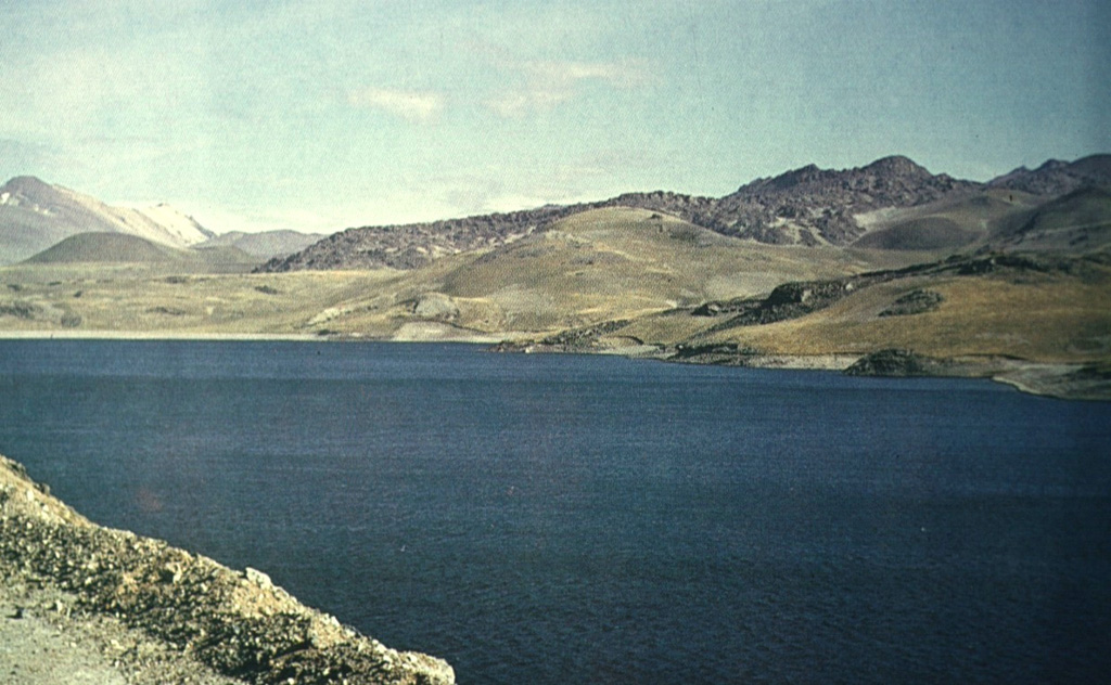 Laguna del Maule Laguna del MauleSouthern Andean Volcanic Arc |
The Observatorio Argentino de Vigilancia Volcánica (OAVV) and Servicio Nacional de Geología y Minería (SERNAGEOMIN) issued a report for Maule, Laguna del on 25 August 2026 (local). Monitoring stations recorded 202 volcano-tectonic (VT) earthquakes over three hours, associated with rock-fracturing activity. SEGEMAR characterized the episode as a seismic swarm. The largest event occurred at 1708 at 36.084°S, 70.489°W, at a depth of 4.7 km, with a local magnitude of 2.3. The end of the swarm could not be confirmed at the time of the report. A VT event occurred at 36.081°S, 70.484°W, at a depth of 4.7 km, with a local magnitude of 3.3. Recurrent VT earthquakes continued, with most events characterized as low energy. The alert level remained at "Green" (level 1 on a 4-level scale).
Observatory Alert Level: "Green" (level 1 on a 4-level scale) Source: Observatorio Argentino de Vigilancia Volcánica (OAVV); Servicio Nacional de Geología y Minería (SERNAGEOMIN) |
The Daily Volcanic Activity Report is a cooperative project between the Smithsonian's Global Volcanism Program and the USGS Volcano Disaster Assistance Program. The report is published Monday-Friday, and roughly describes volcanic activity that has occurred and been reported upon during the preceding 24 hours. Because data for these reports are gathered Monday through Friday, reports published on Mondays may be incomplete and/or include events that occurred over the weekend. The report is not a comprehensive list of all currently erupting volcanoes, but rather a summary of activity that meets criteria described below.
Daily Volcanic Activity Reports are preliminary and subject to change. Carefully reviewed, detailed narratives over longer time periods are published as the Weekly Volcanic Activity Reports and reports of the Bulletin of the Global Volcanism Network available through volcano profile pages. Daily Volcanic Activity Reports should not be used in place of primary information from volcano observatories, particularly to inform decision-making during volcanic unrest.
The Daily Volcanic Activity Report does not necessarily include all volcanic activity on Earth during each day. The overall goal is to document the alert level as well as more detailed daily information for a prioritized list of volcanoes.
Since these reports are intended to provide timely information about global volcanism on a daily basis, they are generated rapidly by summarizing volcanic reports from various sources (including volcano observatories and Volcanic Ash Advisory Centers), with little time for verification. The accuracy of the Daily Volcanic Activity Report is dependent upon the quality and content of the volcanic activity reports being collected, and accordingly may include some events ultimately found to be erroneous or misleading. Reports published in other products cover longer time periods, providing an opportunity for additional review. Because of our emphasis on rapid reporting on the web we have avoided diacritical marks.
Rapidly developing events lead to coverage that is often fragmentary. Volcanic eruptions, including their plumes and associated atmospheric effects, are complex phenomena that may require months to years of data analysis to create a comprehensive summary and interpretation of events. Preliminary accounts sometimes contain errors and "false alarms," and accordingly, this report may include some events ultimately found to be erroneous or misleading.
The Volcano List tab contains additional columns for Country, Volcanic Region, and Last Known Eruption. The country name is present for informational purposes only, and may not correspond to official US Government policy. Multiple hyphenated countries indicate a volcano that is present along a border along those countries; additional information is available about disputed areas. The names of Volcanic Regions reflect common scientific or geographic names combined with terms indicative of the general tectonic environment, and have no political implications. The "Last Known Activity" field presents start and stop dates using data available from the most recent eruption update, with "(continuing)" indicating a volcanco on the Current Eruptions page. Volcanoes may be noted on a Daily Report as having eruptive activity but not shown as having a current eruption due to a new eruption starting after the last update, which are generally done every 6-8 weeks. This field will always show the latest eruption dates regardless of the date selected for reports.
Information presented on this website is considered public information and may be distributed or copied. Use of appropriate byline/photo/image credit is requested. We strongly recommend that USGS data be acquired directly from a USGS server and not through other sources that may change the data in some way. While USGS makes every effort to provide accurate and complete information, various data such as names, telephone numbers, etc. may change prior to updating. USGS welcomes suggestions on how to improve our home page and correct errors. USGS provides no warranty, expressed or implied, as to the accuracy, reliability or completeness of furnished data.
Some of the documents on this server may contain live references (or pointers) to information created and maintained by other organizations. Please note that USGS does not control and cannot guarantee the relevance, timeliness, or accuracy of these outside materials.
For site security purposes and to ensure that this service remains available to all users, this government computer system employs software programs to monitor network traffic to identify unauthorized attempts to upload or change information, or otherwise cause damage. Unauthorized attempts to upload information or change information on this website are strictly prohibited and may be punishable under the Computer Fraud and Abuse Act of 1986 and the National Information Infrastructure Protection Act. Information may also be used for authorized law enforcement investigations. (Last modified September 21, 1999.)
U.S. Department of the Interior, U.S. Geological Survey, Reston, VA, USA


 Cite this Report