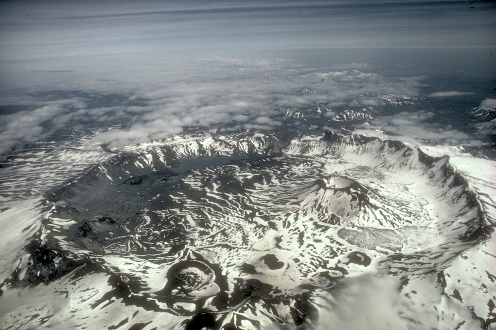
Aira (Japan) | 16 August-22 August 2023 | Continuing Activity Cite this Report Cite this Report |
 Aira Aira
Ryukyu Volcanic Arc
|
JMA reported ongoing activity at both Minamidake Crater and Showa Crater (Aira Caldera’s Sakurajima volcano) during 14-21 August. Very small eruptive events occasionally occurred at Minamidake and nighttime incandescence was observed at that same crater. A very small eruptive event was recorded at Showa on 17 August. The Alert Level remained at 3 (on a 5-level scale), and the public was warned to stay 2 km away from both craters.
Source: Japan Meteorological Agency (JMA)
|
Aniakchak (United States) | 16 August-22 August 2023 | Continuing ActivityCite this Report |
 Aniakchak Aniakchak
Alaska Peninsula Volcanic Arc
|
On 17 August AVO reported that number of earthquakes beneath Aniakchak and the measurable uplift of the ground surface in the caldera had declined to background levels. The Aviation Color Code was lowered to Green (the lowest level on a four-color scale) and the Volcano Alert Level was lowered to Normal (the lowest level on a four-level scale).
Source: US Geological Survey Alaska Volcano Observatory (AVO)
|
Ebeko (Russia) | 16 August-22 August 2023 | Continuing ActivityCite this Report |
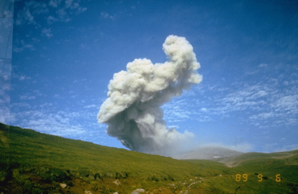 Ebeko Ebeko
Kuril Volcanic Arc
|
KVERT reported that a moderate explosive activity at Ebeko was ongoing during 10-17 August. According to volcanologists in Severo-Kurilsk (Paramushir Island, about 7 km E), explosions during 11-14 and 16 August generated ash plumes that rose as high as 3 km (10,000 ft) a.s.l and drifted to the S and SE. Thermal anomalies were identified in satellite images during 11 and 13-15 August; weather clouds obscured views on other days. The Aviation Color Code remained at Orange (the third level on a four-color scale). Dates are based on UTC times; specific events are in local time where noted.
Source: Kamchatkan Volcanic Eruption Response Team (KVERT)
|
Etna (Italy) | 16 August-22 August 2023 | Continuing ActivityCite this Report |
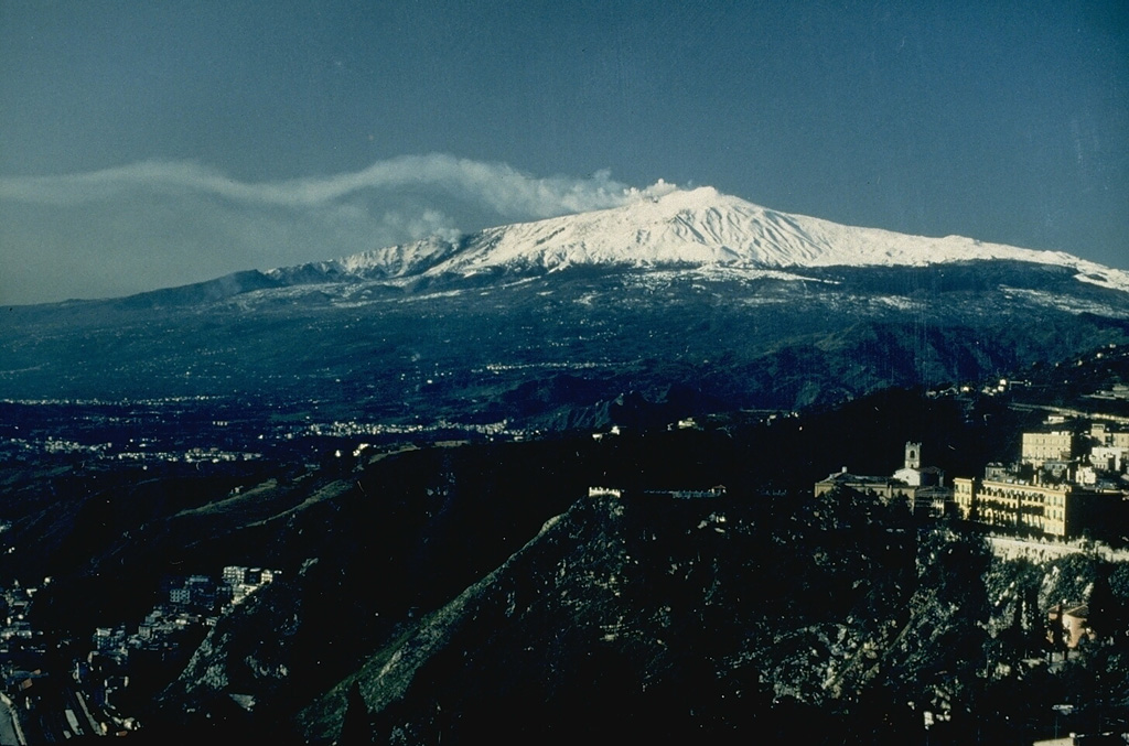 Etna Etna
Sicily Volcanic Province
|
INGV reported that an eruption at Etna began on 13 August. Tremor amplitude suddenly increased at around 2000 on 13 August and reached high values within 20 minutes. Significant infrasonic activity coincided with the tremor increase. Strombolian activity at SE Crater began to gradually intensify starting at 2040. Seismic activity continued to increase. The Aviation Color Code was raised to Yellow (second lowest level on a four-color scale) at 2126 and then to Orange at 2129 due to above-background activity. By 2333 the Strombolian activity had evolved into lava fountaining and lava overflowed the S flank of SE Crater. Ash, gas, and steam plumes drifted S and caused ashfall in areas downwind, on the volcano’s flanks and beyond. The Aviation Color Code was raised to Red at 2241 based on strong explosive activity and ashfall in Rifugio Sapienza-Piano Vetore at 1,700 m elevation on the S flank.
Seismic and infrasonic activity continued to intensify, reached a peak at around 0320 on 14 August, then rapidly decreased to pre-eruptive levels between 0450 and 0530. Coincident with the decreasing seismicity, fountaining ceased at around 0520. The Aviation Color Code was lowered to Orange as volcanic ash was confined to the summit area. Sporadic, minor ash emissions continued throughout the day. At 1415 the Aviation Color Code was lowered to Yellow and then lowered to Green at 1417. According to a news source the ash emissions caused the closure of the Catania airport, about 50 km S, from 0238 until 2000; the airport averages about 200 flights a day. Though activity decreased at the beginning of the day, ashfall continued to impact the area. The mayor banned the use of motorcycles until 16 August and banned drivers from driving over 30 kilometers per hour.
At 2346 an explosion at SE Crater produced a volcanic cloud that rapidly dispersed. The Aviation Color Code was raised to Yellow at 2355 on 14 August due to increasing unrest and lowered back to Green at 0954 on 15 August. At 2030 on 15 August a report noted that during the day the amplitude of volcanic tremor fluctuated widely and was mostly centered beneath SE Crater and E of the central craters. By 1700 infrasonic activity increased and coincided with more intense periods of tremor; the signals indicated that the source of the activity was at Bocca Nuova Crater. Gas emissions rose from both the SE and Bocca Nuova craters. The Aviation Color Code was raised to Yellow at 1944. During 15-20 August gas emissions rose from Bocca Nuova Crater and from the SE Crater’s E vent and numerous fumaroles located along the crater rim.
An 18 August satellite image was used to estimate the extent of the flow field, though the analysis was difficult due to weather clouds obscuring features in the image. The image revealed that a fissure had opened on the SW flank of SE Crater, was about 350 m long, and oriented NNE-SSW. The lava flow reached 2,790 m elevation, W of Frumento Supino, and had an estimated volume of 900,000 cubic meters and an area of 300,000 square meters.
Sources: Sezione di Catania - Osservatorio Etneo (INGV), Euronews
|
Great Sitkin (United States) | 16 August-22 August 2023 | Continuing ActivityCite this Report |
 Great Sitkin Great Sitkin
Aleutian Ridge Volcanic Arc
|
AVO reported that slow lava effusion likely continued at Great Sitkin during 16-22 August, producing a thick flow in the summit crater. Seismicity remained slightly elevated throughout the week. Weather clouds often obscured satellite and webcam views, though strongly elevated surface temperatures were visible during 21-22 August. The Volcano Alert Level remained at Watch (the third level on a four-level scale) and the Aviation Color Code remained at Orange (the third color on a four-color scale).
Source: US Geological Survey Alaska Volcano Observatory (AVO)
|
Karangetang (Indonesia) | 16 August-22 August 2023 | Continuing ActivityCite this Report |
 Karangetang Karangetang
Sangihe Volcanic Arc
|
PVMBG reported that dense white gas-and-steam plumes from Karangetang were visible daily rising as high as 200 m and drifting multiple directions during 16-22 August. Weather clouds sometimes prevented views of the summit. A webcam images published in the reports showed incandescence at the summit and from material on the flanks of Main Crater (S crater) on 17 August. Pyroclastic flows continued to be generated by collapsing material according to a 17 August new article. The Alert Level remained at 3 (on a scale of 1-4) and the public were advised to stay 2.5 km away from Main Crater with an extension to 3.5 km on the S and SE flanks.
Sources: Pusat Vulkanologi dan Mitigasi Bencana Geologi (PVMBG, also known as CVGHM), Antara News
|
Klyuchevskoy (Russia) | 16 August-22 August 2023 | Continuing ActivityCite this Report |
 Klyuchevskoy Klyuchevskoy
Eastern Kamchatka Volcanic Arc
|
KVERT reported that the explosive Strombolian eruption at Klyuchevskoy continued during 10-17 August and a daily bright thermal anomaly was identified in satellite images. Lava advanced down the Apakhonchich drainage on the SE flank. The Aviation Color Code remained at Yellow (the second level on a four-color scale).
Source: Kamchatkan Volcanic Eruption Response Team (KVERT)
|
Lewotolok (Indonesia) | 16 August-22 August 2023 | Continuing ActivityCite this Report |
 Lewotolok Lewotolok
Sunda Volcanic Arc
|
PVMBG reported that the eruption at Lewotolok continued during 16-22 August. On most days white steam-and-gas plumes rose as high as 500 m above the summit and drifted W and NW. White-and-gray ash plumes rose 100-300 m and drifted W and NW on 16 August. Incandescence at the summit was visible in a webcam image from 19 August. Possible ash plumes were visible in webcam images on most days, especially in an image from 1735 on 20 August. The Alert Level remained at 2 (on a scale of 1-4) and the public was warned to stay at least 2 km away from the summit crater.
Source: Pusat Vulkanologi dan Mitigasi Bencana Geologi (PVMBG, also known as CVGHM)
|
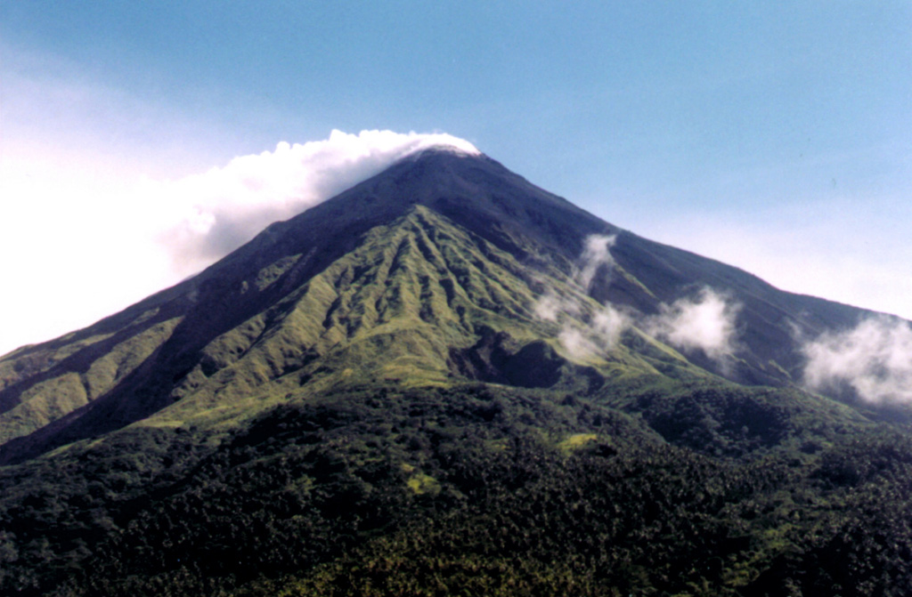
Mayon (Philippines) | 16 August-22 August 2023 | Continuing ActivityCite this Report |
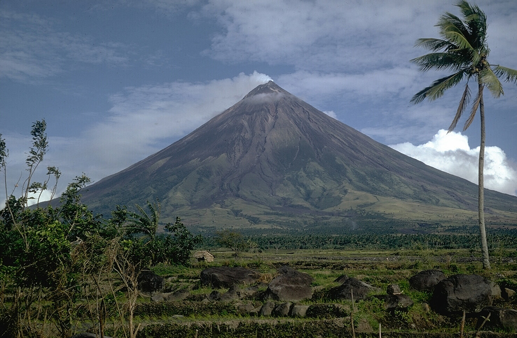 Mayon Mayon
Eastern Philippine Volcanic Arc
|
PHIVOLCS reported that the eruption at Mayon continued during 16-22 August, with slow lava effusion from the summit crater feeding flows on the S, SE, and E flanks. The lengths of the lava flow in the Mi-Isi (S), Bonga (SE), and Basud (E) drainages remained at 2.8 km, 3.4 km, and 1.1 km, respectively. Collapses at the lava dome and from the lava flows produced incandescent rockfalls and pyroclastic density currents (PDCs, or pyroclastic flows) that descended the three drainages as far as 4 km. Each day seismic stations recorded 60-154 rockfall events and 1-7 PDC events, though no PDC events were recorded during 21-22 August. There were 23-175 volcanic earthquakes, including 4-96 tremor events, each with durations of 1-80 minutes. Sulfur dioxide emissions averaged between 753 and 4,756 tonnes per day, with the highest value recorded on 16 August. The Alert Level remained at 3 (on a 0-5 scale) and residents were reminded to stay away from the 6-km-radius Permanent Danger Zone (PDZ). PHIVOLCS recommended that civil aviation authorities advise pilots to avoid flying close to the summit.
Source: Philippine Institute of Volcanology and Seismology (PHIVOLCS)
|
Merapi (Indonesia) | 16 August-22 August 2023 | Continuing ActivityCite this Report |
 Merapi Merapi
Sunda Volcanic Arc
|
BPPTKG reported that the eruption at Merapi (on Java) continued during 4-10 August and seismicity remained at elevated levels. The SW lava dome produced a total of 244 lava avalanches that descended the SW flank; 34 traveled as far as 1.6 km down the upper part of the Boyong drainage, 207 traveled as far as 2 km down the upper Bebeng drainage, and 3 traveled as far as 1.4 km down the Senowo drainage. Morphological changes to the SW lava dome were due to continuing collapses of material. The Alert Level remained at 3 (on a scale of 1-4), and the public was warned to stay 3-7 km away from the summit based on location.
Source: Balai Penyelidikan dan Pengembangan Teknologi Kebencanaan Geologi (BPPTKG)
|
Nevado del Ruiz (Colombia) | 16 August-22 August 2023 | Continuing ActivityCite this Report |
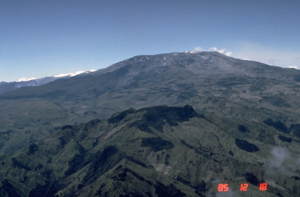 Nevado del Ruiz Nevado del Ruiz
Northern Andean Volcanic Arc
|
Servicio Geológico Colombiano’s (SGC) Observatorio Vulcanológico y Sismológico de Manizales reported that the eruption at Nevado del Ruiz continued at low levels during 15-21 August. Seismicity was generally low with occasional increases to moderate levels. Steam-and-gas emissions continued. Gas, steam, and ash plumes rose as high as 1.5 km and drifted NW and WNW on 19 August. A low-energy thermal anomaly from the crater was identified in satellite images. The Alert Level remained at Yellow, Level III (the second level on a four-level scale).
Source: Servicio Geológico Colombiano (SGC)
|
Reventador (Ecuador) | 16 August-22 August 2023 | Continuing ActivityCite this Report |
 Reventador Reventador
Northern Andean Volcanic Arc
|
IG-EPN reported that the eruption at Reventador was ongoing during 15-22 August. Seismicity was characterized by 21-30 daily explosions, long-period earthquakes, harmonic tremor, and tremor associated with emissions. Crater incandescence was visible nightly and sometimes early mornings, and explosions ejected incandescent material onto the flanks. Daily ash-and-gas plumes rose 900-1,300 m above the crater rim and drifted E, NW, W, and SW during 15-21 August; weather clouds prevented views on 22 August. Secretaría de Gestión de Riesgos maintained the Alert Level at Orange (the second highest level on a four-color scale).
Sources: Instituto Geofísico-Escuela Politécnica Nacional (IG-EPN), Secretaría de Gestión de Riesgos (SGR)
|
Rincon de la Vieja (Costa Rica) | 16 August-22 August 2023 | Continuing ActivityCite this Report |
 Rincon de la Vieja Rincon de la Vieja
Central America Volcanic Arc
|
OVSICORI-UNA reported daily small phreatic events at Rincón de la Vieja during 15-22 August. Events at 1224 on 21 August and 0749 on 22 August each produced steam-and-gas plumes that rose 500-600 m above the crater rim.
Source: Observatorio Vulcanologico y Sismologico de Costa Rica-Universidad Nacional (OVSICORI-UNA)
|
Sabancaya (Peru) | 16 August-22 August 2023 | Continuing ActivityCite this Report |
 Sabancaya Sabancaya
Central Andean Volcanic Arc
|
Instituto Geofísico del Perú (IGP) reported that the eruption at Sabancaya continued during 14-20 August with a daily average of 28 explosions. Gas-and-ash plumes rose as high as 3.2 km above the summit and drifted W, NW, N, and NE. A total of 13 thermal anomalies from the lava dome in the summit crater were detected using satellite data. Minor inflation was detected near the Hualca Hualca sector (4 km N). The Alert Level remained at Orange (the second highest level on a four-color scale) and the public were warned to stay outside of a 12 km radius.
Source: Instituto Geofísico del Perú (IGP)
|
Sangay (Ecuador) | 16 August-22 August 2023 | Continuing ActivityCite this Report |
 Sangay Sangay
Northern Andean Volcanic Arc
|
IG-EPN reported a high level of eruptive activity at Sangay during 15-22 August, and seismic stations recorded 285-783 daily explosions. Crater incandescence was often visible in overnight webcam images, and during 16-18 August material on the S flank was incandescent up to 1 km from the crater. Several daily ash-and-gas plumes rose as high as 2.5 km above the crater rim and drifted mainly SW, W, and NW during 15-21 August. Ashfall was occasionally reported during 15-19 August in areas downwind, including Cebadas (35 km WNW), Guarguallá (25 km WNW), Retén (34 km WNW), and Palmira (46 km W), all located in the province of Chimborazo. Secretaría de Gestión de Riesgos maintained the Alert Level at Yellow (the second highest level on a four-color scale).
Sources: Instituto Geofísico-Escuela Politécnica Nacional (IG-EPN), Secretaría de Gestión de Riesgos (SGR)
|
Semeru (Indonesia) | 16 August-22 August 2023 | Continuing ActivityCite this Report |
 Semeru Semeru
Sunda Volcanic Arc
|
PVMBG reported that eruptive activity continued at Semeru during 16-22 August. White-and-gray ash plumes rose as high as 800 m above the summit and drifted SW, W, NW, and SE during 16-17 and 19-21 August. The plumes were often dense. The Alert Level remained at 3 (third highest on a scale of 1-4). The public was warned to stay at least 5 km away from the summit in all directions, 13 km from the summit to the SE, 500 m from the banks of the Kobokan drainage as far as 17 km from the summit, and to avoid other drainages including the Bang, Kembar, and Sat, due to lahar, avalanche, and pyroclastic flow hazards.
Source: Pusat Vulkanologi dan Mitigasi Bencana Geologi (PVMBG, also known as CVGHM)
|
Sheveluch (Russia) | 16 August-22 August 2023 | Continuing ActivityCite this Report |
 Sheveluch Sheveluch
Eastern Kamchatka Volcanic Arc
|
KVERT reported that the eruption at Sheveluch continued during 10-17 August. Intense fumarolic activity was visible at the active dome, and daily thermal anomalies were identified in satellite images. The Aviation Color Code remained at Orange (the third level on a four-color scale). Dates are based on UTC times; specific events are in local time where noted.
Source: Kamchatkan Volcanic Eruption Response Team (KVERT)
|
Stromboli (Italy) | 16 August-22 August 2023 | Continuing ActivityCite this Report |
 Stromboli Stromboli
Aeolian Volcanic Arc
|
INGV reported that eruptive activity continued at Stromboli during 14-20 August. Webcam images showed Strombolian activity at the summit craters in Area North (Area N) and Area Central-South (Area CS). Explosions at vents N1 and N2 in Area N were variable in intensity and ejected coarse material (bombs and lapilli) and ash. Intense spattering occurred at N1 during 17-18 August. Explosive activity in Area CS was concentrated at three vents in Sector S2. The explosions ejected bombs and lapilli, though spattering was observed during 17-18 August. Gas emissions rose from the S1 vent and the central (C) vent. The Dipartimento della Protezione Civile maintained the Alert Level at Yellow (the second lowest level on a four-level scale).
Sources: Sezione di Catania - Osservatorio Etneo (INGV), Dipartimento della Protezione Civile
|
Suwanosejima (Japan) | 16 August-22 August 2023 | Continuing ActivityCite this Report |
 Suwanosejima Suwanosejima
Ryukyu Volcanic Arc
|
JMA reported that the eruption at Suwanosejima's Ontake Crater continued during 14-21 August. Eruptive events at 0911 on 16 August, 1303 on 20 August, and 0317 on 21 August produced ash plumes that rose 1-1.1 km above the crater rim and drifted SE, SW, and W, respectively. Alert Level remained at 2 (on a 5-level scale) and the public was warned to stay at least 1 km away from the crater.
Source: Japan Meteorological Agency (JMA)
|
Ubinas (Peru) | 16 August-22 August 2023 | Continuing ActivityCite this Report |
 Ubinas Ubinas
Central Andean Volcanic Arc
|
Instituto Geofísico del Perú (IGP) and Instituto Geológico Minero y Metalúrgico (INGEMMET) reported that the eruption at Ubinas continued during 14-21 August. According to IGP there were a daily average of 104 volcano-tectonic earthquakes indicating rock fracturing and 71 long-period earthquakes signifying the movement of gas and magma. In addition, seismic signals associated with ash emissions were recorded for an average of eight hours per day, with a maximum of 14 hours on 17 August. According to the Buenos Aires VAAC diffuse ash-and-gas puffs rose 6.4-7.6 km (21,000-25,000 ft) a.s.l. (0.7-1.9 km above the summit) and drifted W, NW, and N during 15-18 August. IGP noted that ash-and-gas plumes rose as high as 3.5 km above the crater rim and drifted as far as 50 km W, NW, N, and NE; ash advisories were issued on 17, 18, and 21 August. Explosions were recorded at 0141 and 0918 on 21 August. The Alert Level remained at Orange (the third level on a four-color scale) and the public was warned to stay 4 km away from the crater.
Sources: Instituto Geofísico del Perú (IGP), Instituto Geológico Minero y Metalúrgico (INGEMMET), Buenos Aires Volcanic Ash Advisory Center (VAAC)
|

 Bagana
 Dempo
Dempo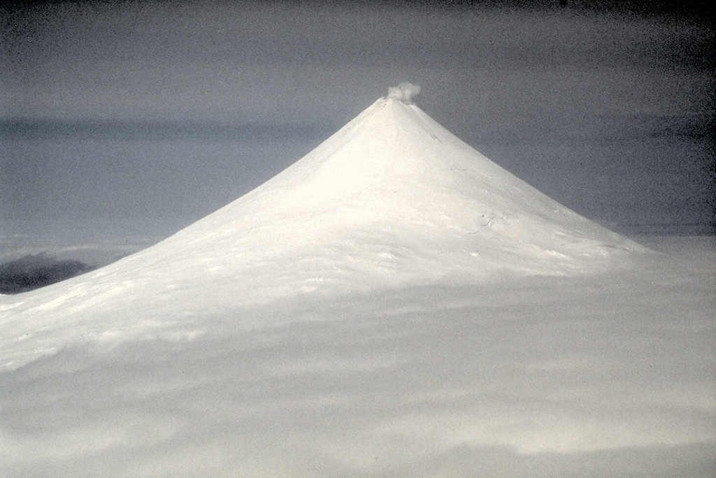 Shishaldin