Ambae (Vanuatu) | 26 June-2 July 2024 | New Activity / Unrest
 Cite this Report Cite this Report
|
 Ambae Ambae
Vanuatu Volcanic Arc
|
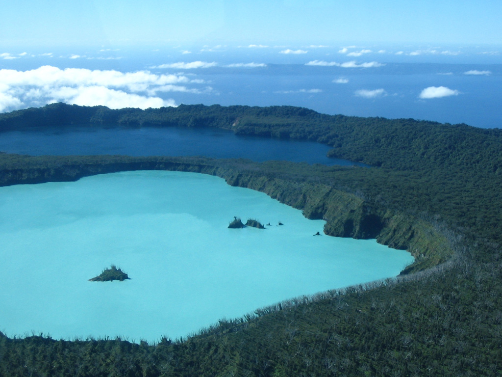
On 27 June the Vanuatu Meteorology and Geohazards Department (VMGD) reported that steam-and-gas emissions from the active vents at Ambae were ongoing during the previous month based on webcam and satellite images and field observations. Seismic data also confirmed ongoing unrest. The emissions contained ash and sulfur dioxide gas during 29-30 June based on satellite data. According to the Wellington VAAC ash plumes rose 2.4-3.4 km (8,000-11,000 ft) a.s.l. and drifted E, NE, W, and NW. Residents reported ashfall in areas downwind. The Alert Level remained at 2 (on a scale of 0-5), and the public was warned to stay outside of the Danger Zone, defined as a 2-km radius around the active vents in Lake Voui, and away from drainages during heavy rains.
Sources: Wellington Volcanic Ash Advisory Center (VAAC), Vanuatu Meteorology and Geohazards Department (VMGD)
|
Etna (Italy) | 26 June-2 July 2024 | New Activity / Unrest
 Cite this Report Cite this Report
|
 Etna Etna
Sicily Volcanic Province
|
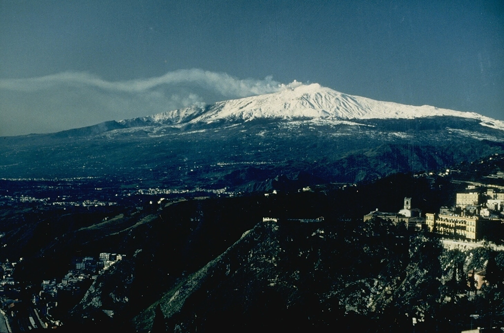
INGV reported that eruptive activity was recorded at Etna’s Bocca Nuova Crater, Southeast Crater, and Voragine Crater during the month of June. Gas emissions at Bocca Nuova Crater were variable and sometimes high-temperature pulses were visible as incandescent flashes at night. Occasional emissions of red ash were visible but quickly dissipated. At Southeast Crater fumarolic gas emissions rose from the E part of the cone and from the 2 April pit crater on the N crater rim. Diffuse ash emissions from the E vent were visible during 6-9 June. At Voragine Crater weak Strombolian activity began during 13-14 June at a vent located at the southern inner wall of a cinder cone formed during 2019-2021 activity. Initially explosions occurred about every 10 minutes and built small hornitos. Over a period of days, the material accumulated and formed a small scoria cone; Strombolian activity at two vents began to intensify on 26 June. The new cinder cone reached about 20 m high during 27-30 June. On 29 June lava from the SE side of the cone flowed into Bocca Nuova Crater and on 1 July a lava flow effused from a vent on the NW flank.
Source: Sezione di Catania - Osservatorio Etneo (INGV)
|
Home Reef (Tonga) | 26 June-2 July 2024 | New Activity / Unrest
 Cite this Report Cite this Report
|
 Home Reef Home Reef
Tofua Volcanic Arc
|
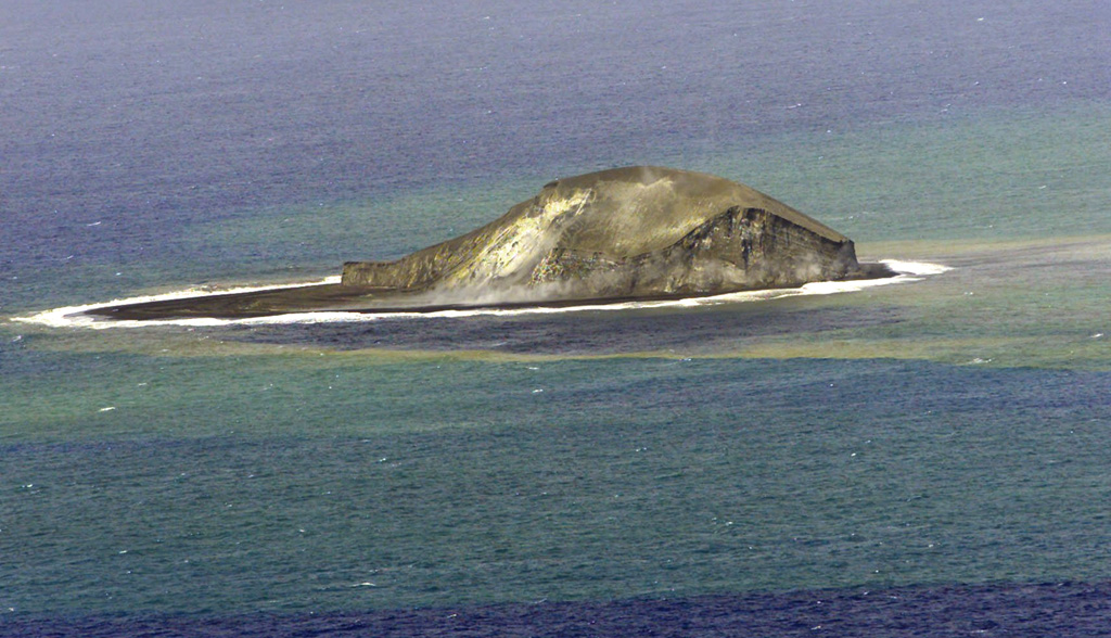
The Tonga Geological Services reported that an eruption at Home Reef was ongoing during 26 June-2 July. Daily thermal anomalies were identified in satellite images, though the number and intensity of the anomalies were variable. Continuous steam emissions were visible during 1-2 July, indicating ongoing activity. Lava effusion continued to expand the extent of the island, increasing from 8.9 hectares on 15 June to 11.7 hectares by 30 June. The Maritime Alert Level remained at Orange (the second highest level on a four-color scale) and mariners were advised to stay 4 km away from the island, the Aviation Color Code remained at Yellow (the second lowest color on a four-color scale), and the Alert level for residents of Vava’u and Ha’apai remained at Green (the lowest color on a four-color scale).
Source: Tonga Geological Services, Government of Tonga
|
Kanlaon (Philippines) | 26 June-2 July 2024 | New Activity / Unrest
 Cite this Report Cite this Report
|
 Kanlaon Kanlaon
Negros-Sulu Volcanic Arc
|
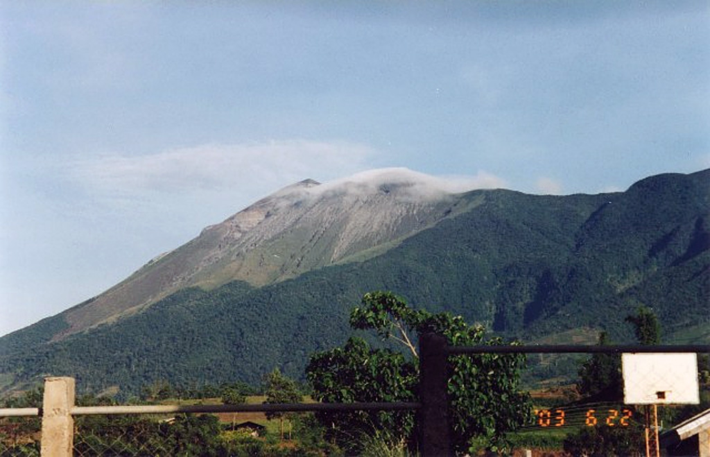
PHIVOLCS reported that daily diffuse gas-and-steam emissions at Kanlaon rose 100-150 m and drifted mainly NW, W, and SW during 25 June-2 July. Sulfur dioxide emissions averaged 2,774 tonnes/day (t/d) on 25 June, 3,299 t/d on 27 June, and peaked at 5,397 t/d on 28 June, the highest value recorded since instrumental gas monitoring began. Emissions averaged 3,007 t/d on 30 June and then peaked again at 5,083 t/d on 2 July, the second highest recorded value in 2024 and the third highest since monitoring began. PHIVOLCS noted that increased sulfur dioxide emissions had been recorded in 2024, averaging 1,897 t/d, though emission since the 3 June eruption were particularly elevated with a current average of 3,254 t/d. There were 1-14 daily volcanic earthquakes recorded by the seismic network; volcanic earthquake activity persisted at an average of 10 events/day since the 3 June eruption. The Alert Level remained at 2 (on a scale of 0-5) and PHIVOLCS reminded the public to remain outside of the 4-km-radius Permanent Danger Zone.
Source: Philippine Institute of Volcanology and Seismology (PHIVOLCS)
|
Karymsky (Russia) | 26 June-2 July 2024 | New Activity / Unrest
 Cite this Report Cite this Report
|
 Karymsky Karymsky
Eastern Kamchatka Volcanic Arc
|
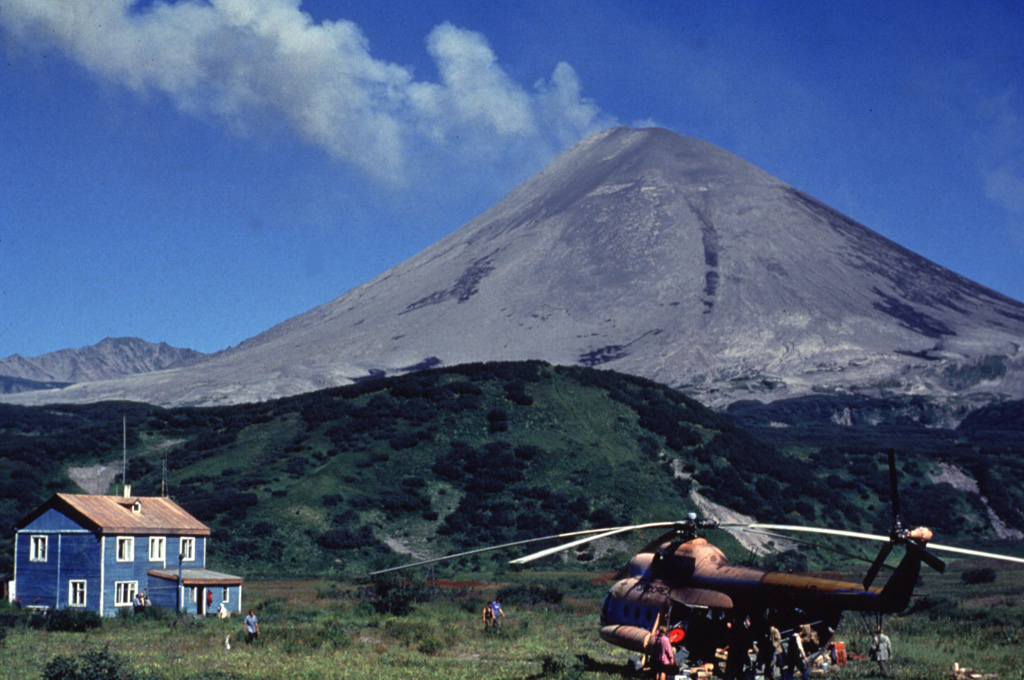
KVERT reported that explosive activity at Karymsky that started on 20 June continued through 27 June. Daily explosions generated ash plumes that rose as high as 6 km (19,700 ft) a.s.l. and drifted 540 km SE, S, SW, and W. A thermal anomaly was identified in satellite images during 20-21 and 24-27; dense weather clouds obscured views during 22-23 June. The Aviation Color Code remained at Orange (the third level on a four-color scale). Dates are based on UTC times; specific events are in local time where noted.
Source: Kamchatkan Volcanic Eruption Response Team (KVERT)
|
Aira (Japan) | 26 June-2 July 2024 | Continuing Activity Cite this Report Cite this Report |
 Aira Aira
Ryukyu Volcanic Arc
|
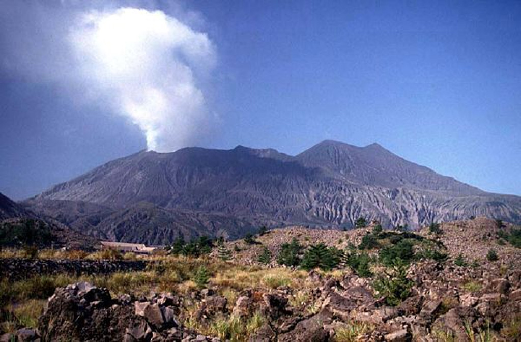
JMA reported ongoing eruptive activity at Minamidake Crater (Aira Caldera’s Sakurajima volcano) during 24 June-1 July. Nighttime crater incandescence and very small eruptive events were recorded during 24-28 June. Weather clouds prevented visual observations on the other days. The Alert Level remained at 3 (on a 5-level scale), and the public was warned to stay 1 km away from both craters.
Source: Japan Meteorological Agency (JMA)
|
Dukono (Indonesia) | 26 June-2 July 2024 | Continuing Activity Cite this Report Cite this Report |
 Dukono Dukono
Halmahera Volcanic Arc
|
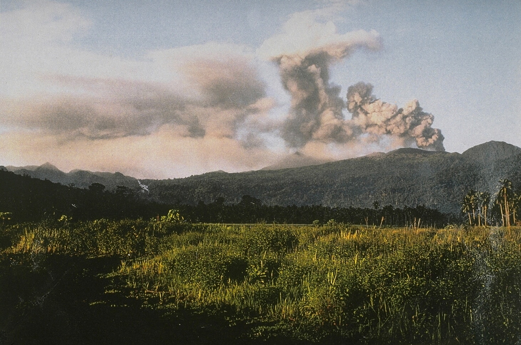
PVMBG reported that the eruption at Dukono was ongoing during 26 June-2 July. Daily gray-and-white ash plumes that were sometimes dense rose 100-1,000 m above the summit and drifted W, NW, and E. The Alert Level remained at Level 2 (on a scale of 1-4), and the public was warned to remain outside of the 3-km exclusion zone.
Source: Pusat Vulkanologi dan Mitigasi Bencana Geologi (PVMBG, also known as CVGHM)
|
Ebeko (Russia) | 26 June-2 July 2024 | Continuing Activity Cite this Report Cite this Report |
 Ebeko Ebeko
Kuril Volcanic Arc
|
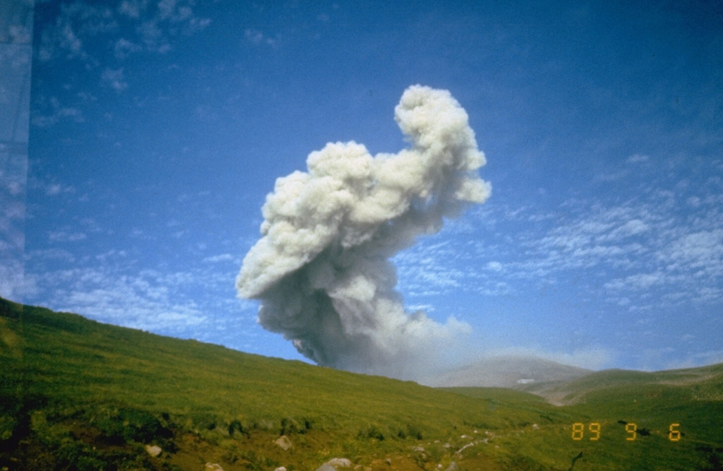
KVERT reported that moderate explosive activity was ongoing at Ebeko during 21-27 June. According to volcanologists in Severo-Kurilsk (Paramushir Island, about 7 km E), explosions on 25 and 27 June generated ash plumes that rose as high as 2 km (6,600 ft) a.s.l. and drifted S and SE. Thermal anomalies was identified in satellite images during 20-22, 24, and 27 June; on other days either no activity was observed or weather conditions prevented views. The Aviation Color Code remained at Orange (the third level on a four-color scale). Dates are UTC; specific events are in local time where noted.
Source: Kamchatkan Volcanic Eruption Response Team (KVERT)
|
Erta Ale (Ethiopia) | 26 June-2 July 2024 | Continuing Activity Cite this Report Cite this Report |
 Erta Ale Erta Ale
Afar Rift Volcanic Province
|
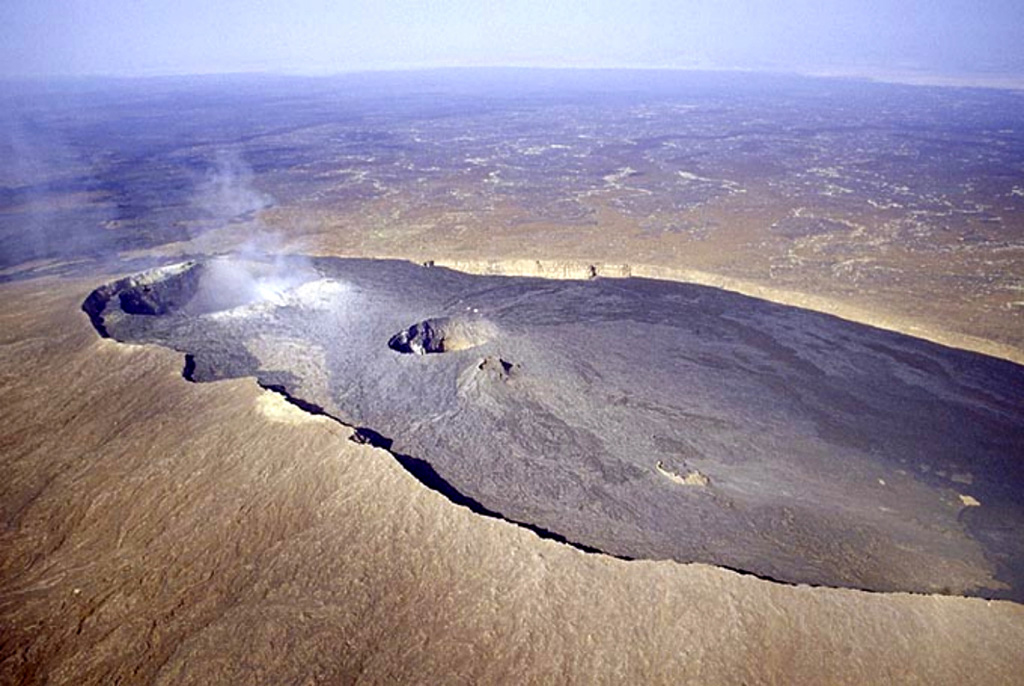
Thermal anomalies in a 1 July satellite image of Erta Ale suggested activity at a vent in the N pit crater and a lava flow that traveled about 320 m SSW.
Source: Copernicus
|
Fuego (Guatemala) | 26 June-2 July 2024 | Continuing Activity Cite this Report Cite this Report |
 Fuego Fuego
Central America Volcanic Arc
|
INSIVUMEH reported that eruptive activity continued at Fuego during 25 June-2 July. Daily explosions were recorded by the seismic network, averaging 1-7 per hour on most days, when counts were reported. The explosions generated gas-and-ash plumes that rose as high as 1.1 km above the crater rim and drifted as far as 30 km N, NW, W, and SW. The explosions produced block avalanches that descended various drainages including the Ceniza (SSW), Seca (W), Trinidad (S), and Las Lajas (SE), and Honda (E). Weak rumbling sounds and shock waves that rattled nearby houses and buildings within a 7-km radius were reported on most days. Ashfall was reported during the first half of the week in areas downwind including La Soledad (11 km N), Parramos (18 km NNE), Yepocapa (8 km NW), El Porvenir (11 km SW), Finca Palo Verde, Sangre de Cristo (8 km WSW), Quisaché (8 km NW), Pochuta (24 km WNW), Patulul (30 km W). Ashfall was forecast for areas downwind during the second half of the week. The explosions also ejected incandescent material up to 200 m above the summit on most days and crater incandescence could often be seen during the night or early mornings. On 28 June a lahar descended the Ceniza drainage, carrying tree branches, trunks, and blocks as large as 1.5 m in diameter.
Source: Instituto Nacional de Sismologia, Vulcanologia, Meteorologia, e Hidrologia (INSIVUMEH)
|
Great Sitkin (United States) | 26 June-2 July 2024 | Continuing Activity Cite this Report Cite this Report |
 Great Sitkin Great Sitkin
Aleutian Ridge Volcanic Arc
|
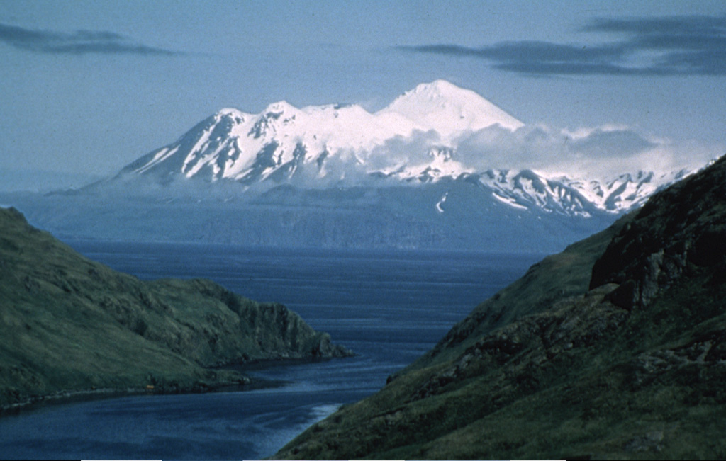
AVO reported that slow lava effusion in Great Sitkin’s summit crater was last confirmed in a 26 June radar image; effusion likely continued during 27 June-2 July. Seismicity was low with few daily small earthquakes recorded during 28 June-1 July. Weather clouds obscured satellite and webcam views during most of the week; slightly elevated surface temperatures were detected in satellite images during 30 June-2 July, indicating continuing effusion. The Volcano Alert Level remained at Watch (the third level on a four-level scale) and the Aviation Color Code remained at Orange (the third color on a four-color scale).
Source: US Geological Survey Alaska Volcano Observatory (AVO)
|
Ibu (Indonesia) | 26 June-2 July 2024 | Continuing Activity Cite this Report Cite this Report |
 Ibu Ibu
Halmahera Volcanic Arc
|
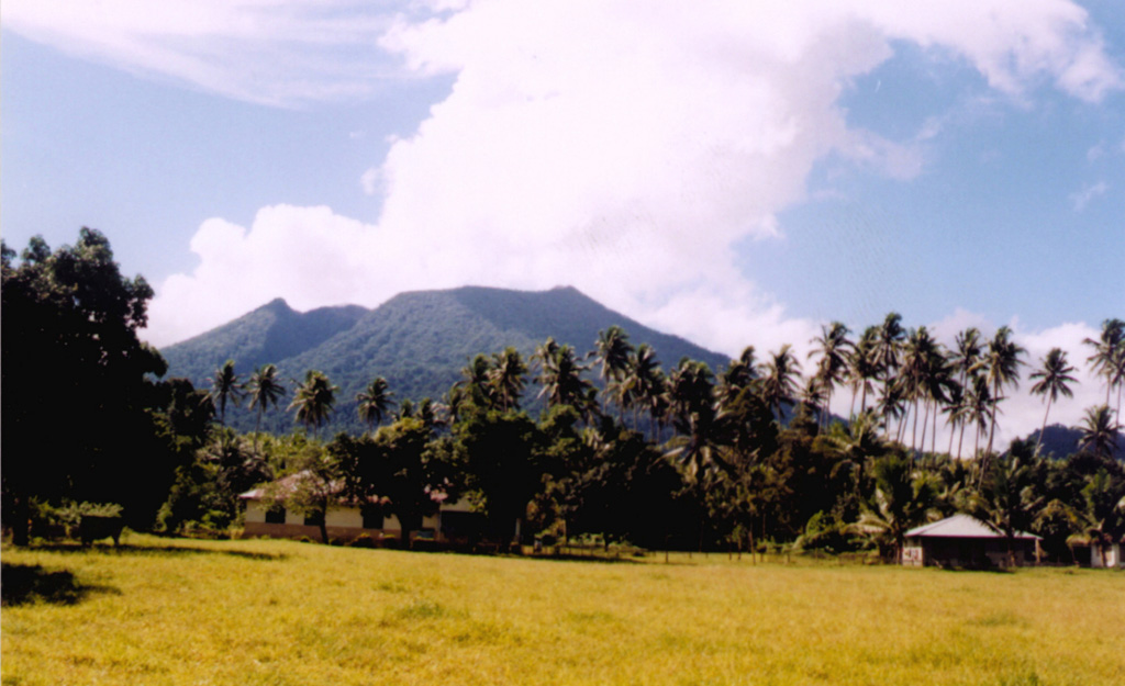
PVMBG reported that activity at Ibu continued during 26 June-2 July. Daily white-and-gray or white, gray, and black ash plumes rose as high as 5 km above the summit and drifted in multiple directions, though notably on 28 June ash plumes rose as high as 7 km above the summit. The Alert Level remained at 3 (the second highest level on a four-level scale) and the public was advised to stay 4 km away from the active crater and 5 km away from the N crater wall opening.
Source: Pusat Vulkanologi dan Mitigasi Bencana Geologi (PVMBG, also known as CVGHM)
|
Lateiki (Tonga) | 26 June-2 July 2024 | Continuing Activity Cite this Report Cite this Report |
 Lateiki Lateiki
Tofua Volcanic Arc
|
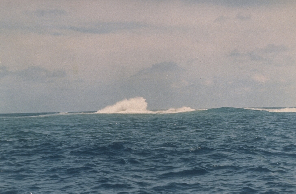
Satellite data showed an area of yellowish-green discolored water in the vicinity of the submarine Lateiki volcano on 25 and 30 June. The area of discolored water on 30 June was narrow and drifted about 7 km ENE before dissipating.
Source: Copernicus
|
Lewotobi (Indonesia) | 26 June-2 July 2024 | Continuing Activity Cite this Report Cite this Report |
 Lewotobi Lewotobi
Sunda Volcanic Arc
|
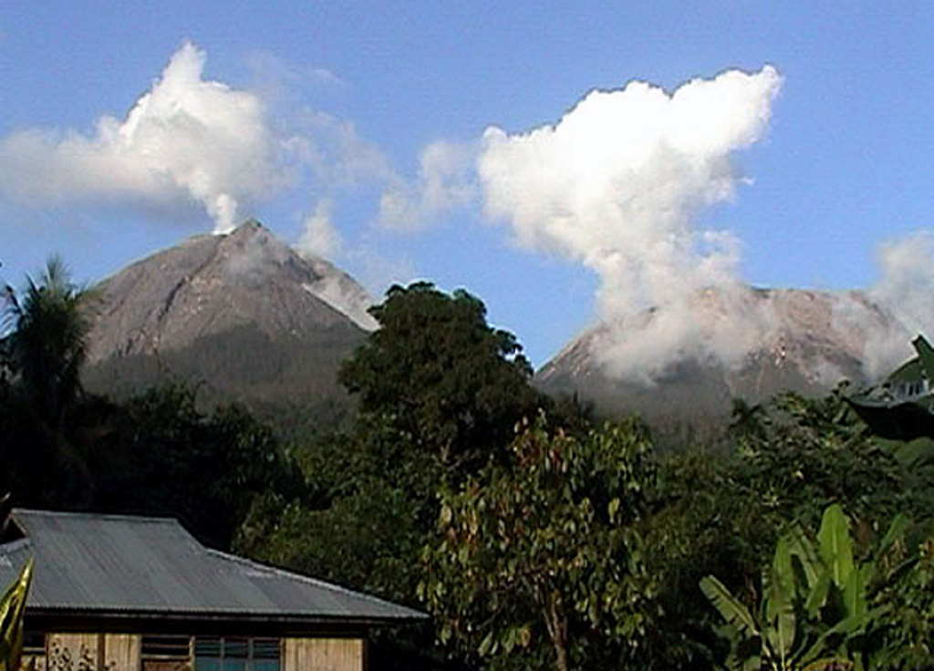
PVMBG reported that eruptive activity at Lewotobi’s Laki-laki volcano continued during 26 June-2 July. Multiple daily gray or white-and-gray ash plumes that were sometimes dense rose 50-1,000 m above the summit and drifted SW, W, and NW. An eruptive event that began at 1421 on 29 June lasted 10 minutes and 14 seconds based on the seismic data and produced a dense ash plume that rose around 900 m above the summit and drifted SW and W. According to a news article the Frans Seda Maumere Airport (60 km WSW) canceled flights from Kupang to Maumere on 2 July, though cancellations may have also occurred during the previous two days. Ashfall continued to impact residents in areas to the S and SW including Hokeng Jaya (4 km NW), Klatanlo (5 km NW), Persiapan Padang Pasir, Boru (8 km WNW), Pululera (6 km NW), Goloriang, Wotupudor, and Kumaebang. The Alert Level remained at 3 (the second highest level on a scale of 1-4) and the public was warned to stay outside of the exclusion zone, defined as a 3-km radius around both Laki-laki and Perempuan craters, 4 km to the NNW and SSE of Laki-laki.
Sources: Pusat Vulkanologi dan Mitigasi Bencana Geologi (PVMBG, also known as CVGHM), Antara News, Antara News
|
Lewotolok (Indonesia) | 26 June-2 July 2024 | Continuing Activity Cite this Report Cite this Report |
 Lewotolok Lewotolok
Sunda Volcanic Arc
|
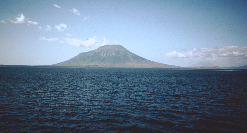
PVMBG reported that the eruption at Lewotolok continued during 26 June-2 July. White steam-and-gas emissions rose as high as 400 m above the summit and drifted N, NW, and W during 26-29 July. Emissions were not visible on 30 June. A white-and-gray ash plume rose as high as 300 m above the summit and drifted W and NW during 1-2 July. Summit incandescence was visible in webcam images during the week. The Alert Level remained at 2 (on a scale of 1-4) and the public was warned to stay 2 km away from the vent and 2.5 km away from the vent on the S, SE, and W flanks.
Source: Pusat Vulkanologi dan Mitigasi Bencana Geologi (PVMBG, also known as CVGHM)
|
Marapi (Indonesia) | 26 June-2 July 2024 | Continuing Activity Cite this Report Cite this Report |
 Marapi Marapi
Sunda Volcanic Arc
|
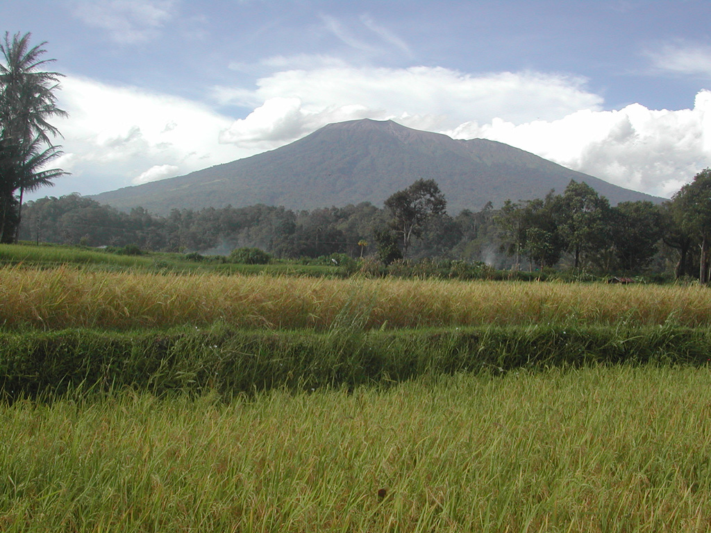
PVMBG reported that eruptive activity at Marapi (on Sumatra) was ongoing during 26 June-2 July. White gas-and-steam plumes rose as high as 300 m above the summit and drifted in multiple directions on 26 and 29 June and 2 July. Gray ash plumes rose 500 m above the summit and drifted SW on 28 June based on a Darwin VAAC report. Emissions were not observed on the other days. PVMBG noted that activity had generally declined during the previous two weeks. Seismic signals indicating eruptive events were at low levels, deformation data indicated deflation, and sulfur dioxide emissions were at low levels. At 1500 on 1 July the Alert Level was lowered to 2 (on a scale of 1-4), and the public was warned to stay 3 km away from the active crater.
Sources: Pusat Vulkanologi dan Mitigasi Bencana Geologi (PVMBG, also known as CVGHM), Darwin Volcanic Ash Advisory Centre (VAAC)
|
Merapi (Indonesia) | 26 June-2 July 2024 | Continuing Activity Cite this Report Cite this Report |
 Merapi Merapi
Sunda Volcanic Arc
|
BPPTKG reported that the eruption at Merapi (on Java) continued during 21-27 June. Seismicity had decreased compared to the previous week. The SW lava dome produced 86 lava avalanches that traveled as far as 2 km down the upper part of the Bebeng drainage on the SW flank. Morphological changes to the SW lava dome were due to continuing effusion and collapses of material. The Alert Level remained at 3 (on a scale of 1-4), and the public was warned to stay 3-7 km away from the summit, based on location.
Source: Balai Penyelidikan dan Pengembangan Teknologi Kebencanaan Geologi (BPPTKG)
|
Popocatepetl (Mexico) | 26 June-2 July 2024 | Continuing Activity Cite this Report Cite this Report |
 Popocatepetl Popocatepetl
Trans-Mexican Volcanic Arc
|
CENAPRED reported that eruptive activity continued at Popocatépetl during 25 June-2 July. The seismic network recorded 10-51 long-period events per day that were accompanied by steam-and-gas emissions; the emissions sometimes contained minor amounts of ash. Weather clouds sometimes prevented visual observations. The seismic network also recorded daily periods of tremor as short as 14 minutes to as long as five and a half hours. A M 1.5 volcano-tectonic earthquake was recorded during 28-29 June. According to the Washington VAAC ash plumes visible in webcam and satellite images rose to 5.8-6.4 km (19,000-21,000 ft) a.s.l. (or as high as 1 km above the crater rim) and drifted NW and SW during 29-30 June. The Alert Level remained at Yellow, Phase Two (the middle level on a three-color scale) and the public was warned to stay 12 km away from the crater.
Sources: Centro Nacional de Prevencion de Desastres (CENAPRED), Washington Volcanic Ash Advisory Center (VAAC)
|
Santa Maria (Guatemala) | 26 June-2 July 2024 | Continuing Activity Cite this Report Cite this Report |
 Santa Maria Santa Maria
Central America Volcanic Arc
|
INSIVUMEH reported that high-level eruptive activity continued at Santa Maria’s Santiaguito lava-dome complex during 25 June-2 July with lava extrusion, block collapses, and avalanches at the Caliente dome complex. The continuous effusion of blocky lava produced block avalanches on the dome’s flanks and occasional short pyroclastic flows that descended multiple flanks, creating promontories of unstable material. Incandescence from avalanches of material at the dome as well as explosions was visible during most nights and early mornings, and occasional incandescence was also present along the upper parts of the lava flow on the WSW flank. Lava extrusion fed the upper parts of the lava flow, and block avalanches occasionally traveled over the lava flow. Daily explosions (a few per hour on most days) generated gas-and-ash plumes that rose 700-900 m above the summit and drifted mainly NW, W, and SW. Ashfall was reported in San Marcos (8 km SW) and Loma Linda Palajunoj (7 km SW) during 26-27 June. Rain caused steam to rise from the lava flows in the Zanjón Seco (SW) and San Isidro (W) drainages during 29-30 June. On 1 July a lahar descended the Cabello de Ángel river, a tributary of the Nimá I, on the SE flank, carrying tree trunks, branches, and volcanic blocks up to 1 m in diameter. Weather conditions sometimes prevented visual observations.
Source: Instituto Nacional de Sismologia, Vulcanologia, Meteorologia, e Hidrologia (INSIVUMEH)
|
Semeru (Indonesia) | 26 June-2 July 2024 | Continuing Activity Cite this Report Cite this Report |
 Semeru Semeru
Sunda Volcanic Arc
|
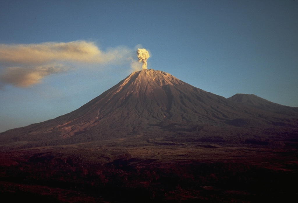
PVMBG reported that eruptive activity continued at Semeru during 23 June-2 July. Seismicity remained at high levels. Daily white-and-gray ash plumes that were sometimes dense rose 300-1,000 m above the summit and drifted mainly W and SW and occasionally S and SE. Daily eruptive events, sometimes several per day, were recorded by the seismic network, though plumes were not always visually confirmed. Incandescent lava avalanches occasionally descended the Kobokan drainage on the SE flank as far as 1.5 km during 23-30 June. The Alert Level remained at 3 (the third highest level on a scale of 1-4). The public was warned to stay at least 5 km away from the summit in all directions, 13 km from the summit to the SE, 500 m from the banks of the Kobokan drainage as far as 17 km from the summit, and to avoid other drainages including the Bang, Kembar, and Sat, due to lahar, avalanche, and pyroclastic flow hazards.
Source: Pusat Vulkanologi dan Mitigasi Bencana Geologi (PVMBG, also known as CVGHM)
|
Sheveluch (Russia) | 26 June-2 July 2024 | Continuing Activity Cite this Report Cite this Report |
 Sheveluch Sheveluch
Eastern Kamchatka Volcanic Arc
|
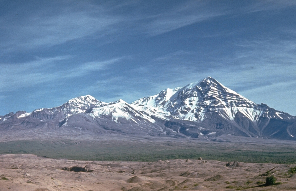
KVERT reported that thermal anomalies over both the “300 years of RAS” dome and the older lava dome at Sheveluch were identified in satellite images during 21-27 June. Both domes continued to grow. The Aviation Color Code remained at Orange (the third level on a four-color scale). Dates are based on UTC times; specific events are in local time where noted.
Source: Kamchatkan Volcanic Eruption Response Team (KVERT)
|
Suwanosejima (Japan) | 26 June-2 July 2024 | Continuing Activity Cite this Report Cite this Report |
 Suwanosejima Suwanosejima
Ryukyu Volcanic Arc
|
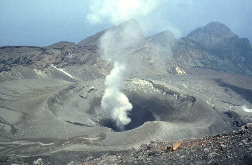
JMA reported that eruptive activity at Suwanosejima's Ontake Crater continued during 24 June-1 July and produced volcanic plumes that rose as high as 500 m above the crater rim. Crater incandescence was observed nightly in webcam images. No explosions were recorded. The Alert Level remained at 2 (on a 5-level scale) and the public was warned to stay at least 1.5 km away from the crater.
Source: Japan Meteorological Agency (JMA)
|
Taal (Philippines) | 26 June-2 July 2024 | Continuing Activity Cite this Report Cite this Report |
 Taal Taal
Luzon Volcanic Arc
|
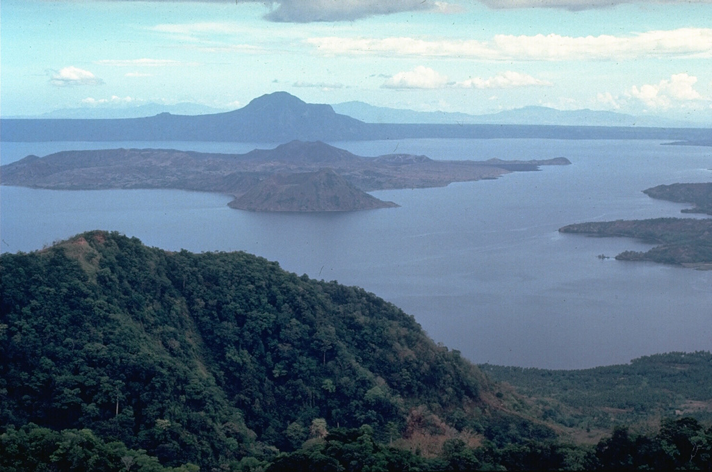
PHIVOLCS reported that daily steam-and-gas emissions were visible in webcam images rising as high as 1.8 km above the rim of Taal’s Main Crater and drifting SW, W, and NW during 25 June-2 July. Sulfur dioxide emissions averaged 5,100 tonnes per day (t/d) on 25 June, 6,571 t/d on 28 June, and 2,116 t/d on 1 July; the emissions were high, though below the 2024 average of 7,895 t/d. Phreatic events at 1431 and 1439 on 29 June each lasted one minute based on seismic and infrasound data, and generated steam-laden plumes that rose 800 m above Main Crater and drifted SW. The Alert Level remained at 1 (on a scale of 0-5), and PHIVOLCS reminded the public that the entire Taal Volcano Island was a Permanent Danger Zone (PDZ) and to take extra precaution around Main Crater and along the Daang Kastila fissure.
Source: Philippine Institute of Volcanology and Seismology (PHIVOLCS)
|
Villarrica (Chile) | 26 June-2 July 2024 | Continuing Activity Cite this Report Cite this Report |
 Villarrica Villarrica
Southern Andean Volcanic Arc
|
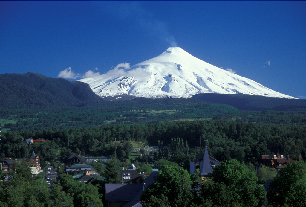
SERNAGEOMIN reported that at 0428 on 25 June an explosion at Villarrica ejected incandescent material onto the upper flanks. According to POVI a series of phreatomagmatic pulses on 29 June produced an ash plume that drifted E and deposited ash on the E flank. The Volcanic Alert Level remained at Yellow (the second lowest level on a four-level scale) and the public was warned to stay 500 m away from the active crater.
Sources: Servicio Nacional de Geología y Minería (SERNAGEOMIN), Proyecto Observación Villarrica Internet (POVI)
|
Yasur (Vanuatu) | 26 June-2 July 2024 | Continuing Activity Cite this Report Cite this Report |
 Yasur Yasur
Vanuatu Volcanic Arc
|
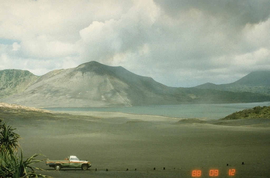
On 27 June the Vanuatu Meteorology and Geohazards Department (VMGD) reported that activity at Yasur continued at a level of “major unrest,” as defined by the Alert Level 2 status (on a scale of 0-5). Recent visual observations, webcam mages, and photos taken in the field indicated that explosions continued, producing emissions of gas, steam, and/or ash. Seismic data indicated that some of the explosions were strong. Gas emissions and thermal anomalies were identified in satellite images. The report warned that some of the explosions may eject material that falls in and around the crater. The public was reminded to not enter the restricted area within 600 m around the boundaries of the Permanent Exclusion Zone, defined by Danger Zone A on the hazard map.
Source: Vanuatu Meteorology and Geohazards Department (VMGD)
|
![]() Download Smithsonian / USGS Weekly Volcanic Activity Report Network Link
Download Smithsonian / USGS Weekly Volcanic Activity Report Network Link
 Ambae
Ambae Etna
Etna Home Reef
 Kanlaon
 Karymsky
 Aira
Aira Dukono
 Ebeko
Ebeko Erta Ale
 Fuego
Fuego Great Sitkin
 Ibu
Ibu Lateiki
 Lewotobi
 Lewotolok
 Marapi
 Merapi
 Popocatepetl
 Santa Maria
 Semeru
 Sheveluch
 Suwanosejima
 Taal
Taal Villarrica
 Yasur
Yasur