Etna (Italy) | 10 July-16 July 2024 | New Activity / Unrest
 Cite this Report Cite this Report
|
 Etna Etna
Sicily Volcanic Province
|
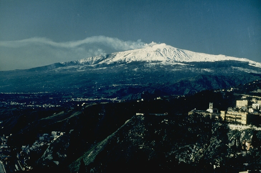
Sezione di Catania - Osservatorio Etneo (INGV) reported that an eruption at Etna continued during 8-14 July. The eruption was characterized by a gradual increase of Strombolian activity within the Voragine Crater on 10 July, and ash emissions on 11 July. The Toulouse VAAC issued advisories for an ash emission that rose about 1 km above the summit (12,000 ft a.s.l.) and drifted S. After a few days of decreased activity, explosions gradually increased in the NE Crater (NEC) and Voragine on 14 July, generating ash emissions that quickly dispersed above the craters; light ash emissions continued afterwards from both craters. The amplitude of volcanic tremor rapidly fluctuated between medium and high levels. Signal locations shifted from an area just E of the Voragine crater to the SE Crater area on 12 July, and then shifted again to the NEC area on 14 July.
Sources: Sezione di Catania - Osservatorio Etneo (INGV), Toulouse Volcanic Ash Advisory Centre (VAAC)
|
Ijen (Indonesia) | 10 July-16 July 2024 | New Activity / Unrest
 Cite this Report Cite this Report
|
 Ijen Ijen
Sunda Volcanic Arc
|
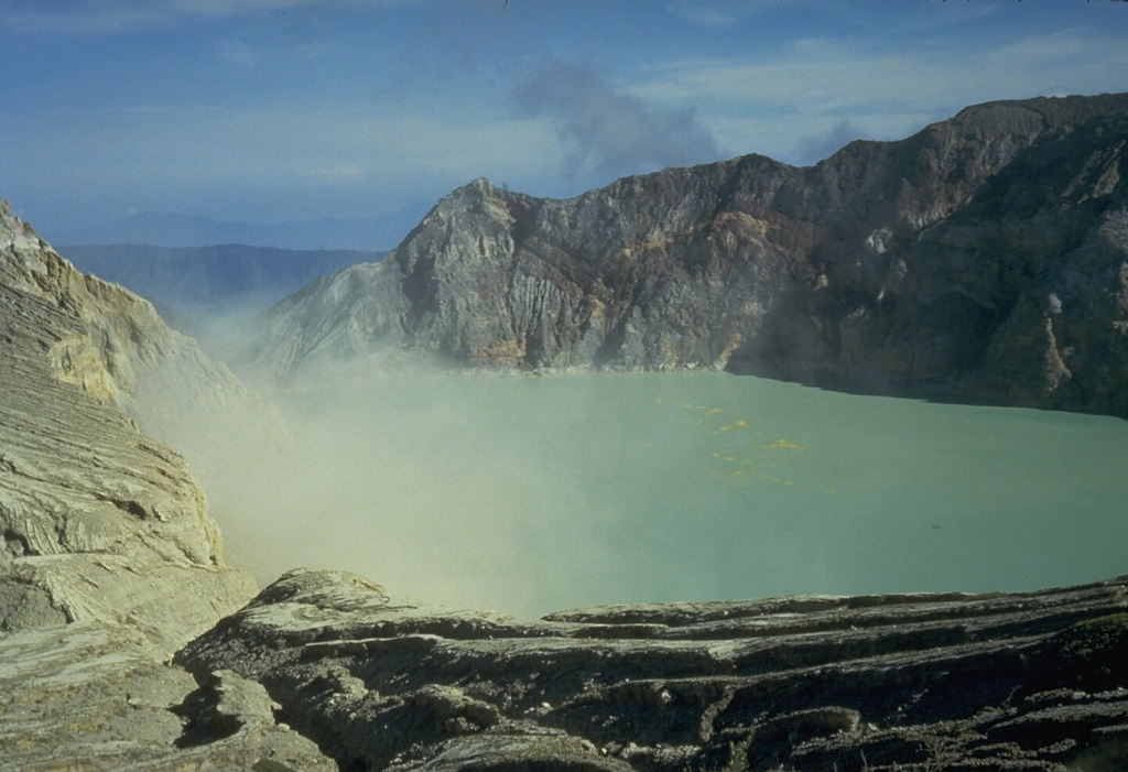
Pusat Vulkanologi dan Mitigasi Bencana Geologi (PVMBG) raised the Alert Level at Ijen from 1 to 2 (on a scale of 1-4) at 2200 on 12 July (local time). The recommended exclusion zone radius was expanded from 500 to 1,500 m away from the crater due to a notable increase in seismic energy, as well as an increase in continuous tremor amplitudes. Realtime seismic amplitude measurement (RSAM) analysis has shown that seismic energy has slowly increased since 1 January 2023. However, a significant increase in energy was observed from 1700 through 2100 on 12 July, along with an increase in continuous tremor amplitudes starting at 2110. From 1 June through 12 July there was a decreasing trend in the number of both shallow volcanic earthquakes (Type B/vulkanik dangkal) and deep volcanic earthquakes (Type A/vulkanik dalam), while the number of other types of earthquakes fluctuated normally. On 30 June the surface temperature of the crater lake water was 34°C, which falls within the normal range. Weak to moderate fumarolic activity was observed, characterized by dense white emissions. The color of the water appeared turquoise green, as usual, with no visible gas bubbles on the surface of the lake. The smell of sulfur gas was moderately strong, and sulfur spherules were observed at the edge of the crater lake. White emissions were observed rising 50-100 m above the summit on 10, 12-13, and 16 July, and 50-200 m on 14 July. Emission observations were not reported on 11 or 15 July. Seismicity during 10-16 July included daily gas emission events and continuous tremor, volcanic earthquakes during 13-16 July, and a volcano-tectonic (VT) earthquake on 16 July. PVMBG reminded the public to stay vigilant of the potential for poisonous gases emanating from the crater lake.
Source: Pusat Vulkanologi dan Mitigasi Bencana Geologi (PVMBG, also known as CVGHM)
|
Karymsky (Russia) | 10 July-16 July 2024 | New Activity / Unrest
 Cite this Report Cite this Report
|
 Karymsky Karymsky
Eastern Kamchatka Volcanic Arc
|
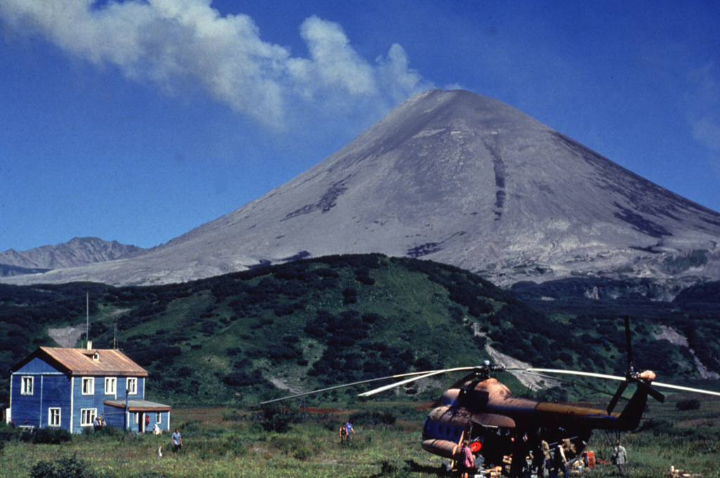
The Kamchatka Volcanic Eruption Response Team (KVERT) reported that moderate explosive activity continued at Karymsky during 4-11 July. Satellite data analyzed by KVERT showed that explosions on 5-7 and 10 July generated ash plumes that rose about 2.5 km above the summit (to 4 km a.s.l.) and drifted as far as 80 km NE and E. Additionally, a thermal anomaly was observed over the volcano during 5-7 and 10 July; weather clouds prevented observations in satellite images on the other days. The Aviation Color Code remained at Orange (the third level on a four-color scale). Dates are reported in UTC; specific events are in local time where noted.
Source: Kamchatkan Volcanic Eruption Response Team (KVERT)
|
Matthew Island (France - claimed by Vanuatu) | 10 July-16 July 2024 | New Activity / Unrest
 Cite this Report Cite this Report
|
 Matthew Island Matthew Island
Vanuatu Volcanic Arc
|
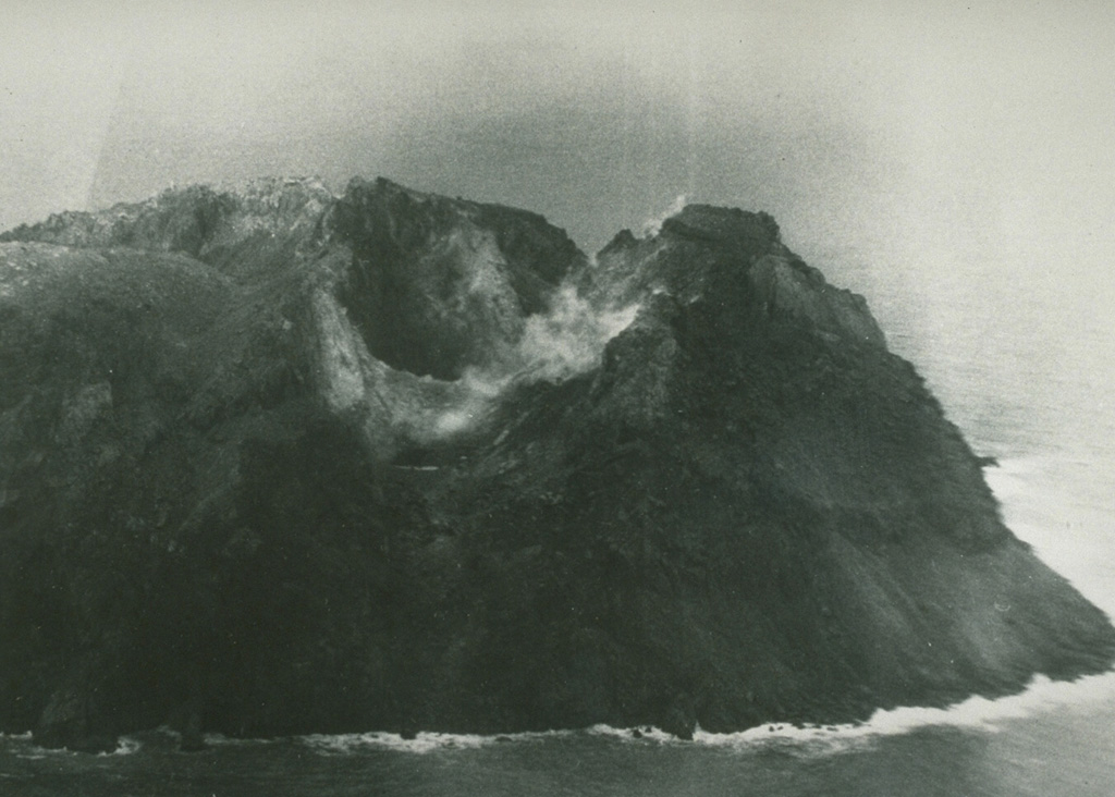
Pilots reported small low-level eruptions at Matthew Island, about 440 km E of the southern end of New Caledonia, at 0409 and 2150 on 16 July (UTC). However, ash was not visible in satellite data for either event.
Source: Wellington Volcanic Ash Advisory Center (VAAC)
|
Stromboli (Italy) | 10 July-16 July 2024 | New Activity / Unrest
 Cite this Report Cite this Report
|
 Stromboli Stromboli
Aeolian Volcanic Arc
|
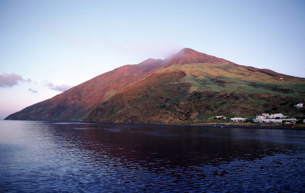
Istituto Nazionale di Geofisica e Vulcanologia (INGV) reported that eruptive activity continued at Stromboli during 8-14 July. Lava flows that started on 4 July from two eruptive vents, located at approximately 485 and 510 m a.s.l. along the Sciara del Fuoco, had ended by 12 July.
Starting at around 1208 on 11 July (UTC), a series of explosive events over about 8 minutes generated pyroclastic flows that rapidly descended to the shoreline and continued into and across the surface of the sea. The first explosion took place in Area C-S, releasing moderately hot ash. Another explosion from Area N then created an eruption column that reached approximately 5 km above sea level and dispersed towards the WSW. Almost simultaneously, a pyroclastic flow descended along the Sciara del Fuoco and reached the coastline in about 23 seconds, traveling at a speed of approximately 58 m/s. The sequence concluded with a series of secondary pyroclastic flows between 1210 and 1215. Both effusive and explosive activities ceased within hours after these events, except for a single final explosion at 0828 on 12 July that triggered a small landslide from the exterior of the N crater.
Thermal anomalies with high-level thermal flux values (greater than 100 MW) were identified in satellite images during both the effusive and explosive activity. The thermal flux values slightly increased at 1157 on 11 July, about 11 minutes before the explosion sequence, and then dropped at 1352 (SEVIRI sensor onboard the Meteosat Second Generation satellite). Dipartimento della Protezione Civile maintained the Alert Level at Red (the highest level on a four-level scale).
Sources: Sezione di Catania - Osservatorio Etneo (INGV), Dipartimento della Protezione Civile
|
Whakaari/White Island (New Zealand) | 10 July-16 July 2024 | New Activity / Unrest
 Cite this Report Cite this Report
|
 Whakaari/White Island Whakaari/White Island
Taupo Volcanic Arc
|
GeoNet reported moderate emissions of steam, gas, and minor ash at Whakaari/White Island during 10-12 July. The continuous, moderate emissions rose from an enlarged vent on the crater floor where the crater lake has almost disappeared. The intermittent observations of ash were thought to originate from the walls of the vent eroded by vigorous degassing, and do not represent new eruptive activity; no ash was detected in the plume outside of the crater. The Volcanic Alert Level remained at 2 (on a scale of 0-5) and the Aviation Color Code remained at Yellow (the second level on a four-color scale).
Source: GeoNet
|
Aira (Japan) | 10 July-16 July 2024 | Continuing Activity Cite this Report Cite this Report |
 Aira Aira
Ryukyu Volcanic Arc
|
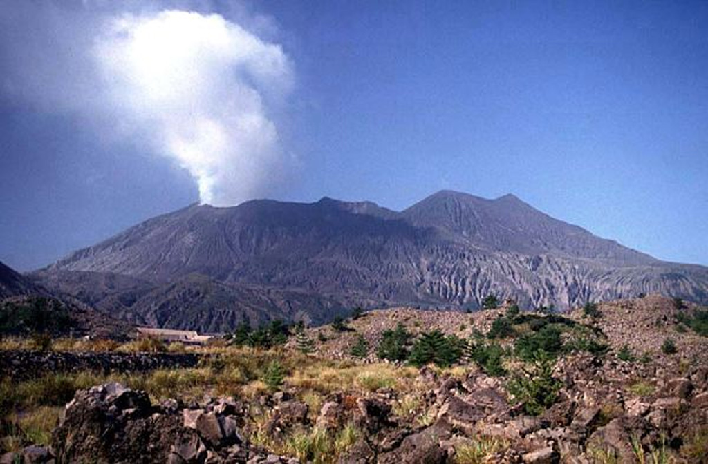
Japan Meteorological Agency (JMA) reported ongoing eruptive activity at Minamidake Crater (Aira Caldera’s Sakurajima volcano) during 8-15 July. Nighttime crater incandescence was visible. An explosion at 2123 on 10 July produced an ash plume that rose 2.3 km above the crater rim and drifted E, and also ejected large blocks up to 1.1 km from the vent. An explosion at 1819 on 14 July produced an ash plume that rose 4.5 km above the crater rim and drifted NE, with large blocks ejected up to 1.4 km from the vent. The Alert Level remained at 3 (on a 5-level scale), and the public was warned to stay 1 km away from both craters.
Source: Japan Meteorological Agency (JMA)
|
Ebeko (Russia) | 10 July-16 July 2024 | Continuing Activity Cite this Report Cite this Report |
 Ebeko Ebeko
Kuril Volcanic Arc
|
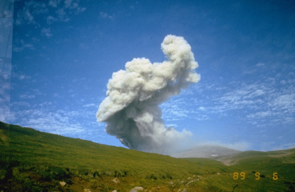
The Kamchatka Volcanic Eruption Response Team (KVERT) reported that moderate explosive activity was ongoing at Ebeko during 4-11 July. Webcam images showed explosions on 5 and 7 July that generated ash plumes that rose about 1.9 km above the summit (to 3 km a.s.l.); satellite data confirmed the ash plume drifted as far as 30 km NE. A thermal anomaly was observed over the volcano during 5-7 July in satellite images analyzed by KVERT; weather clouds prevented views on the other days. The Aviation Color Code remained at Orange (the third level on a four-color scale). Dates are reported in UTC; specific events are in local time where noted.
Source: Kamchatkan Volcanic Eruption Response Team (KVERT)
|
Fuego (Guatemala) | 10 July-16 July 2024 | Continuing Activity Cite this Report Cite this Report |
 Fuego Fuego
Central America Volcanic Arc
|
Instituto Nacional de Sismología, Vulcanologia, Meteorologia e Hidrología (INSIVUMEH) reported that eruptive activity continued at Fuego during 10-16 July. Daily explosions were recorded by the seismic network, ranging from 2-11 explosions per hour. The explosions generated gas-and-ash plumes that rose as high as 1.1 km above the crater rim and drifted as far as 30 km in multiple directions. The explosions produced block avalanches that descended various drainages including the Ceniza (SSW), Seca (W), Taniluyá (SW), Trinidad (SSW), and Las Lajas (SE), and Honda (E), and often reached vegetated areas. Weak rumbling sounds and shock waves were reported on most days. Ashfall was reported on 10, 12, 14, and 16 July in areas downwind including Panimaché I and II (8 km SW) Finca Paloverde (10 km SW), El Porvenir (10 km S), Santa Sofia (12 km SW), Sangre de Cristo (10 km SW), Morelia (10 km SW), Los Yucales (12 km SW), Yepocápa (8 km NW), and other nearby communities. Ashfall was forecast for areas downwind on some of the other days. The explosions also ejected incandescent material up to 100 m above the summit during 10-11 and 13-16 July. On 12 July lahars descended the Las Lajas, Seca, and Mineral drainages, carrying tree branches, trunks, and blocks as large as 1.5 m in diameter.
Source: Instituto Nacional de Sismologia, Vulcanologia, Meteorologia, e Hidrologia (INSIVUMEH)
|
Great Sitkin (United States) | 10 July-16 July 2024 | Continuing Activity Cite this Report Cite this Report |
 Great Sitkin Great Sitkin
Aleutian Ridge Volcanic Arc
|
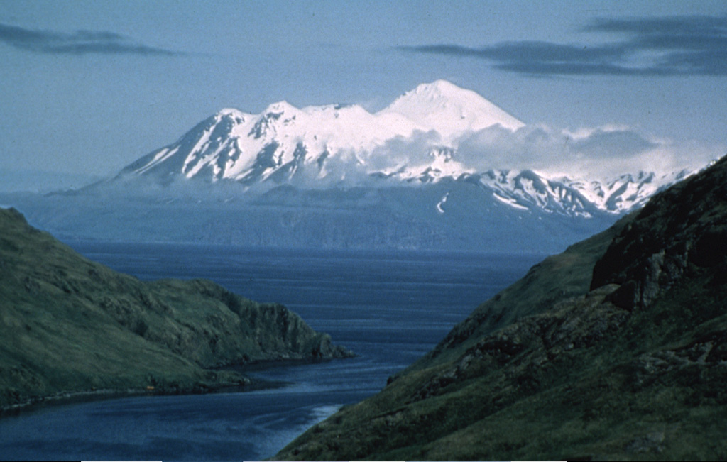
Alaska Volcano Observatory (AVO) reported that slow lava effusion in Great Sitkin’s summit crater likely continued during 10-16 July. Seismicity was low with few daily small earthquakes recorded by the seismic network. Daily clear webcam views showed minor steaming from the active lava flow, and on 15 July elevated surface temperatures were detected by satellite. The Volcano Alert Level remained at Watch (the third level on a four-level scale) and the Aviation Color Code remained at Orange (the third color on a four-color scale).
Source: US Geological Survey Alaska Volcano Observatory (AVO)
|
Ibu (Indonesia) | 10 July-16 July 2024 | Continuing Activity Cite this Report Cite this Report |
 Ibu Ibu
Halmahera Volcanic Arc
|
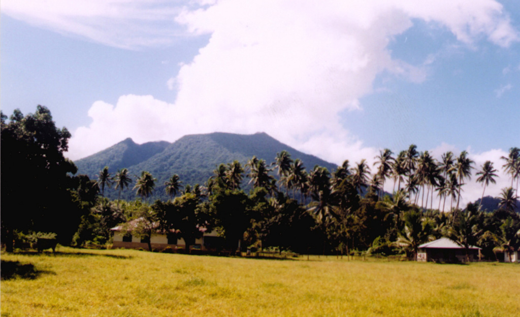
Pusat Vulkanologi dan Mitigasi Bencana Geologi (PVMBG) reported continuing activity at Ibu during 10-16 July. Emissions were observed daily; white and gray, gray, and sometimes gray-to-black plumes rose as high as 2 km above the summit. Seismicity included harmonic tremor episodes, frequent gas emission signals, and 2-52 daily explosion events. The Alert Level remained at 3 (the second highest level on a four-level scale) and the public was advised to stay 4 km away from the active crater and 5 km away from the N crater wall opening.
Source: Pusat Vulkanologi dan Mitigasi Bencana Geologi (PVMBG, also known as CVGHM)
|
Kanlaon (Philippines) | 10 July-16 July 2024 | Continuing Activity Cite this Report Cite this Report |
 Kanlaon Kanlaon
Negros-Sulu Volcanic Arc
|
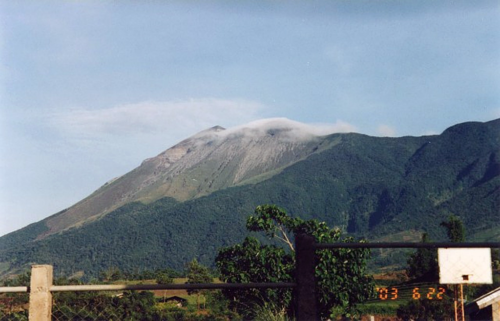
Philippine Institute of Volcanology and Seismology (PHIVOLCS) reported that moderate emissions at Kanlaon rose 100-400 m and drifted in several directions during 11-16 July. Sulfur dioxide emissions were as high as 2,556 tonnes per day measured on 13 July. There were 2-19 daily volcanic earthquakes recorded by the seismic network. The Alert Level remained at 2 (on a scale of 0-5) and PHIVOLCS reminded the public to remain outside of the 4-km-radius Permanent Danger Zone.
Source: Philippine Institute of Volcanology and Seismology (PHIVOLCS)
|
Lewotobi (Indonesia) | 10 July-16 July 2024 | Continuing Activity Cite this Report Cite this Report |
 Lewotobi Lewotobi
Sunda Volcanic Arc
|
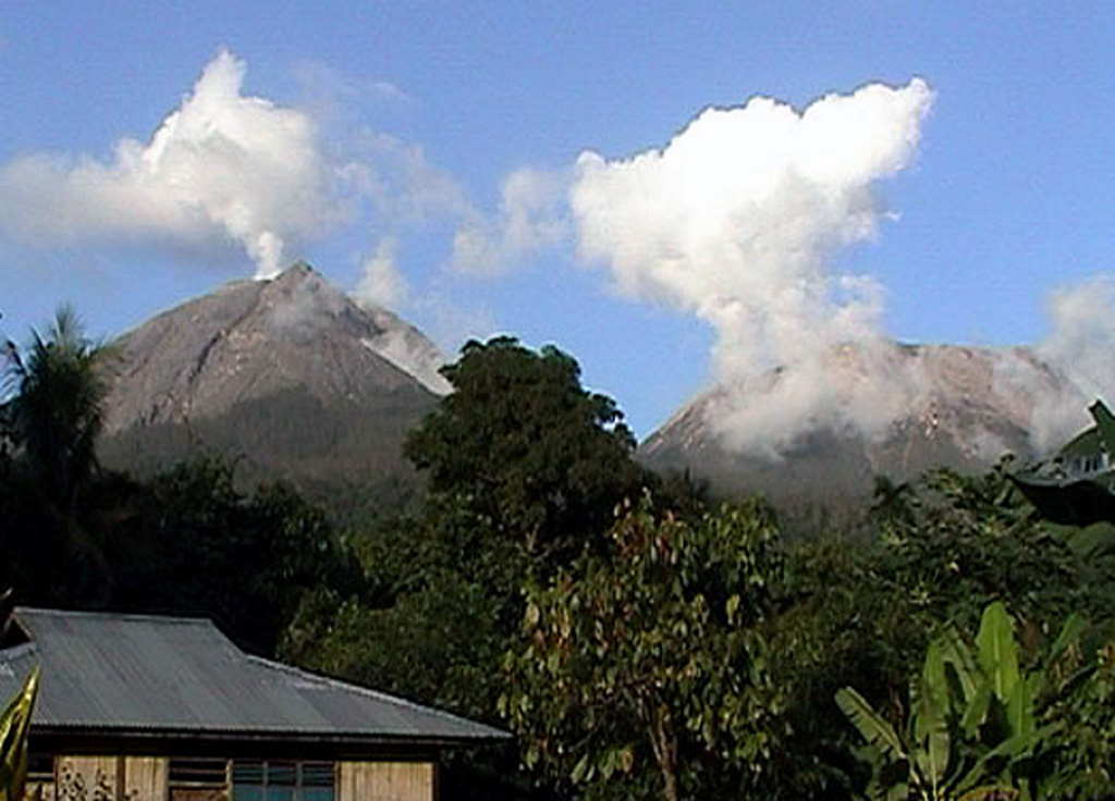
Pusat Vulkanologi dan Mitigasi Bencana Geologi (PVMBG) reported that eruptive activity at Lewotobi Laki-laki continued during 10-16 July. Emissions rose 50-1,000 m above the summit during each day; emissions were described as white and gray on 10, 12, and 16 July, and gray on 11 and 13-15 July. Seismicity included frequent gas emission signals, volcanic earthquakes, rockfall events, low-frequency (LF) earthquakes, and 5-8 daily explosive events. The Alert Level remained at 3 (the second highest level on a scale of 1-4) and the public was warned to stay outside of the exclusion zone, defined as a 3-km radius around both Laki-laki and Perempuan craters, 4 km to the NNW and SSE of Laki-laki.
Source: Pusat Vulkanologi dan Mitigasi Bencana Geologi (PVMBG, also known as CVGHM)
|
Lewotolok (Indonesia) | 10 July-16 July 2024 | Continuing Activity Cite this Report Cite this Report |
 Lewotolok Lewotolok
Sunda Volcanic Arc
|
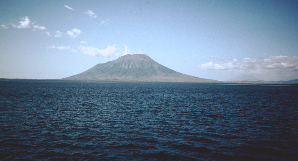
Pusat Vulkanologi dan Mitigasi Bencana Geologi (PVMBG) reported continuing activity at Lewotolok during 10-16 July. White emissions were observed daily, reaching heights of up to 300 m above the summit. Seismicity included frequent gas emission signals, non-harmonic tremor, and volcanic earthquakes. Crater incandescence was observed in webcam images during most nights. The Alert Level remained at 2 (on a scale of 1-4) and the public was warned to stay 2 km away from the vent and 2.5 km away on the S, SE, and W flanks.
Source: Pusat Vulkanologi dan Mitigasi Bencana Geologi (PVMBG, also known as CVGHM)
|
Marapi (Indonesia) | 10 July-16 July 2024 | Continuing Activity Cite this Report Cite this Report |
 Marapi Marapi
Sunda Volcanic Arc
|
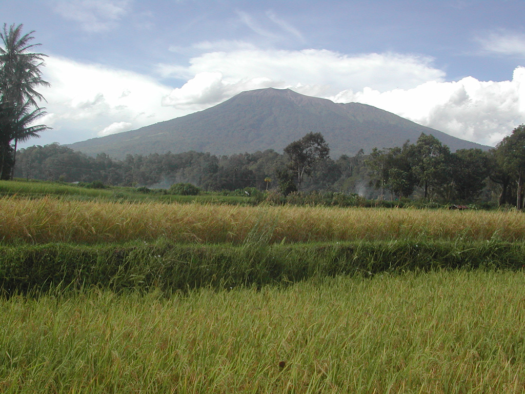
Pusat Vulkanologi dan Mitigasi Bencana Geologi (PVMBG) reported that eruptive activity at Marapi (on Sumatra) was ongoing during 10-16 July. On 10 July at 1656 a VONA was issued. Gray emissions rose 1,000 m above the summit and drifted NE. White gas-and-steam plumes rose 100-300 m above the summit and drifted multiple directions during 11, 13, and 16 July. Emissions were not observed on the other days. The Alert Level remained at 2 (on a scale of 1-4), and the public was warned to stay 3 km away from the active crater.
Source: Pusat Vulkanologi dan Mitigasi Bencana Geologi (PVMBG, also known as CVGHM)
|
Merapi (Indonesia) | 10 July-16 July 2024 | Continuing Activity Cite this Report Cite this Report |
 Merapi Merapi
Sunda Volcanic Arc
|
Balai Penyelidikan dan Pengembangan Teknologi Kebencanaan Geologi (BPPTKG) reported that the eruption at Merapi (on Java) continued during 5-11 July. On 7 July white emissions rose 700 m above the summit. The SW lava dome produced 131 lava avalanches that traveled as far as 2.0 km down the upper part of the Bebeng drainage on the SW flank and as far as 900 m down the Boyong drainage on the S flank. One pyroclastic flow descended the SW flank as far as 1.3 km. Morphological changes to the SW lava dome were due to continuing effusion and collapses of material. Seismicity increased in intensity compared to the previous week. The Alert Level remained at 3 (on a scale of 1-4), and the public was warned to stay 3-7 km away from the summit, based on location.
Source: Balai Penyelidikan dan Pengembangan Teknologi Kebencanaan Geologi (BPPTKG)
|
Nevado del Ruiz (Colombia) | 10 July-16 July 2024 | Continuing Activity Cite this Report Cite this Report |
 Nevado del Ruiz Nevado del Ruiz
Northern Andean Volcanic Arc
|
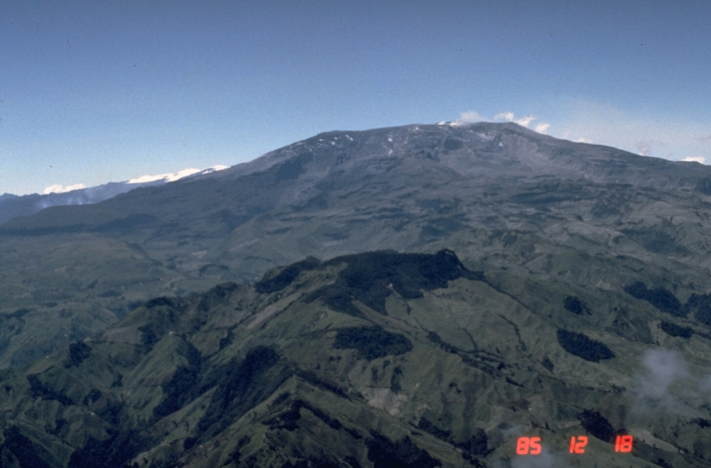
Servicio Geológico Colombiano’s (SGC) Observatorio Vulcanológico y Sismológico de Manizales reported that eruptive activity at Nevado del Ruiz continued during 9-15 July. The number of seismic events associated with fluid movement decreased in both magnitude and number compared to the previous week but were variable throughout the week. Through webcams and visual observations by officials at Parque Nacional Natural de Los Nevados, several as emissions associated with these events were confirmed. Seismicity associated with rock fracturing decreased in the number of events but maintained similar magnitudes compared to the previous week; these earthquakes at depths of 1-7 km below the summit were primarily located within 4 km of Arenas Crater and the NE sector. The largest events were M 1.2 which were detected at 0319 on 13 July (about 1 km NW and 2 km deep) and 1222 on 14 July (to the N and 4 km deep). Seismic signals indicating lava-dome activity increased but remained of short duration and low energy level. Sulfur dioxide emissions were variable, and gas plumes rose as high as 1.5 km above the crater rim and drifted NW, W, and WSW. Thermal anomalies on the crater floor were identified in satellite data, though weather conditions often inhibited views. The Alert Level remained at Yellow (the second level on a four-level scale), and the public was warned to stay out of the restricted areas around Arenas Crater.
Source: Servicio Geológico Colombiano (SGC)
|
Popocatepetl (Mexico) | 10 July-16 July 2024 | Continuing Activity Cite this Report Cite this Report |
 Popocatepetl Popocatepetl
Trans-Mexican Volcanic Arc
|
Centro Nacional de Prevención de Desastres (CENAPRED) reported that eruptive activity continued at Popocatépetl during 10-16 July. Daily activity consisted of 5-22 long-period (LP) events that were accompanied by emissions of gas, steam, and small quantities of ash. Additionally, volcano-tectonic (VT) earthquakes were registered on 11, 12, and 16 July. The most significant VT earthquake was a M1.9 that occurred at 0905 on 16 July. Continuous gas-and-steam emissions were observed on some mornings; plumes dispersed towards the WSW and WNW. The Alert Level remained at Yellow, Phase Two (the middle level on a three-color scale) and the public was warned to stay at least 12 km away from the crater.
Source: Centro Nacional de Prevencion de Desastres (CENAPRED)
|
Sabancaya (Peru) | 10 July-16 July 2024 | Continuing Activity Cite this Report Cite this Report |
 Sabancaya Sabancaya
Central Andean Volcanic Arc
|
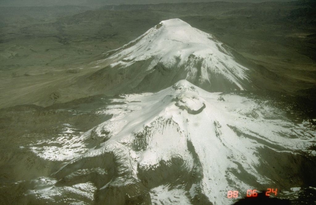
Instituto Geofísico del Perú (IGP) reported that moderate levels of eruptive activity continued at Sabancaya during 9-14 July. A daily average of 55 explosions were recorded, ejecting ash-and-gas emissions as high as 2.2 km above the summit. The emissions dispersed as far as 10 km in the E and SE directions. Seismicity also included a total of 393 earthquakes associated with magma and gas movement, as well as earthquakes related to rock-fracturing processes inside or near the volcano. Slight inflation of the N sector of the volcano complex continued (near Nevado Hualca Hualca, located approximately 7 km N). Sulfur dioxide (SO2) emissions were classified as moderate, with an average of 525 tons per day. Additionally, a combined total of 31 thermal anomalies were detected by both the MIROVA monitoring system and the NASA FIRMS monitoring system in the area of the lava dome within the crater (with a maximum value of 25 MW). The Alert Level remained at Orange (the third level on a four-color scale) and the public was reminded to stay at least 12 km away from the summit crater in all directions.
Source: Instituto Geofísico del Perú (IGP)
|
Santa Maria (Guatemala) | 10 July-16 July 2024 | Continuing Activity Cite this Report Cite this Report |
 Santa Maria Santa Maria
Central America Volcanic Arc
|
Instituto Nacional de Sismología, Vulcanologia, Meteorologia e Hidrología (INSIVUMEH) reported that high-level eruptive activity continued at Santa Maria’s Santiaguito lava-dome complex during 10-16 July with lava extrusion, block collapses, and avalanches at the Caliente dome complex. The continuous effusion of blocky lava produced block avalanches on the dome’s flanks and occasional short-range pyroclastic flows that descended multiple flanks. During most nights and early mornings incandescence was visible around Caliente dome and along the upper parts of the lava flow on the WSW flank. Lava extrusion fed the upper parts of the lava flow, and block avalanches occasionally traveled over the lava flow. Daily explosions (a few per hour on most days) generated gas-and-ash plumes that rose 700-900 m above the summit and drifted mainly NW, W, and SW. Ashfall was reported in San Marcos (8 km SW) and Loma Linda Palajunoj (7 km SW) on 14 July. On 10 July a lahar descended the Tambor river in the SSW sector of the volcano carrying tree trunks, branches, and volcanic blocks up to 1 m in diameter. Weather conditions sometimes prevented visual observations.
Source: Instituto Nacional de Sismologia, Vulcanologia, Meteorologia, e Hidrologia (INSIVUMEH)
|
Semeru (Indonesia) | 10 July-16 July 2024 | Continuing Activity Cite this Report Cite this Report |
 Semeru Semeru
Sunda Volcanic Arc
|
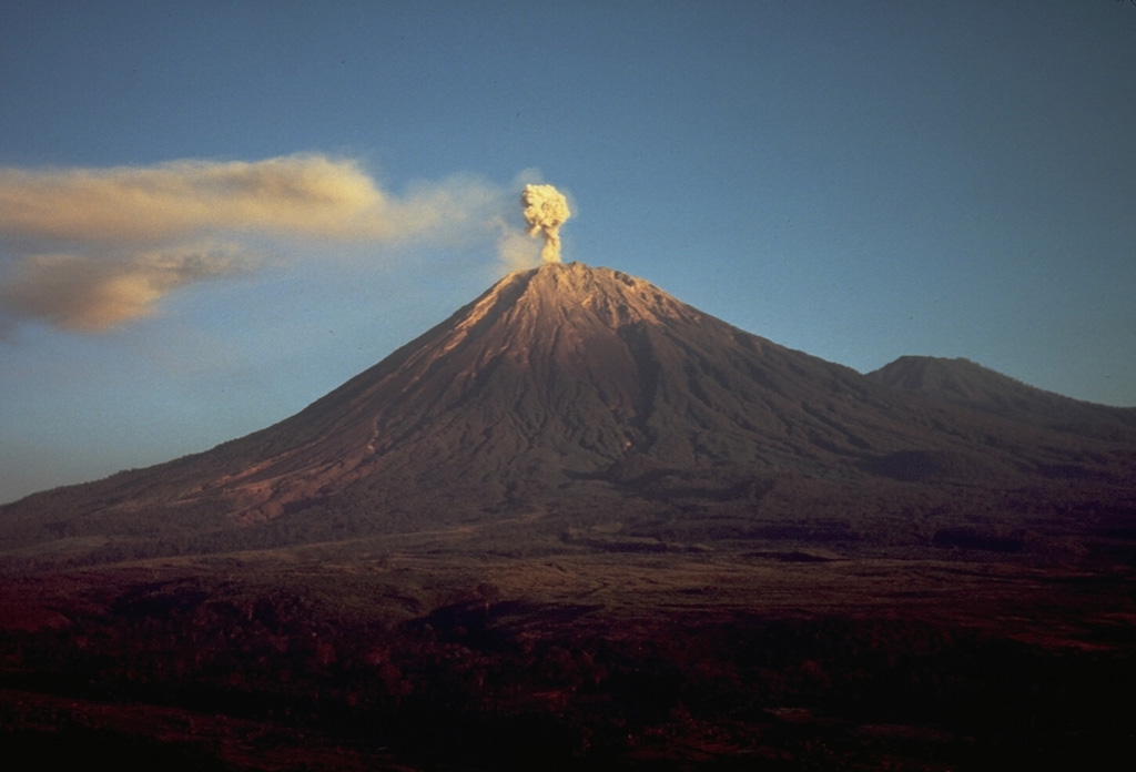
Pusat Vulkanologi dan Mitigasi Bencana Geologi (PVMBG) reported that eruptive activity decreased at Semeru during 10-16 July. Daily eruptive events, sometimes several per day, were recorded by the seismic network though plumes were not always visually confirmed; plumes rose as high as 800 m above the summit and drifted primarily SW and W. On 15 July the Alert Level decreased from 3 to 2 (on a scale of 1-4). The public was warned to stay at least 3 km away from the summit in all directions, 8 km from the summit to the SE, 500 m from the banks of the Kobokan drainage as far as 13 km from the summit, and to avoid other drainages including the Bang, Kembar, and Sat, due to lahar, avalanche, and pyroclastic flow hazards.
Source: Pusat Vulkanologi dan Mitigasi Bencana Geologi (PVMBG, also known as CVGHM)
|
Sheveluch (Russia) | 10 July-16 July 2024 | Continuing Activity Cite this Report Cite this Report |
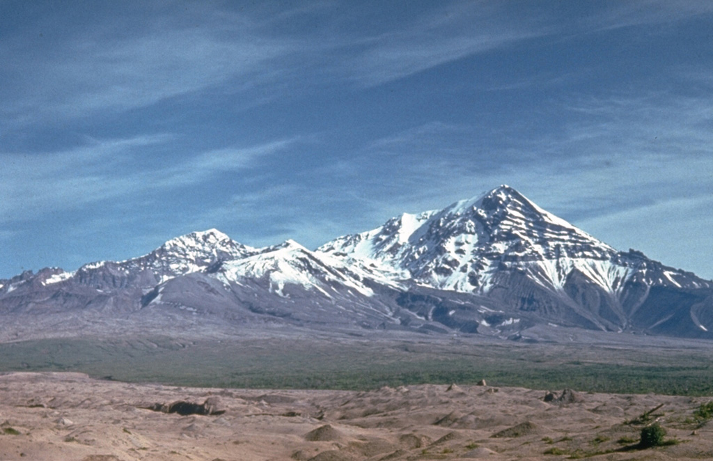 Sheveluch Sheveluch
Eastern Kamchatka Volcanic Arc
|
The Kamchatka Volcanic Eruption Response Team (KVERT) reported that eruptive activity at Sheveluch continued during 4-11 July. Vigorous degassing activity accompanied the effusive eruption in the crater of Young Sheveluch, as well as the growth of the "300 years of RAS" lava dome on the SW flank of Old Sheveluch. Thermal anomalies were observed in both areas on 5-8 and 11 July in satellite images analyzed by KVERT. The Aviation Color Code remained at Orange (the third level on a four-color scale). Dates are reported in UTC; specific events are in local time where noted.
Source: Kamchatkan Volcanic Eruption Response Team (KVERT)
|
Taal (Philippines) | 10 July-16 July 2024 | Continuing Activity Cite this Report Cite this Report |
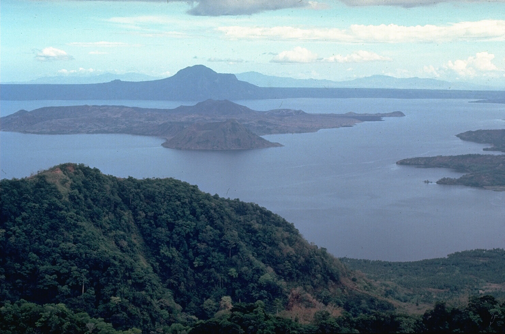 Taal Taal
Luzon Volcanic Arc
|
Philippine Institute of Volcanology and Seismology (PHIVOLCS) reported that daily moderately dense to dense emissions rose as high as 2.4 km above the rim of Taal’s Main Crater and drifted several directions. Sulfur dioxide emissions peaked at 11,745 tonnes per day (t/d) on 11 July, but by 15 July were back below the 2024 average of 7,895 t/d at 5,236 t/d. A phreatic event on 13 July lasted one minute based on seismic and infrasound data, and generated emissions that rose 1.5 km above Main Crater and drifted SW. The Alert Level remained at 1 (on a scale of 0-5), and PHIVOLCS reminded the public that the entire Taal Volcano Island was a Permanent Danger Zone (PDZ) and to take extra precaution around Main Crater and along the Daang Kastila fissure.
Source: Philippine Institute of Volcanology and Seismology (PHIVOLCS)
|
Tungurahua (Ecuador) | 10 July-16 July 2024 | Continuing Activity Cite this Report Cite this Report |
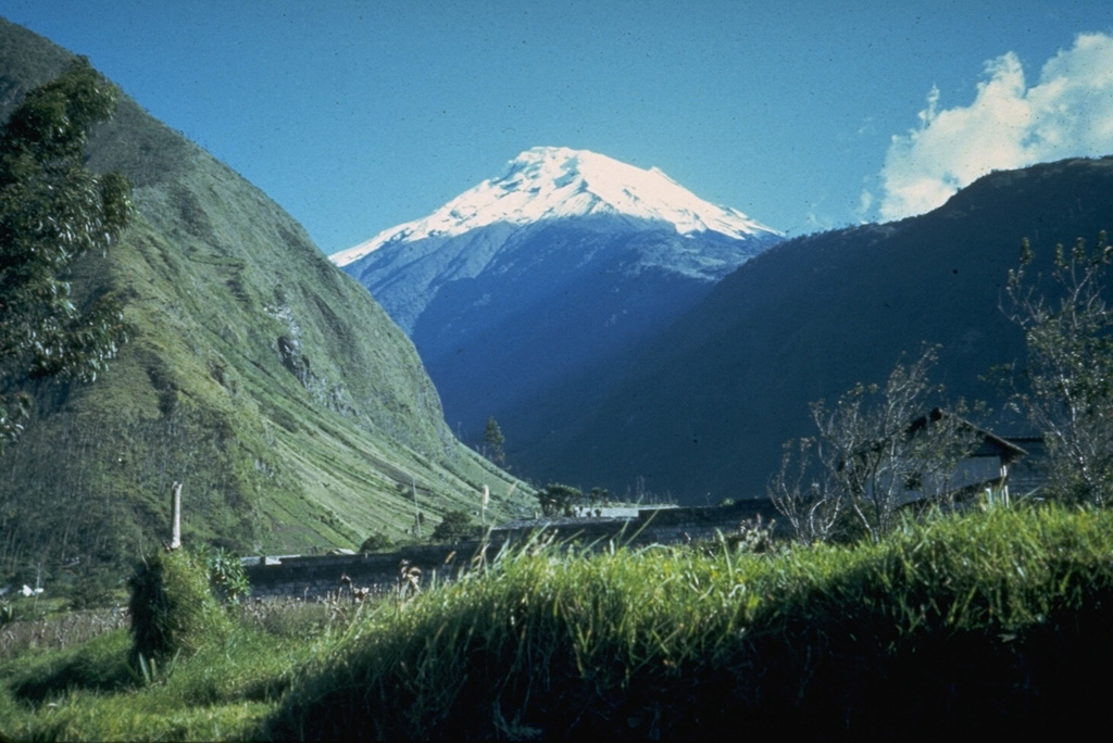 Tungurahua Tungurahua
Northern Andean Volcanic Arc
|
Instituto Geofísico-Escuela Politécnica Nacional (IG-EPN) reported that seismic stations installed at Tungurahua recorded high-frequency signals that may be associated with the descent of lahars through the volcano's ravines, particularly given that rain was confirmed in the area. IG-EPN advised people to stay away from channels, streams, and rivers near the volcano.
Source: Instituto Geofísico-Escuela Politécnica Nacional (IG-EPN)
|
Villarrica (Chile) | 10 July-16 July 2024 | Continuing Activity Cite this Report Cite this Report |
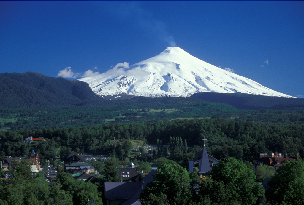 Villarrica Villarrica
Southern Andean Volcanic Arc
|
Servicio Nacional de Geología y Minería (SERNAGEOMIN) reported that an energetic explosion, more significant than the usual Strombolian events at Villarrica, ejected ballistics up to 500 m above the crater rim and as far as 1,400 m along the WNW flank (near the head of Correntoso valley) at 2104 on 10 July. The explosion also generated a column of ash and gas that reached over 600 m above the crater rim and was accompanied by a long-period (LP) earthquake. Following the explosion, the seismic energy levels remained low. However, infrasound observations suggest recurrent lava lake activity, with temporal variations in the level of activity. The volcano is currently exhibiting a heightened level of activity that exceeds its usual baseline. This includes signs of energetic instability that surpass the typical Strombolian activity usually recorded, with no precursory activity. The hazard zone radius was expanded from 500 to 2,000 m from the center of the crater as of 1130 on 12 July.
Sources: Servicio Nacional de Geología y Minería (SERNAGEOMIN), Servicio Geológico Minero Argentino (SEGEMAR)
|
![]() Download Smithsonian / USGS Weekly Volcanic Activity Report Network Link
Download Smithsonian / USGS Weekly Volcanic Activity Report Network Link
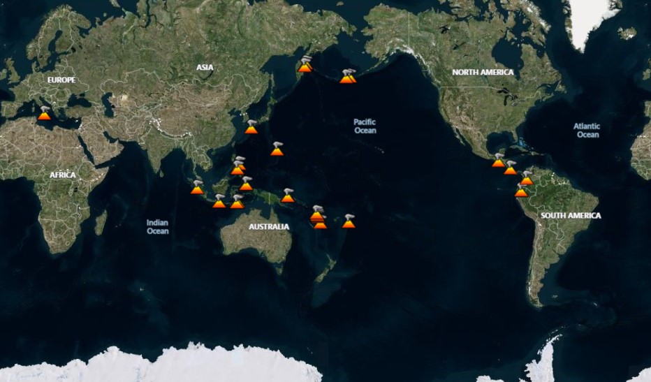
 Etna
Etna Ijen
Ijen Karymsky
 Matthew Island
 Stromboli
 Whakaari/White Island
 Aira
Aira Ebeko
Ebeko Fuego
Fuego Great Sitkin
 Ibu
Ibu Kanlaon
 Lewotobi
 Lewotolok
 Marapi
 Merapi
 Nevado del Ruiz
 Popocatepetl
 Sabancaya
 Santa Maria
 Semeru
 Sheveluch
 Taal
Taal Tungurahua
 Villarrica