Ahyi (United States) | 27 December-2 January 2024 | Continuing Activity Cite this Report Cite this Report |
 Ahyi Ahyi
Mariana Volcanic Arc
|
A plume of discolored water in the vicinity of Ahyi Seamount was observed in satellite images on 1 January. The plume possibly signified underwater volcanic activity but that interpretation could not be confirmed because pressure sensors at Wake Island were not operational; more distant sensors did not record any activity. Both the Aviation Color Code and the Volcano Alert Level remained at Unassigned.
Source: US Geological Survey
|
Aira (Japan) | 27 December-2 January 2024 | Continuing ActivityCite this Report |
 Aira Aira
Ryukyu Volcanic Arc
|
JMA reported ongoing activity at Minamidake Crater (Aira Caldera’s Sakurajima volcano) during 25 December 2023-1 January 2024, with incandescence at the crater observed nightly. Small eruptive events were occasionally recorded during the week. The Alert Level remained at 3 (on a 5-level scale), and the public was warned to stay 2 km away from both craters.
Source: Japan Meteorological Agency (JMA)
|
Ambae (Vanuatu) | 27 December-2 January 2024 | Continuing ActivityCite this Report |
 Ambae Ambae
Vanuatu Volcanic Arc
|
On 28 December the Vanuatu Meteorology and Geohazards Department (VMGD) reported that steam-and-gas emissions at Ambae were ongoing based on satellite images. Ashfall was reported in the N parts of the island during 19-21 December, coincident with strong SE trade winds. The Alert Level remained at 2 (on a scale of 0-5) and the public was warned to stay outside of the Danger Zone, defined as a 2-km radius around the active vents in Lake Voui, and away from drainages during heavy rains.
Source: Vanuatu Meteorology and Geohazards Department (VMGD)
|
Bulusan (Philippines) | 27 December-2 January 2024 | Continuing ActivityCite this Report |
 Bulusan Bulusan
Eastern Philippine Volcanic Arc
|
In a special advisory, PHIVOLCS reported that from 2100 on 29 December 2023 to 2100 on 2 January 2024 the seismic network at Bulusan recorded a total of 116 volcanic earthquakes. Out of those, 110 were volcano-tectonic events associated with rock fracturing at depths of 2-6 km beneath the S flank of the volcano; the other six were low-frequency events associated with fluid movement. Gas emissions from the summit crater were at weak-to-moderate levels. Ground deformation data from electronic tiltmeter stations continued to record inflation at the S flank since February 2023. The Alert Level remained at 1 (the second level on a scale of 0-5) and PHIVOLCS reminded the public not to enter the 4-km-radius Permanent Danger Zone (PDZ) and to be vigilant within the 2-km Extended Danger Zone (EDZ) on the SE flank.
Source: Philippine Institute of Volcanology and Seismology (PHIVOLCS)
|
Dukono (Indonesia) | 27 December-2 January 2024 | Continuing ActivityCite this Report |
 Dukono Dukono
Halmahera Volcanic Arc
|
PVMBG reported that the eruption at Dukono was ongoing during 27 December 2023-2 January 2024. Daily, dense, white-and-gray ash-and-gas plumes rose 700-2,800 m above the summit and drifted N, W, and SW. The Alert Level remained at Level 2 (on a scale of 1-4), and the public was warned to remain outside of the 2-km exclusion zone.
Source: Pusat Vulkanologi dan Mitigasi Bencana Geologi (PVMBG, also known as CVGHM)
|
Ebeko (Russia) | 27 December-2 January 2024 | Continuing ActivityCite this Report |
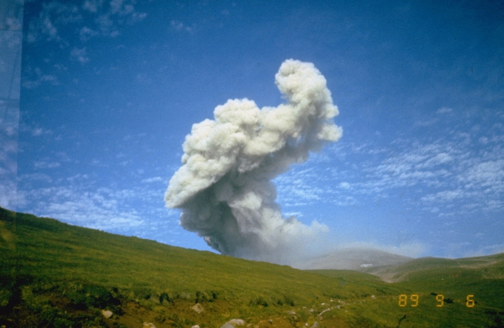 Ebeko Ebeko
Kuril Volcanic Arc
|
KVERT reported that moderate explosive activity was ongoing at Ebeko during 21-28 December. According to volcanologists in Severo-Kurilsk (Paramushir Island, about 7 km E), explosions during 22-23 and 25-26 December generated ash plumes that rose as high as 4 km (13,100 ft) a.s.l and drifted E. The Aviation Color Code remained at Orange (the third level on a four-color scale). Dates are UTC; specific events are in local time where noted.
Source: Kamchatkan Volcanic Eruption Response Team (KVERT)
|
Fuego (Guatemala) | 27 December-2 January 2024 | Continuing ActivityCite this Report |
 Fuego Fuego
Central America Volcanic Arc
|
INSIVUMEH reported that eruptive activity continued at Fuego during 27 December 2023-2 January 2024. Explosions were recorded daily, averaging 5-20 per hour on most days where counts were reported. The explosions generated ash-and-gas plumes that rose as high as 1.2 km above the crater rim and drifted as far as 30 km NW, N, NE, and E. Ashfall was reported on most of the days in areas downwind including Alotenango (8 km ENE), Ciudad Vieja (14 km NE), Parramos (18 km NNE), Sumpango (25 km NE), San Lucas (28 km NE), Sacatepéquez (18 km ENE), La Reunión (7 km SE), Alotenango (8 km ENE), La Antigua (18 km NE), San Miguel Dueñas (10 km NE), El Rodeo (10 km SSE), El Porvenir (8 km ENE), and San Cayetano. Weak rumbling sounds and shock waves were recorded daily and shook structures within a 10-km radius. Explosions caused daily block avalanches that descended various drainages including the Ceniza (SSW), Seca (W), Taniluyá (SW), and Las Lajas (SE). The explosions ejected incandescent material 200-300 m above the summit on most of the days.
Source: Instituto Nacional de Sismologia, Vulcanologia, Meteorologia, e Hidrologia (INSIVUMEH)
|
Great Sitkin (United States) | 27 December-2 January 2024 | Continuing ActivityCite this Report |
 Great Sitkin Great Sitkin
Aleutian Ridge Volcanic Arc
|
AVO reported that a 24 December radar image of Great Sitkin showed continuing growth of a thick flow in the summit crater; effusion likely continued during 27 December 2023-2 January 2024. Weather clouds often obscured views of the volcano. Minor steaming from the active flow field was identified in a webcam images during a break in cloud cover during 31 December-1 January. Seismicity was low. The Volcano Alert Level remained at Watch (the third level on a four-level scale) and the Aviation Color Code remained at Orange (the third color on a four-color scale).
Source: US Geological Survey Alaska Volcano Observatory (AVO)
|
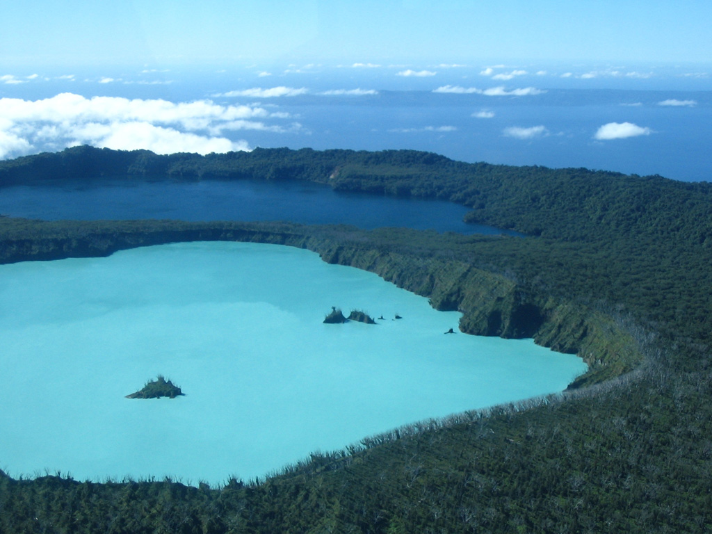
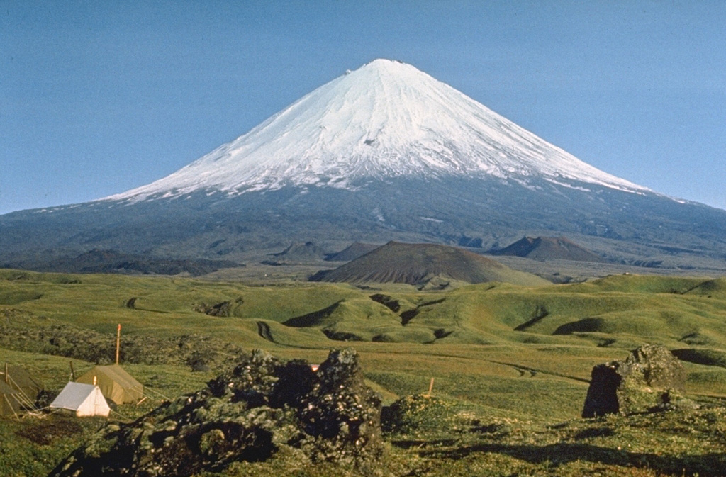
Heard (Australia) | 27 December-2 January 2024 | Continuing ActivityCite this Report |
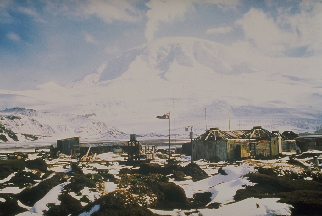 Heard Heard
Kerguelen Hotspot Volcano Group
|
A 29 December satellite image of Heard Island’s Big Ben volcano showed a thermal anomaly at the summit that was elongated to the SW. The anomaly narrowed and terminated at an area that was about 1 km from the summit, suggesting the presence of a lava flow.
Source: Sentinel Hub
|
Ibu (Indonesia) | 27 December-2 January 2024 | Continuing ActivityCite this Report |
 Ibu Ibu
Halmahera Volcanic Arc
|
PVMBG reported that Ibu continued to erupt during 27-31 December. Daily white-and-gray ash emissions that were sometimes dense rose 200-800 m above the summit and drifted SE and S. The Alert Level remained at a 2 (the second highest level on a four-level scale), with the public advised to stay outside of the 2 km hazard zone and 3.5 km away from the N area of the active crater.
Source: Pusat Vulkanologi dan Mitigasi Bencana Geologi (PVMBG, also known as CVGHM)
|
Klyuchevskoy (Russia) | 27 December-2 January 2024 | Continuing ActivityCite this Report |
 Klyuchevskoy Klyuchevskoy
Eastern Kamchatka Volcanic Arc
|
An explosive Strombolian eruption began at Klyuchevskoy on 27 December and a bright thermal anomaly was identified in satellite images. On 30 December an ash plume rose as high as 6 km (19,700 ft) a.s.l. and drifted 195 km NW based on satellite and webcam images. KVERT raised the Aviation Color Code to Orange (the third level on a four-color scale). On 31 December explosions generated ash plumes that rose to 6.5 km (21,300 ft) a.s.l. and drifted 230 km WNW. A thermal anomaly persisted through 1 January, though explosions were not detected; the Aviation Color Code was lowered to Yellow. Dates are based on UTC times; specific events are in local time where noted.
Source: Kamchatkan Volcanic Eruption Response Team (KVERT)
|
Lewotolok (Indonesia) | 27 December-2 January 2024 | Continuing ActivityCite this Report |
 Lewotolok Lewotolok
Sunda Volcanic Arc
|
PVMBG reported that the eruption at Lewotolok continued during 27 December 2023-2 January 2024. White-and-gray ash plumes rose 250-400 m during 27-28 December, 31 December, and 1 January, and drifted NW, E, NW, and SE. White steam-and-gas plumes rose 100-600 m above the summit on the other days and drifted W, NW, NE, and E. Incandescent lava was occasionally ejected about the vent. The Alert Level remained at 2 (on a scale of 1-4) and the public was warned to stay at least 2 km away from the summit crater.
Source: Pusat Vulkanologi dan Mitigasi Bencana Geologi (PVMBG, also known as CVGHM)
|
Merapi (Indonesia) | 27 December-2 January 2024 | Continuing ActivityCite this Report |
 Merapi Merapi
Sunda Volcanic Arc
|
BPPTKG reported that the eruption at Merapi (on Java) continued during 22-28 December. The SW lava dome produced a total of 102 lava avalanches that descended the S and SW flanks; 16 traveled S as far as 1.5 km down the upper part of the Boyong drainage and the other 86 traveled SW as far as 1.9 km down the upper part of the Bebeng drainage. Morphological changes to the SW lava dome identified in webcam images were due to continuing collapses of material. The volume of the SW dome was an estimated 2,948,100 cubic meters and the dome in the main crater was an estimated 2,358,400 cubic meters based on 20 December aerial photos. The Alert Level remained at 3 (on a scale of 1-4), and the public was warned to stay 3-7 km away from the summit, based on location.
Source: Balai Penyelidikan dan Pengembangan Teknologi Kebencanaan Geologi (BPPTKG)
|
Poas (Costa Rica) | 27 December-2 January 2024 | Continuing ActivityCite this Report |
 Poas Poas
Central America Volcanic Arc
|
OVSICORI-UNA reported that small phreatic eruptions at Poás continued to be observed. Phreatic eruptions at 1922 and 1926 on 25 December and at 0235 on 26 December ejected material 50 m above the lake surface. At 1535 on 27 December a small phreatic event ejected a plume of water and sediment 100 m above the lake and produced a steam-and-gas plume that rose 500 m. Events recorded at 0117 on 29 December, as well as at 0500, 1034, and 1530 on 30 December, ejected sediment, water, and gas no higher than 200 m above the lake.
Source: Observatorio Vulcanologico y Sismologico de Costa Rica-Universidad Nacional (OVSICORI-UNA)
|
Rincon de la Vieja (Costa Rica) | 27 December-2 January 2024 | Continuing ActivityCite this Report |
 Rincon de la Vieja Rincon de la Vieja
Central America Volcanic Arc
|
OVSICORI-UNA reported continued unrest at Rincón de la Vieja during 26 December 2023-1 January 2024. Small phreatic eruptions were detected through the week with steam-and-gas plumes rising no higher than 1 km above the crater rim. Tall, dense plumes of steam and gas that were occasionally continuous were visible on some of the days. The Alert Level remained at Level 3, Orange, the third level on a four-level scale.
Source: Observatorio Vulcanologico y Sismologico de Costa Rica-Universidad Nacional (OVSICORI-UNA)
|
Santa Maria (Guatemala) | 27 December-2 January 2024 | Continuing ActivityCite this Report |
 Santa Maria Santa Maria
Central America Volcanic Arc
|
INSIVUMEH reported that eruptive activity continued at Santa Maria’s Santiaguito lava dome complex during 26 December 2023-2 January 2024 with lava extrusion at Caliente dome. Incandescence from the dome was visible during most nights and early mornings. Explosions occurring at a rate of 1-4 per hour on most days generated gas-and-ash plumes that rose as high as 1 km above the dome and drifted as far as 25 km in multiple directions. The explosions produced block avalanches on the dome’s S, SE, and E flanks in addition to generating short-range pyroclastic flows on the W, SW, and S flanks. Ashfall was reported in areas downwind including Llanos del Pinal (6 km NNE), Santa María de Jesús (5 km SE), Calaguaché (9 km S), Loma Linda (7 km W), and Quetzaltenango (18 km WNW) on a few of the days. During 31 December-1 January block-and-ash or pyroclastic flows traveled as far as 3 km down the flank.
Source: Instituto Nacional de Sismologia, Vulcanologia, Meteorologia, e Hidrologia (INSIVUMEH)
|
Semeru (Indonesia) | 27 December-2 January 2024 | Continuing ActivityCite this Report |
 Semeru Semeru
Sunda Volcanic Arc
|
PVMBG reported that eruptive activity continued at Semeru during 27 December 2023-2 January 2024. White-and-gray ash plumes that were sometimes dense rose 700-800 m above the summit and drifted S and SW during 27-28 December, 31 December, and 1 January. The Alert Level remained at 3 (third highest on a scale of 1-4). The public was warned to stay at least 5 km away from the summit in all directions, 13 km from the summit to the SE, 500 m from the banks of the Kobokan drainage as far as 17 km from the summit, and to avoid other drainages including the Bang, Kembar, and Sat, due to lahar, avalanche, and pyroclastic flow hazards.
Source: Pusat Vulkanologi dan Mitigasi Bencana Geologi (PVMBG, also known as CVGHM)
|
Sheveluch (Russia) | 27 December-2 January 2024 | Continuing ActivityCite this Report |
 Sheveluch Sheveluch
Eastern Kamchatka Volcanic Arc
|
KVERT reported that the eruption at Sheveluch continued during 21-29 December. A daily thermal anomaly was identified in satellite images. The Aviation Color Code remained at Orange (the third level on a four-color scale). Dates are based on UTC times; specific events are in local time where noted.
Source: Kamchatkan Volcanic Eruption Response Team (KVERT)
|
Shishaldin (United States) | 27 December-2 January 2024 | Continuing ActivityCite this Report |
 Shishaldin Shishaldin
Aleutian Ridge Volcanic Arc
|
On 2 January AVO lowered the Volcano Alert Level for Shishaldin to Advisory (the second level on a four-level scale) and the Aviation Color Code to Yellow (the second color on a four-color scale), noting that activity had declined over the past two months since the last significant explosive event on 3 November. Small explosions continued to be periodically detected in infrasound data, though no new deposits inside or outside the crater had recently been observed. Surface temperatures detected in satellite data were low, suggesting that no fresh lava was present in the summit crater. Steaming from the crater continued to be observed in webcam images.
Source: US Geological Survey Alaska Volcano Observatory (AVO)
|
Stromboli (Italy) | 27 December-2 January 2024 | Continuing ActivityCite this Report |
 Stromboli Stromboli
Aeolian Volcanic Arc
|
INGV reported that eruptive activity continued at Stromboli during 25-31 December. Webcam images showed Strombolian activity at three vents in Area N (one at N1 and two at N2), within the upper part of the Sciara del Fuoco, and from two vents at S2 in Area C-S (South-Central Crater) in the crater terrace. The average daily totals of explosions at both Area N and Area C-S vents were at normal levels with explosions ejecting mixtures of ash, bombs, and lapilli. Spattering occurred at S2, and at N2 during 27-30 December. A series of six explosions and a brief period of lava fountaining were recorded during 2252-2257 on 30 December. The first explosion was very large and ejected pyroclastic material onto the Sciara del Fuoco. The following five explosions were smaller than the first, but still larger than average. The Dipartimento della Protezione Civile maintained the Alert Level at Yellow (the second lowest level on a four-level scale).
Sources: Sezione di Catania - Osservatorio Etneo (INGV), Dipartimento della Protezione Civile
|
Suwanosejima (Japan) | 27 December-2 January 2024 | Continuing ActivityCite this Report |
 Suwanosejima Suwanosejima
Ryukyu Volcanic Arc
|
JMA reported that the eruption at Suwanosejima's Ontake Crater continued during 25 December 2023-1 January 2024. No explosions were detected, though large blocks were ejected as far as 300 m from the vent. Eruption plumes rose 1-1.6 km above the crater rim during 27-28 December, 30 December, and 1 January, and drifted SW, S, SE, and E. Ashfall was reported in Toshima village (3.5 km SSW), though dates were not specified. The Alert Level remained at 2 (on a 5-level scale) and the public was warned to stay at least 1 km away from the crater.
Source: Japan Meteorological Agency (JMA)
|
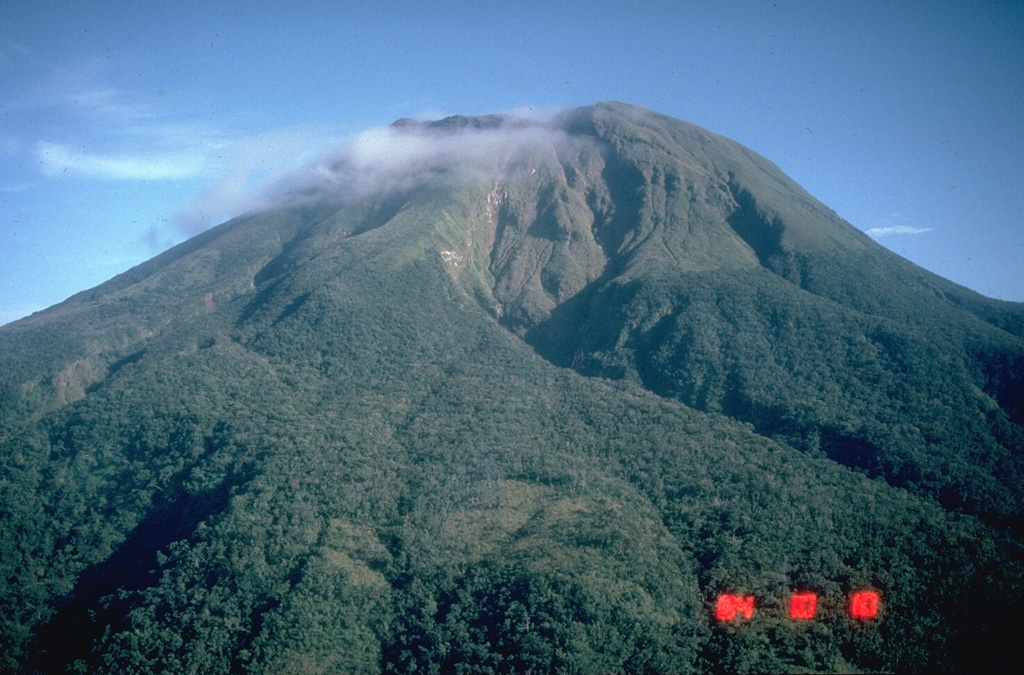
Ulawun (Papua New Guinea) | 27 December-2 January 2024 | Continuing ActivityCite this Report |
 Ulawun Ulawun
Bismarck Volcanic Arc
|
According to the Darwin VAAC a webcam image at Ulawun showed a pyroclastic flow descending a flank at 1230 on 31 December. An ash plume possibly rose to 2.7 km (9,000 ft) a.s.l. and drifted NE based on similar previous plumes and weather models; weather clouds prevented satellite views.
Source: Darwin Volcanic Ash Advisory Centre (VAAC)
|
Yasur (Vanuatu) | 27 December-2 January 2024 | Continuing ActivityCite this Report |
 Yasur Yasur
Vanuatu Volcanic Arc
|
On 28 December the Vanuatu Meteorology and Geohazards Department (VMGD) reported that activity at Yasur continued during December at a level of “major unrest,” as defined by the Alert Level 2 status (the middle level on a scale of 0-4). Recent satellite observations indicated an increase in steam, gas, and ash emissions from the summit crater. Explosions continued, with some ejecting bombs that landed back in and around the crater. The public was reminded to not enter the restricted area within 600 m around the boundaries of the Permanent Exclusion Zone, defined by Danger Zone A on the hazard map.
Source: Vanuatu Meteorology and Geohazards Department (VMGD)
|

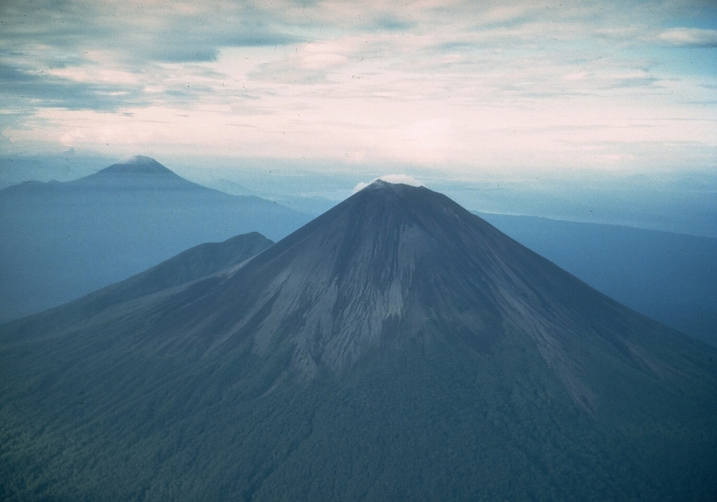
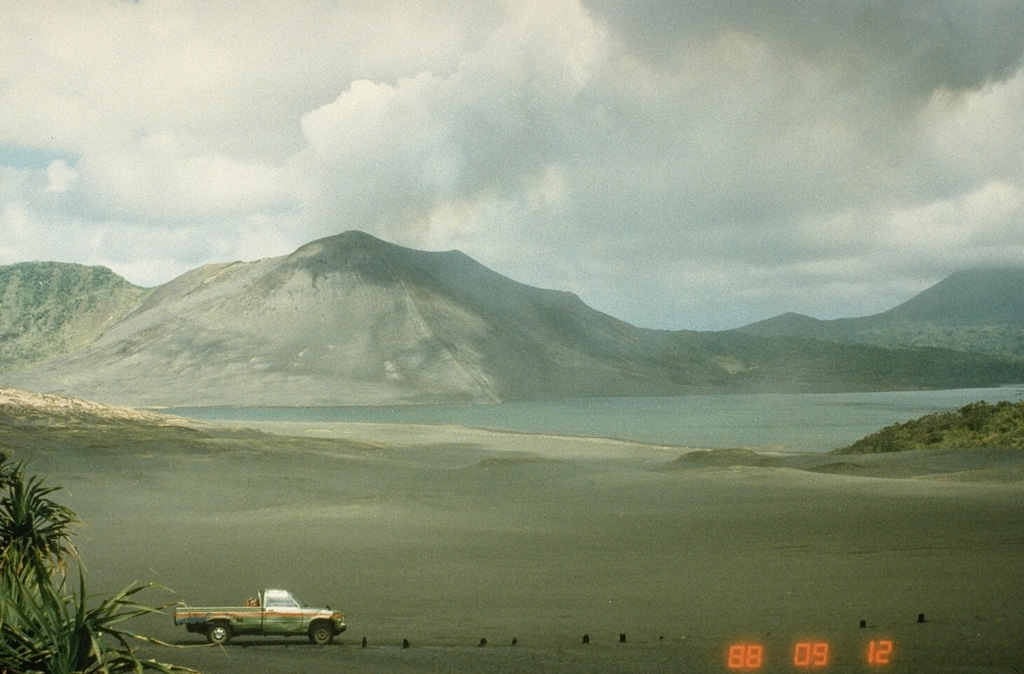
 Lewotobi
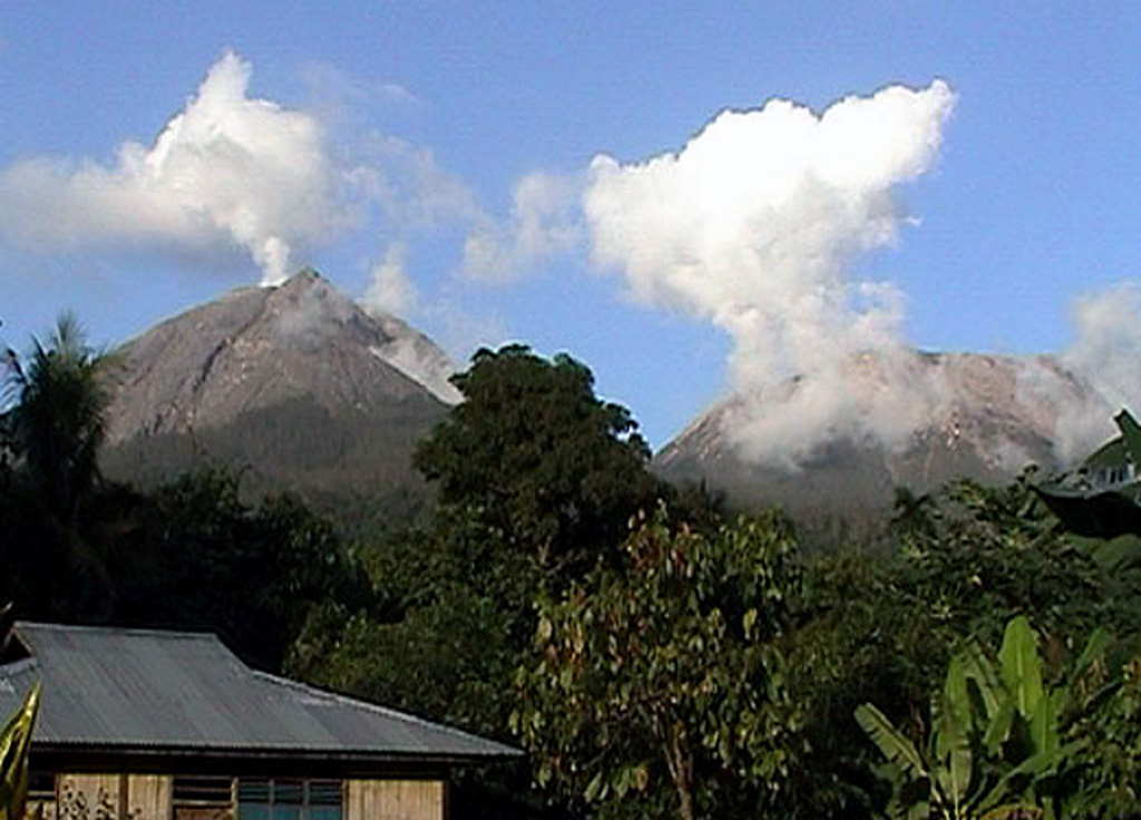
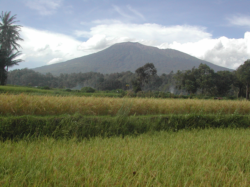 Marapi