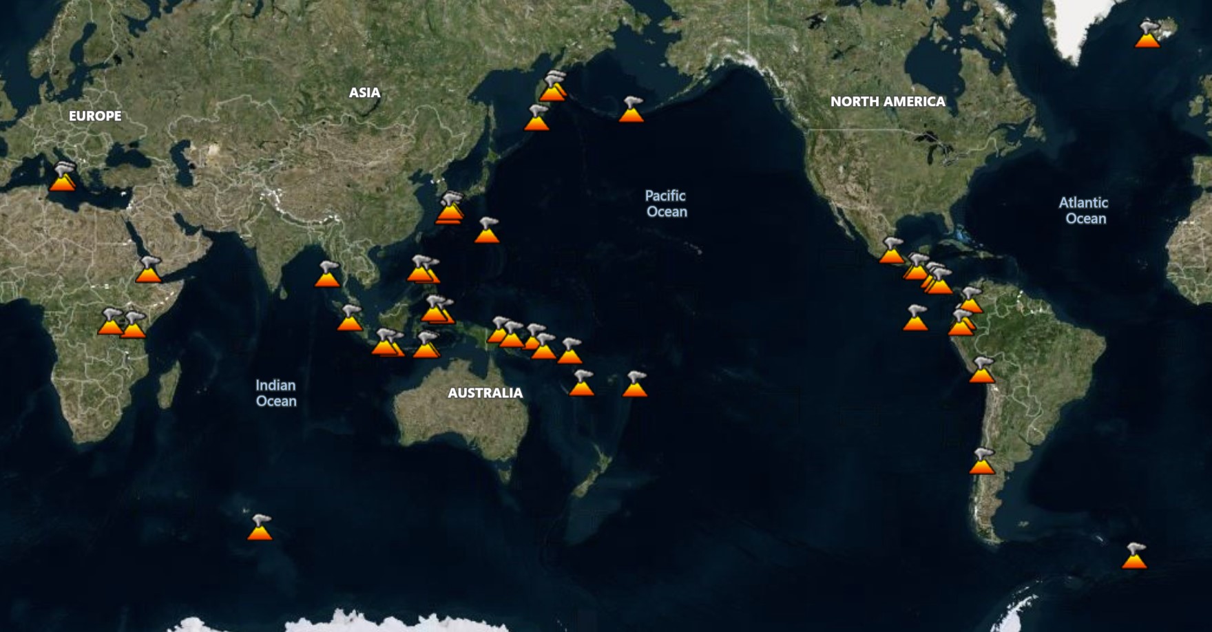
Report for Home Reef
The Tonga Geological Services reported that activity at Home Reef continued during 21 June-5 July. Discolored water around the island was visible in clear satellite images on 26 June and 1 July. The crater was about 210 m N-S and 120 m E-W. Fresh dark deposits surrounded the vent in the first image and lighter deposits around the same area were visible in the second image. The activity could not be accurately characterized due to the images being low resolution. No thermal anomalies nor ash emissions were detected in satellite data. The Aviation Color Code remained at Yellow (the second lowest level on a four-level scale, the Maritime Alert Level remained at Orange (the third level on a four-level scale) with advice to stay at least 2 nautical miles (3.7 km) from the island, and the Alert Level for residents of Vava’u and Ha’apai remained at Green (the first level on a four-level scale).
Report for Marapi
The Pusat Vulkanologi dan Mitigasi Bencana Geologi (PVMBG) reported that eruptive activity at Marapi (on Sumatra) continued during 2-8 July. Daily white plumes rose as high as 150 m above the summit and drifted NE, E, and SE. An eruptive event was recorded at 1359 om 6 July though not visually observed. The Alert Level remained at 2 (on a scale of 1-4) and the public was warned to stay 3 km away from the active crater.
Report for Merapi
The Balai Penyelidikan dan Pengembangan Teknologi Kebencanaan Geologi (BPPTKG) reported that the eruption at Merapi (on Java) continued during 27 June-3 July. Seismic levels were similar to the previous week. The SW lava dome produced eight lava avalanches that traveled as far as 2 km SW down the Bebeng drainage, five that traveled as far as 1.5 km SW down the Krasak drainage, and 56 that traveled as far as 2 km W down the Sat/Putih drainage. Small morphological changes to the SW lava dome resulted from continuing effusion and minor collapses. The Alert Level remained at 3 (on a scale of 1-4), and the public was warned to stay 3-7 km away from the summit, based on location.
Report for Semeru
The Pusat Vulkanologi dan Mitigasi Bencana Geologi (PVMBG) reported that activity continued at Semeru during 2-8 July, often with multiple daily eruptive events recorded by the seismic network. Emissions were not visually observed most of the week. Dense white-and-gray ash plumes rose 400-1,000 m above the summit and drifted NE, N, W, and SW during 2 and 6-7 July. The Alert Level remained at 2 (the second lowest level on a scale of 1-4). The public was warned to stay at least 3 km away from the summit in all directions, 8 km from the summit to the SE, 500 m from the banks of the Kobokan drainage as far as 13 km from the summit, and to avoid other drainages including the Bang, Kembar, and Sat, due to lahar, avalanche, and pyroclastic flow hazards.
Report for Raung
The Pusat Vulkanologi dan Mitigasi Bencana Geologi (PVMBG) reported that eruptive activity at Raung continued during 2-8 July. Gray or white-and-gray ash plumes rose 400-1,000 m above the crater rim and drifted S and SW during 2, 4-5, and 7 July. Incandescence at the summit was sometimes visible in webcam images. The Alert Level remained at 2 (on a scale of 1-4) and the public was warned to stay 3 km away from the summit crater.
Report for Lewotobi
The Pusat Vulkanologi dan Mitigasi Bencana Geologi (PVMBG) reported that an explosive eruption from Lewotobi Laki-laki at 1105 on 7 July was accompanied by loud booming sounds. A dense gray-to-black ash plume rose to around 18 km above the summit and drifted NE, N. and NW. Photos of the eruption showed pyroclastic flows descending the N and NE flanks as far as 5 km. The eruption lasted about six and a half minutes based on seismic data. According to the Badan Nacional Penanggulangan Bencana (BNPB) ashfall was reported in several villages in the Wulanggitang District including Nawakote, Klatanlo, Hokeng Jaya, Boru, and Pululera. A smaller explosion at 1519 generated a dense gray ash plume that rose around 1 km above the summit and drifted W. Another significant event at 1932 produced a dense gray-to-black ash plume that rose about 13 km above the summit and drifted W and NW. Incandescent material descending multiple flanks was visible in a webcam image starting at 1944.
News outlets reported that some flights from the El Tari Kupang Airport to Frans Seda Maumere Airport, along with a few dozen international flights, were cancelled. The Komodo International Airport, around 300 km W, was closed during 7-8 July. The Alert Level remained at 4 (on a scale of 1-4) and on 25 June the exclusion zone was reduced to 6 km from the center of Laki-laki and 7 km in a semicircle clockwise from the SW to the NE.
Report for Lewotolok
The Pusat Vulkanologi dan Mitigasi Bencana Geologi (PVMBG) reported that the eruption at Lewotolok intensified during 27 June-2 July, with activity that included taller white, gray, and black ash plumes that rose 1.2 km above the summit. Incandescent material was ejected in all directions, as far as 1.5 km N and ENE, and caused vegetation fires on the N and NE flanks. Rumbling and booming sounds were reported. At 2000 on 2 July the Alert Level as raised to 3 (on a scale of 1-4) and the public was warned to stay 3 km away from the summit. Daily gray, white-to-gray, or gray-to-black ash plumes rose 400-700 m above the summit of the cone and drifted NW, W, and SW during 2-8 July. Clear nighttime webcam images showed incandescent material both at the summit cone and being ejected above the cone. Lava flows on the flanks of the main volcano edifice were also incandescent.
Report for Dukono
The Pusat Vulkanologi dan Mitigasi Bencana Geologi (PVMBG) reported that eruptive activity at Dukono continued during 2-8 July. Daily white-and-gray or gray-to-black gas-and-ash plumes rose 600-1,600 m above the summit and drifted NW and E. Faint booming and rumbling was heard by residents and at the observation post, 10-11 km N, during 4-5 July. Ashfall was reported in areas downwind including at the Mamuya Village Observation post and in Tobelo City (15 km ENE); more ash fell in areas of Tobelo City during 6-7 July. The Alert Level remained at Level 2 (on a scale of 1-4) and the public was warned to stay 4 km away from the Malupang Warirang Crater.
Report for Ibu
The Pusat Vulkanologi dan Mitigasi Bencana Geologi (PVMBG) reported that the eruption at Ibu continued during 2-8 July. Daily dense gray or white-to-gray ash plumes rose 300-700 m above the summit and drifted in multiple directions. Nighttime crater incandescence was visible in some webcam images. The Alert Level remained at 3 (the second highest level on a four-level scale) and the public was advised to stay 4 km away from the active crater and 5 km away from the N crater wall opening.
Report for Taal
The Philippine Institute of Volcanology and Seismology (PHIVOLCS) reported increased seismicity at Taal. No volcanic earthquakes were recorded by the seismic network during 1-4 July, but two low-frequency volcanic earthquakes were detected on 5 July. A distinct increase in volcanic tremor began at 0337 on 6 July and continued at elevated levels through the day. Low levels of sulfur dioxide had been emitted in June with daily averages of 478 tonnes per day (t/d) on 2 July and 377 t/d on 4 July. Daily gas-and-steam emissions rose as high as 1.8 km above the crater rim and drifted mainly NE, though emissions became noticeably absent around the same time as increased seismicity. PHIVOLCS warned that the increased seismicity and lack of emissions may indicated a blockage and increased pressurization, potentially leading to a phreatic event. The Alert Level remained at 1 (on a scale of 0-5); PHIVOLCS reminded the public that the entire Taal Volcano Island (TVI) was a Permanent Danger Zone (PDZ) and recommended that the Main Crater and areas along the Daang Kastila fissure should remain prohibited. Pilots were warned to avoid flying over TVI.
Report for Suwanosejima
The Japan Meteorological Agency (JMA) reported that eruptive activity at Suwanosejima's Ontake Crater continued during 30 June-7 July. Incandescence was observed nightly in webcam images. Six explosions were recorded during the week, at 0806 on 30 July, at 0752 and 1608 on 1 July, at 0206 on 2 July, and at 1327 and 2038 on 6 July. The explosions produced ash plumes that rose as high as 2 km above the crater rim and drifted W, SE, and E; some of the plumes were not visible. Ashfall was reported by the Suwanosejima Branch of the Toshima Village Office (3.5 km SSW) on 30 June and 6 July. Eruptive events during 30 June and 6-7 July generated ash plumes that rose as high as 2 km above the crater rim and drifted W, SE, and E. The Alert Level remained at 2 (the second level on a five-level scale) and the public was warned to be cautious within 1.5 km of the crater.
Report for Aira
The Japan Meteorological Agency (JMA) reported ongoing eruptive activity at Minamidake Crater (Aira Caldera’s Sakurajima volcano) during 30 June-7 July. Nightly crater incandescence was visible in webcam images. One small eruptive event was recorded on 30 June. On 2 July sulfur dioxide emissions were slightly high, averaging 1,500 tons per day. Eruptive events during 6-7 July produced ash plumes that rose as high as 3 km above the crater rim. Plumes were continuously emitted during 1346-2310 on 6 July and during 0224-0840 on 7 July. The Alert Level remained at 3 (on a 5-level scale), and the public was warned to be cautious within 2 km of both the Minimadake and Showa craters.
Report for Kirishimayama
The Japan Meteorological Agency (JMA) reported that eruptive activity continued at Shinmoedake (Shinmoe peak, a stratovolcano of the Kirishimayama volcano group) during 2-8 July. The number of volcanic earthquakes with epicenters directly beneath Shinmoedake had been fluctuating since late October 2024, though the rates continue to be high. Beginning at 1025 on 27 June continuous gas-and-ash plumes with variable densities rose to various heights above the vents on the crater floor, at least through 9 July. The plumes generally rose 300-2,800 m above the crater rim, and occasionally higher, and drifted in various directions, causing periodic ashfall in areas downwind. On 2 July a large amount of ash fell in Makizonocho (14 km SW), Kirishima City, obscuring the white lines on the roads. At 1349 on 3 July the plumes rose 5 km above the crater rim and drifted S; the taller plume was associated with rumbling sounds. During a field survey in Kobayashi City that same day observers heard loud rumbling, and a notable amount of ash again fell in Makizonocho. At 1640 on 4 July plumes rose 3.3 km above the crater rim. Ashfall during 3-4 July was confirmed in Kagoshima City, Kirishima City, Yusui (16 km WNW), Aira City 931 km SW), Minamisatsuma City, and Hioki City (55 km SW) in Kagoshima Prefecture. On 7 July sulfur dioxide emissions averaged 900 tons per day. The Alert Level remained at 3 (on a 5-level scale) and the public was warned to exercise caution within 3 km from Shinmoedake Crater.
Report for Asosan
The Japan Meteorological Agency (JMA) reported that the amplitude of volcanic tremors at Asosan began to increase at around 1150 on 4 July, signaling an increasing unrest. Sulfur dioxide gas emissions were low, averaging 300-600 tons per day. White plumes rose 300 m above the crater rim. At 1300 the Alert Level was raised to 2 (on a scale of 1-5) and the public was warned to stay at least 1 km away from Nakadake Crater.
Report for Great Sitkin
The Alaska Volcano Observatory (AVO) reported that slow lava effusion continued to feed a thick flow in Great Sitkin’s summit crater during 2-8 July. Lava-flow advancement was concentrated at the SW and SE margins based on a 3 July radar image. Small daily earthquakes were detected by the seismic network, including signals probably caused by small rockfalls from the steep flanks. Slightly elevated surface temperatures consistent with lava effusion were observed in clear satellite views during 1-2 and 4-5 July. Diffuse steaming from the known active portions of the lava flow was observed in satellite images during 7-8 July. The Volcano Alert Level remained at Watch (the third level on a four-level scale) and the Aviation Color Code remained at Orange (the third color on a four-color scale).
Report for Rainier
The Cascades Volcano Observatory (CVO) reported that a small seismic swarm at Rainier began at 0129 on 8 July. By the 0926 the seismic network recorded hundreds of earthquakes at rates up to several per minute. The earthquakes were located at depths of 2-6 km below the summit; the largest earthquake, a M 1.7, was detected at 0452. No earthquakes were felt, no deformation was detected, and no anomalous signals were detected at infrasound monitoring stations. CVO noted that seismicity is typically about 9 earthquakes per month, plus swarms once or twice per year, but with much smaller numbers of events per swarm. The last large swarm at Rainier had over 1,000 earthquakes over three days in 2009 (120 located), had an earthquake with a maximum magnitude of 2.3. Past swarms have been attributed to circulation of fluids interacting with preexisting faults. The Volcano Alert Level remained at Normal (the lowest level on a four-level scale) and the Aviation Color Code remained at Green (the lowest color on a four-color scale).
Report for Yellowstone
The Yellowstone Volcano Observatory (YVO) reported that a small hydrothermal eruption occurred at Black Diamond Pool, in Yellowstone’s Biscuit Basin thermal area, at 2018 on 3 July based on webcam images. The Volcano Alert Level remained at Normal (the lowest level on a four-level scale) and the Aviation Color Code remained at Green (the lowest color on a four-color scale).
Report for Kilauea
The Hawaiian Volcano Observatory (HVO) reported that the eruption within Kilauea’s Kaluapele summit caldera, characterized by episodic fountaining and intermittent spatter at two vents along the SW margin of Halema’uma’u Crater, continued at variable levels during 2-8 July. Nighttime incandescence at the N vent was visible every night, with intermittent lava spattering and jetting at the same vent visible during 3-7 July. Rockfalls from spatter deposits on the crater wall exposed areas of incandescence. Two short overflows of lava at the N vent occurred at around 1830 on 7 July. Cycles of minor lava spattering, lava jetting, and gas flames were visible during 7-8 July. The Volcano Alert Level remained at Watch (the third level on a four-level scale) and the Aviation Color Code remained at Orange (the third color on a four-color scale).
Report for Poas
The Observatorio Vulcanológico y Sismológico de Costa Rica-Universidad Nacional (OVSICORI-UNA) reported continuing gas-and-steam emissions with occasional minor amounts of ash at Poás during 2-8 July. Uplift ceased to be detected in the past few weeks and no significant deformation was detected during the current week. Strong incandescence at Boca A vent was observed and the level of the hyperacid lake over Boca C had stabilized. Minor ashfall was reported in areas downwind on 3 July. The Alert Level remained at 2 (the second lowest level on a four-level scale) and the Aviation Color Code remained at Yellow (the second lowest color on a four-color scale).
Report for Reventador
The Instituto Geofísico-Escuela Politécnica Nacional (IG-EPN) reported that eruptive activity continued at Reventador during 1-8 July. Seismicity included 70-112 daily explosions, long-period earthquakes, harmonic tremor, and tremor associated with emissions. Multiple daily ash-and-gas plumes rose 400-700 m above the crater rim and drifted mainly NW, W, and SW. Webcams recorded multiple nightly instances of incandescent material descending the flanks as far as 1.1 km below the crater rim. Secretaría de Gestión de Riesgos (SGR) maintained the Alert Level at Orange (the second highest level on a four-color scale).
Report for Sangay
The Instituto Geofísico-Escuela Politécnica Nacional (IG-EPN) reported that the eruption continued at Sangay during 1-8 July. The seismic network recorded 48-94 explosions each day. Ash-and-gas plumes were observed in webcam and/or satellite images rising as high as 1.2 km above the summit and drifting mainly, NW, W, and SW, though weather clouds sometimes obscured views; plumes were not observed during 3-4 July. The surveillance camera network recorded several instances of incandescent material descending the flanks as far as 1 km during 5-7 July. Secretaría de Gestión de Riesgos (SGR) maintained the Alert Level at Yellow (the second highest level on a four-color scale).