
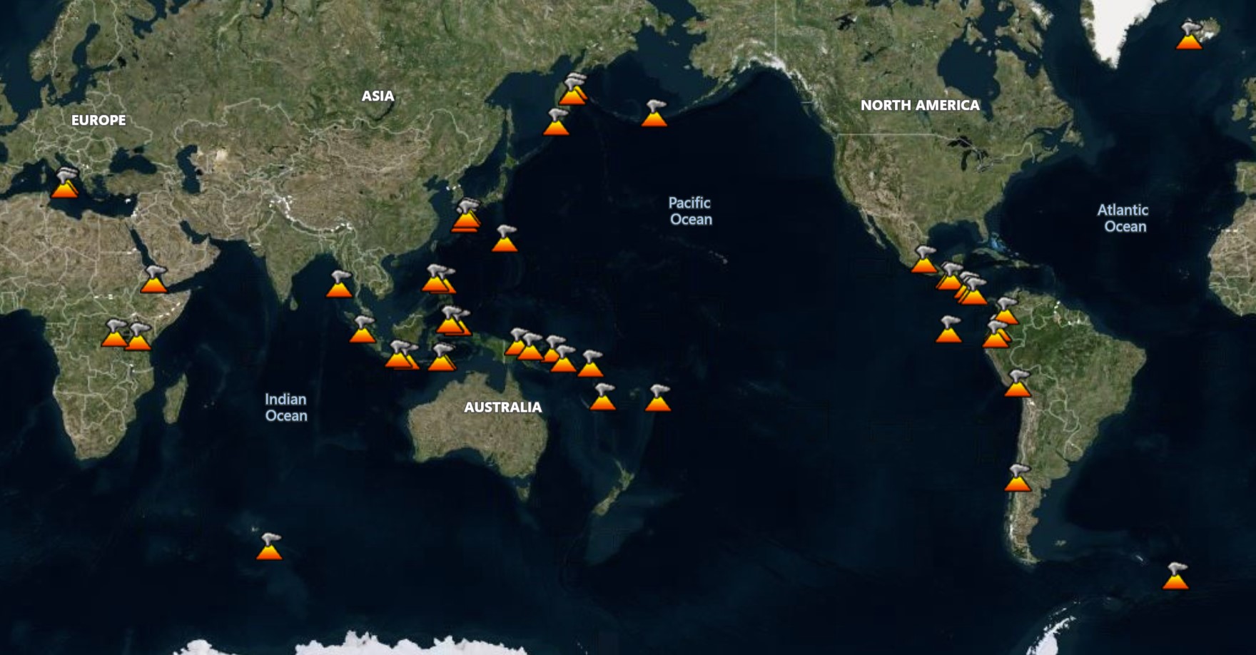
There are 42 volcanoes in the Daily Volcanic Activity Report (DVAR) for 2 September 2025, with 18 describing activity for continuing eruptions. The data shown is for the most recent date with available reports before today or the requested day. These data are the best available as of 28 Sep 2026, but may change as additional information is reviewed, such as from observatories that issue weekly reports. There are typically 40-50 continuing eruptions (map shows current eruptions, not the selected date), and about 20 of those will be actively erupting on any particular day. Data is currently available for dates starting on 1 Feb 2025.
Select Date:
| Name | Country | Volcanic Region | Last Known Activity |
|---|---|---|---|
| Bezymianny | Russia | Eastern Kamchatka Volcanic Arc | 2024 Dec 24 - 2025 Dec 4 |
| Dempo | Indonesia | Sunda Volcanic Arc | 2025 Aug 7 - 2025 Aug 29 |
| Dukono | Indonesia | Halmahera Volcanic Arc | 1933 Aug 13 - 2026 Mar 16 (continuing) |
| Etna | Italy | Sicily Volcanic Province | 2022 Nov 27 - 2026 Jan 12 |
| Fuego | Guatemala | Central America Volcanic Arc | 2002 Jan 4 - 2026 Mar 18 (continuing) |
| Great Sitkin | United States | Aleutian Ridge Volcanic Arc | 2021 May 25 - 2026 Mar 25 (continuing) |
| Ibu | Indonesia | Halmahera Volcanic Arc | 2008 Apr 5 - 2026 Mar 25 (continuing) |
| Ioto | Japan | Ogasawara Volcanic Arc | 2025 Sep 1 - 2025 Sep 2 |
| Karymsky | Russia | Eastern Kamchatka Volcanic Arc | 2025 Apr 29 - 2025 Aug 27 |
| Krasheninnikov | Russia | Eastern Kamchatka Volcanic Arc | 2025 Aug 2 - 2026 Mar 25 (continuing) |
| Kīlauea | United States | Hawaiian-Emperor Hotspot Volcano Group | 2024 Dec 23 - 2026 Mar 25 (continuing) |
| Lewotobi | Indonesia | Sunda Volcanic Arc | 2026 Mar 3 - 2026 Mar 25 (continuing) |
| Lewotolok | Indonesia | Sunda Volcanic Arc | 2025 Jan 16 - 2026 Mar 25 (continuing) |
| Marapi | Indonesia | Sunda Volcanic Arc | 2023 Dec 3 - 2026 Mar 24 (continuing) |
| Merapi | Indonesia | Sunda Volcanic Arc | 2020 Dec 31 - 2026 Mar 25 (continuing) |
| Popocatépetl | Mexico | Trans-Mexican Volcanic Arc | 2005 Jan 9 - 2026 Mar 18 (continuing) |
| Poás | Costa Rica | Central America Volcanic Arc | 2025 Jan 5 - 2026 Mar 16 (continuing) |
| Reventador | Ecuador | Northern Andean Volcanic Arc | 2008 Jul 27 - 2026 Mar 25 (continuing) |
| Sangay | Ecuador | Northern Andean Volcanic Arc | 2019 Mar 26 - 2026 Mar 25 (continuing) |
| Santa María | Guatemala | Central America Volcanic Arc | 1922 Jun 22 - 2026 Mar 18 (continuing) |
| Semeru | Indonesia | Sunda Volcanic Arc | 2019 Feb 24 - 2026 Mar 25 (continuing) |
| Sheveluch | Russia | Eastern Kamchatka Volcanic Arc | 1999 Aug 15 - 2026 Mar 25 (continuing) |
| Name | Country | Volcanic Region | Last Known Activity |
|---|---|---|---|
| Awu | Indonesia | Sangihe Volcanic Arc | 2004 Jun 2 (on or before) - 2004 Aug 16 (?) ± 15 days |
| Bur ni Telong | Indonesia | Sunda Volcanic Arc | 1937 Jul 2 ± 182 days |
| Dieng Volcanic Complex | Indonesia | Sunda Volcanic Arc | 2024 Dec 18 - 2025 Jan 6 |
| Karangetang | Indonesia | Sangihe Volcanic Arc | 2023 Feb 8 - 2023 Sep 5 |
| Kerinci | Indonesia | Sunda Volcanic Arc | 2024 May 28 - 2024 May 28 |
| Kusatsu-Shiranesan | Japan | Northeast Japan Volcanic Arc | 2018 Jan 23 - 2018 Jan 23 |
| Lokon-Empung | Indonesia | Sangihe Volcanic Arc | 2015 Aug 30 - 2015 Sep 28 ± 1 days |
| Mayon | Philippines | Eastern Philippine Volcanic Arc | 2026 Jan 6 - 2026 Mar 25 (continuing) |
| Pacaya | Guatemala | Central America Volcanic Arc | 2015 Jun 7 ± 1 days - 2021 Aug 13 |
| Raung | Indonesia | Sunda Volcanic Arc | 2025 Mar 13 - 2025 Jul 11 |
| Rincón de la Vieja | Costa Rica | Central America Volcanic Arc | 2021 Jun 28 - 2024 Oct 22 |
| Shishaldin | United States | Aleutian Ridge Volcanic Arc | 2023 Jul 11 ± 1 days - 2023 Nov 3 |
| Sinabung | Indonesia | Sunda Volcanic Arc | 2020 Aug 8 - 2021 Sep 23 |
| Soputan | Indonesia | Sangihe Volcanic Arc | 2020 Mar 23 - 2020 Apr 2 |
| Turrialba | Costa Rica | Central America Volcanic Arc | 2022 Jul 17 - 2022 Jul 17 |
| Name | Country | Volcanic Region | Last Known Activity |
|---|---|---|---|
| Gede-Pangrango | Indonesia | Sunda Volcanic Arc | 1957 Mar 13 - 1957 Mar 13 |
| Kelimutu | Indonesia | Sunda Volcanic Arc | 1968 Jun 3 - 1968 Jul 29 |
| Klyuchevskoy | Russia | Eastern Kamchatka Volcanic Arc | 2025 Apr 8 - 2025 Aug 16 |
| Papandayan | Indonesia | Sunda Volcanic Arc | 2002 Nov 11 - 2002 Dec 19 ± 3 days |
| Tangkuban Parahu | Indonesia | Sunda Volcanic Arc | 2019 Jul 26 - 2019 Sep 17 |
Bezymianny (Russia) | Continuing eruption
|
|
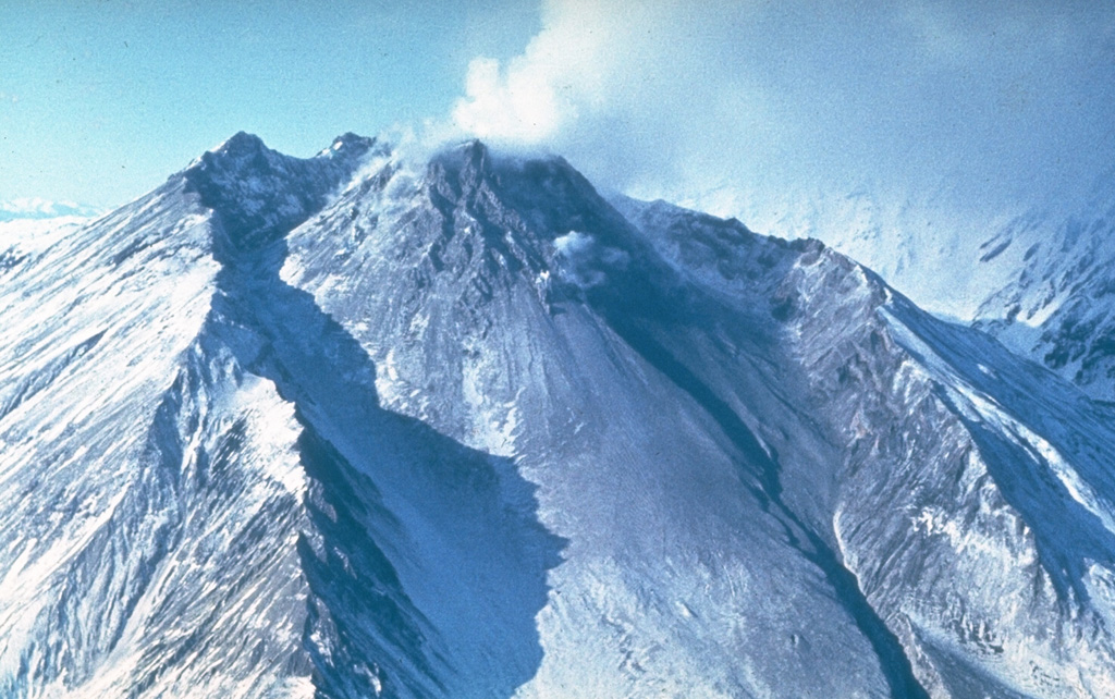 Bezymianny BezymiannyEastern Kamchatka Volcanic Arc |
The Kamchatkan Volcanic Eruption Response Team (KVERT) and Laboratory for Seismic and Volcanic Activity Research (ISVA) reported that the eruption continued at Bezymianny on 2 September 2025 (local). Gas and/or vapor plume(s) rose to a maximum of 300 m (984 ft) above the vent.
Observatory Alert Level: unavailable or not collected Source: Kamchatkan Volcanic Eruption Response Team (KVERT); Laboratory for Seismic and Volcanic Activity Research (ISVA) |
Dempo (Indonesia) | Continuing eruption
|
|
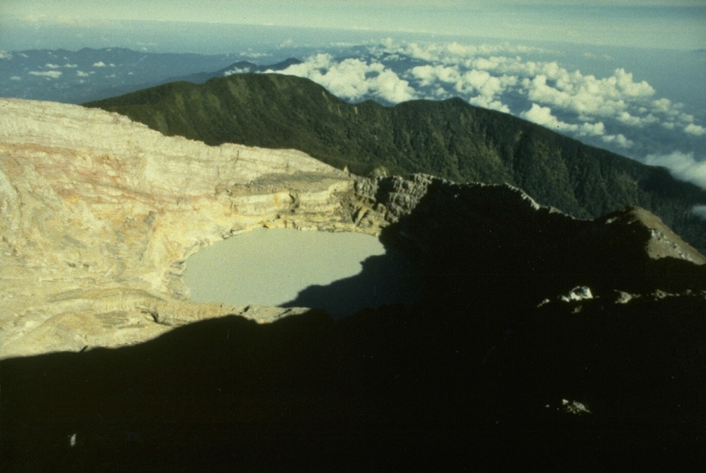 Dempo DempoSunda Volcanic Arc |
The Center for Volcanology and Geological Hazard/Pusat Vulkanologi dan Mitigasi Bencana Geologi (CVGHM/PVMBG) reported that the eruption continued at Dempo on 2 September 2025 (local).
Observatory Alert Level: unavailable or not collected Source: Center for Volcanology and Geological Hazard/Pusat Vulkanologi dan Mitigasi Bencana Geologi (CVGHM/PVMBG) |
Dukono (Indonesia) | Continuing eruption
|
|
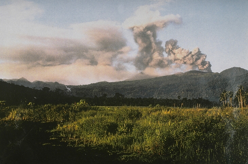 Dukono DukonoHalmahera Volcanic Arc |
The Center for Volcanology and Geological Hazard/Pusat Vulkanologi dan Mitigasi Bencana Geologi (CVGHM/PVMBG) reported that the eruption continued at Dukono on 2 September 2025 (local). There were 44 explosions reported, with plumes rising to a maximum of 600 m (1,969 ft) above the vent. The alert level remained at "Level 2 - Alert" (on a 4-level scale).
Observatory Alert Level: "Level 2 - Alert" (on a 4-level scale) Source: Center for Volcanology and Geological Hazard/Pusat Vulkanologi dan Mitigasi Bencana Geologi (CVGHM/PVMBG) |
Etna (Italy) | Continuing eruption
|
|
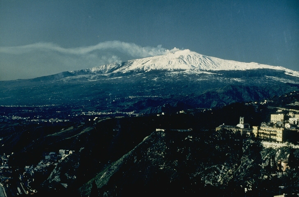 Etna EtnaSicily Volcanic Province |
The Instituto Nazionale di Geofisica e Vulcanologia-Osservatorio Etneo (INGV-Osservatorio Etneo) reported that the eruption continued at Etna between 1 September 2025 (local) and 2 September 2025 (local). Lava effusion from the vent located at 2,980 m above sea level stopped sometime before 1411 on 2 September. The lava flow fronts appeared stationary, and the lava field was cooling. The aviation alert level was lowered to "Yellow" (level 2 on a 4-level scale) on 2 September 2025 at 1414 by INGV. Volcanic tremor amplitude remained low from the evening of 1 September, with the source located SE of the Northeast Crater, between 2,500 and 2,800 m above sea level. The aviation alert level was lowered to "Green" (level 1 on a 4-level scale) on 2 September 2025 at 1417 by INGV. At around 1613 on 2 September, an explosion lasting approximately 1 minute was recorded at the Southeast Crater. A minor ash emission quickly dispersed in the summit area. The alert level remained at "Yellow" (level 2 on a 4-level scale). The aviation alert level remained at "Orange" (level 3 on a 4-level scale).
Observatory Alert Level: "Yellow" (level 2 on a 4-level scale) Source: Instituto Nazionale di Geofisica e Vulcanologia-Osservatorio Etneo (INGV-Osservatorio Etneo) |
Fuego (Guatemala) | Continuing eruption
|
|
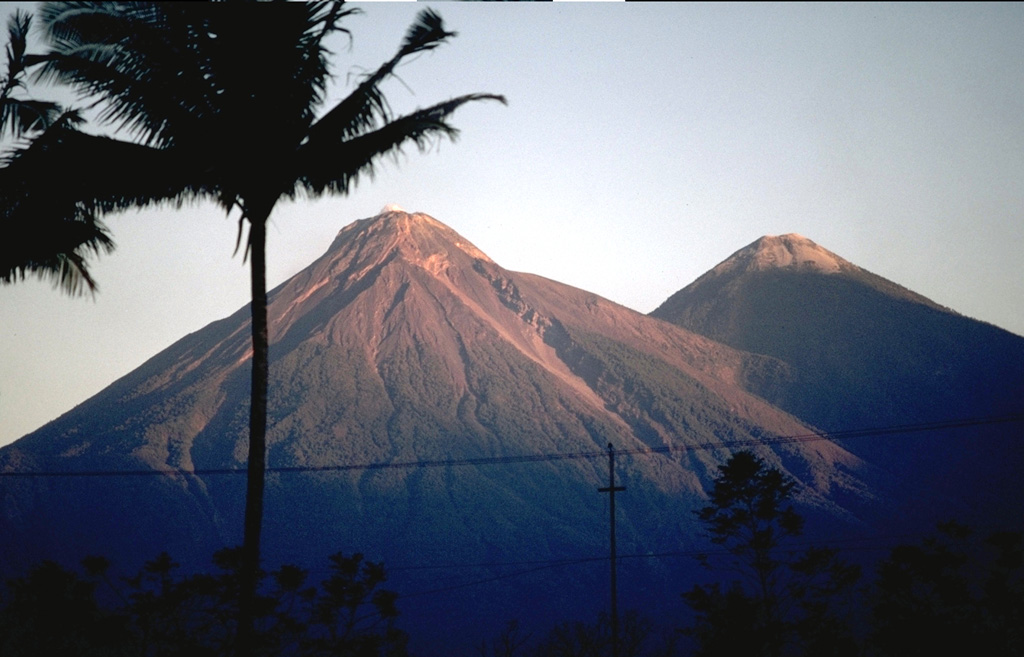 Fuego FuegoCentral America Volcanic Arc |
The Instituto Nacional de Sismología, Vulcanología, Meteorología e Hidrología (INSIVUMEH) reported that the eruption continued at Fuego between 1 September 2025 (local) and 2 September 2025 (local). Gas and/or vapor plume(s) rose to a maximum of 300 m (984 ft) above the vent. Incandescent material was ejected in pulses up to 250 m above the vent during the night and early morning. Explosions produced faint to moderate rumbles; some noises resembling train engines lasted from 38 seconds to 2 minutes. There were explosions reported, occurring at a rate of up to 13 per hour, with plumes rising to a maximum of 1,037 m (3,402 ft) above the vent. There were incandescent rockfalls. Explosions generated weak shockwaves.
Observatory Alert Level: unavailable or not collected Source: Instituto Nacional de Sismología, Vulcanología, Meteorología e Hidrología (INSIVUMEH) |
Great Sitkin (United States) | Continuing eruption
|
|
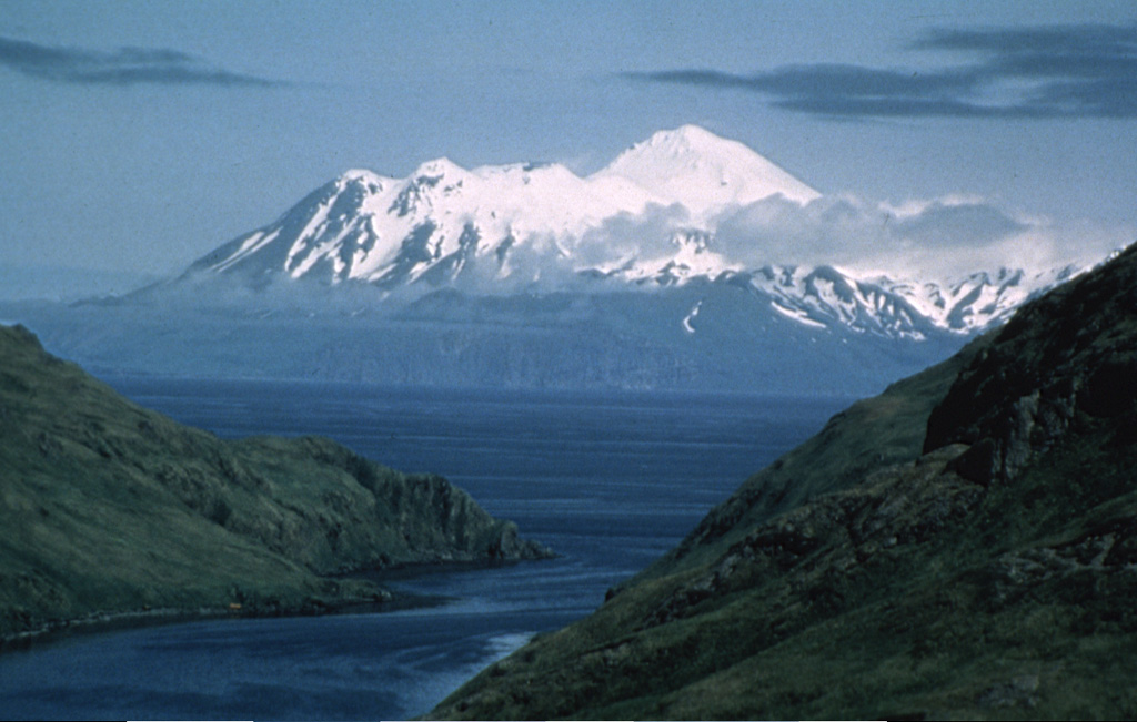 Great Sitkin Great SitkinAleutian Ridge Volcanic Arc |
The United States Geological Survey - Alaska Volcano Observatory (USGS-AVO) reported that the eruption continued at Great Sitkin between 1 September 2025 (local) and 2 September 2025 (local). Elevated surface temperatures were detected in satellite imagery. There were seismically detected rockfalls. Lava continued to erupt in the summit crater. The alert level remained at "Watch" (level 3 on a 4-level scale). The aviation alert level remained at "Orange" (level 3 on a 4-level scale).
Observatory Alert Level: "Watch" (level 3 on a 4-level scale) Source: United States Geological Survey - Alaska Volcano Observatory (USGS-AVO) |
Ibu (Indonesia) | Continuing eruption
|
|
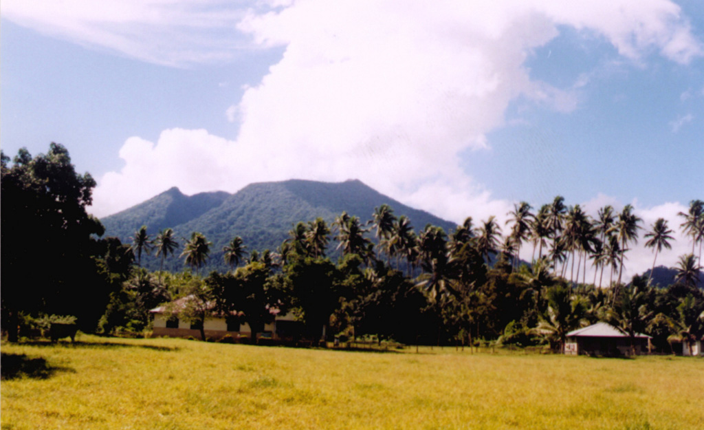 Ibu IbuHalmahera Volcanic Arc |
The Center for Volcanology and Geological Hazard/Pusat Vulkanologi dan Mitigasi Bencana Geologi (CVGHM/PVMBG) reported that the eruption continued at Ibu on 2 September 2025 (local). There were 132 explosions reported, with plumes rising to a maximum of 700 m (2,297 ft) above the vent. The alert level remained at "Level 2 - Alert" (on a 4-level scale).
Observatory Alert Level: "Level 2 - Alert" (on a 4-level scale) Source: Center for Volcanology and Geological Hazard/Pusat Vulkanologi dan Mitigasi Bencana Geologi (CVGHM/PVMBG) |
Ioto (Japan) | Continuing eruption
|
|
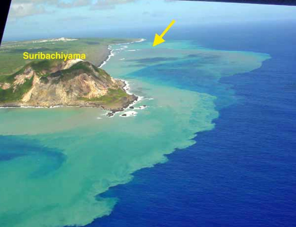 Ioto IotoOgasawara Volcanic Arc |
The Japan Meteorological Agency (JMA) reported that the eruption continued at Ioto on 2 September 2025 (local). The eruption that began at 1914 on 1 September continued at a reduced intensity. A total of 57 volcanic earthquakes were recorded as of 0700 on 2 September. Ground deformation data (continuous GNSS) showed a sharp inflationary trend beginning around 30 August. The alert level remained at "Caution advised around the crater" (level 2 on a 4-level scale).
Observatory Alert Level: "Caution advised around the crater" (level 2 on a 4-level scale) Source: Japan Meteorological Agency (JMA) |
Karymsky (Russia) | Continuing eruption
|
|
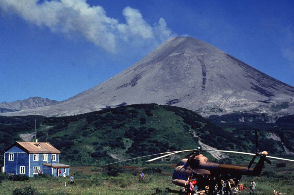 Karymsky KarymskyEastern Kamchatka Volcanic Arc |
The Kamchatkan Volcanic Eruption Response Team (KVERT) and Laboratory for Seismic and Volcanic Activity Research (ISVA) reported that the eruption continued at Karymsky on 2 September 2025 (local).
Observatory Alert Level: unavailable or not collected Source: Kamchatkan Volcanic Eruption Response Team (KVERT); Laboratory for Seismic and Volcanic Activity Research (ISVA) |
Krasheninnikov (Russia) | Continuing eruption
|
|
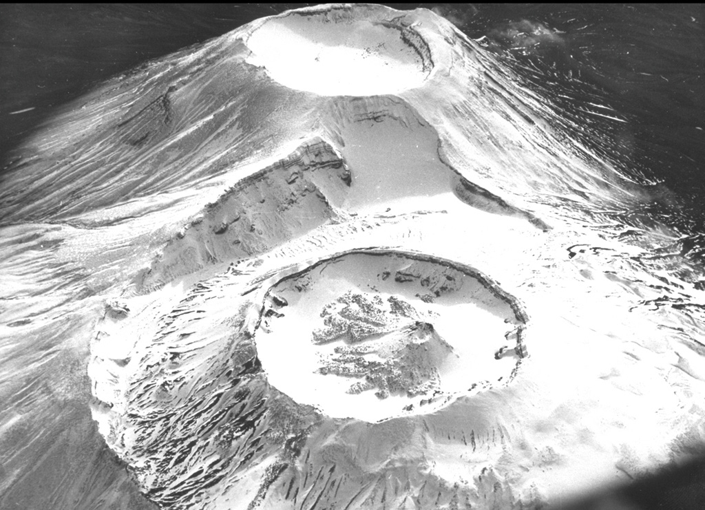 Krasheninnikov KrasheninnikovEastern Kamchatka Volcanic Arc |
The Kamchatkan Volcanic Eruption Response Team (KVERT) and Laboratory for Seismic and Volcanic Activity Research (ISVA) reported that the eruption continued at Krasheninnikov on 2 September 2025 (local). A large thermal anomaly was detected over the volcano in satellite imagery analyzed by KVERT. Lava effusion continued. Lava flowed toward the E flank.
Observatory Alert Level: unavailable or not collected Source: Kamchatkan Volcanic Eruption Response Team (KVERT); Laboratory for Seismic and Volcanic Activity Research (ISVA) |
Kīlauea (United States) | Continuing eruption
|
|
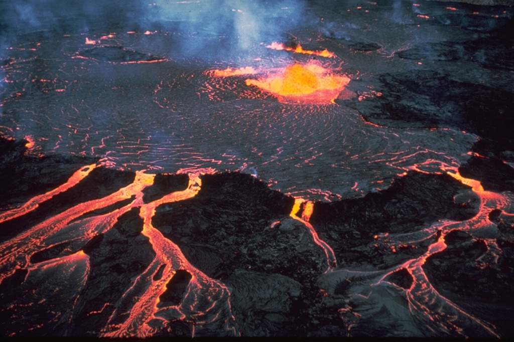 Kīlauea KīlaueaHawaiian-Emperor Hotspot Volcano Group |
The United States Geological Survey - Hawaiian Volcano Observatory (USGS-HVO) reported that the eruption continued at Kilauea on 2 September 2025 (local). A persistent glow, somewhat brighter than on previous nights, was observed at the Halemaʻumaʻu north vent in webcam images during the night of 30 August. The alert level remained at "Watch" (level 3 on a 4-level scale). The aviation alert level remained at "Orange" (level 3 on a 4-level scale).
Observatory Alert Level: "Watch" (level 3 on a 4-level scale) Source: United States Geological Survey - Hawaiian Volcano Observatory (USGS-HVO) |
Lewotobi (Indonesia) | Continuing eruption
|
|
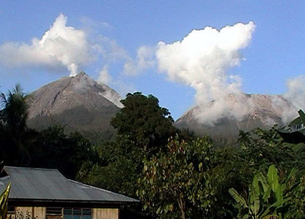 Lewotobi LewotobiSunda Volcanic Arc |
The Center for Volcanology and Geological Hazard/Pusat Vulkanologi dan Mitigasi Bencana Geologi (CVGHM/PVMBG) reported that the eruption continued at Lewotobi (Laki-Laki) on 2 September 2025 (local). Gas and/or vapor plume(s) rose to a maximum of 200 m (656 ft) above the vent. The alert level remained at "Level 3 - Standby" (on a 4-level scale).
Observatory Alert Level: "Level 3 - Standby" (on a 4-level scale) Source: Center for Volcanology and Geological Hazard/Pusat Vulkanologi dan Mitigasi Bencana Geologi (CVGHM/PVMBG) |
Lewotolok (Indonesia) | Continuing eruption
|
|
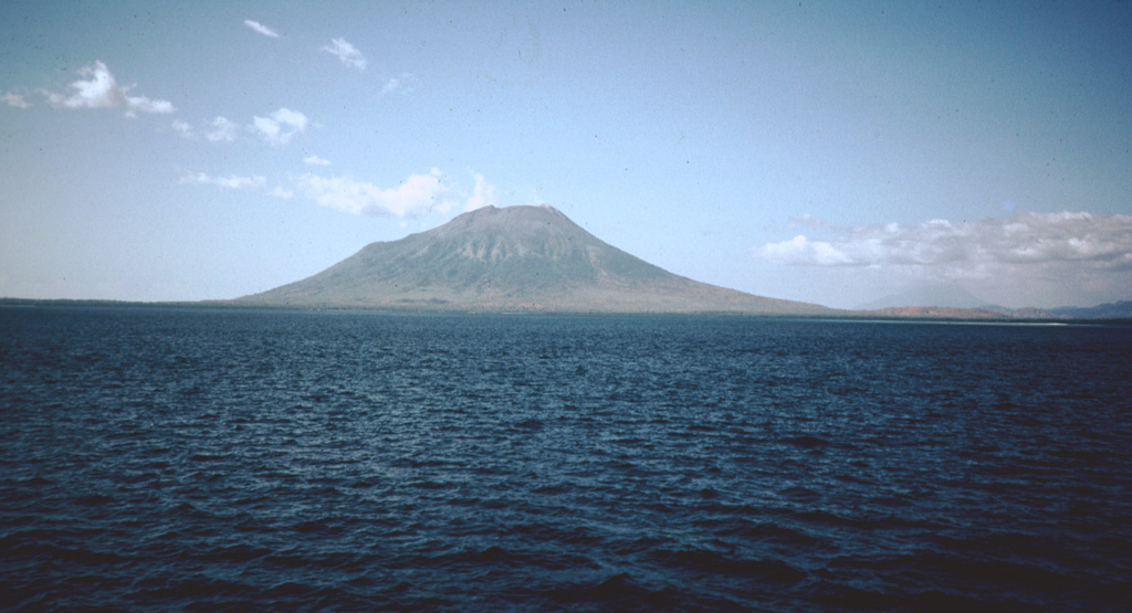 Lewotolok LewotolokSunda Volcanic Arc |
The Center for Volcanology and Geological Hazard/Pusat Vulkanologi dan Mitigasi Bencana Geologi (CVGHM/PVMBG) reported that the eruption continued at Lewotolok on 2 September 2025 (local). There were 151 explosions reported, with plumes rising to a maximum of 200 m (656 ft) above the vent. The alert level remained at "Level 3 - Standby" (on a 4-level scale).
Observatory Alert Level: "Level 3 - Standby" (on a 4-level scale) Source: Center for Volcanology and Geological Hazard/Pusat Vulkanologi dan Mitigasi Bencana Geologi (CVGHM/PVMBG) |
Marapi (Indonesia) | Continuing eruption
|
|
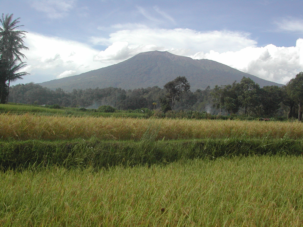 Marapi MarapiSunda Volcanic Arc |
The Center for Volcanology and Geological Hazard/Pusat Vulkanologi dan Mitigasi Bencana Geologi (CVGHM/PVMBG) reported that the eruption continued at Marapi on 2 September 2025 (local). Gas and/or vapor plume(s) rose to a maximum of 100 m (328 ft) above the vent. The alert level remained at "Level 2 - Alert" (on a 4-level scale).
Observatory Alert Level: "Level 2 - Alert" (on a 4-level scale) Source: Center for Volcanology and Geological Hazard/Pusat Vulkanologi dan Mitigasi Bencana Geologi (CVGHM/PVMBG) |
Merapi (Indonesia) | Continuing eruption
|
|
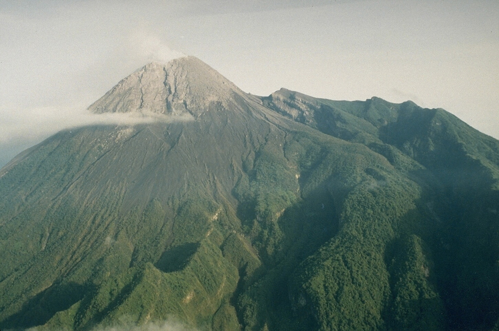 Merapi MerapiSunda Volcanic Arc |
The Center for Volcanology and Geological Hazard/Pusat Vulkanologi dan Mitigasi Bencana Geologi (CVGHM/PVMBG) reported that the eruption continued at Merapi on 2 September 2025 (local). The alert level remained at "Level 3 - Standby" (on a 4-level scale).
Observatory Alert Level: "Level 3 - Standby" (on a 4-level scale) Source: Center for Volcanology and Geological Hazard/Pusat Vulkanologi dan Mitigasi Bencana Geologi (CVGHM/PVMBG) |
Popocatépetl (Mexico) | Continuing eruption
|
|
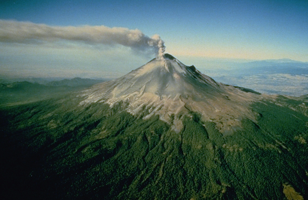 Popocatépetl PopocatépetlTrans-Mexican Volcanic Arc |
The Centro Nacional de Prevención de Desastres (CENAPRED) reported that the eruption continued at Popocatépetl between 1 September 2025 (local) and 2 September 2025 (local). Ash, gas, and vapor plume(s) were reported.
Observatory Alert Level: unavailable or not collected Source: Centro Nacional de Prevención de Desastres (CENAPRED) |
Poás (Costa Rica) | Continuing eruption
|
|
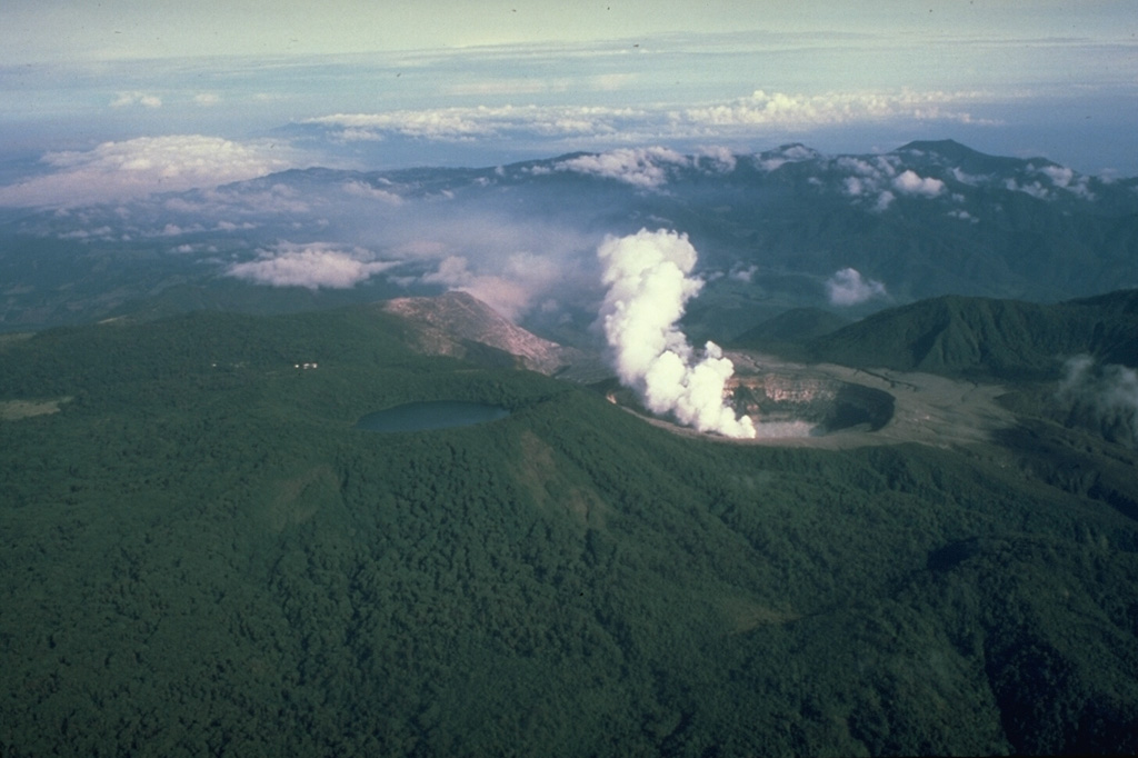 Poás PoásCentral America Volcanic Arc |
The Observatorio Vulcanológico y Sismológico de Costa Rica - Universidad Nacional (OVSICORI-UNA) reported that the eruption continued at Poás between 1 September 2025 (local) and 2 September 2025 (local). A small ash emission event was observed at 1230 on 2 September. Vigorous gas-and-steam activity continued. Incandescence was observed at the "Boca A" vent. The alert level remained at "Level 2 - Warning" (on a 0–4 level scale). The aviation alert level remained at "Yellow" (level 2 on a 4-level scale).
Observatory Alert Level: "Level 2 - Warning" (on a 0–4 level scale) Source: Observatorio Vulcanológico y Sismológico de Costa Rica - Universidad Nacional (OVSICORI-UNA) |
Reventador (Ecuador) | Continuing eruption
|
|
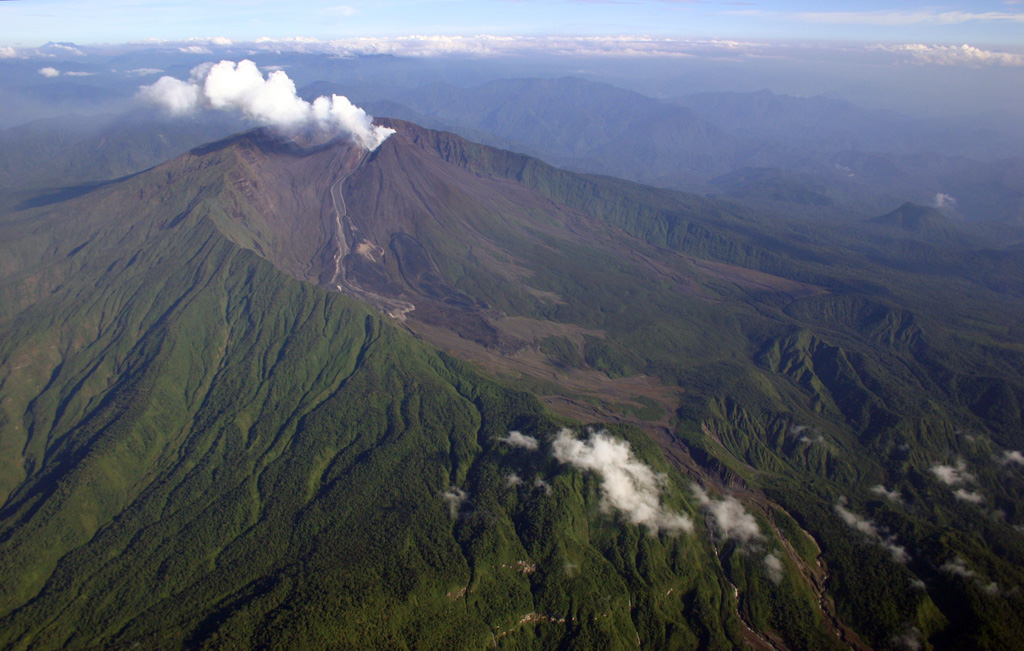 Reventador ReventadorNorthern Andean Volcanic Arc |
The Instituto Geofísico-Escuela Politécnica Nacional (IG-EPN) reported that the eruption continued at Reventador between 1 September 2025 (local) and 2 September 2025 (local). There were 85 seismically detected explosions reported. There were incandescent rockfalls, descending 1,000 m below the crater.
Observatory Alert Level: unavailable or not collected Source: Instituto Geofísico-Escuela Politécnica Nacional (IG-EPN) |
Sangay (Ecuador) | Continuing eruption
|
|
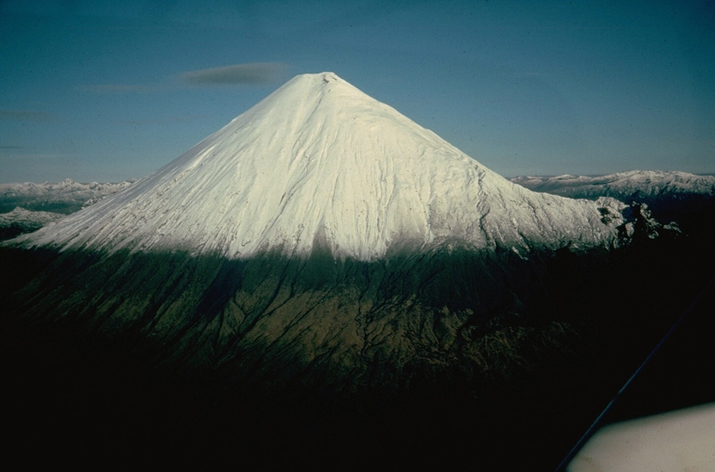 Sangay SangayNorthern Andean Volcanic Arc |
The Instituto Geofísico-Escuela Politécnica Nacional (IG-EPN) reported that the eruption continued at Sangay between 1 September 2025 (local) and 2 September 2025 (local). There were 63 seismically detected explosions reported.
Observatory Alert Level: unavailable or not collected Source: Instituto Geofísico-Escuela Politécnica Nacional (IG-EPN) |
Santa María (Guatemala) | Continuing eruption
|
|
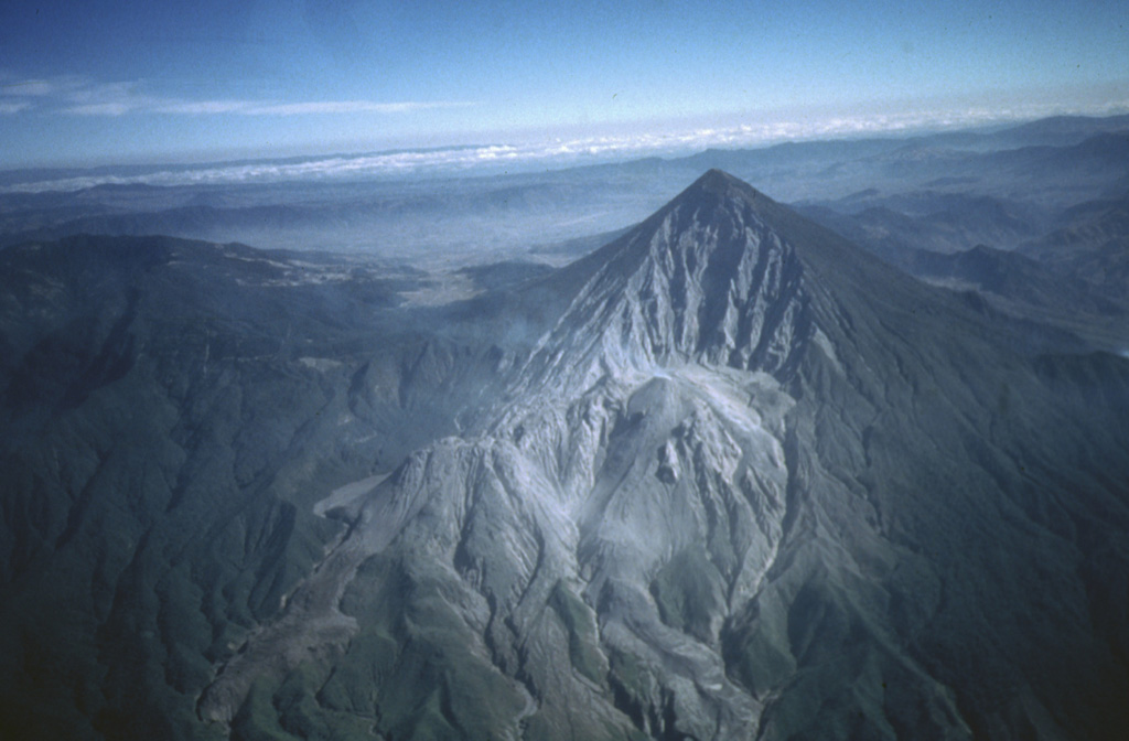 Santa María Santa MaríaCentral America Volcanic Arc |
The Instituto Nacional de Sismología, Vulcanología, Meteorología e Hidrología (INSIVUMEH) reported that the eruption continued at Santa María between 1 September 2025 (local) and 2 September 2025 (local). Gas and/or vapor plume(s) rose to a maximum of 300 m (984 ft) above the vent. Incandescence was observed at El Caliente Dome during the night and early morning. There were explosions reported, occurring at a rate of up to 4 per hour, with plumes rising to a maximum of 700 m (2,297 ft) above the vent. Fine ash fell on nearby farms located SW of Caliente Dome. There were incandescent rockfalls.
Observatory Alert Level: unavailable or not collected Source: Instituto Nacional de Sismología, Vulcanología, Meteorología e Hidrología (INSIVUMEH) |
Semeru (Indonesia) | Continuing eruption
|
|
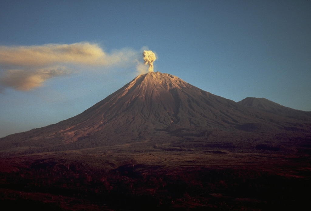 Semeru SemeruSunda Volcanic Arc |
The Center for Volcanology and Geological Hazard/Pusat Vulkanologi dan Mitigasi Bencana Geologi (CVGHM/PVMBG) reported that the eruption continued at Semeru on 2 September 2025 (local). There were 52 explosions reported, with plumes rising to a maximum of 500 m (1,640 ft) above the vent. There were 2 seismically detected rockfalls. The alert level remained at "Level 2 - Alert" (on a 4-level scale).
Observatory Alert Level: "Level 2 - Alert" (on a 4-level scale) Source: Center for Volcanology and Geological Hazard/Pusat Vulkanologi dan Mitigasi Bencana Geologi (CVGHM/PVMBG) |
Sheveluch (Russia) | Continuing eruption
|
|
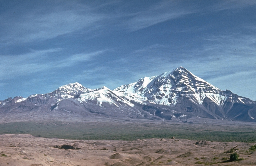 Sheveluch SheveluchEastern Kamchatka Volcanic Arc |
The Kamchatkan Volcanic Eruption Response Team (KVERT) and Laboratory for Seismic and Volcanic Activity Research (ISVA) reported that the eruption continued at Sheveluch on 2 September 2025 (local).
Observatory Alert Level: unavailable or not collected Source: Kamchatkan Volcanic Eruption Response Team (KVERT); Laboratory for Seismic and Volcanic Activity Research (ISVA) |
Awu (Indonesia) | Unrest
|
|
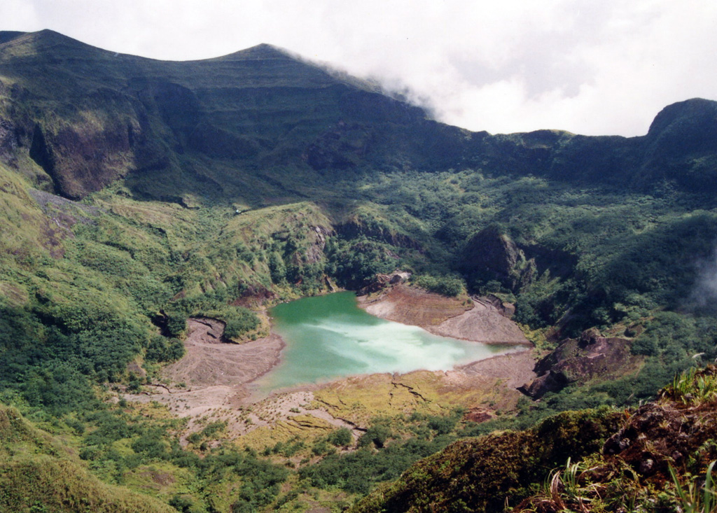 Awu AwuSangihe Volcanic Arc |
The Center for Volcanology and Geological Hazard/Pusat Vulkanologi dan Mitigasi Bencana Geologi (CVGHM/PVMBG) reported that unrest continued at Awu on 2 September 2025 (local). Gas and/or vapor plume(s) rose to a maximum of 50 m (164 ft) above the vent.
Observatory Alert Level: unavailable or not collected Source: Center for Volcanology and Geological Hazard/Pusat Vulkanologi dan Mitigasi Bencana Geologi (CVGHM/PVMBG) |
Bur ni Telong (Indonesia) | Unrest
|
|
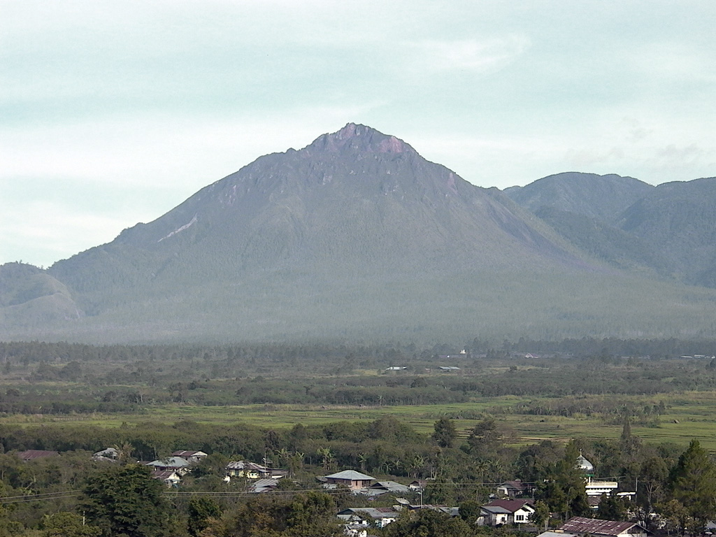 Bur ni Telong Bur ni TelongSunda Volcanic Arc |
The Center for Volcanology and Geological Hazard/Pusat Vulkanologi dan Mitigasi Bencana Geologi (CVGHM/PVMBG) reported that unrest continued at Telong, Bur ni on 2 September 2025 (local).
Observatory Alert Level: unavailable or not collected Source: Center for Volcanology and Geological Hazard/Pusat Vulkanologi dan Mitigasi Bencana Geologi (CVGHM/PVMBG) |
Dieng Volcanic Complex (Indonesia) | Unrest
|
|
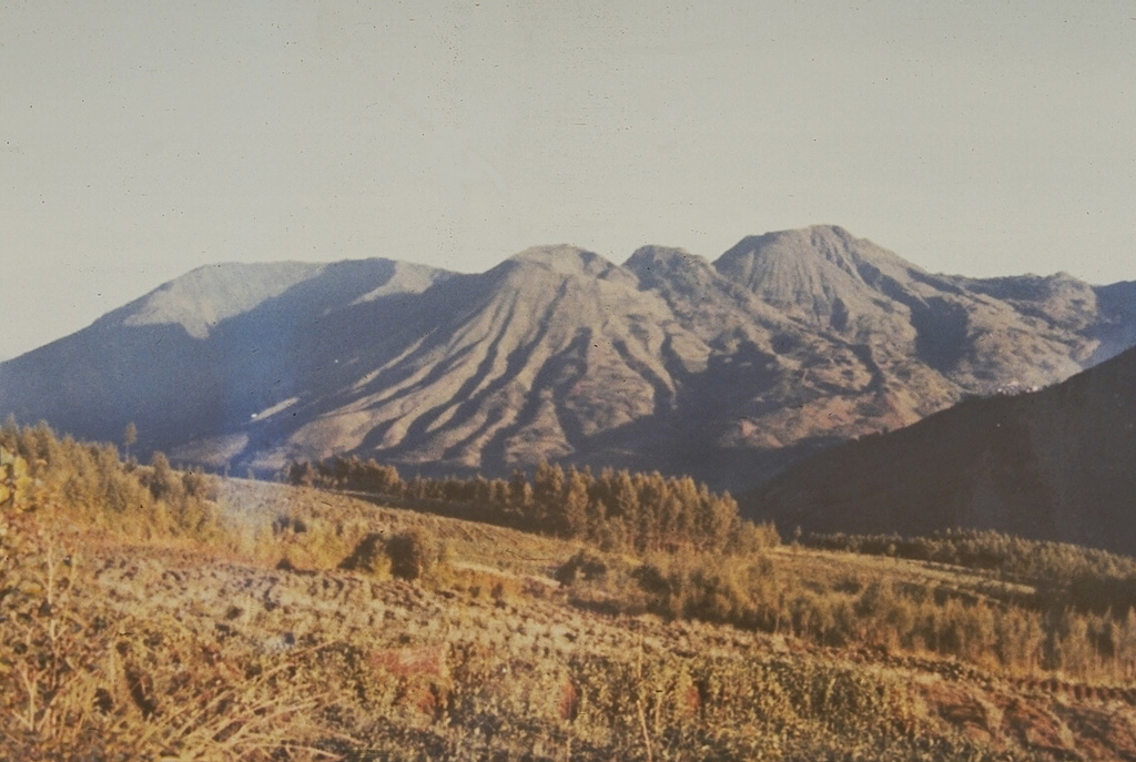 Dieng Volcanic Complex Dieng Volcanic ComplexSunda Volcanic Arc |
The Center for Volcanology and Geological Hazard/Pusat Vulkanologi dan Mitigasi Bencana Geologi (CVGHM/PVMBG) reported that unrest continued at Dieng Volcanic Complex on 2 September 2025 (local). Gas and/or vapor plume(s) rose to a maximum of 40 m (131 ft) above the vent.
Observatory Alert Level: unavailable or not collected Source: Center for Volcanology and Geological Hazard/Pusat Vulkanologi dan Mitigasi Bencana Geologi (CVGHM/PVMBG) |
Karangetang (Indonesia) | Unrest
|
|
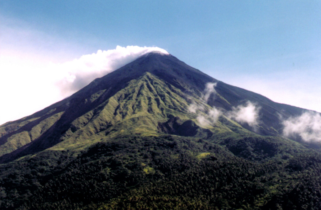 Karangetang KarangetangSangihe Volcanic Arc |
The Center for Volcanology and Geological Hazard/Pusat Vulkanologi dan Mitigasi Bencana Geologi (CVGHM/PVMBG) reported that unrest continued at Karangetang on 2 September 2025 (local).
Observatory Alert Level: unavailable or not collected Source: Center for Volcanology and Geological Hazard/Pusat Vulkanologi dan Mitigasi Bencana Geologi (CVGHM/PVMBG) |
Kerinci (Indonesia) | Unrest
|
|
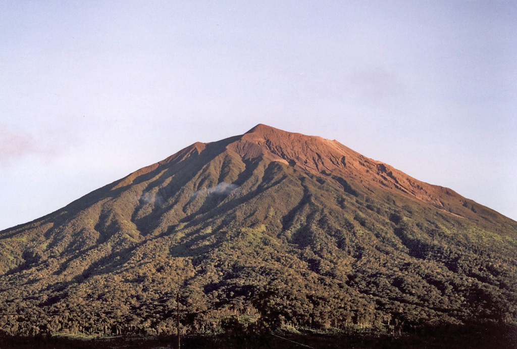 Kerinci KerinciSunda Volcanic Arc |
The Center for Volcanology and Geological Hazard/Pusat Vulkanologi dan Mitigasi Bencana Geologi (CVGHM/PVMBG) reported that unrest continued at Kerinci on 2 September 2025 (local). Gas and/or vapor plume(s) rose to a maximum of 150 m (492 ft) above the vent. The alert level remained at "Level 2 - Alert" (on a 4-level scale).
Observatory Alert Level: "Level 2 - Alert" (on a 4-level scale) Source: Center for Volcanology and Geological Hazard/Pusat Vulkanologi dan Mitigasi Bencana Geologi (CVGHM/PVMBG) |
Kusatsu-Shiranesan (Japan) | Unrest activity increased
|
|
 Kusatsu-Shiranesan Kusatsu-ShiranesanNortheast Japan Volcanic Arc |
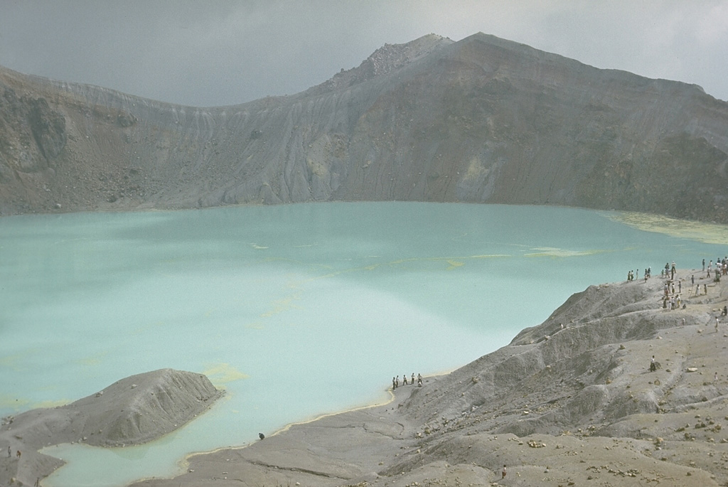
The Japan Meteorological Agency (JMA) reported that unrest activity increased at Kusatsu-Shiranesan between 1 September 2025 (local) and 2 September 2025 (local). The alert level remained at "Level 2 - Restriction on proximity to the crater" (on a 5-level scale).
Observatory Alert Level: "Level 2 - Restriction on proximity to the crater" (on a 5-level scale) Source: Japan Meteorological Agency (JMA) |
Lokon-Empung (Indonesia) | Unrest activity increased
|
|
 Lokon-Empung Lokon-EmpungSangihe Volcanic Arc |
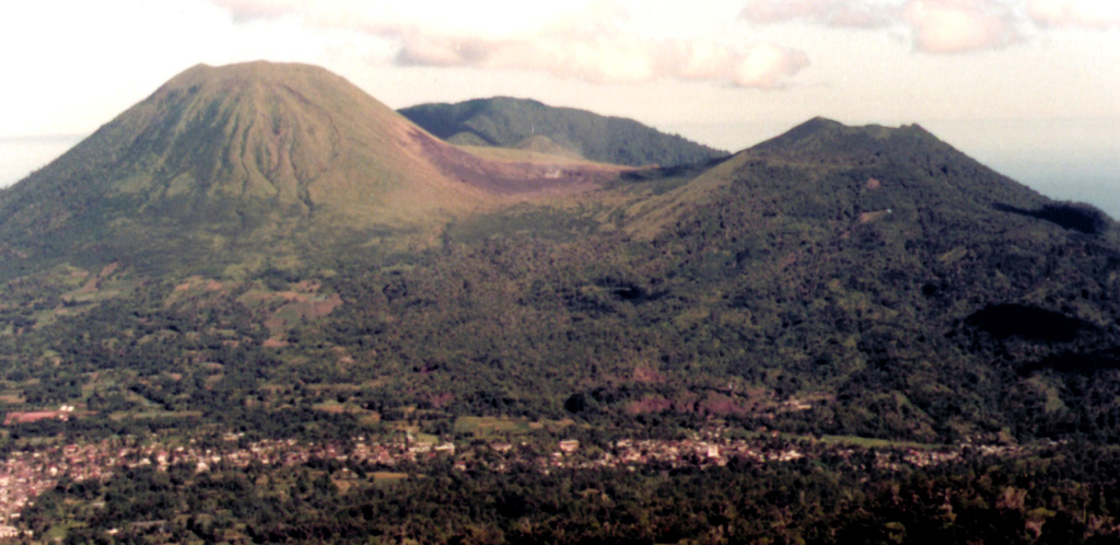
The Center for Volcanology and Geological Hazard/Pusat Vulkanologi dan Mitigasi Bencana Geologi (CVGHM/PVMBG) reported that unrest activity increased at Lokon-Empung on 2 September 2025 (local). Gas and/or vapor plume(s) rose to a maximum of 15 m (49 ft) above the vent. Tectonic seismicity was recorded 5 times. Deep volcanic seismicity (Type A/vulkanik dalam) was recorded 4 times. Shallow volcanic seismicity notably increased from 0000 to 0600 on 2 September, with a total of 35 earthquakes recorded. Gas emission seismicity was recorded 25 times. The alert level remained at "Level 2 - Alert" (on a 4-level scale). Activity also included: gas emission seismicity, tectonic seismicity, deep volcanic seismicity (Type A/vulkanik dalam).
Observatory Alert Level: "Level 2 - Alert" (on a 4-level scale) Source: Center for Volcanology and Geological Hazard/Pusat Vulkanologi dan Mitigasi Bencana Geologi (CVGHM/PVMBG) |
Mayon (Philippines) | Unrest
|
|
 Mayon MayonEastern Philippine Volcanic Arc |
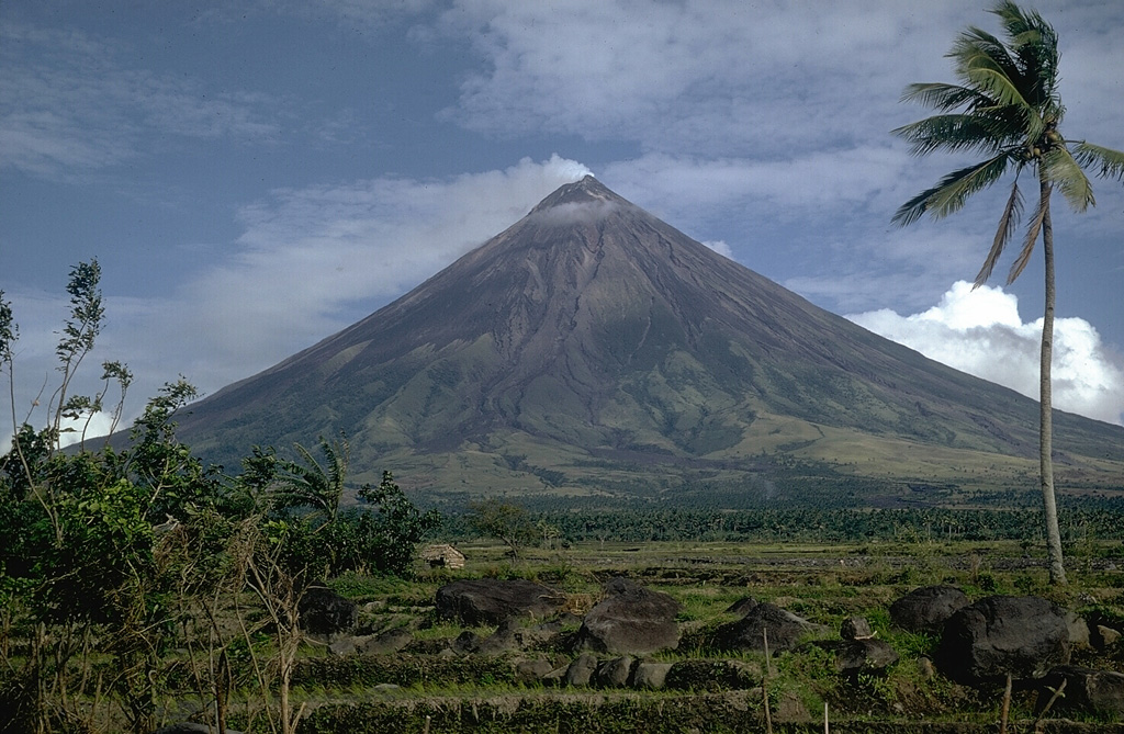
The Philippine Institute of Volcanology and Seismology (PHIVOLCS) reported that unrest continued at Mayon on 2 September 2025 (local). The alert level remained at "1 - Abnormal" (on a 0–5 level scale).
Observatory Alert Level: "1 - Abnormal" (on a 0–5 level scale) Source: Philippine Institute of Volcanology and Seismology (PHIVOLCS) |
Pacaya (Guatemala) | Unrest
|
|
 Pacaya PacayaCentral America Volcanic Arc |
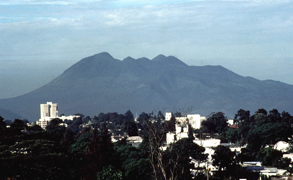
The Instituto Nacional de Sismología, Vulcanología, Meteorología e Hidrología (INSIVUMEH) reported that unrest continued at Pacaya between 1 September 2025 (local) and 2 September 2025 (local). Gas and/or vapor plume(s) rose to a maximum of 100 m (328 ft) above the vent. There were seismically detected rockfalls. Activity also included: gas emission seismicity.
Observatory Alert Level: unavailable or not collected Source: Instituto Nacional de Sismología, Vulcanología, Meteorología e Hidrología (INSIVUMEH) |
Raung (Indonesia) | Unrest
|
|
 Raung RaungSunda Volcanic Arc |
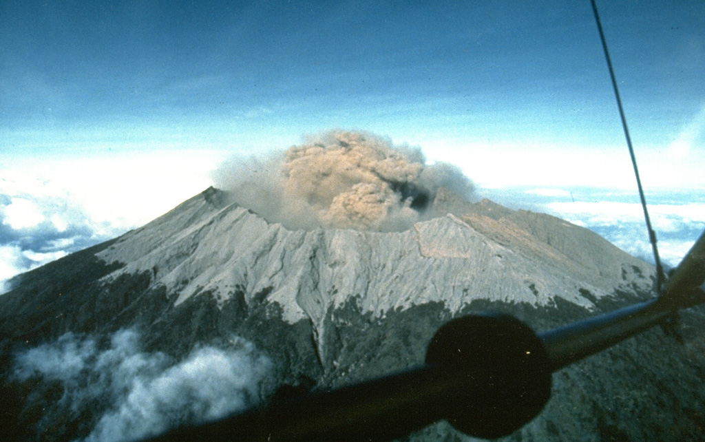
The Center for Volcanology and Geological Hazard/Pusat Vulkanologi dan Mitigasi Bencana Geologi (CVGHM/PVMBG) reported that unrest continued at Raung on 2 September 2025 (local). Gas and/or vapor plume(s) rose to a maximum of 100 m (328 ft) above the vent.
Observatory Alert Level: unavailable or not collected Source: Center for Volcanology and Geological Hazard/Pusat Vulkanologi dan Mitigasi Bencana Geologi (CVGHM/PVMBG) |
Rincón de la Vieja (Costa Rica) | Unrest
|
|
 Rincón de la Vieja Rincón de la ViejaCentral America Volcanic Arc |
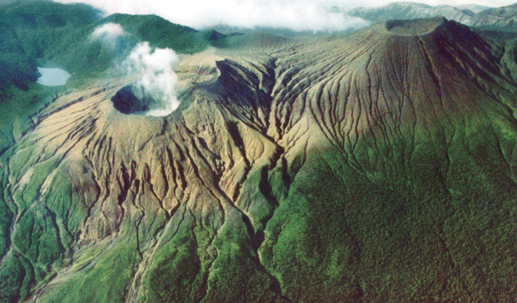
The Observatorio Vulcanológico y Sismológico de Costa Rica - Universidad Nacional (OVSICORI-UNA) reported that unrest continued at Rincón de la Vieja between 1 September 2025 (local) and 2 September 2025 (local). The alert level remained at "Level 2 - Warning" (on a 0–4 level scale).
Observatory Alert Level: "Level 2 - Warning" (on a 0–4 level scale) Source: Observatorio Vulcanológico y Sismológico de Costa Rica - Universidad Nacional (OVSICORI-UNA) |
Shishaldin (United States) | Unrest
|
|
 Shishaldin ShishaldinAleutian Ridge Volcanic Arc |
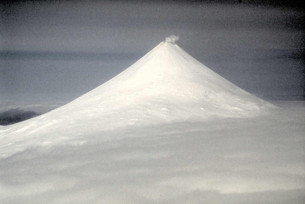
The United States Geological Survey - Alaska Volcano Observatory (USGS-AVO) reported that unrest continued at Shishaldin between 1 September 2025 (local) and 2 September 2025 (local). The alert level remained at "Advisory" (level 2 on a 4-level scale). The aviation alert level remained at "Yellow" (level 2 on a 4-level scale).
Observatory Alert Level: "Advisory" (level 2 on a 4-level scale) Source: United States Geological Survey - Alaska Volcano Observatory (USGS-AVO) |
Sinabung (Indonesia) | Unrest
|
|
 Sinabung SinabungSunda Volcanic Arc |
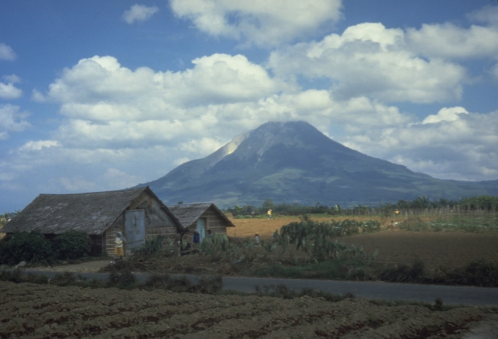
The Center for Volcanology and Geological Hazard/Pusat Vulkanologi dan Mitigasi Bencana Geologi (CVGHM/PVMBG) reported that unrest continued at Sinabung on 2 September 2025 (local). The alert level remained at "Level 2 - Alert" (on a 4-level scale).
Observatory Alert Level: "Level 2 - Alert" (on a 4-level scale) Source: Center for Volcanology and Geological Hazard/Pusat Vulkanologi dan Mitigasi Bencana Geologi (CVGHM/PVMBG) |
Soputan (Indonesia) | Unrest
|
|
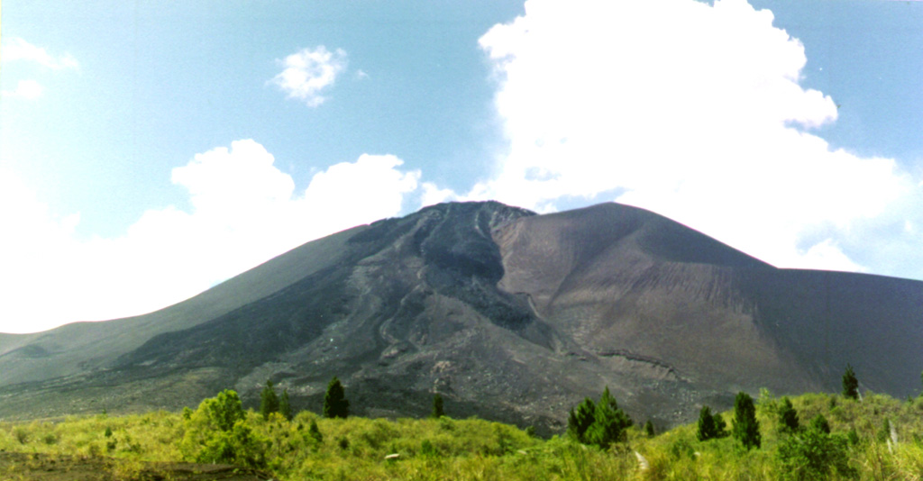 Soputan SoputanSangihe Volcanic Arc |
The Center for Volcanology and Geological Hazard/Pusat Vulkanologi dan Mitigasi Bencana Geologi (CVGHM/PVMBG) reported that unrest continued at Soputan on 2 September 2025 (local). There was 1 seismically detected rockfall.
Observatory Alert Level: unavailable or not collected Source: Center for Volcanology and Geological Hazard/Pusat Vulkanologi dan Mitigasi Bencana Geologi (CVGHM/PVMBG) |
Turrialba (Costa Rica) | Unrest
|
|
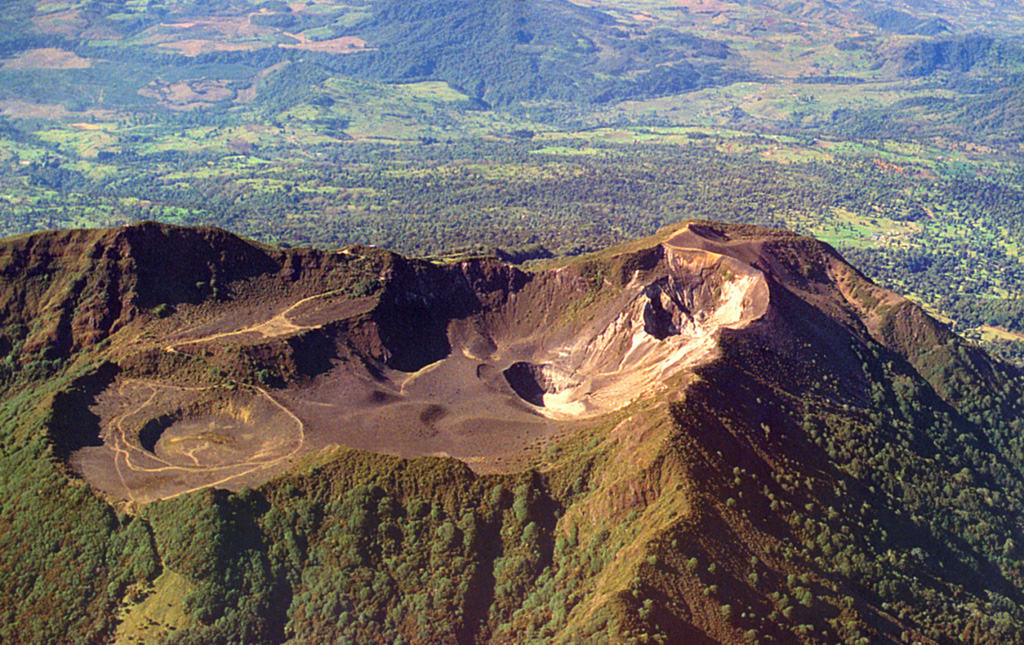 Turrialba TurrialbaCentral America Volcanic Arc |
The Observatorio Vulcanológico y Sismológico de Costa Rica - Universidad Nacional (OVSICORI-UNA) reported that unrest continued at Turrialba between 1 September 2025 (local) and 2 September 2025 (local). The alert level remained at "Level 2 - Warning" (on a 0–4 level scale).
Observatory Alert Level: "Level 2 - Warning" (on a 0–4 level scale) Source: Observatorio Vulcanológico y Sismológico de Costa Rica - Universidad Nacional (OVSICORI-UNA) |
Gede-Pangrango (Indonesia) | Background or normal activity
|
|
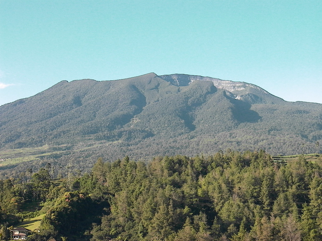 Gede-Pangrango Gede-PangrangoSunda Volcanic Arc |
The Center for Volcanology and Geological Hazard/Pusat Vulkanologi dan Mitigasi Bencana Geologi (CVGHM/PVMBG) issued a report for Gede-Pangrango on 2 September 2025 (local). Gas and/or vapor plume(s) rose to a maximum of 50 m (164 ft) above the vent.
Observatory Alert Level: unavailable or not collected Source: Center for Volcanology and Geological Hazard/Pusat Vulkanologi dan Mitigasi Bencana Geologi (CVGHM/PVMBG) |
Kelimutu (Indonesia) | Background or normal activity
|
|
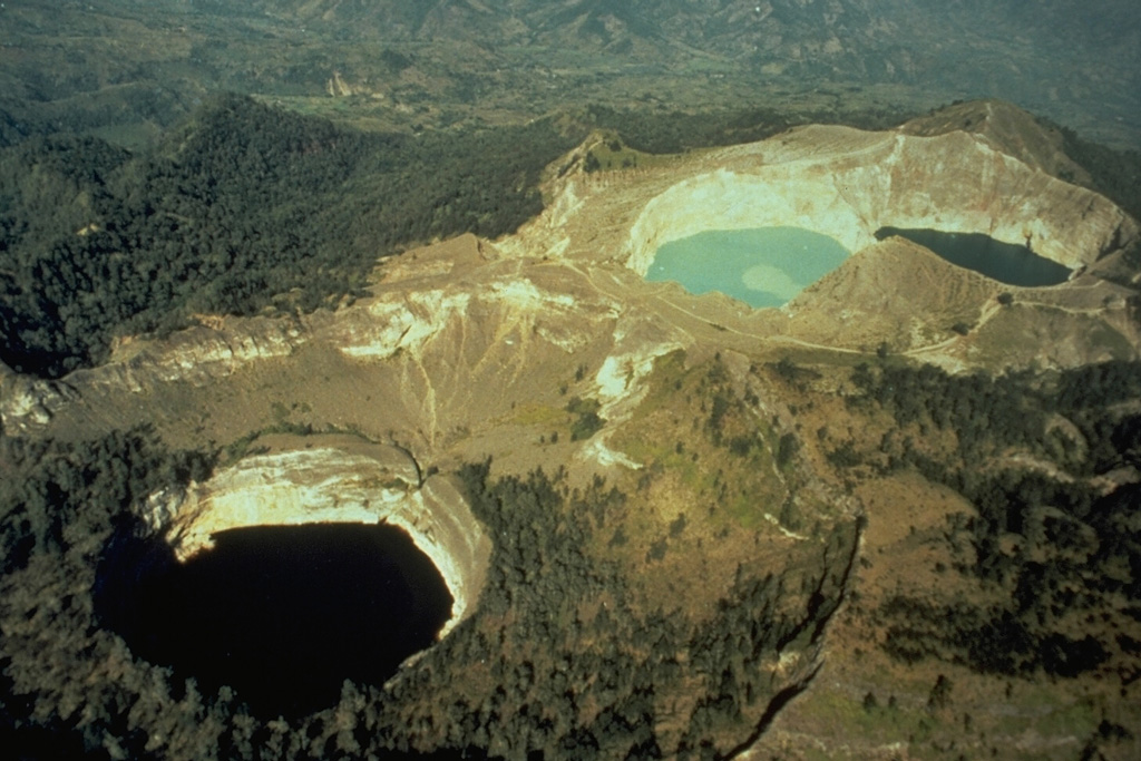 Kelimutu KelimutuSunda Volcanic Arc |
The Center for Volcanology and Geological Hazard/Pusat Vulkanologi dan Mitigasi Bencana Geologi (CVGHM/PVMBG) issued a report for Kelimutu on 2 September 2025 (local).
Observatory Alert Level: unavailable or not collected Source: Center for Volcanology and Geological Hazard/Pusat Vulkanologi dan Mitigasi Bencana Geologi (CVGHM/PVMBG) |
Klyuchevskoy (Russia) | Background or normal activity
|
|
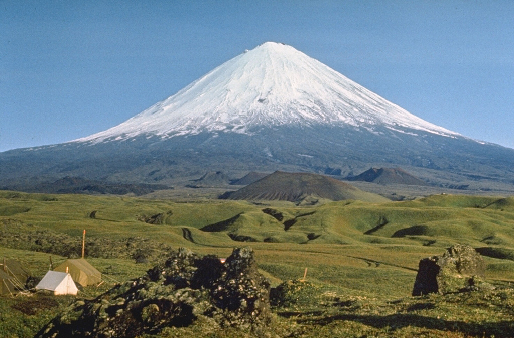 Klyuchevskoy KlyuchevskoyEastern Kamchatka Volcanic Arc |
The Laboratory for Seismic and Volcanic Activity Research (ISVA) issued a report for Klyuchevskoy on 2 September 2025 (local). Intermittent episodes of spasmodic tremor were recorded. Seismicity registered above background levels, with 283 events recorded.
Observatory Alert Level: unavailable or not collected Source: Laboratory for Seismic and Volcanic Activity Research (ISVA) |
Papandayan (Indonesia) | Background or normal activity
|
|
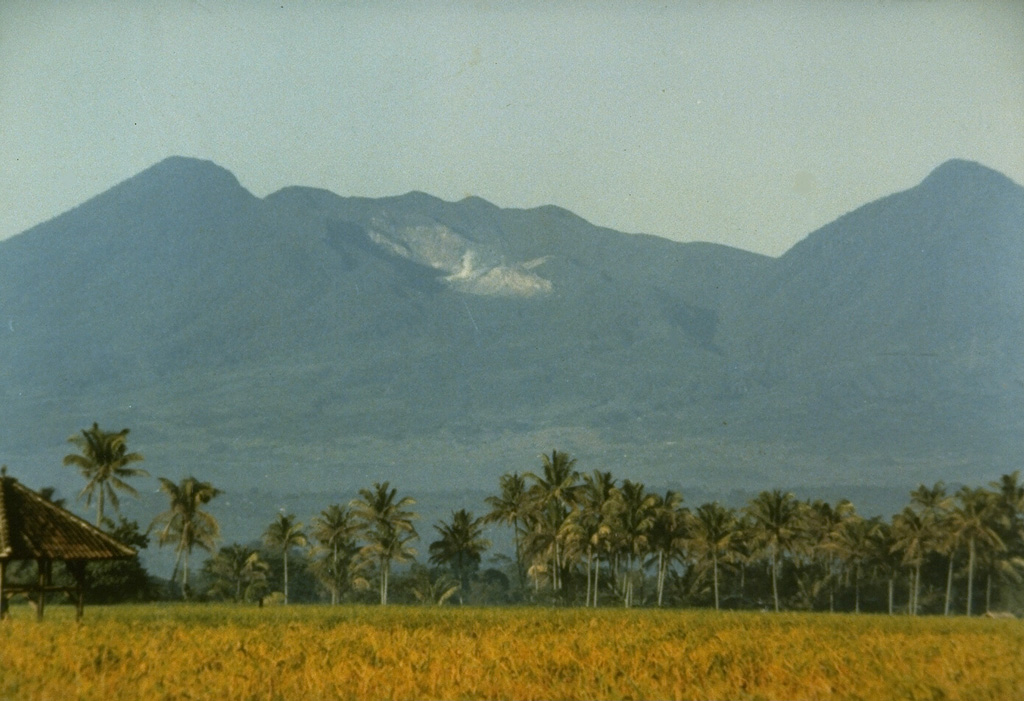 Papandayan PapandayanSunda Volcanic Arc |
The Center for Volcanology and Geological Hazard/Pusat Vulkanologi dan Mitigasi Bencana Geologi (CVGHM/PVMBG) issued a report for Papandayan on 2 September 2025 (local). Gas and/or vapor plume(s) rose to a maximum of 15 m (49 ft) above the vent.
Observatory Alert Level: unavailable or not collected Source: Center for Volcanology and Geological Hazard/Pusat Vulkanologi dan Mitigasi Bencana Geologi (CVGHM/PVMBG) |
Tangkuban Parahu (Indonesia) | Background or normal activity
|
|
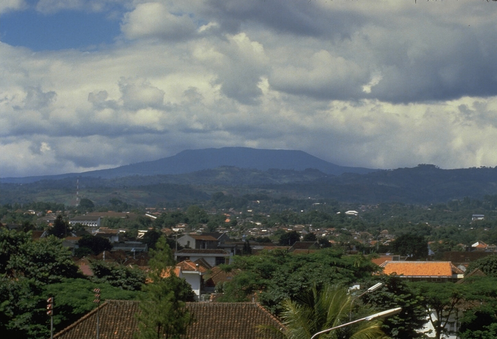 Tangkuban Parahu Tangkuban ParahuSunda Volcanic Arc |
The Center for Volcanology and Geological Hazard/Pusat Vulkanologi dan Mitigasi Bencana Geologi (CVGHM/PVMBG) issued a report for Tangkuban Parahu on 2 September 2025 (local). Gas and/or vapor plume(s) rose to a maximum of 150 m (492 ft) above the vent.
Observatory Alert Level: unavailable or not collected Source: Center for Volcanology and Geological Hazard/Pusat Vulkanologi dan Mitigasi Bencana Geologi (CVGHM/PVMBG) |
The Daily Volcanic Activity Report is a cooperative project between the Smithsonian's Global Volcanism Program and the USGS Volcano Disaster Assistance Program. The report is published Monday-Friday, and roughly describes volcanic activity that has occurred and been reported upon during the preceding 24 hours. Because data for these reports are gathered Monday through Friday, reports published on Mondays may be incomplete and/or include events that occurred over the weekend. The report is not a comprehensive list of all currently erupting volcanoes, but rather a summary of activity that meets criteria described below.
Daily Volcanic Activity Reports are preliminary and subject to change. Carefully reviewed, detailed narratives over longer time periods are published as the Weekly Volcanic Activity Reports and reports of the Bulletin of the Global Volcanism Network available through volcano profile pages. Daily Volcanic Activity Reports should not be used in place of primary information from volcano observatories, particularly to inform decision-making during volcanic unrest.
The Daily Volcanic Activity Report does not necessarily include all volcanic activity on Earth during each day. The overall goal is to document the alert level as well as more detailed daily information for a prioritized list of volcanoes.
Since these reports are intended to provide timely information about global volcanism on a daily basis, they are generated rapidly by summarizing volcanic reports from various sources (including volcano observatories and Volcanic Ash Advisory Centers), with little time for verification. The accuracy of the Daily Volcanic Activity Report is dependent upon the quality and content of the volcanic activity reports being collected, and accordingly may include some events ultimately found to be erroneous or misleading. Reports published in other products cover longer time periods, providing an opportunity for additional review. Because of our emphasis on rapid reporting on the web we have avoided diacritical marks.
Rapidly developing events lead to coverage that is often fragmentary. Volcanic eruptions, including their plumes and associated atmospheric effects, are complex phenomena that may require months to years of data analysis to create a comprehensive summary and interpretation of events. Preliminary accounts sometimes contain errors and "false alarms," and accordingly, this report may include some events ultimately found to be erroneous or misleading.
The Volcano List tab contains additional columns for Country, Volcanic Region, and Last Known Eruption. The country name is present for informational purposes only, and may not correspond to official US Government policy. Multiple hyphenated countries indicate a volcano that is present along a border along those countries; additional information is available about disputed areas. The names of Volcanic Regions reflect common scientific or geographic names combined with terms indicative of the general tectonic environment, and have no political implications. The "Last Known Activity" field presents start and stop dates using data available from the most recent eruption update, with "(continuing)" indicating a volcanco on the Current Eruptions page. Volcanoes may be noted on a Daily Report as having eruptive activity but not shown as having a current eruption due to a new eruption starting after the last update, which are generally done every 6-8 weeks. This field will always show the latest eruption dates regardless of the date selected for reports.
Information presented on this website is considered public information and may be distributed or copied. Use of appropriate byline/photo/image credit is requested. We strongly recommend that USGS data be acquired directly from a USGS server and not through other sources that may change the data in some way. While USGS makes every effort to provide accurate and complete information, various data such as names, telephone numbers, etc. may change prior to updating. USGS welcomes suggestions on how to improve our home page and correct errors. USGS provides no warranty, expressed or implied, as to the accuracy, reliability or completeness of furnished data.
Some of the documents on this server may contain live references (or pointers) to information created and maintained by other organizations. Please note that USGS does not control and cannot guarantee the relevance, timeliness, or accuracy of these outside materials.
For site security purposes and to ensure that this service remains available to all users, this government computer system employs software programs to monitor network traffic to identify unauthorized attempts to upload or change information, or otherwise cause damage. Unauthorized attempts to upload information or change information on this website are strictly prohibited and may be punishable under the Computer Fraud and Abuse Act of 1986 and the National Information Infrastructure Protection Act. Information may also be used for authorized law enforcement investigations. (Last modified September 21, 1999.)
U.S. Department of the Interior, U.S. Geological Survey, Reston, VA, USA


 Cite this Report